Plizio Visual Lab
Ambohimahasoa
ℹ️Practical info — Ambohimahasoa
▾
🌤 Weather — 5 days
📍 Nearby
Sights nearby
💡 Tips
- Bring warm layers, as the higher elevation makes it cooler than the coast.
- Respect local 'fady' (taboos) when visiting nearby traditional villages.
- The local market is best visited early in the morning for fresh produce.
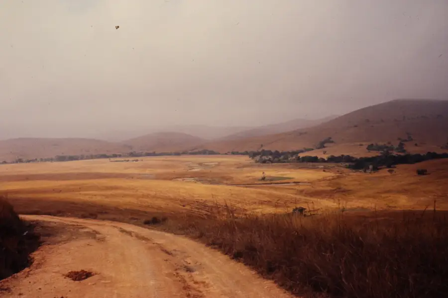
- Enjoy the views of the intricate Betsileo rice terraces just outside town.
🍽 Food
A sweet peanut and rice flour snack wrapped in banana leaves, great for a quick bite.
Pork cooked with crushed cassava leaves, a hearty local staple.
Enjoy locally grown hot tea to ward off the highland chill.
🛍 Shopping · 🧘 Quiet spots
Look for intricate, hand-carved wooden souvenirs in artisan stalls.
Traditional woven cloth with spirited patterns, great as a shawl or wall hanging.
Take a short walk into the surrounding pine forests for fresh air and tranquility.
Find a high spot overlooking the stepped rice fields at sunset.
Water temperature…
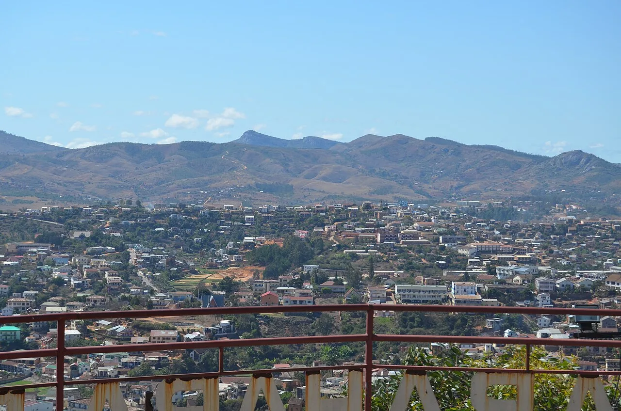
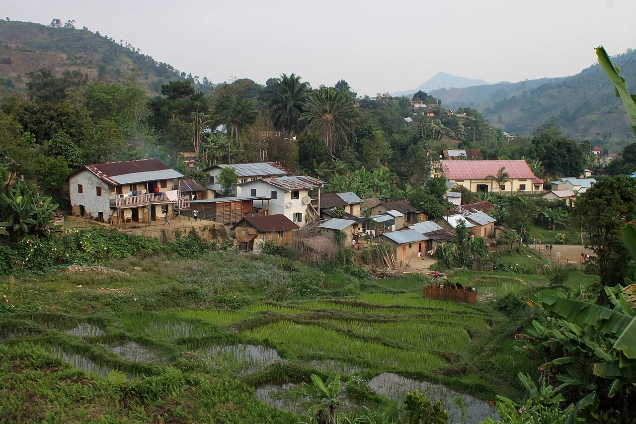
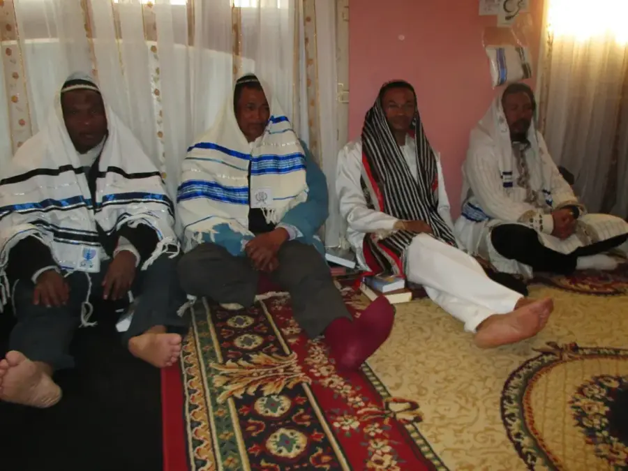
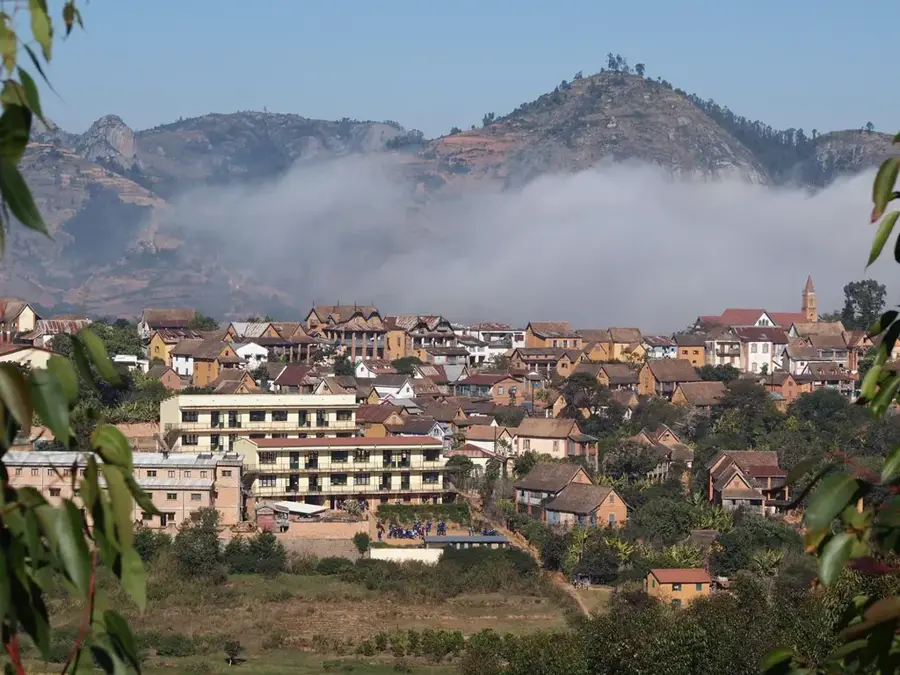
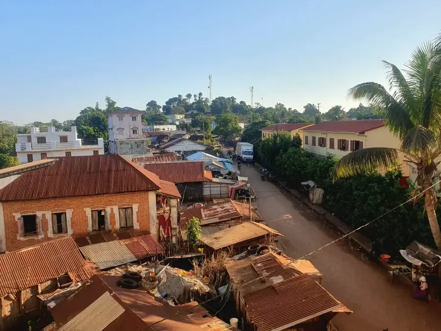
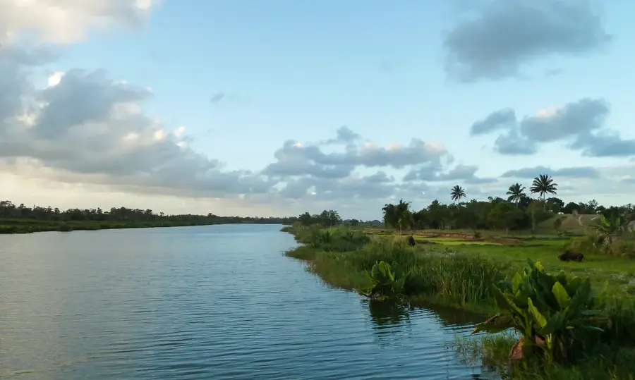
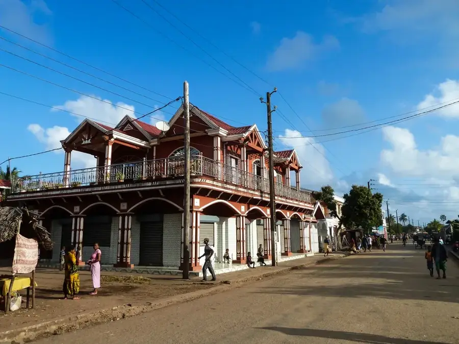
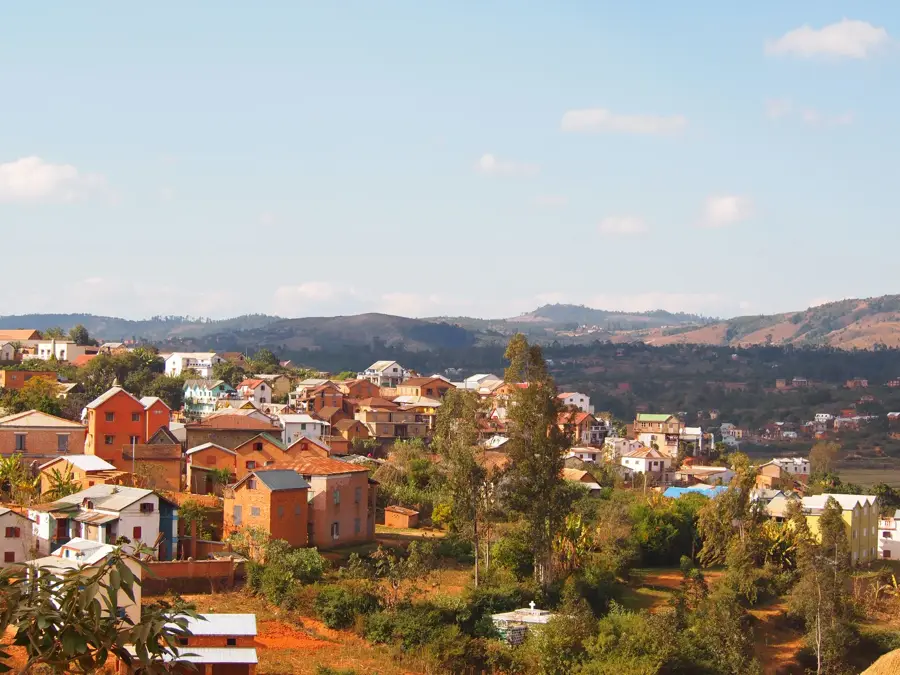
Ambohimahasoa is a central town in the highlands of Madagascar, located within the Haute Matsiatra region. It is strategically positioned along the RN7 national road, the country's most important transport artery, approximately 350 kilometers south of Antananarivo. The town is famous for its scenic terraced rice fields that drape over the surrounding hills, a testament to the agricultural ingenuity of the Betsileo people. In addition to rice, the region is a significant producer of beans, cassava, and maize. Historically, Ambohimahasoa grew as an administrative center during the colonial era, serving as a key waypoint for travelers moving between the central plateau and the south. Geographically, the area is surrounded by granite outcrops and remnants of highland forests, often experiencing a cool and misty climate. With an urban population of about 20,000, it serves as a primary commercial hub for nearby mountain communities. The local culture is deeply rooted in Betsileo traditions, reflected in the distinctive multi-story brick architecture and animated seasonal community festivals.
- Location: Madagascar
- Nearby: Fianarantsoa (26 km)
- Population: ~12.291 (2023)
Best time to visit & climate
The most pleasant time to visit is Apr, Sep, Oct.
| Jan | Feb | Mar | Apr | May | Jun | Jul | Aug | Sep | Oct | Nov | Dec | |
|---|---|---|---|---|---|---|---|---|---|---|---|---|
| Avg °C | 20 | 20 | 19 | 18 | 16 | 14 | 13 | 14 | 16 | 19 | 20 | 20 |
| Rain mm | 395 | 293 | 234 | 89 | 55 | 52 | 53 | 27 | 29 | 82 | 176 | 288 |
Geography
Facts
- Ambohimahasoa is a major stop on the RN7 highway in the southern highlands.
- It is renowned for the intricate terraced rice paddies of the Betsileo.
- The town is located about 350 kilometers south of Antananarivo.
- Its population is estimated at approximately 20,000 residents.
- The area is one of the leading producers of beans in Madagascar.
- The town sits at a high elevation, resulting in a temperate climate.
Explore nearby
Notable places around
Route planner — Car & Motorhome
Where do you start? We build the route here, with stops and country notes along the way.
© OpenStreetMap contributors · OpenRouteService
Frequently asked questions
How many days to spend in Ambohimahasoa?
When is the best time to travel?
How to get there?
Are there local specialties?
Family-friendly?
Ambohimahasoa: where is it located?
Ambohimahasoa: when is the best time to visit?
Ambohimahasoa: why is it worth visiting?

Nearby cities
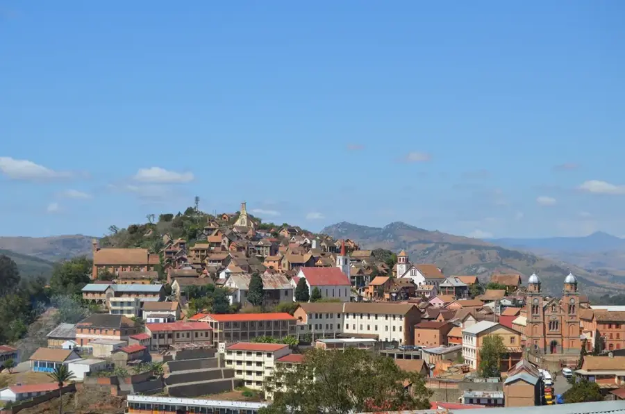
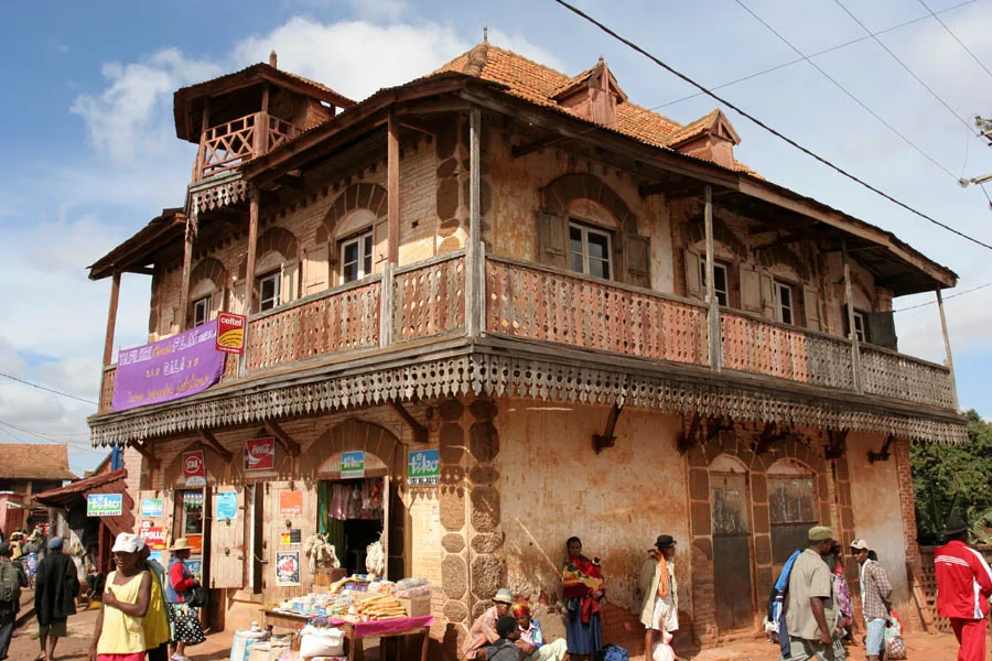
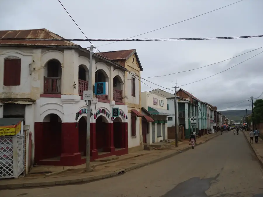


History & landmarks
More places