Plizio Visual Lab
Rokantiškės Hill
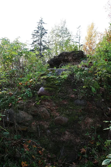
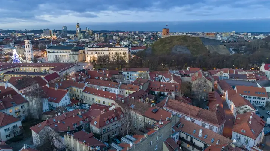
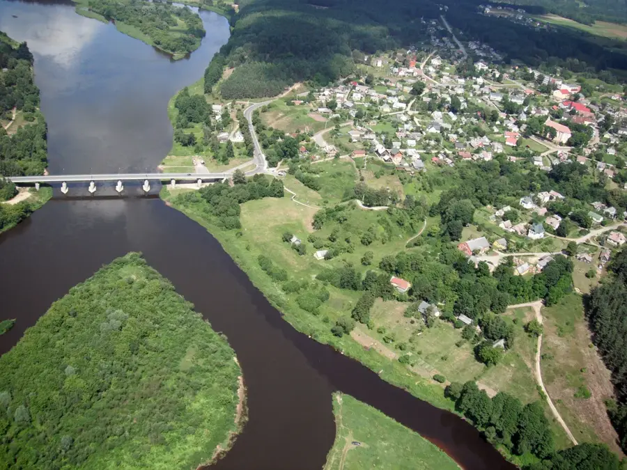
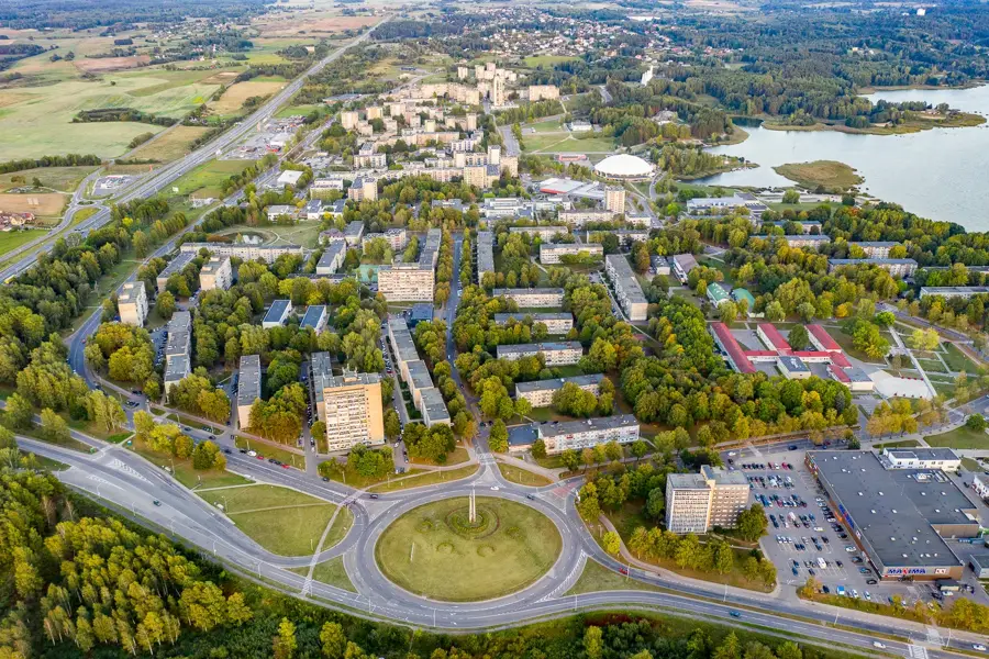
Rokantiškės Hill is a prominent topographic point in the eastern part of Vilnius, serving as the highest elevation within the city limits. It is part of the Medininkai Highlands, a geomorphological formation shaped by the penultimate ice age, making it older than many other landscapes in Lithuania. From the summit, visitors can enjoy a wide panoramic view over the Vilnia River valley and the surrounding forested areas. Historically, the site is closely linked to Rokantiškės Castle, one of the oldest defense structures in Lithuania, whose ruins are located nearby. The hill's strategic position made it an essential lookout point for the defense of Vilnius for centuries. Today, the area is a favorite destination for hikers and nature enthusiasts seeking tranquility away from the urban bustle. The steep slopes and dense vegetation give the hill a wild and untouched character, preserving its natural beauty.
- Location: Lithuania
- Top sights: Buvusi Naujosios Vilnios rajono vasaros estrada · Pūčkorių piliakalnis · Rokantiškių kalva
- Nearby: Grigiškės (19 km)
Best time to visit & climate
The most pleasant time to visit is Jun–Aug.
| Jan | Feb | Mar | Apr | May | Jun | Jul | Aug | Sep | Oct | Nov | Dec | |
|---|---|---|---|---|---|---|---|---|---|---|---|---|
| Avg °C | -7 | -6 | -1 | 6 | 13 | 16 | 19 | 18 | 13 | 6 | 1 | -4 |
| Rain mm | 52 | 43 | 44 | 47 | 74 | 77 | 102 | 83 | 54 | 68 | 56 | 54 |
📋 Practical info
Geography
Facts
- The hill reaches a maximum altitude of approximately 230 meters above sea level.
- It is part of the Medininkai Highlands, the oldest highland region in Lithuania.
- The nearby Rokantiškės Castle was built in the 12th century by Duke Alšis.
- The slopes of the hill have a vertical drop of up to 40 meters to the river valley.
- Geologically, the formation consists of ancient glacial moraine deposits.
- Archaeological evidence suggests the site was used for defensive purposes since the 11th century.
Explore nearby
Notable places around
Route planner — Car & Motorhome
Where do you start? We build the route here, with stops and country notes along the way.
© OpenStreetMap contributors · OpenRouteService
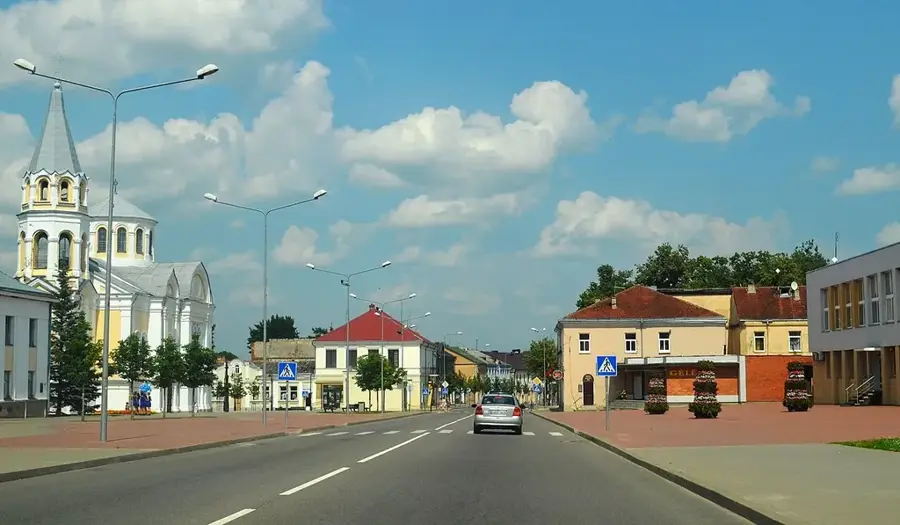
Sights in the town Rokantiškės Hill (10)
Rokantiškių piliavietės regykla
Viewpoint at the Rokantiškės castle site, overlooking Naujoji Vilnia and the Vilnelė river.
Strielčiukų žygtakis
Hiking trail near Rokantiškės castle through forests and hills, 2.5 or 3.5 km long.
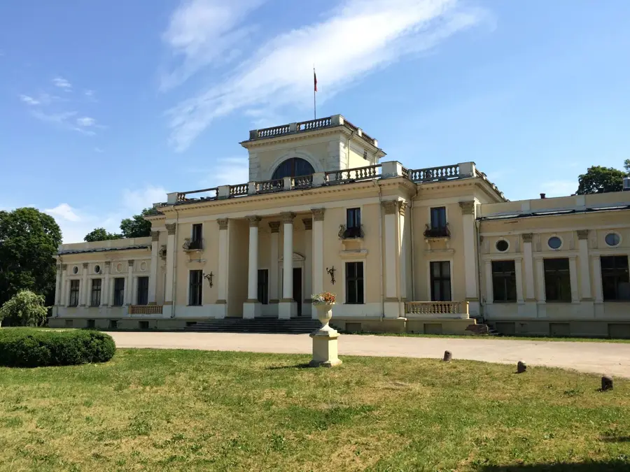
Pūčkorių dvaras
Manor house in Pūčkoriai, a historic building with a park.
Tuputiškių atodangos regykla
Viewing platform at the Tuputiškės outcrops, offering a view of the rock formations.
Vaizdas nuo pilkapyno
View from a burial mound, overlooking the surrounding landscape.
Naujosios Vilnios pilkapynas
Burial mound in Lithuania, an archaeological site from pre-Christian times.
Sights nearby
Frequently asked questions
What can you see on Rokantiškės Hill?
How do you reach the hill?
Is the site protected?
Are there information boards there?
Is it worth visiting with children?
Rokantiškės Hill: where is it located?
Rokantiškės Hill: what is there to see?
Rokantiškės Hill: when is the best time to visit?
Rokantiškės Hill: why is it worth visiting?

Nearby cities


History & landmarks