Plizio Visual Lab
Pavilniai Regional Park
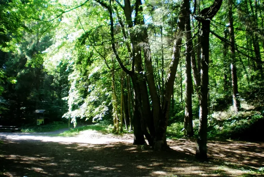
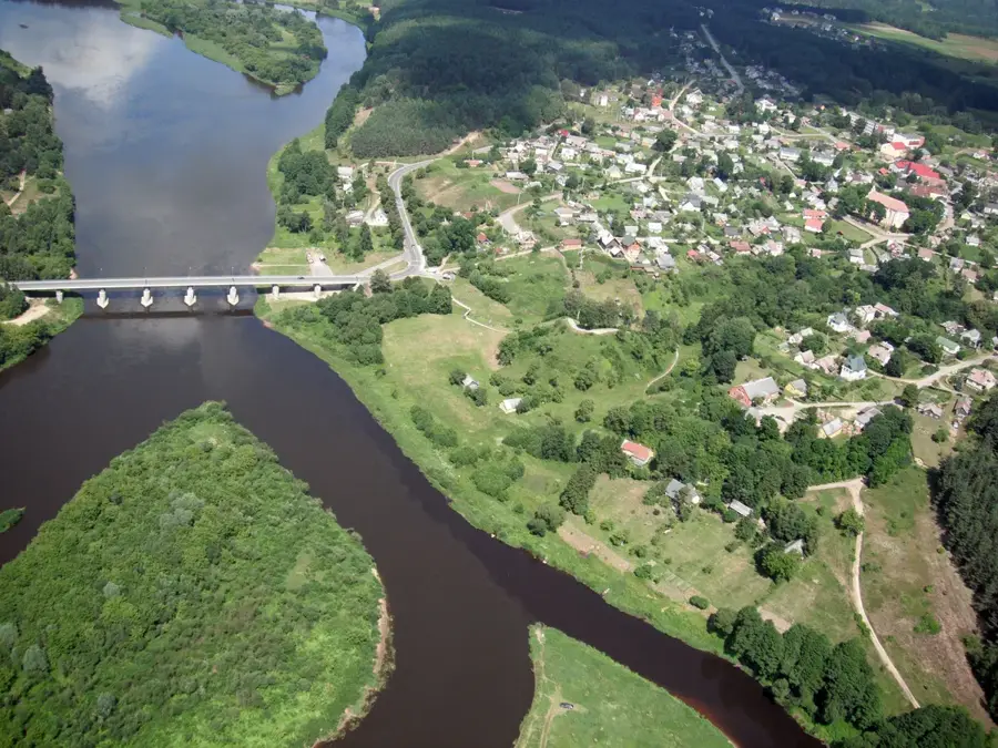
Pavilniai Regional Park is a scenic treasure located entirely within the city limits of Vilnius. Established in 1992, this urban nature park is distinguished by its dramatic and highly articulated topography, deeply carved over millennia by the winding Vilnia River. The park's undisputed centerpiece is the Pūčkoriai exposure, a spectacular, near-vertical escarpment towering over 65 meters high. This is not only the highest geological outcrop in Lithuania but also an invaluable site for researchers studying the Ice Age sedimentary layers that shaped the valley. The rim of the escarpment gives panoramic panoramic views over the river valley and the surrounding ancient hillside forests. These steep, mostly inaccessible woodlands act as a vital urban sanctuary for rare avifauna, most notably the elusive black woodpecker and various owl species. A network of well-maintained walking trails guides visitors from the heights of the cliff down into the valley, past historic watermills and the ruins of an old cannon foundry.
- Location: Lithuania
- Top sights: Patrankų liejyklos liekanos · Vaizdas į Pūčkorių slėnį · Pūčkorių dvaras
- Nearby: Grigiškės (17 km)
Best time to visit & climate
The most pleasant time to visit is Jun–Aug.
| Jan | Feb | Mar | Apr | May | Jun | Jul | Aug | Sep | Oct | Nov | Dec | |
|---|---|---|---|---|---|---|---|---|---|---|---|---|
| Avg °C | -7 | -6 | -1 | 6 | 13 | 16 | 19 | 18 | 13 | 6 | 1 | -4 |
| Rain mm | 52 | 43 | 44 | 47 | 74 | 77 | 102 | 83 | 54 | 68 | 56 | 54 |
📋 Practical info
Geography
Explore nearby
Notable places around
Route planner — Car & Motorhome
Where do you start? We build the route here, with stops and country notes along the way.
© OpenStreetMap contributors · OpenRouteService
Sights in the town Pavilniai Regional Park (10)
Belmonto nuotykių parkas
Belmonto Adventure Park has climbing courses and hospitality services in nature.
Pūčkorių atodanga
The Pūčkoriai outcrop is a geological formation in Vilnius, Lithuania.
Pūčkorių pažintinis takas
The Pūčkoriai educational trail runs through forests and past geological features.
Pūčkorių piliakalnis
Pūčkoriai hill fort is an ancient Lithuanian fortification.
Ancučių kraštovaizdžio draustinis
The Ancučiai landscape reserve protects the natural diversity of the area.
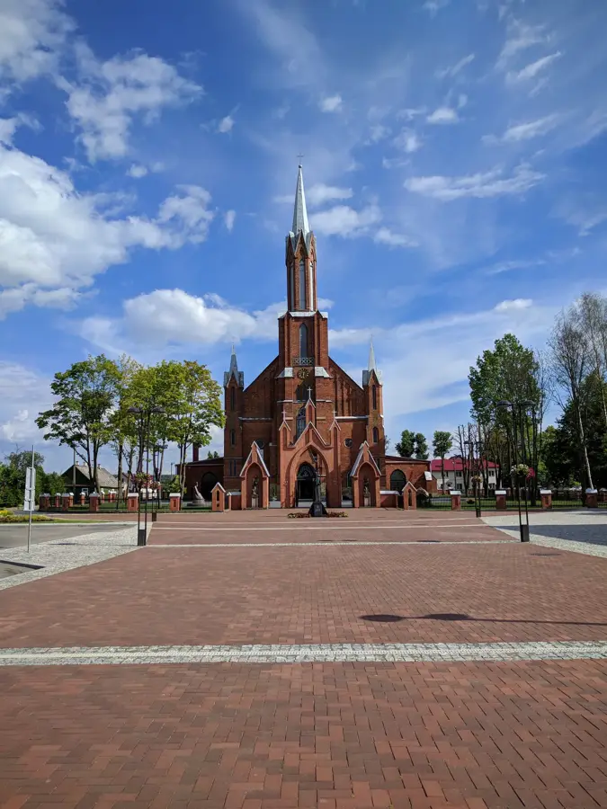
Pavilnio Kristaus Karaliaus ir Šv. Kūdikėlio Jėzaus Teresės bažnyčia
The Church of Christ the King and St. Thérèse of the Child Jesus in Pavilnys is a church building in Vilnius.
Sights nearby
Frequently asked questions
What is the park's main attraction?
Is the park easily accessible from Vilnius?
Are there hiking trails?
Can you ski here in winter?
What is the Belmontas complex?
Pavilniai Regional Park: where is it located?
Pavilniai Regional Park: what is there to see?
Pavilniai Regional Park: when is the best time to visit?
Pavilniai Regional Park: why is it worth visiting?

Nearby cities


History & landmarks