Plizio Visual Lab
Neris River
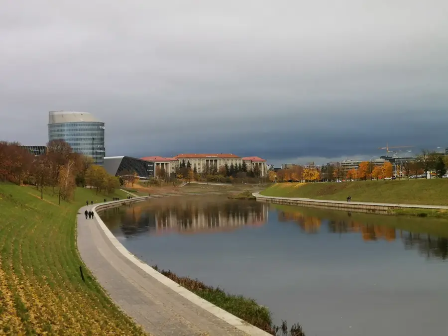
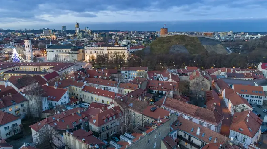
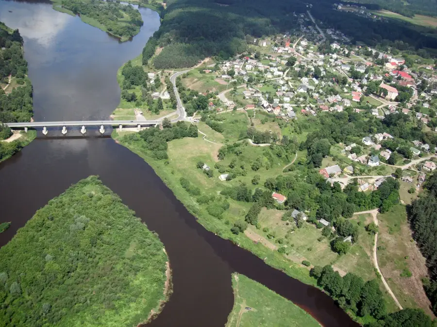
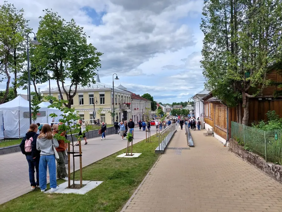
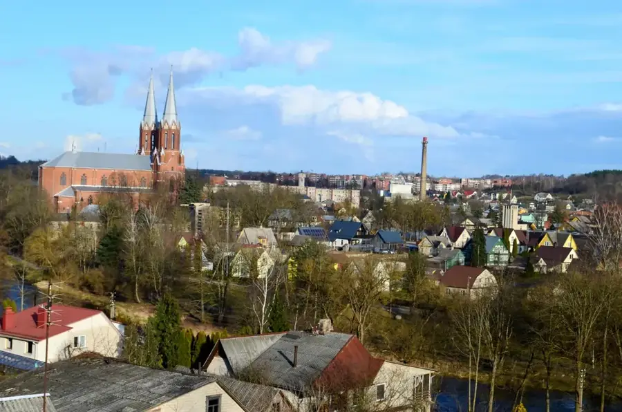
The Neris is the second-longest river in Lithuania, measuring 510 kilometers, and originates in Belarus before flowing through the Lithuanian capital, Vilnius. It eventually joins the Nemunas river in the city of Kaunas, thereby forming an important waterway network in the heart of the country. The Neris river valley is distinguished by its scenic landscape, where rolling hills, dense forests, and historic hillforts line the banks. Unlike many other European rivers, the Neris has remained unregulated across large stretches, which has contributed to the preservation of rich biodiversity. The river provides a habitat for rare fish species, such as salmon and sea trout, which swim upstream to spawn. Along its banks lie numerous regional parks that serve as popular recreational areas for hikers and cyclists.
- Location: Lithuania
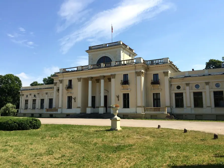
- Top sights: Green Bridge · Hilary Raduszkiewicz palace · Vilniaus Kongresų rūmai
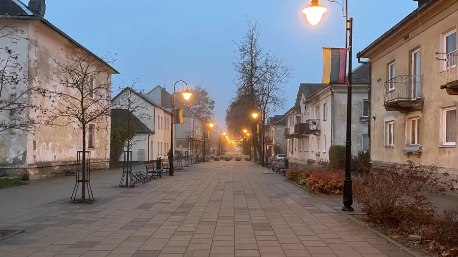
- Nearby: Grigiškės (13 km)
Best time to visit & climate
The most pleasant time to visit is Jun–Aug.
| Jan | Feb | Mar | Apr | May | Jun | Jul | Aug | Sep | Oct | Nov | Dec | |
|---|---|---|---|---|---|---|---|---|---|---|---|---|
| Avg °C | -7 | -6 | -1 | 6 | 13 | 16 | 19 | 18 | 13 | 6 | 1 | -4 |
| Rain mm | 52 | 43 | 44 | 47 | 74 | 77 | 102 | 83 | 54 | 68 | 56 | 54 |
📋 Practical info
Geography
Explore nearby
Notable places around
Route planner — Car & Motorhome
Where do you start? We build the route here, with stops and country notes along the way.
© OpenStreetMap contributors · OpenRouteService
Sights in the town Neris River (10)
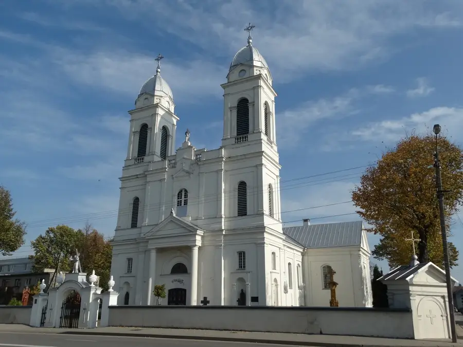
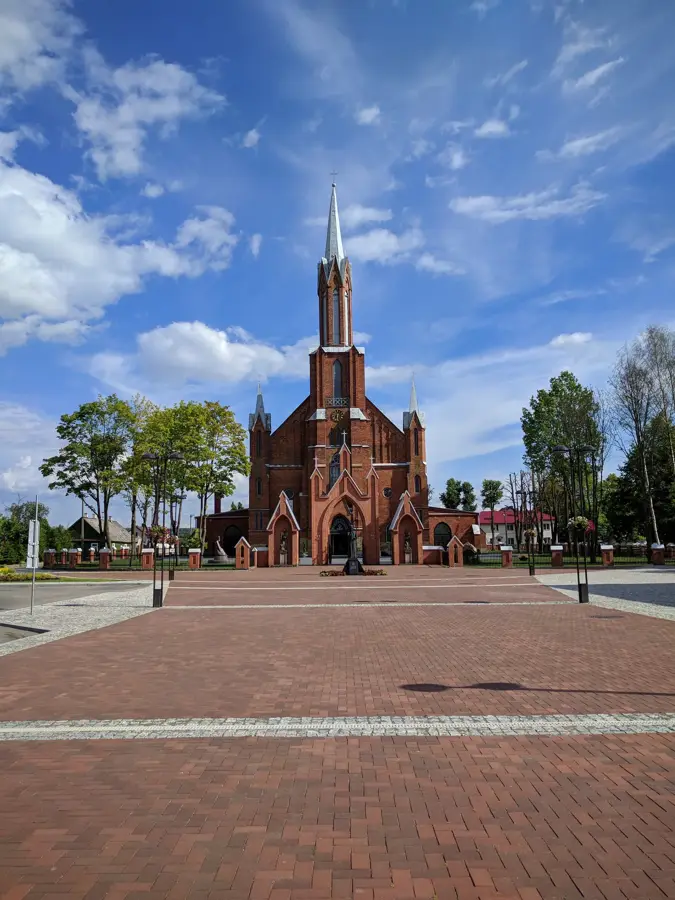
Church of St. Raphael the Archangel
The Church of St. Raphael the Archangel in Vilnius is a place of worship.
Lithuanian National Opera and Ballet Theatre
The Lithuanian National Opera and Ballet Theatre in Vilnius is a theatre building.
Stasio Vainiūno namai-muziejus🏛 museum
The Stasys Vainiūnas house-museum is open only by prior phone appointment.
Beatrice's House🏛 museum
Beatričė's House is a museum in Vilnius.
Šv. Vardano armėnų apaštališkoji bažnyčia
The Armenian Apostolic Church of St. Vardan in Vilnius.
Vaidilos teatras
Vaidilos Theatre is a stage in Vilnius.
Sights nearby
Frequently asked questions
Which major cities does the Neris flow through?
Can you go kayaking on the Neris?
How clean is the water?
What landmarks are on the banks?
Are there bike paths along the river?
Neris River: where is it located?
Neris River: what is there to see?
Neris River: when is the best time to visit?
Neris River: why is it worth visiting?

Nearby cities


History & landmarks