Plizio Visual Lab
Dubysa Regional Park
Weather…
Water temperature…
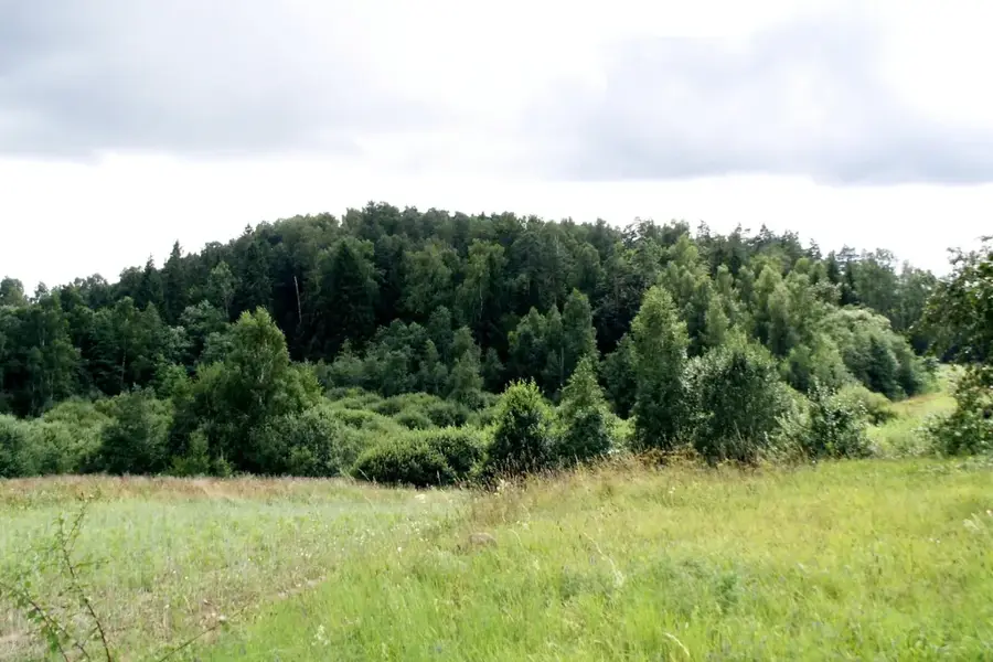
Established in 1992, the Dubysa Regional Park protects the deep, immensely scenic valley of the Dubysa River in central and western Lithuania. The Dubysa, widely considered one of the country's most beautiful rivers, has carved deeply into the landscape over millennia, creating a distinct V-shaped valley flanked by steep, erosion-prone slopes. These slopes are frequently cloaked in dense floodplain and deciduous forests, which transition into highly valuable dry and semi-dry calcareous grasslands in open areas. This mosaic of microhabitats makes the park a crucial sanctuary for a variety of rare flora and fauna. The steep, clay-rich riverbanks provide the brilliantly colored common kingfisher with excellent conditions for excavating its nesting tunnels. Furthermore, the sun-drenched dry grasslands are exceptionally rich in insect life, supporting numerous rare and protected butterfly species. Alongside its natural beauty, the park is dotted with the evocative ruins of old watermills and ancient hillforts (piliakalnis) that echo the historic battles between Lithuanians and the Teutonic Order.
- Location: Lithuania
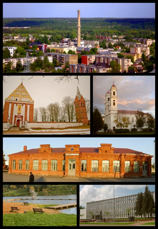
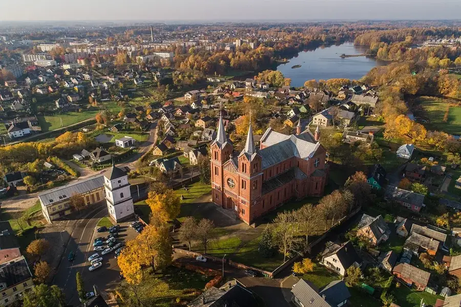
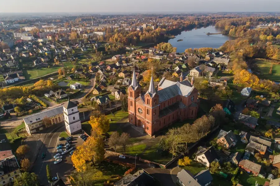
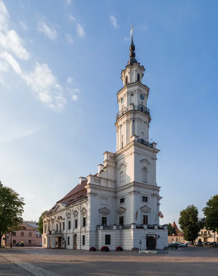
- Top sights: Šiaulelių piliakalnis · Skaraitiškės dvaro sodyba · Katauskių dvaro sodybos fragmentai
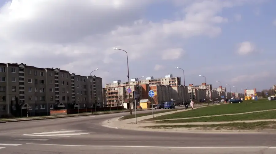
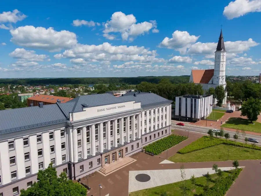
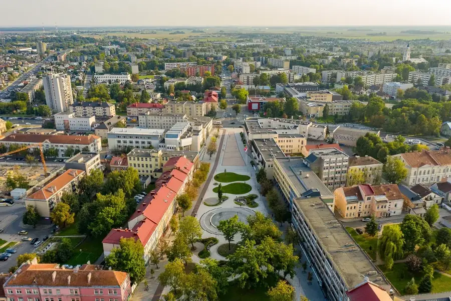
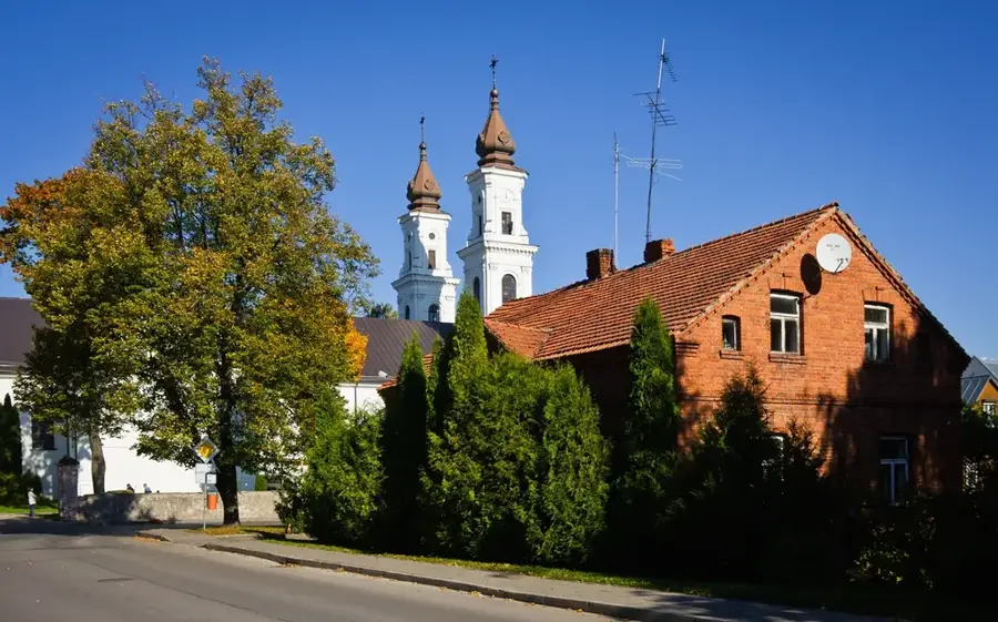
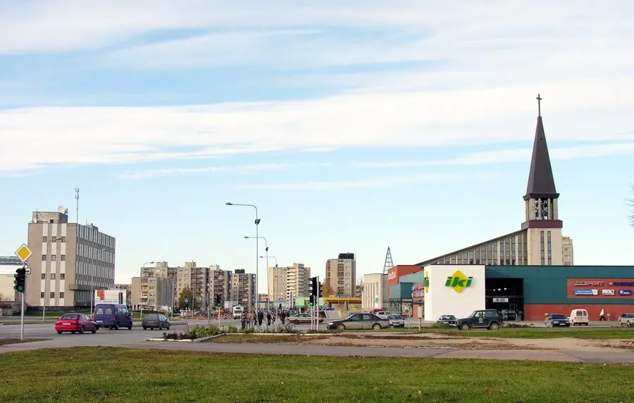
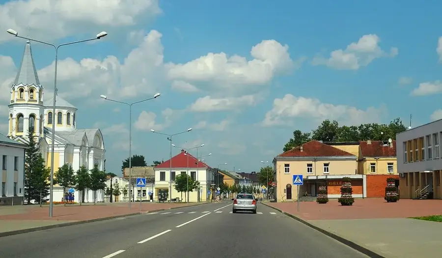
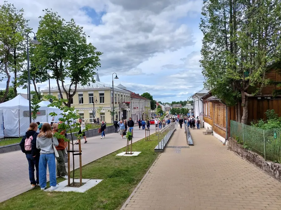
- Nearby: Raseiniai (16 km)
Best time to visit & climate
The most pleasant time to visit is Jun–Aug.
| Jan | Feb | Mar | Apr | May | Jun | Jul | Aug | Sep | Oct | Nov | Dec | |
|---|---|---|---|---|---|---|---|---|---|---|---|---|
| Avg °C | -6 | -5 | 0 | 6 | 12 | 15 | 18 | 17 | 12 | 6 | 2 | -3 |
| Rain mm | 59 | 45 | 45 | 43 | 61 | 80 | 95 | 83 | 60 | 72 | 67 | 60 |
📋 Practical info
Geography
Explore nearby
Notable places around
Route planner — Car & Motorhome
Where do you start? We build the route here, with stops and country notes along the way.
© OpenStreetMap contributors · OpenRouteService
Sights in the town Dubysa Regional Park (6)
Sights nearby
Frequently asked questions
What is the symbol of the park?
Which bridge should you visit?
Are there trails for literature lovers?
Can you go canoeing on the Dubysa?
Where can you learn more about the nature?
Dubysa Regional Park: where is it located?
Dubysa Regional Park: what is there to see?
Dubysa Regional Park: when is the best time to visit?
Dubysa Regional Park: why is it worth visiting?

Nearby cities