Plizio Visual Lab
Dubysa Escarpment
Plizio editorial teamData Sources
peak
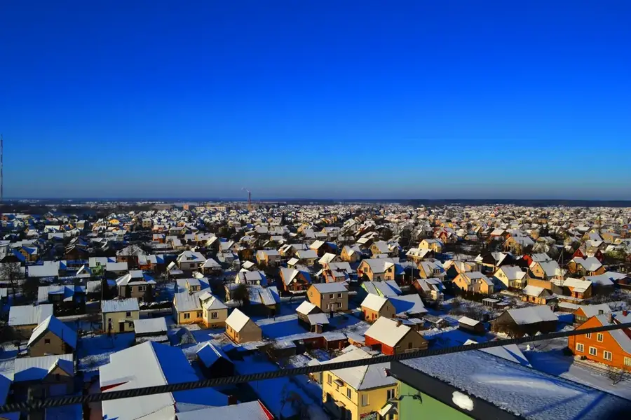
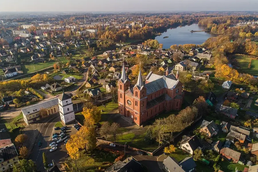
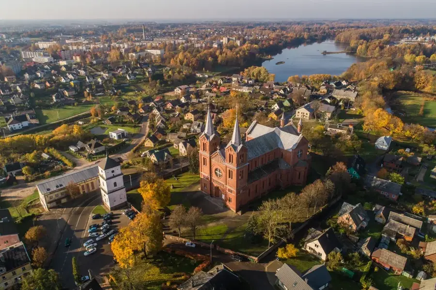
The Dubysa Escarpment describes the deeply incised erosional valley of the Dubysa River in central Lithuania, which is among the country's most striking geomorphological structures. The valley reaches a width of up to two kilometers and a depth of about 40 meters, with slopes often exhibiting steep angles. This formation originated from the massive meltwater flows at the end of the last ice age, which cut deep into the moraine plateau. Geological layers along the slopes reveal sediments from various epochs of the Quaternary period. The area is now part of the Dubysa Regional Park, established in 1992 to protect the unique landscape and biological diversity. Historically, the heights along the escarpment often served as sites for hillforts used in the Middle Ages for defense against crusaders. The combination of hydrological dynamics and slope inclination makes the Dubysa Escarpment a significant subject of study for geomorphology.
- Location: Lithuania
- Top sights: Betygalos I piliakalnis · Betygalos II piliakalnis · Kejėnų piliakalnis
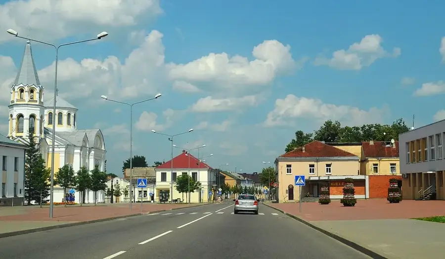
- Nearby: Raseiniai (14 km)
Best time to visit & climate
The most pleasant time to visit is Jun–Aug.
| Jan | Feb | Mar | Apr | May | Jun | Jul | Aug | Sep | Oct | Nov | Dec | |
|---|---|---|---|---|---|---|---|---|---|---|---|---|
| Avg °C | -6 | -5 | 0 | 6 | 12 | 16 | 18 | 17 | 12 | 6 | 2 | -3 |
| Rain mm | 55 | 44 | 44 | 45 | 63 | 80 | 93 | 82 | 57 | 69 | 62 | 56 |
📋 Practical info
Getting there
The elevated area is generally reached via a series of local driving routes that lead to the nearest geographical base. From there, visitors typically proceed on foot along naturally formed pathways toward the crest.
Best season
The most favorable conditions are found between May and September when trails are typically dry and visibility is highest. Clear, sunny days are highly recommended to fully appreciate the expansive surrounding views.
Terrain & paths
The ascent often features a steep incline over uneven, earthy terrain which may occasionally be reinforced with wooden steps. Approaching the viewpoint requires a moderate physical effort on sometimes slippery ground.
What to bring
Stout hiking footwear with an aggressive tread is crucial for safely navigating the steep and loose sections. Carrying a windbreaker is also practical, as conditions can become noticeably breezier at higher elevations.
Parking
Visitors can generally find small, informal parking zones near the start of the uphill path or along nearby local roads. It is important to park considerately without obstructing any ongoing agricultural or rural traffic.
Safety
Extra caution is required near the edges of steep drops or escarpments, as protective barriers are not always present. During wet weather, the descending paths can become exceptionally slippery and hazardous.
Time needed
A typical hike to the viewpoint and back generally takes roughly one to two hours, depending on individual fitness levels. Visitors should factor in some extra time for resting at the top and taking landscape photographs.
Geography
Facts
- The Dubysa valley reaches a depth of approximately 40 meters.
- It was formed by glacial meltwater during the retreat of the Weichselian glacier.
- The valley width varies between 0.5 and 2 kilometers.
- Part of the Dubysa Regional Park, established in 1992.
- Home to several historical hillforts (piliakalniai) from the 10th-14th centuries.
- Features significant outcrops of Quaternary geological layers.
Explore nearby
Notable places around
Route planner — Car & Motorhome
Where do you start? We build the route here, with stops and country notes along the way.
Vehicle
Only stops with (optional):
© OpenStreetMap contributors · OpenRouteService
Sights in the town Dubysa Escarpment (5)
Betygalos muziejus🏛 museum
Betygala museum on the Dubysa Escarpment.
🌐 muziejai.lt🕒 May-Sep Tu-Sa 9:00-18:00; Sa 10:00-16:00; Oct-Apr Tu-Fr 9:00
Sights nearby
Frequently asked questions
Why is the Dubysa Escarpment famous?
It provides one of the most beautiful river panoramas in Lithuania.
In which park is it located?
It is located in the heart of the Dubysa Regional Park.
Is the site suitable for hikers?
Yes, there are well-marked trails along the valley.
Which poet celebrated this place in verse?
The national poet Maironis dedicated many poems to the Dubysa.
Can you go canoeing there?
Yes, the Dubysa is a very popular river for canoeists.
Dubysa Escarpment: where is it located?
Dubysa Escarpment is located in Lithuania.
Dubysa Escarpment: what is there to see?
Highlights include Betygalos I piliakalnis, Betygalos II piliakalnis, Kejėnų piliakalnis.
Dubysa Escarpment: when is the best time to visit?
The most pleasant time to visit is Jun, Aug.
Dubysa Escarpment: why is it worth visiting?
The Dubysa Escarpment describes the deeply incised erosional valley of the Dubysa River in central Lithuania, which is among the country's most striking geomorphological structures.

Explore with Plizio
Discover more places in Europe
More places in Lithuania →
Nearby cities
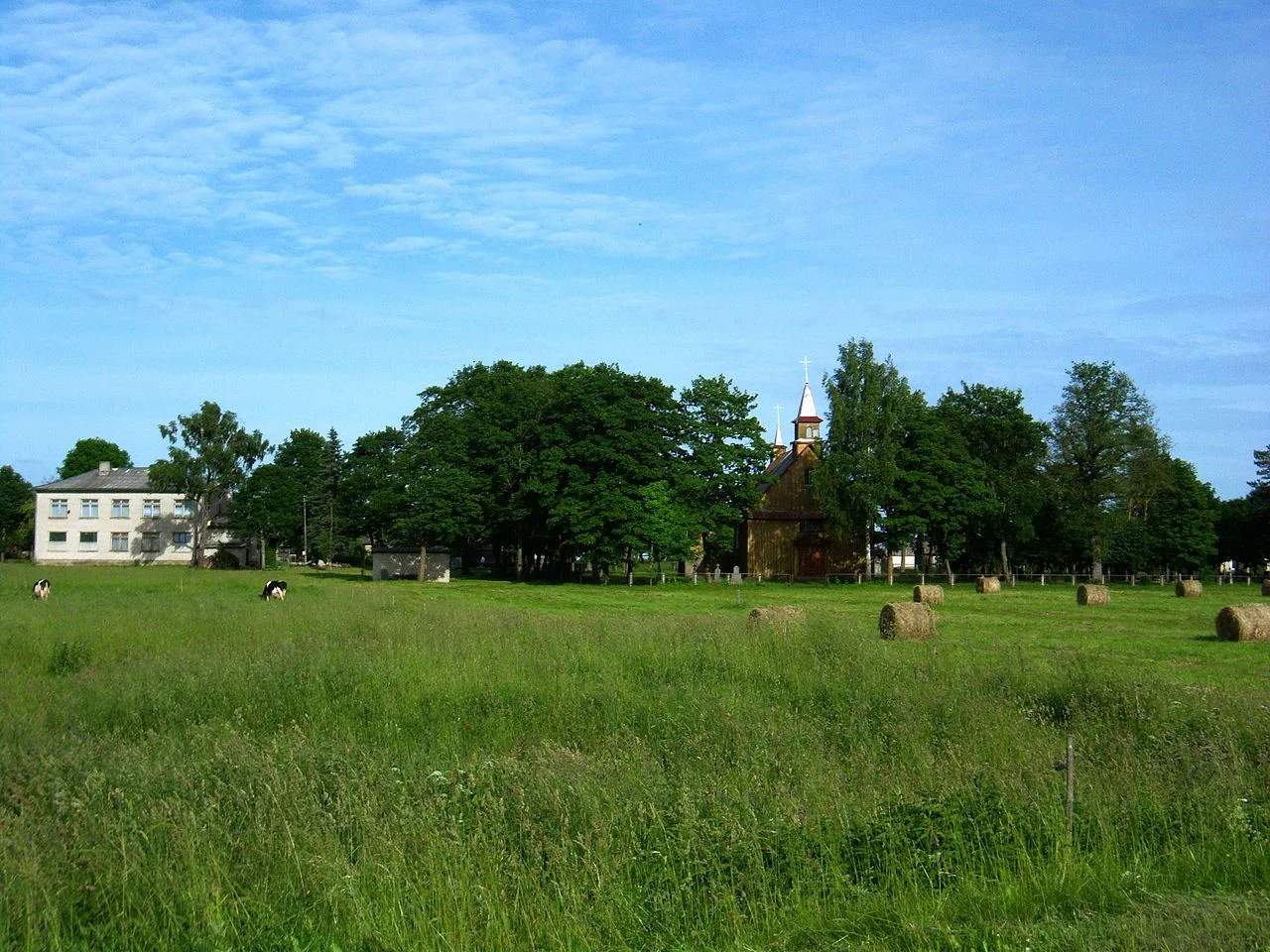
Gytariai
Gytariai is a large residential district in the west of Šiauliai, Lithuania, known for its quiet suburban atmosphere and proximity to urb…
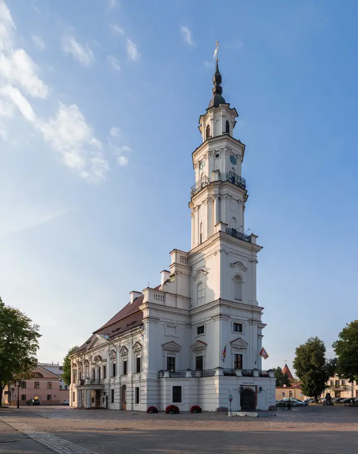
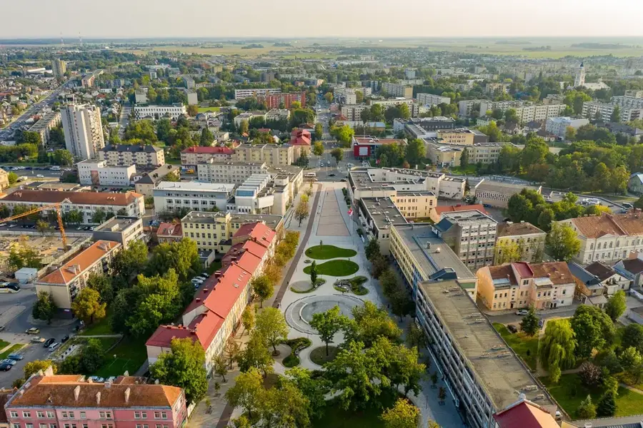
Šiauliai
Šiauliai is the fourth largest city in Lithuania and is known as the Sun City.
Panevėžys
Panevėžys is located on the banks of the Nevėžis river and is the fifth largest city in Lithuania.
Marijampolė
Marijampolė is the center of the Suvalkija region and is known for its industrial importance.
Jonava
Jonava is a city in central Lithuania known for its chemical industry.

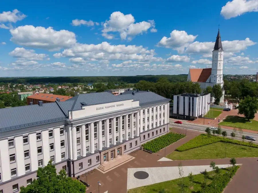
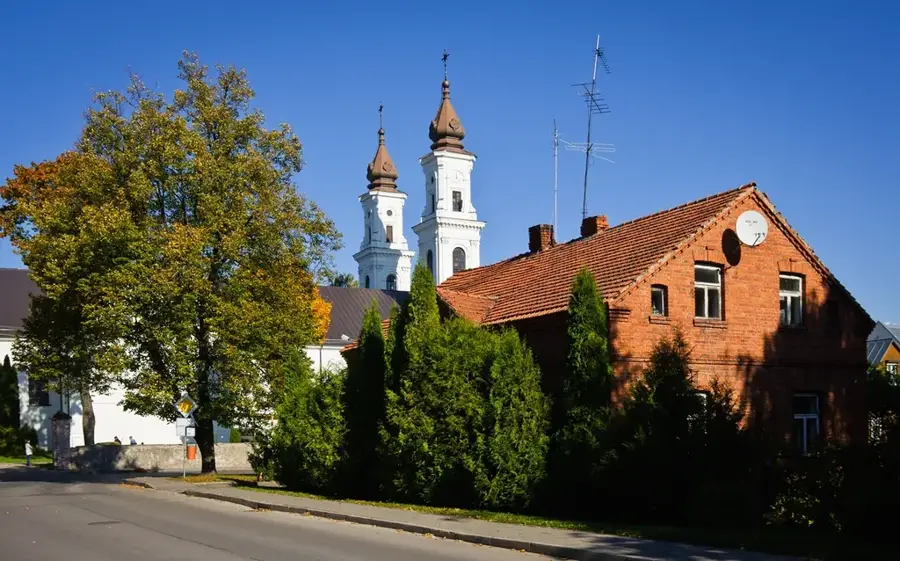
Kėdainiai
Kėdainiai is one of the oldest cities in Lithuania and possesses a well-preserved old town.

Kėdainiai Old Town
Kėdainiai was a major Reformation center in the 17th century.

Telšiai area
The area around Telšiai lies in the Samogitian hilly landscape.
Telšiai
Telšiai is the capital of the Samogitia region and is situated on seven hills by Lake Mastis.
Tauragė
Tauragė is an important industrial center in western Lithuania on the Jūra River.
Ukmergė area
The rural area around Ukmergė offers a varied landscape with many historical manors.
Ukmergė
Ukmergė is one of the oldest cities in Lithuania and is located on the Šventoji River.
Plungė area
Plungė is a town in the Samogitian region.
Plungė
Plungė is known for the magnificent Oginski Palace and its expansive park.
Radviliškis area
The area around Radviliškis is characterized by wide plains and a significant role in the Lithuanian railway network.