Plizio Visual Lab
Sand
ℹ️Practical info — Sand
▾
🌤 Weather — 5 days
📍 Nearby
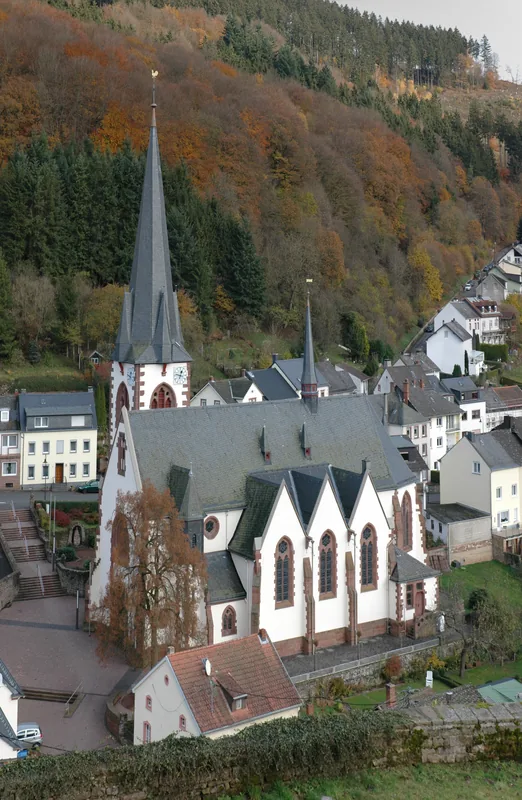
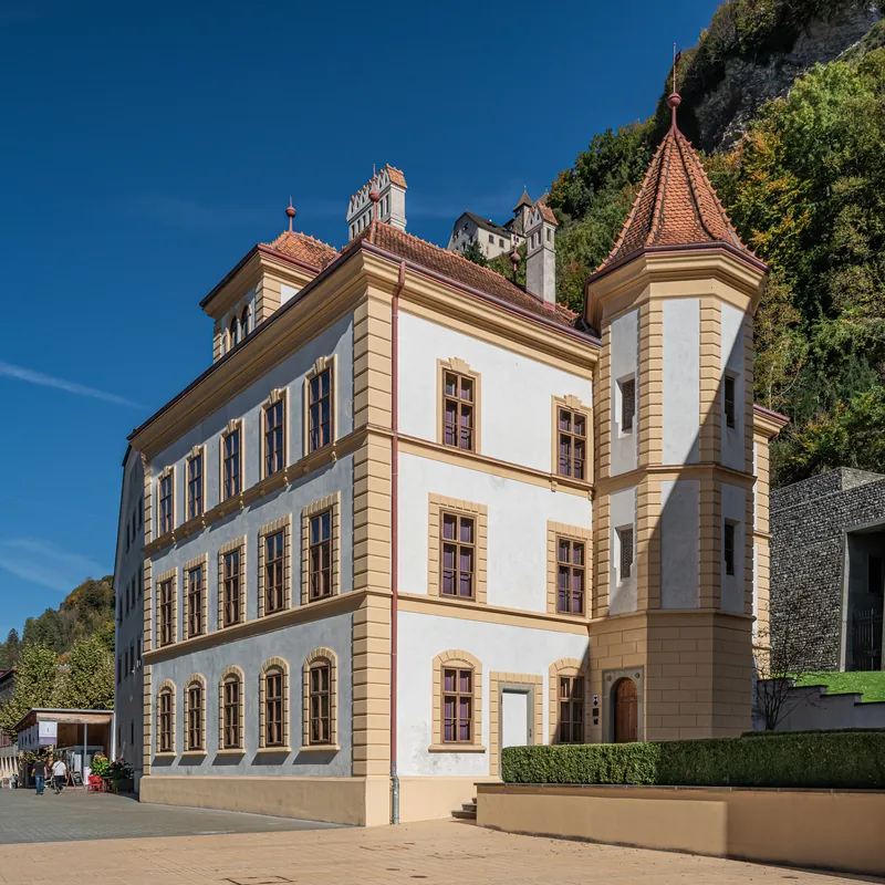
Sights nearby
💡 Tips
- This area is highly convenient for a quick pit stop if you are driving along the main route 28.
- Parking is generally free and right in front of the businesses, making errands easy.
- Best visited during standard business hours; the area is very quiet and mostly closed on Sundays.
- There are several gas stations here with well-stocked convenience stores for travel essentials.
🍽 Food
Grab a freshly made sandwich or pastry from a local bakery chain along the main road.
Stop for a quick, quality coffee at one of the roadside cafes or gas station bistros.
Look for simple eateries catering to local workers for a quick, reasonably priced midday meal.
🛍 Shopping · 🧘 Quiet spots
The gas station shops are well-suited for picking up snacks, drinks, and basics for your road trip.
Visit the nearby supermarket to stock up on Swiss and regional groceries.
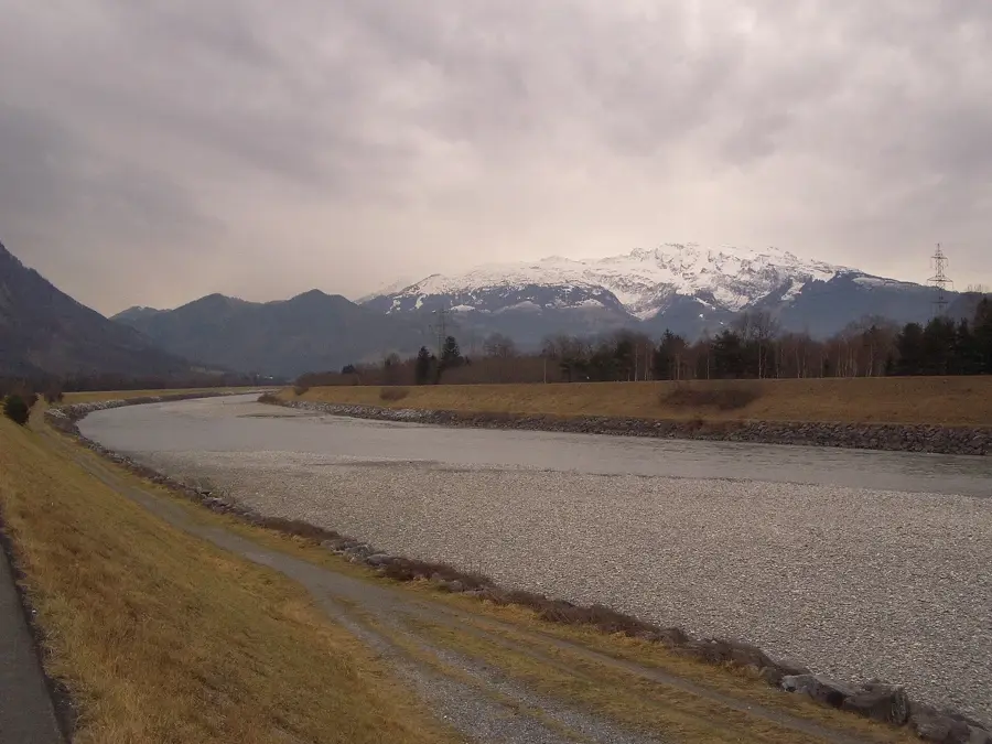
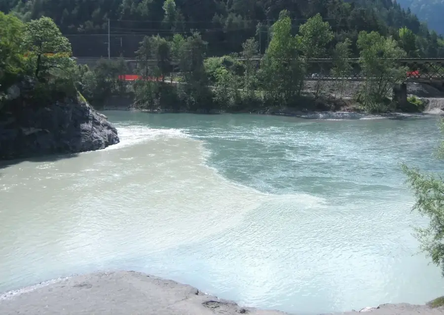
Walk a short distance west to find the flat, peaceful walking and cycling paths along the Rhine.
Take a short drive up the hill away from the commercial zone for a more traditional, quieter atmosphere.
Water temperature…
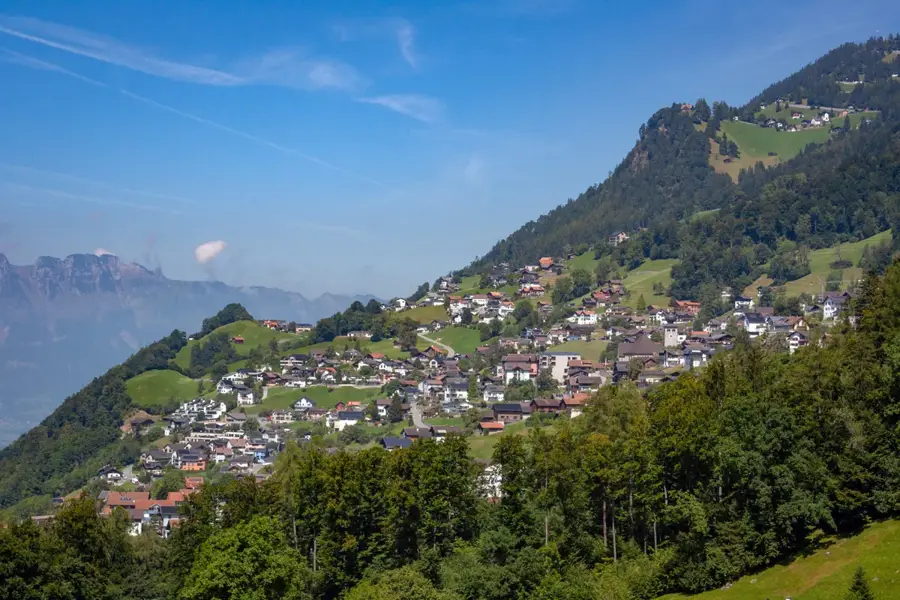
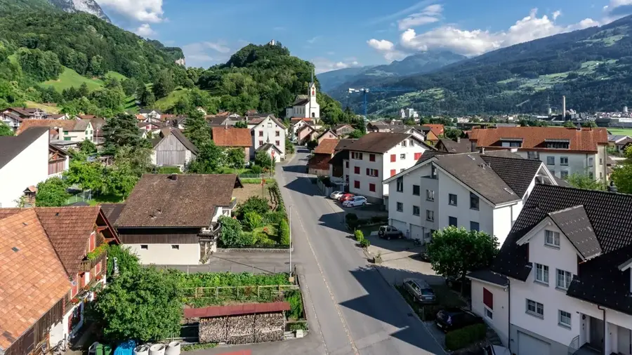
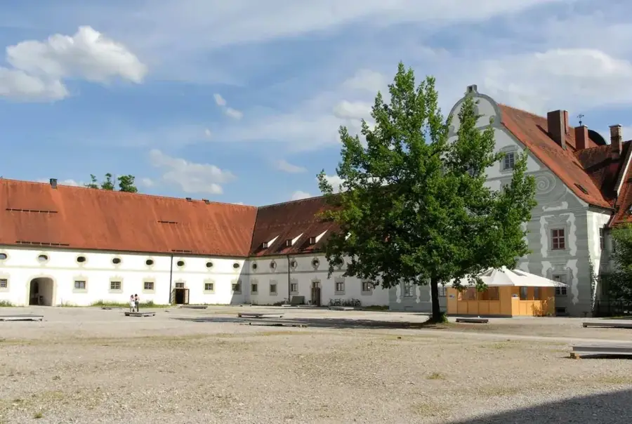
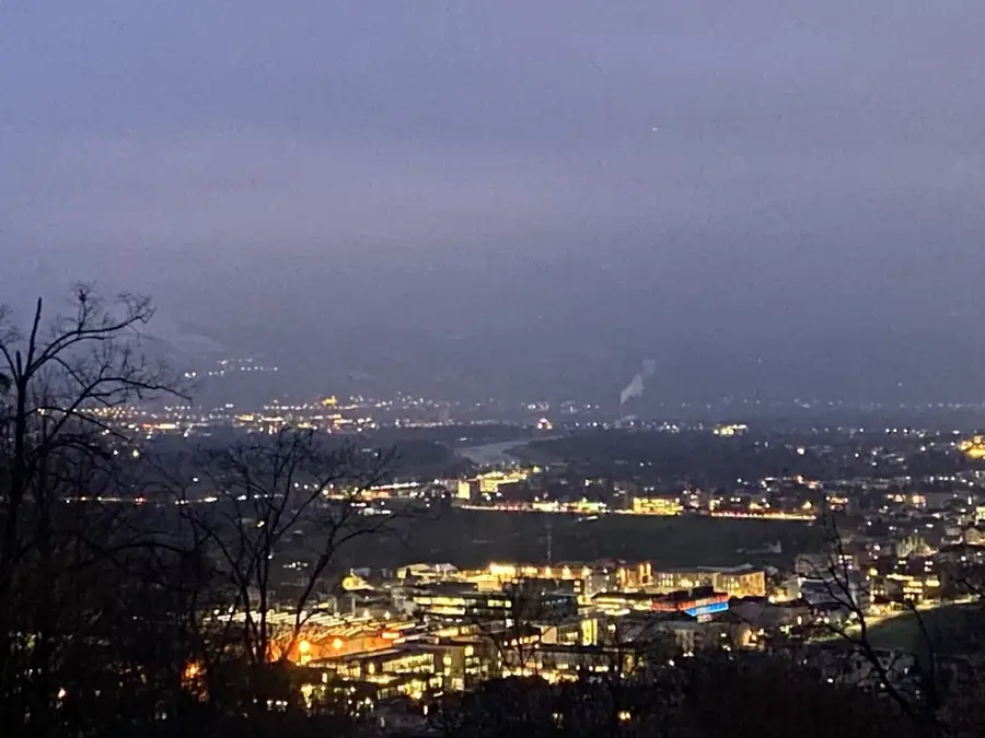
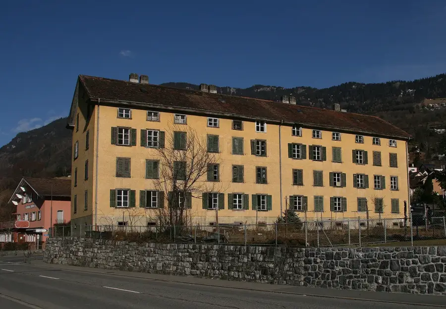
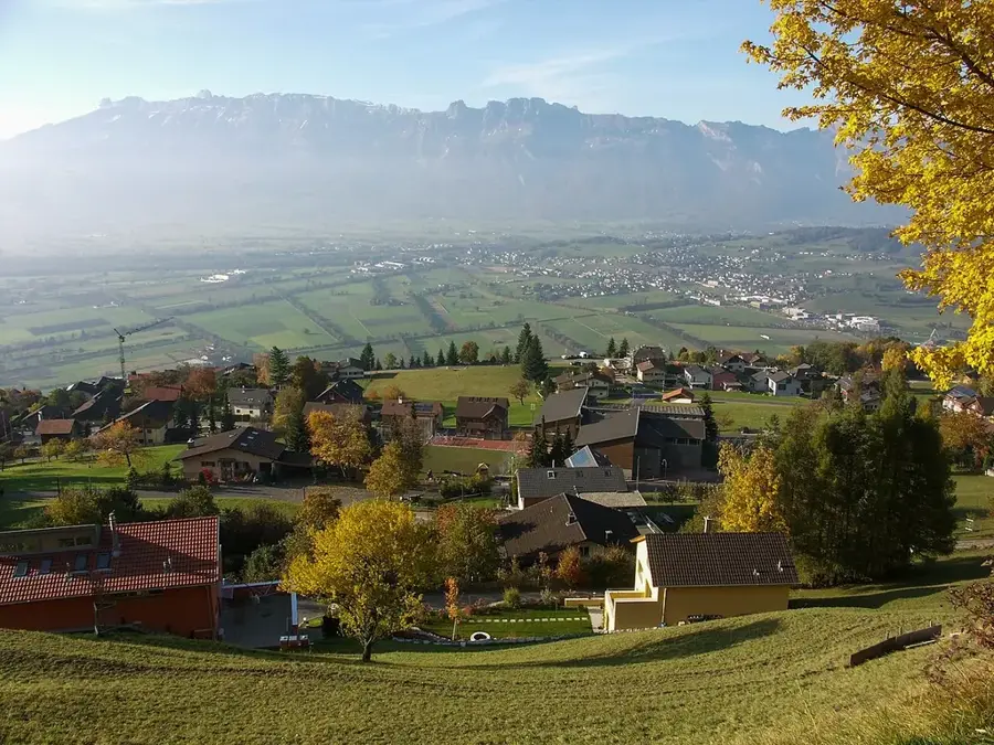
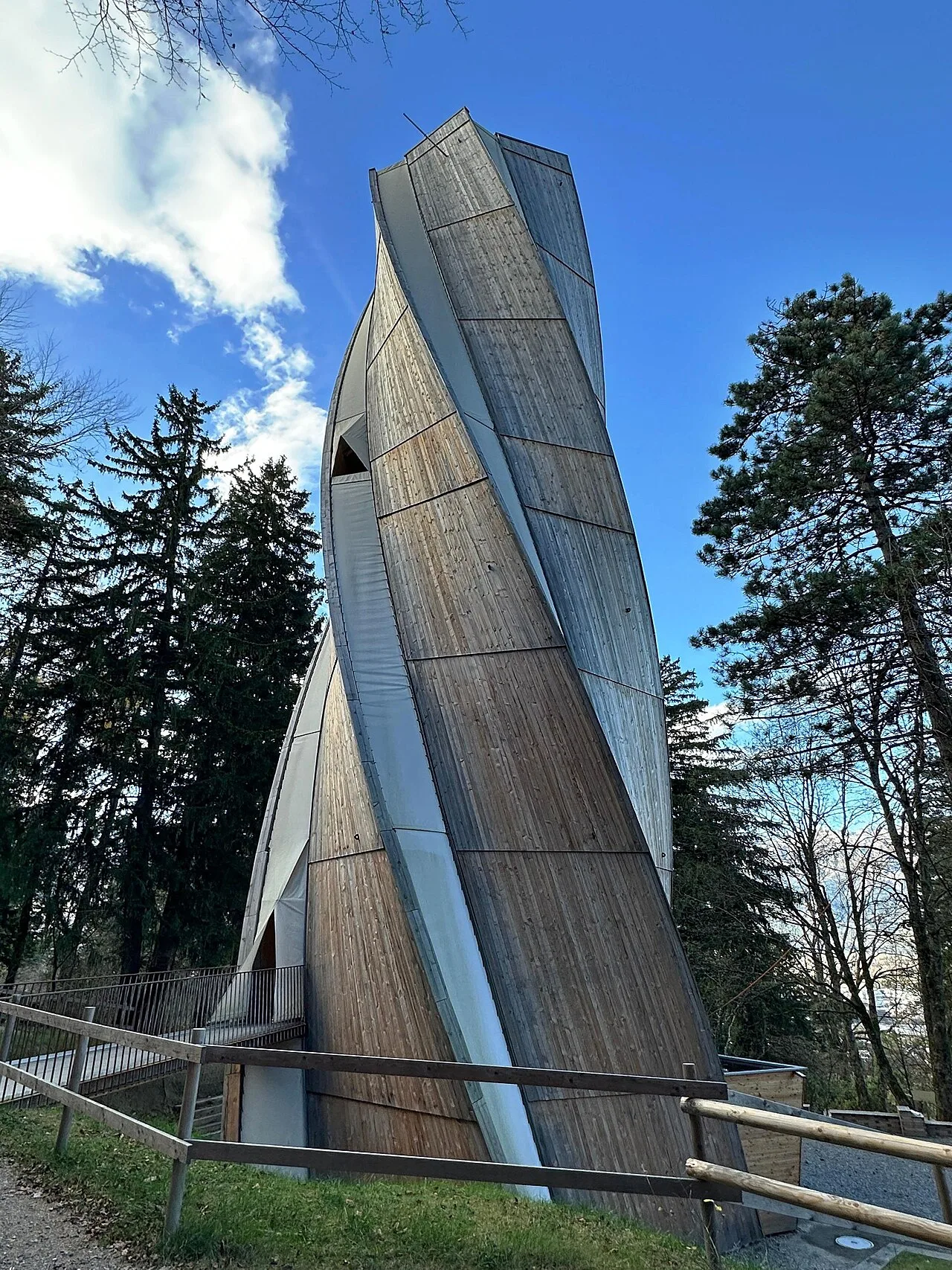
The Sand quarter in Triesen is inseparably linked to the industrial history of Liechtenstein. It was the site of the Jenny, Spoerry & Cie. textile factory, founded in 1863, which for over a century was the country's largest employer. The settlement of industry in this area relied on the hydropower of the village stream (Dorfbach), which was used to operate the weaving machines. The appearance of the neighborhood is still shaped today by the monumental brick factory buildings and the former workers' houses. After the cessation of textile production, the area was revitalized and now houses the Gasometer cultural center as well as various small businesses and apartments. Geographically, the Sand district lies on the northern edge of the old village center of Triesen on a terrace above the Rhine Valley. It is a prime example of the successful repurposing of industrial monuments, combining the memory of early industrialization with modern cultural life. The architecture of the factory complex is considered one of the most significant industrial monuments in the Alpine Rhine Valley.
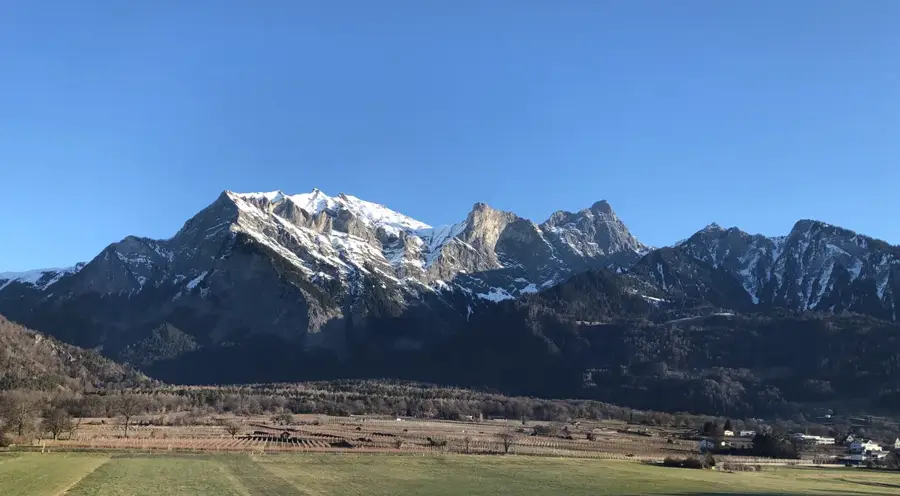
- Location: Triesen, Liechtenstein
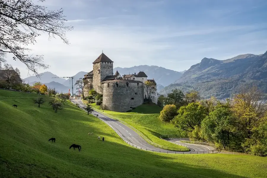
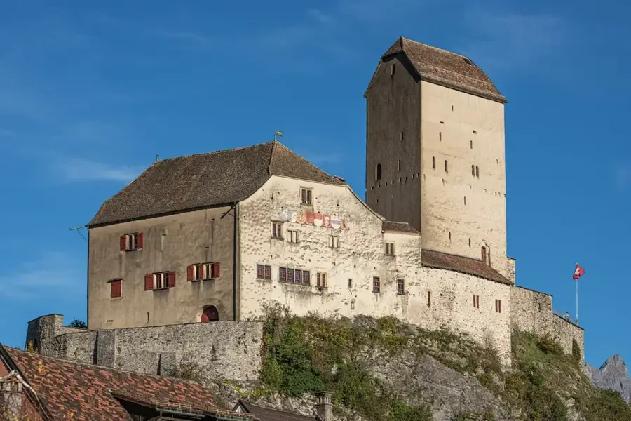
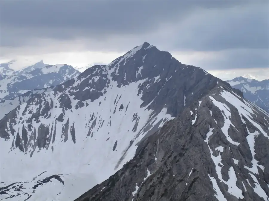
- Top sights: Burgruine Herrenberg · Artilleriewerk Magletsch · Brochne Burg
- Nearby: Silum (4 km)
- Population: ~5.230
Best time to visit & climate
The most pleasant time to visit is Jul–Sep.
| Jan | Feb | Mar | Apr | May | Jun | Jul | Aug | Sep | Oct | Nov | Dec | |
|---|---|---|---|---|---|---|---|---|---|---|---|---|
| Avg °C | -6 | -5 | -1 | 4 | 8 | 13 | 14 | 14 | 10 | 6 | 0 | -4 |
| Rain mm | 92 | 70 | 91 | 93 | 147 | 173 | 169 | 185 | 121 | 103 | 91 | 93 |
Geography
Facts
- The textile factory in Sand was founded in 1863 by Swiss investors.
- The striking Gasometer was formerly a storage tank for coal gas used for factory lighting.
- At its peak, the weaving mill produced millions of meters of fabric per year.
- Today, the site is known regionally as the Gasometer cultural center.
- Some of Liechtenstein's oldest worker settlements are located in Sand.
- The factory buildings were constructed from characteristic red brick.
Explore nearby
Notable places around
Route planner — Car & Motorhome
Where do you start? We build the route here, with stops and country notes along the way.
© OpenStreetMap contributors · OpenRouteService
Sights in the town Sand (6)
Frequently asked questions
Where does the name Sand come from?
Is it by the water?
Are there sports facilities?
Is it inhabited?
How is the terrain?
Sand: where is it located?
Sand: what is there to see?
Sand: when is the best time to visit?
Sand: why is it worth visiting?

Nearby cities


History & landmarks

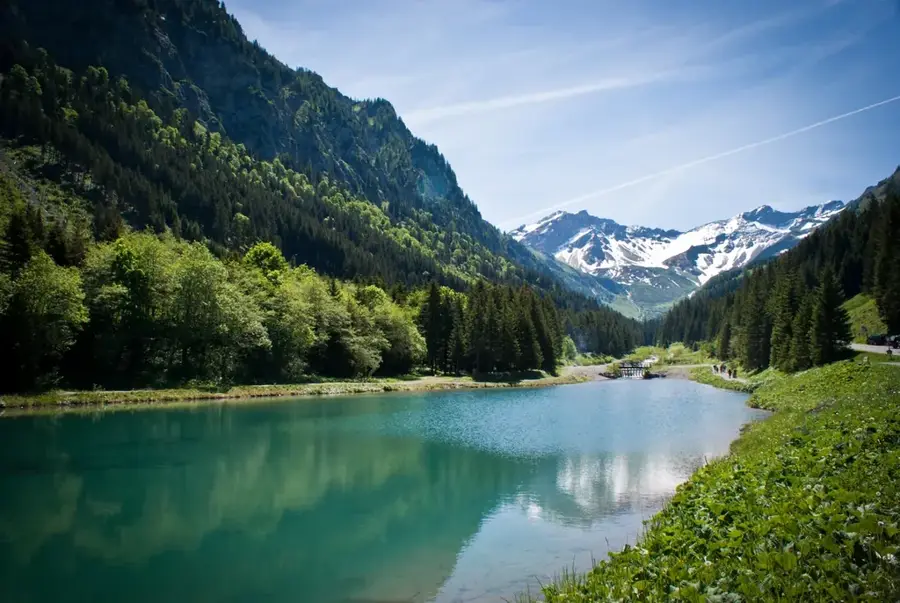

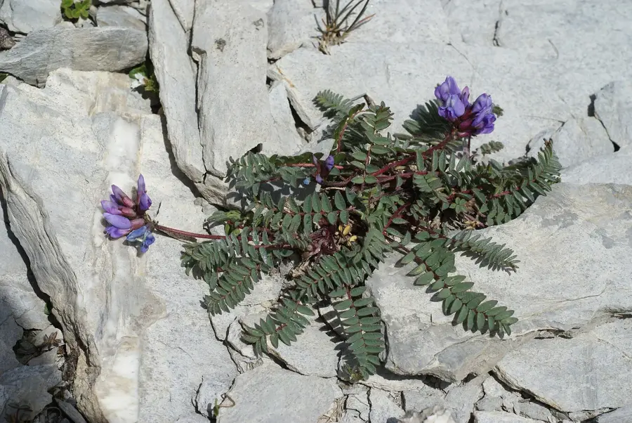
Nature
More places