Plizio Visual Lab
Ochsenkopf
Weather…
Water temperature…
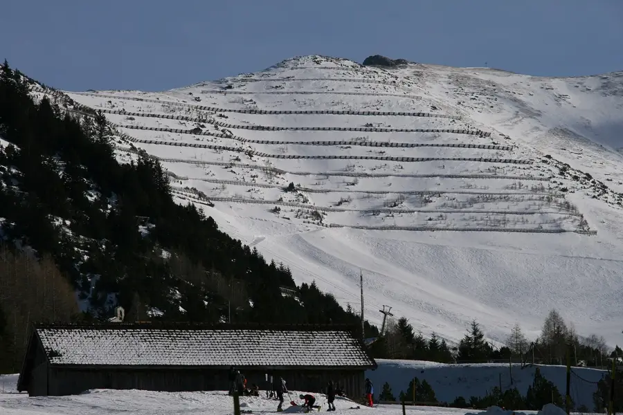
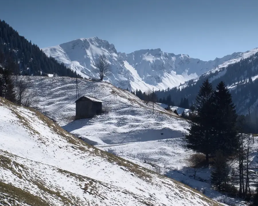
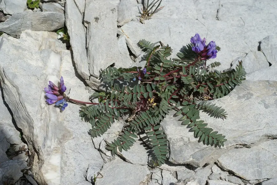
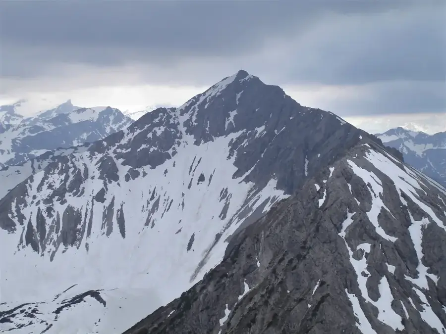
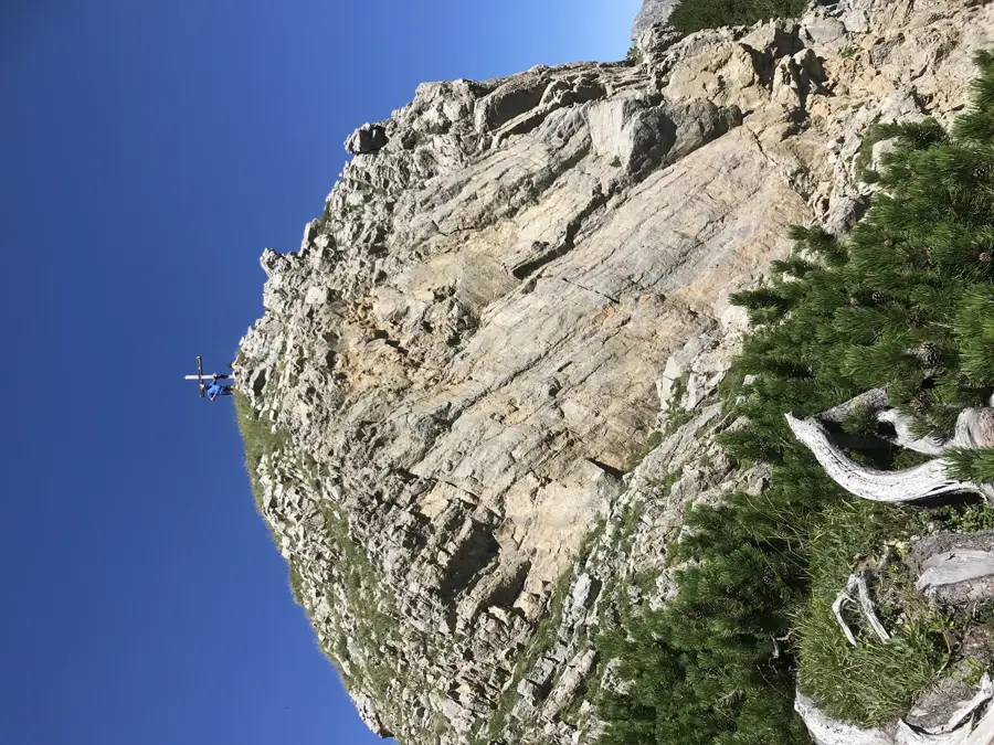
The Ochsenkopf is a prominent mountain peak in the Rätikon massif, reaching an elevation of 2,135 meters above sea level. It is situated on the border line between the Principality of Liechtenstein and the Austrian state of Vorarlberg, giving it strategic geographical importance. The mountain is characterized by rugged limestone cliffs and steep scree slopes, typical for this region of the Central Alps. Historically, the Ochsenkopf was part of important alpine crossings and hunting grounds for the local population. From its summit, an impressive panorama unfolds, extending from the Malbun Valley over the peaks of the Drei Schwestern far into the Swiss Alps. The flora on the Ochsenkopf includes specialized high-mountain plants such as alpine gentian and edelweiss, which have adapted to extreme weather conditions. For mountaineers, the summit is a rewarding destination requiring sure-footedness and alpine experience, with ascents usually starting from the Liechtenstein side in Malbun.
- Location: Liechtenstein
- Top sights: Naafkopf · Tschingel · Hinter Grauspitz
- Nearby: Sareis (5 km)
Best time to visit & climate
The most pleasant time to visit is Jul–Sep.
| Jan | Feb | Mar | Apr | May | Jun | Jul | Aug | Sep | Oct | Nov | Dec | |
|---|---|---|---|---|---|---|---|---|---|---|---|---|
| Avg °C | -6 | -5 | -1 | 4 | 8 | 13 | 14 | 14 | 10 | 6 | 0 | -4 |
| Rain mm | 92 | 70 | 91 | 93 | 147 | 173 | 169 | 185 | 121 | 103 | 91 | 93 |
📋 Practical info
Geography
Facts
- The peak height of the Ochsenkopf is exactly 2,135 meters.
- The mountain belongs to the Rätikon mountain group in the Eastern Alps.
- The Ochsenkopf is located in the southeastern part of Liechtenstein above Malbun.
- Geologically, the summit consists mainly of main dolomite and Wetterstein limestone.
- The national border between Liechtenstein and Austria runs exactly across the ridge.
- The name 'Ochsenkopf' (Ox Head) likely derives from the distinctive shape of the summit structure.
Explore nearby
Notable places around
Route planner — Car & Motorhome
Where do you start? We build the route here, with stops and country notes along the way.
© OpenStreetMap contributors · OpenRouteService
Sights in the town Ochsenkopf (5)
Hinter Grauspitz
A mountain peak in the Rätikon range.
Sights nearby
Frequently asked questions
How high is the Ochsenkopf?
Where does the hike start?
Is the trail difficult?
Is the mountain on the border?
When is the best time to hike?
Ochsenkopf: where is it located?
Ochsenkopf: what is there to see?
Ochsenkopf: when is the best time to visit?
Ochsenkopf: why is it worth visiting?

History & landmarks


Nature
More places