Plizio Visual Lab
Scheienkopf
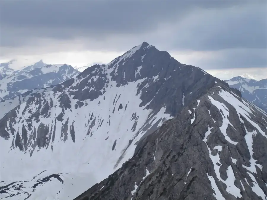
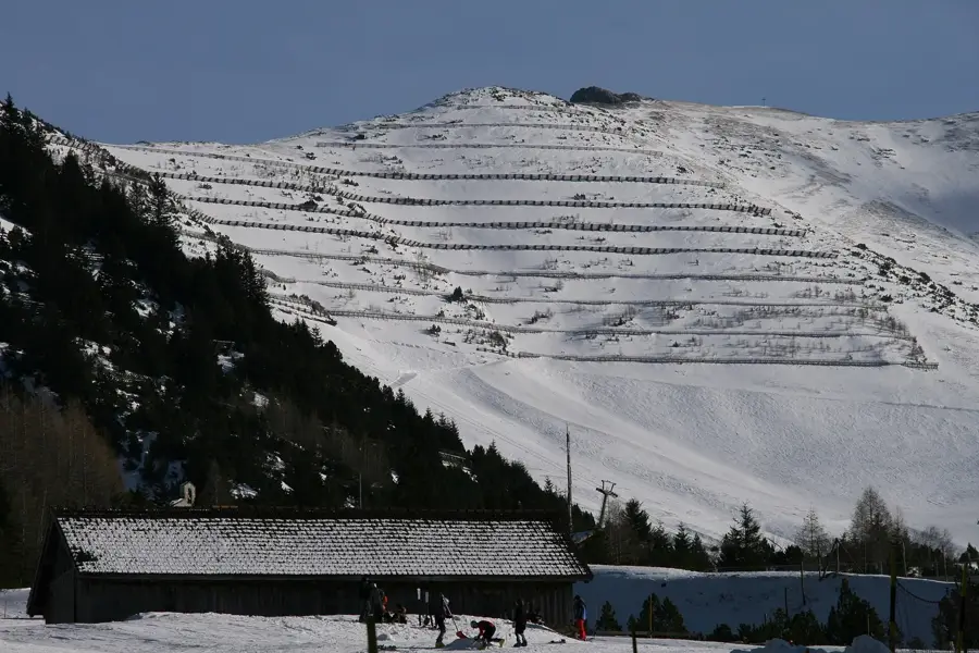
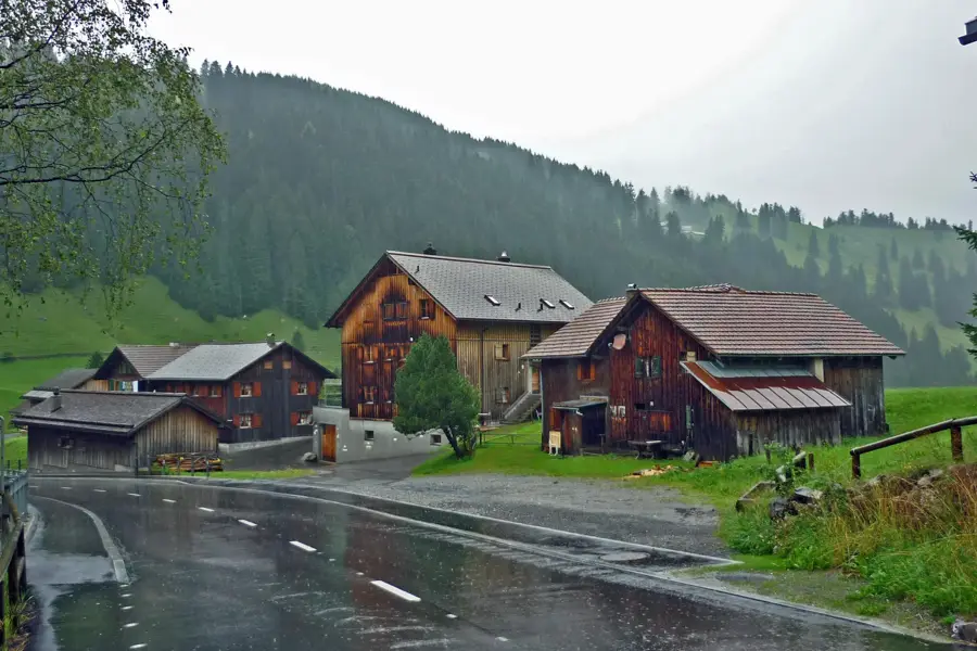
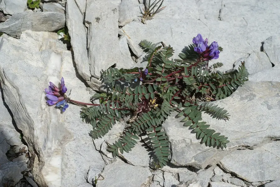
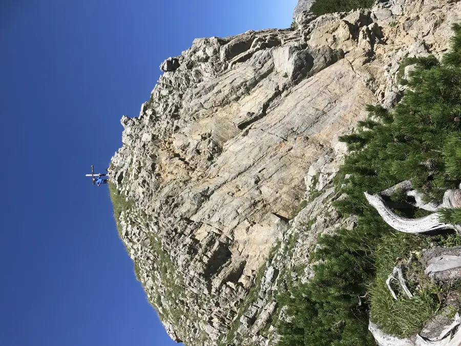
Standing at an elevation of 2,159 meters, the Scheienkopf is a prominent border mountain in the Rätikon massif, situated between Liechtenstein and Austria. It ranks among the higher elevations in the northeastern part of the country, offering spectacular views of the Galina Valley and the surrounding peaks of the Central Alps. The mountain's geography is characterized by steep grassy flanks on the western side and rugged rock walls to the east. Historically, the region around the Scheienkopf was significant for alpine farming, with surrounding alps like the Garselli Alp having been in use for centuries. The ascent to the summit is considered technically straightforward but requires good endurance due to the extensive hiking trails. The vegetation is typically alpine and hosts numerous rare plant species that flourish on the lime-rich soils. The Scheienkopf is a popular destination for hikers seeking solitude away from major tourist crowds and who appreciate the wild nature of the Liechtenstein Oberland.
- Location: Liechtenstein
- Top sights: Pflanzenschutzgebiet Nenzinger Himmel · Alpenmannstreu Gamperdonatal · Rochuskapelle
- Nearby: Saminatal (6 km)
Best time to visit & climate
The most pleasant time to visit is Jul–Sep.
| Jan | Feb | Mar | Apr | May | Jun | Jul | Aug | Sep | Oct | Nov | Dec | |
|---|---|---|---|---|---|---|---|---|---|---|---|---|
| Avg °C | -6 | -5 | -1 | 4 | 8 | 13 | 14 | 14 | 10 | 6 | 0 | -4 |
| Rain mm | 92 | 70 | 91 | 93 | 147 | 173 | 169 | 185 | 121 | 103 | 91 | 93 |
📋 Practical info
Geography
Facts
- The Scheienkopf reaches an official peak height of 2,159 meters.
- It forms the border between the Liechtenstein municipality of Balzers (exclave) and Austria.
- The mountain is located north of the more well-known Ochsenkopf in the Rätikon range.
- The Galina Glacier was formerly located in the cirques below the Scheienkopf.
- Hikes to the summit often start from Steger Kulm or from Malbun.
- Geologically, the Scheienkopf consists of rock layers from the Northern Limestone Alps.
Explore nearby
Notable places around
Route planner — Car & Motorhome
Where do you start? We build the route here, with stops and country notes along the way.
© OpenStreetMap contributors · OpenRouteService
Sights in the town Scheienkopf (6)
Gorfion
A mountain in the Rätikon on the border of Liechtenstein and Vorarlberg.
Strahleck
A mountain in the Rätikon range in Vorarlberg.
Sights nearby
Frequently asked questions
How high is the Scheienkopf?
Which mountain range is this part of?
Can you see wildlife?
Is the path to the summit marked?
How is the view?
Scheienkopf: where is it located?
Scheienkopf: what is there to see?
Scheienkopf: when is the best time to visit?
Scheienkopf: why is it worth visiting?

History & landmarks

Nature
More places