Plizio Visual Lab
Nospitz
Weather…
Water temperature…
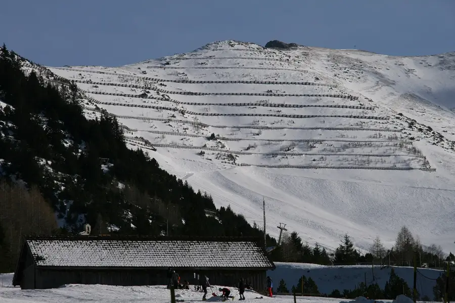
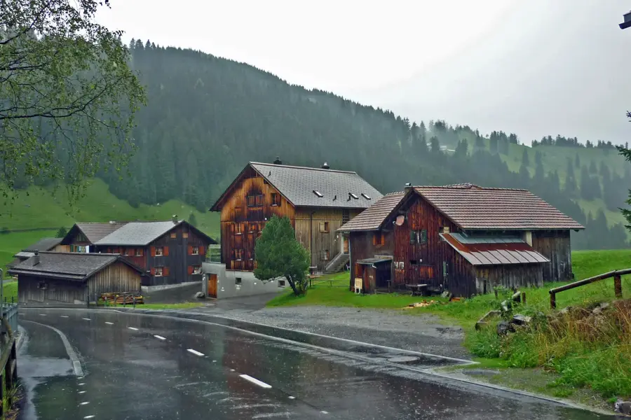
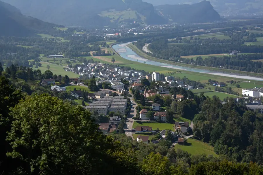
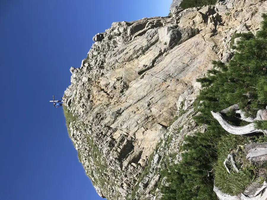
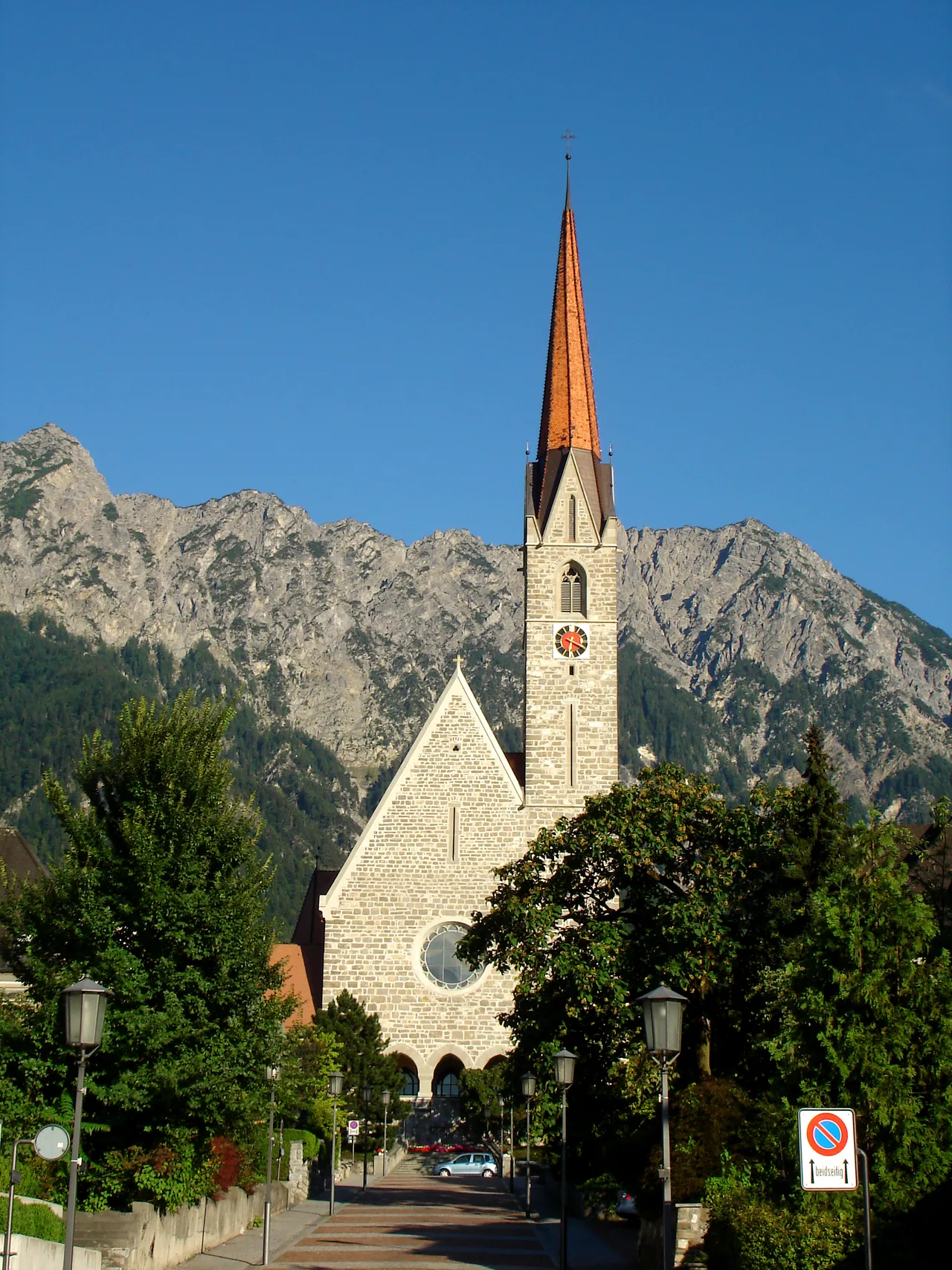
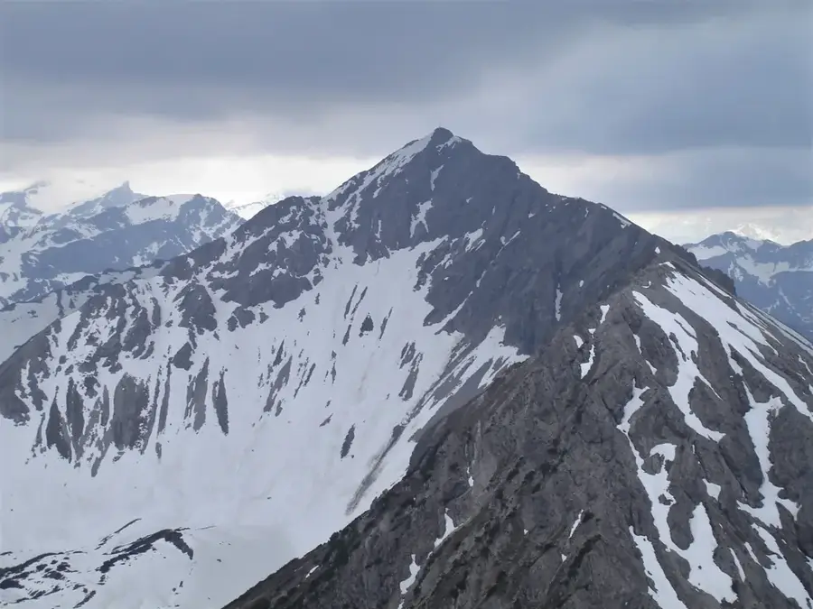
Nospitz is a prominent mountain peak in the Principality of Liechtenstein, reaching an elevation of 2091 meters above sea level. Geographically part of the Rätikon range within the Central Alps, it is situated in the southeastern portion of the country above the municipality of Triesenberg. The geological composition of the peak consists primarily of limestone and dolomite, which is characteristic of the rugged rock formations found throughout this alpine region. Hiking trails from the settlements of Steg or Malbun provide access to the area, offering expansive views over the Rhine Valley and the adjacent Swiss Alps. Historically, the region has been defined by alpine farming practices, with the surrounding slopes utilized for livestock grazing by local communities for centuries. Today, Nospitz serves as a significant destination for mountain tourism and remains a key landmark for hikers exploring the Liechtenstein alpine landscape.
- Location: Liechtenstein
- Top sights: Plasteikopf · Rappastein · Goldlochspitz
- Nearby: Steg (4 km)
Best time to visit & climate
The most pleasant time to visit is Jul–Sep.
| Jan | Feb | Mar | Apr | May | Jun | Jul | Aug | Sep | Oct | Nov | Dec | |
|---|---|---|---|---|---|---|---|---|---|---|---|---|
| Avg °C | -6 | -5 | -1 | 4 | 8 | 13 | 14 | 14 | 10 | 6 | 0 | -4 |
| Rain mm | 92 | 70 | 91 | 93 | 147 | 173 | 169 | 185 | 121 | 103 | 91 | 93 |
📋 Practical info
Geography
Facts
- The official elevation of the peak is 2091 meters above sea level.
- It is geologically classified as part of the Rätikon massif.
- The summit is located within the administrative borders of Triesenberg.
- The Rhine Valley and the Swiss Säntis massif are visible from the top.
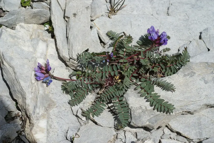
- The surrounding area features typical alpine flora like gentians.
- Primary hiking access is via trails from Steg or the Malbun resort.
Explore nearby
Notable places around
Route planner — Car & Motorhome
Where do you start? We build the route here, with stops and country notes along the way.
© OpenStreetMap contributors · OpenRouteService
Sights in the town Nospitz (3)
Goldlochspitz
A mountain peak in Liechtenstein.
Sights nearby
Frequently asked questions
How high is the Nospitz?
Is this a difficult climbing mountain?
In which valley is the mountain located?
Can you hike there in winter?
Are there huts nearby?
Nospitz: where is it located?
Nospitz: what is there to see?
Nospitz: when is the best time to visit?
Nospitz: why is it worth visiting?

History & landmarks

Nature
More places