Plizio Visual Lab
Planken Lake
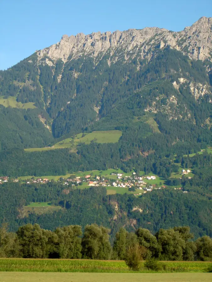
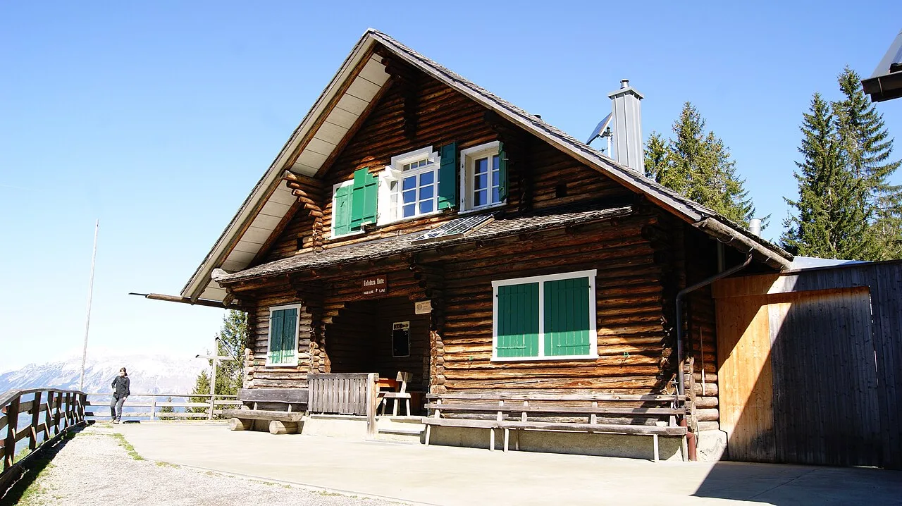
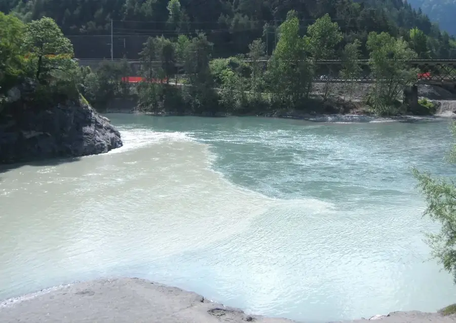
The area around Planken's water bodies and alpine landscape is located in one of the steepest and most pristine environments in the Principality of Liechtenstein, at the foot of the Drei Schwestern peaks. Geographically, Planken is the country's smallest municipality by population, situated on a natural terrace high above the Rhine Valley. Historically, the region was a sanctuary for Walser settlers who cultivated the extreme slopes in the 14th century. Since large standing bodies of water are rare in this karst landscape, small alpine ponds and spring outflows are of immense ecological importance for the local fauna. The surroundings are characterized by rugged limestone cliffs and alpine mountain forests, providing a stark contrast to the industrialized valley floor below. From here, one has a direct view of the Rätikon massif and the Swiss mountains opposite. The area is accessible only via steep serpentines, preserving its character as a secluded mountain enclave that attracts hikers seeking tranquility.
- Location: Liechtenstein
- Top sights: Sankt Josef · Naturschutzgebiet Schwabbrünnen/Äscher · Friedhofskapelle St. Johannes
- Nearby: Quadratscha (4 km)
Best time to visit & climate
The most pleasant time to visit is Jul–Sep.
| Jan | Feb | Mar | Apr | May | Jun | Jul | Aug | Sep | Oct | Nov | Dec | |
|---|---|---|---|---|---|---|---|---|---|---|---|---|
| Avg °C | -6 | -5 | -1 | 4 | 8 | 13 | 14 | 14 | 10 | 6 | 0 | -4 |
| Rain mm | 92 | 70 | 91 | 93 | 147 | 173 | 169 | 185 | 121 | 103 | 91 | 93 |
📋 Practical info
Geography
Facts
- Planken is situated at an elevation of approximately 786 meters above sea level.
- The municipality was first mentioned in a document in the year 1361.
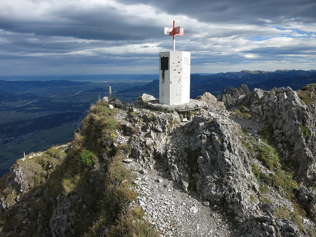
- A challenging hiking trail leads from the village to the Gafadura mountain hut.
- The Drei Schwestern peaks reach an altitude of 2053 meters.
- Planken has the smallest population of all Liechtenstein municipalities.
- Historically, the Walser people burned lime here in specialized kilns.
Explore nearby
Notable places around
Route planner — Car & Motorhome
Where do you start? We build the route here, with stops and country notes along the way.
© OpenStreetMap contributors · OpenRouteService
Sights in the town Planken Lake (9)
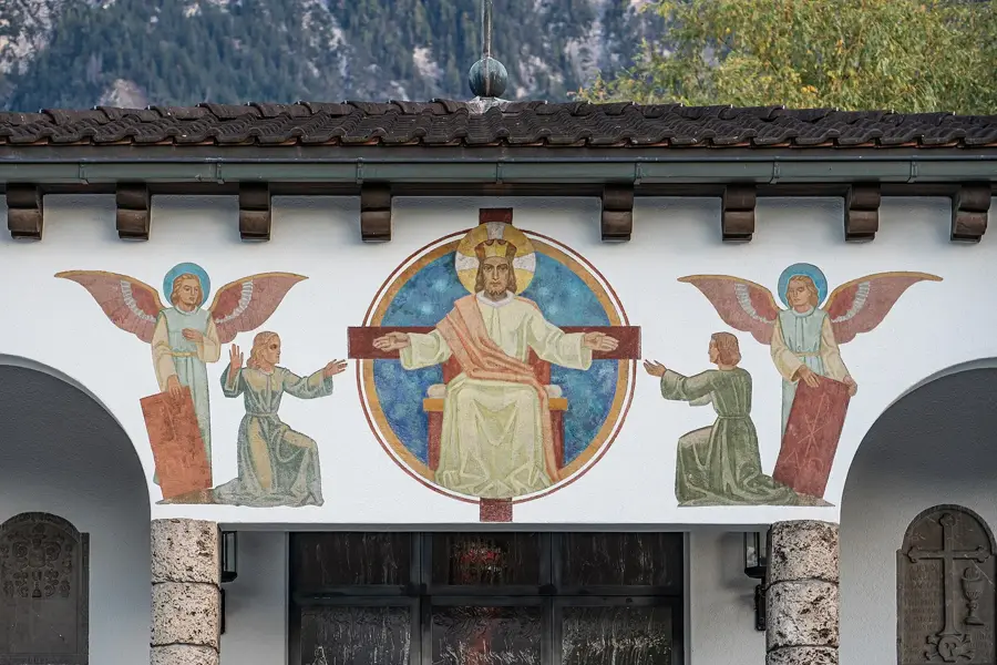
Friedhofskapelle St. Johannes
Mortuary chapel at the cemetery of the municipality of Schaan, Liechtenstein.
Römerstrasse
Archaeological site of an ancient Roman road in Liechtenstein.
TAK Theater Liechtenstein
Theater in Schaan, Liechtenstein, hosting cultural events.
St. Laurentiuskirche
Church in Liechtenstein, a place of worship.
Kuhgrat
Mountain peak in Liechtenstein, part of the Alpine landscape.
Gafleispitz
Mountain peak in Liechtenstein, popular with hikers.
domus - Gallery and Museum🏛 museum
Museum of cultural history in Liechtenstein, with exhibitions.
Sights nearby
Frequently asked questions
How large is the lake in Planken?
Can you fish in the lake?
Does a hiking trail pass directly by the water?
Are there BBQ facilities there?
Is the lake refreshing in summer?
Planken Lake: where is it located?
Planken Lake: what is there to see?
Planken Lake: when is the best time to visit?
Planken Lake: why is it worth visiting?

History & landmarks
Nature
More places