Plizio Visual Lab
Pfälzerhütte
ℹ️Practical info — Pfälzerhütte
▾
🌤 Weather — 5 days
📍 Nearby
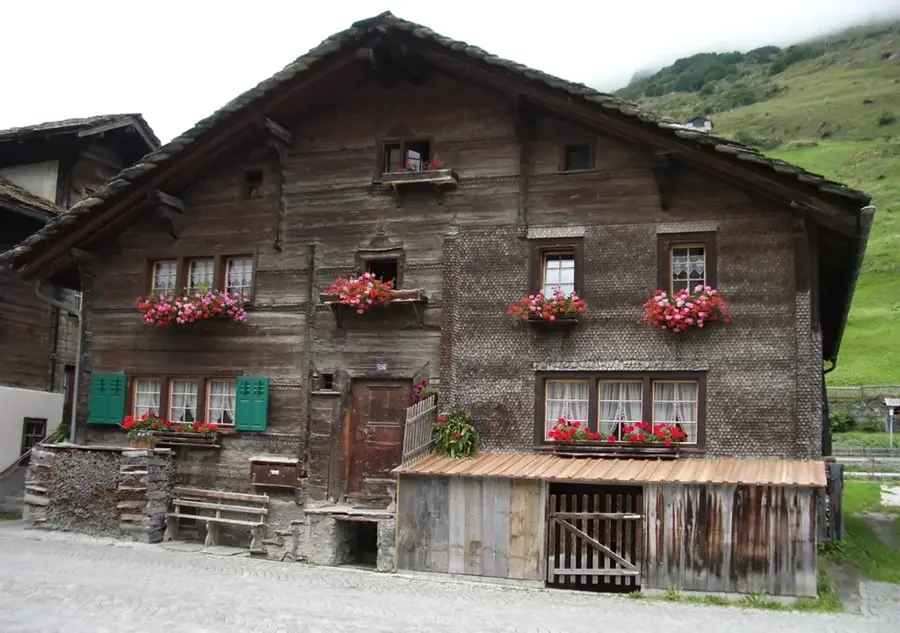
Sights nearby
💡 Tips
- The hike via the Fürstin-Gina-Weg takes about 2-3 hours and strictly requires sturdy mountain boots and good surefootedness.
- Book your sleeping spot well in advance if you plan to stay overnight, as it is a highly popular stop on multi-day alpine routes.
- Keep in mind the hut is typically open and serviced only from late June to mid-October, heavily depending on snow conditions.
- Bring enough cash for food and drinks; card payments can be unreliable or completely unavailable at this altitude.
🍽 Food
The ultimate hiker's fuel, freshly prepared in the hut's kitchen using hearty mountain potatoes.
The hut wardens often bake fresh fruit or nut cakes daily, which pair perfectly with a hot coffee.
A warming cup of herbal tea, occasionally spiked with a shot of local schnapps to beat the mountain chill.
🛍 Shopping · 🧘 Quiet spots
Available exclusively from the wardens as a wearable trophy to prove you made the climb to 2108m.
Buy a scenic postcard at the hut; don't forget to use the special hut stamp (Hüttenstempel) for your hiking log.
Sit by the physical stone marking the Liechtenstein-Austria border at sunset for spectacular lighting and absolute silence.
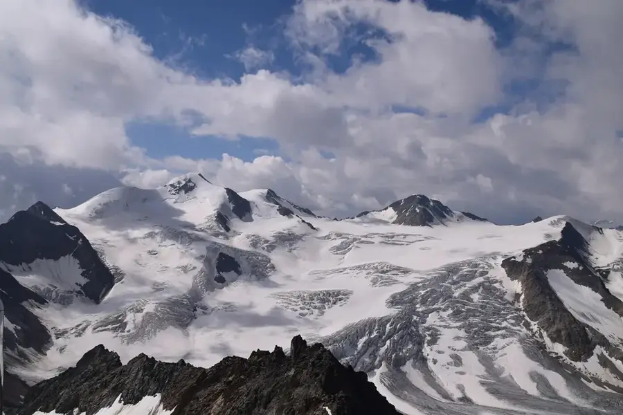
For absolute isolation, the demanding extra 1.5-hour climb from the hut to this three-country peak provides supreme quiet.
Water temperature…
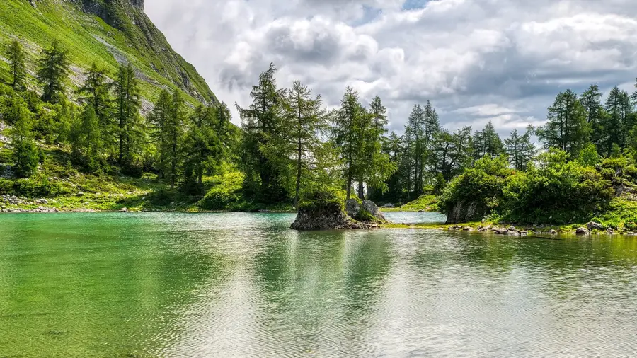
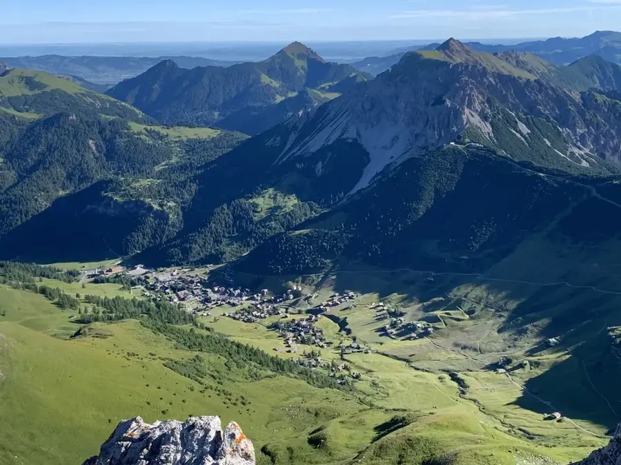
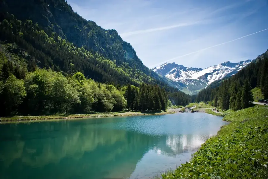
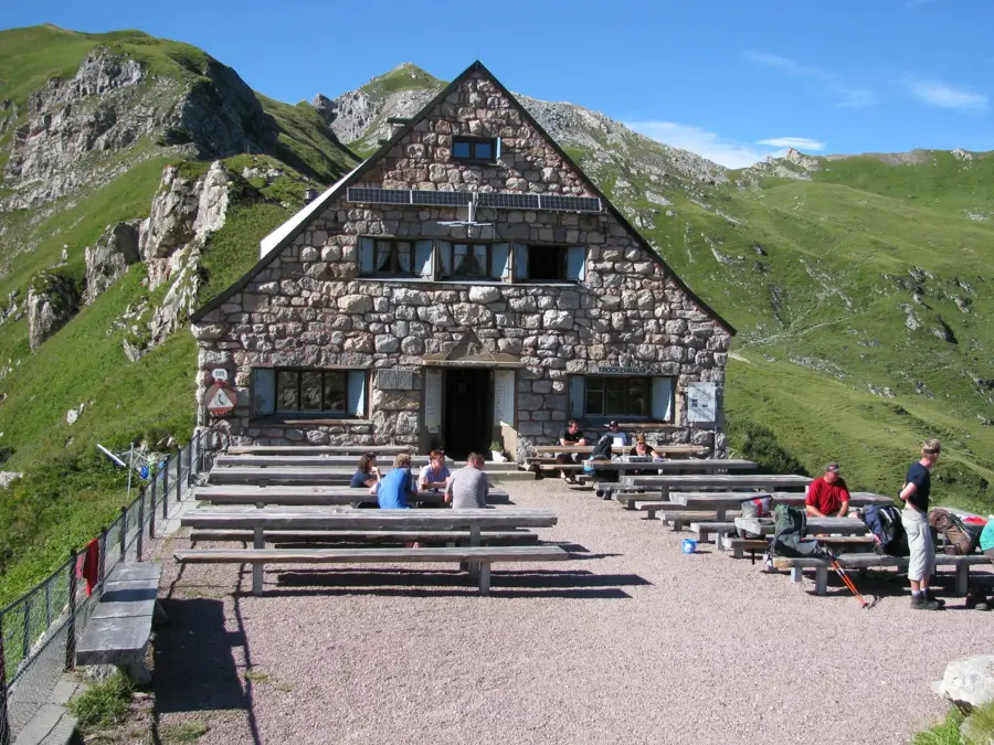
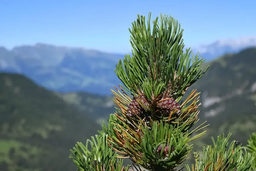
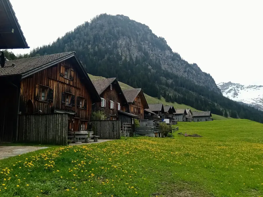
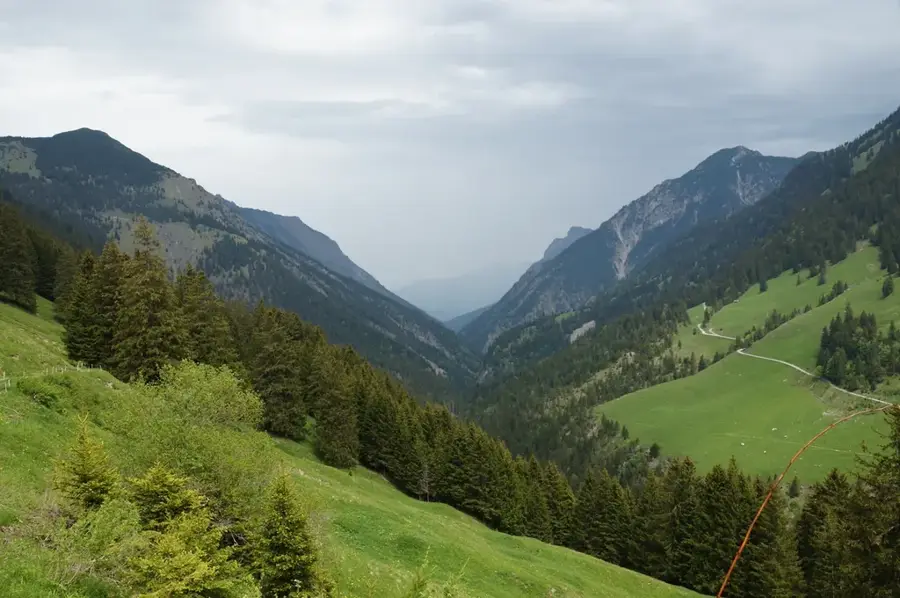
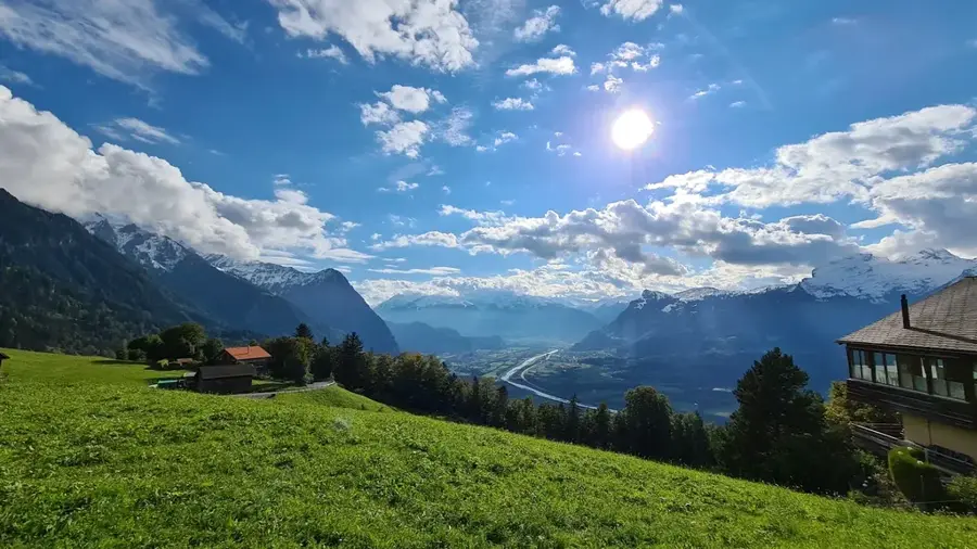
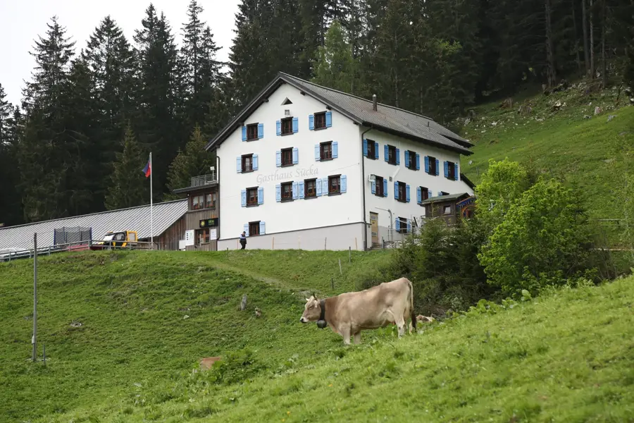
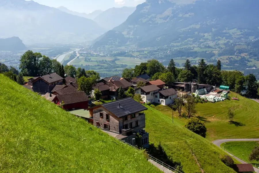
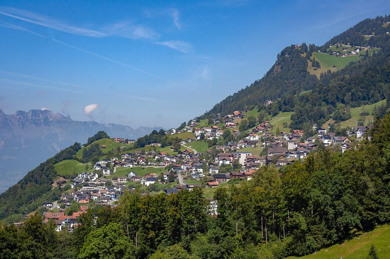
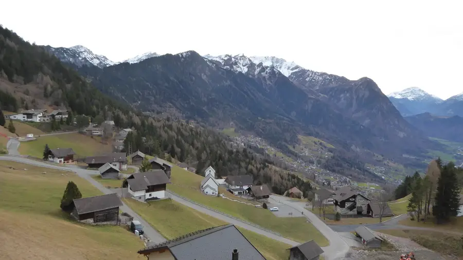
The Pfälzerhütte (2108 m) is perched on the Bettlerjoch at the head of the Naaf Valley, serving as a key hub for hikers in the Rätikon range. Operated by the Liechtenstein Alpine Club, it provides food and lodging during the summer months (typically mid-June to October). Its location is truly unique: the border with Austria runs right beside the hut, offering sweeping views into the Austrian Jes Valley and the surrounding peaks. Most hikers reach the hut from Malbun, choosing either the direct service road through the Valüna Valley or the panoramic ridge path from Sareis via the Augstenberg summit. The hut is also a significant stop on the 'Via Alpina' long-distance trail. Overnight guests enjoy the traditional alpine atmosphere in the dorms and the hearty communal meals in the cozy dining room. For seasoned hikers, the ascent of the Naafkopf (2570 m) is a highlight, reachable in about 1.5 hours from the hut. Its summit marks the tripoint where Liechtenstein, Austria, and Switzerland meet. The surrounding slopes are home to alpine flowers like gentians and edelweiss, as well as wildlife such as marmots and ibex. Food at the hut is simple and authentic, featuring stews, rösti, and homemade cakes. Accessible only on foot, the Pfälzerhütte has a genuine escape into the high mountains. Given its popularity among mountaineers, booking a bed in advance is highly recommended for anyone planning an overnight stay.
- Location: Triesenberg, Liechtenstein
- Top sights: Naafkopf · Pflanzenschutzgebiet Nenzinger Himmel · Hornspitze
- Nearby: Steg (5 km)
- Population: ~5.230
Best time to visit & climate
The most pleasant time to visit is Jul–Sep.
| Jan | Feb | Mar | Apr | May | Jun | Jul | Aug | Sep | Oct | Nov | Dec | |
|---|---|---|---|---|---|---|---|---|---|---|---|---|
| Avg °C | -6 | -5 | -1 | 4 | 8 | 13 | 14 | 14 | 10 | 6 | 0 | -4 |
| Rain mm | 92 | 70 | 91 | 93 | 147 | 173 | 169 | 185 | 121 | 103 | 91 | 93 |
Geography
Facts
- 2108m elevation
- On the Austrian border
- LAV operated hut
- Accessible only on foot
- Via Alpina stop
- Near Naafkopf summit
- Open June to October
- Tripoint nearby
Explore nearby
Notable places around
Route planner — Car & Motorhome
Where do you start? We build the route here, with stops and country notes along the way.
© OpenStreetMap contributors · OpenRouteService
Sights in the town Pfälzerhütte (3)
Frequently asked questions
How difficult is the hike to Pfälzerhütte?
Can you stay overnight at the hut?
When is Pfälzerhütte open?
Is food available there?
Is the hut right on the border?
Pfälzerhütte: where is it located?
Pfälzerhütte: what is there to see?
Pfälzerhütte: when is the best time to visit?
Pfälzerhütte: why is it worth visiting?

Nearby cities
History & landmarks