Plizio Visual Lab
Ha Moitsupeli

ℹ️Practical info — Ha Moitsupeli
▾
🌤 Weather — 5 days
📍 Nearby
Sights nearby
💡 Tips
- Transport is mostly on foot or by local minibus taxis; roads can be rough.
- Respect local customs; greet elders with respect.
- Dress in layers as mountain weather changes quickly.
- Carry cash (South African Rand or Loti) as cards are rarely accepted.
🍽 Food
Try this staple of maize porridge and leafy greens at local homestays or village eateries.
Locally brewed beer, try it in traditional village settings if offered.
Simple but delicious, often available at small roadside stalls in the village.
🛍 Shopping · 🧘 Quiet spots
Look for traditional woven hats directly from local weavers.
Handcrafted items from local artisans make great souvenirs.
Go for a peaceful hike to enjoy the raw beauty of the landscape.
First-rate for observing traditional herding and village life quietly.
Water temperature…
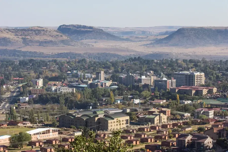
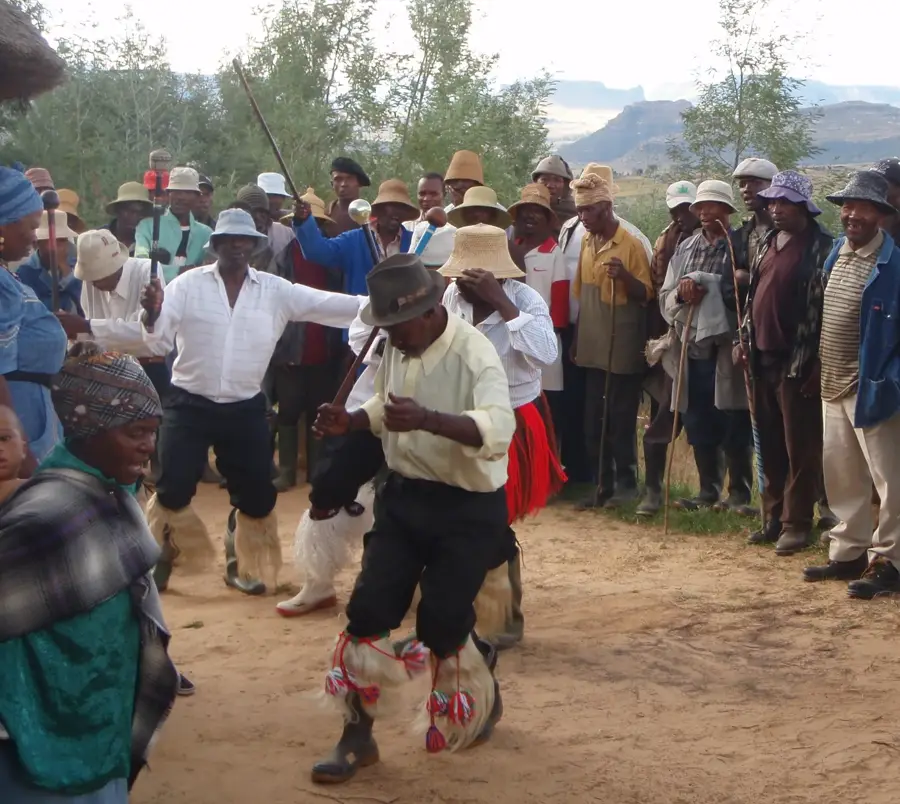
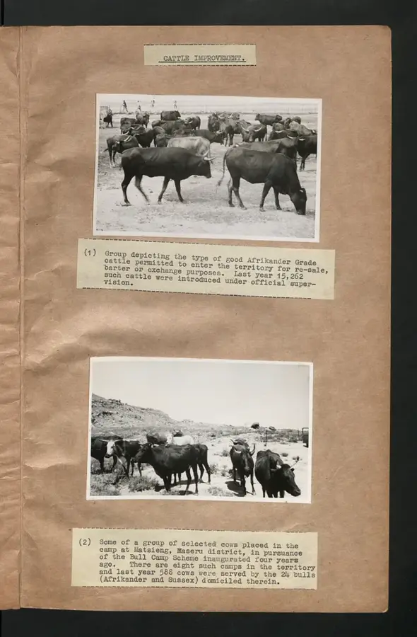
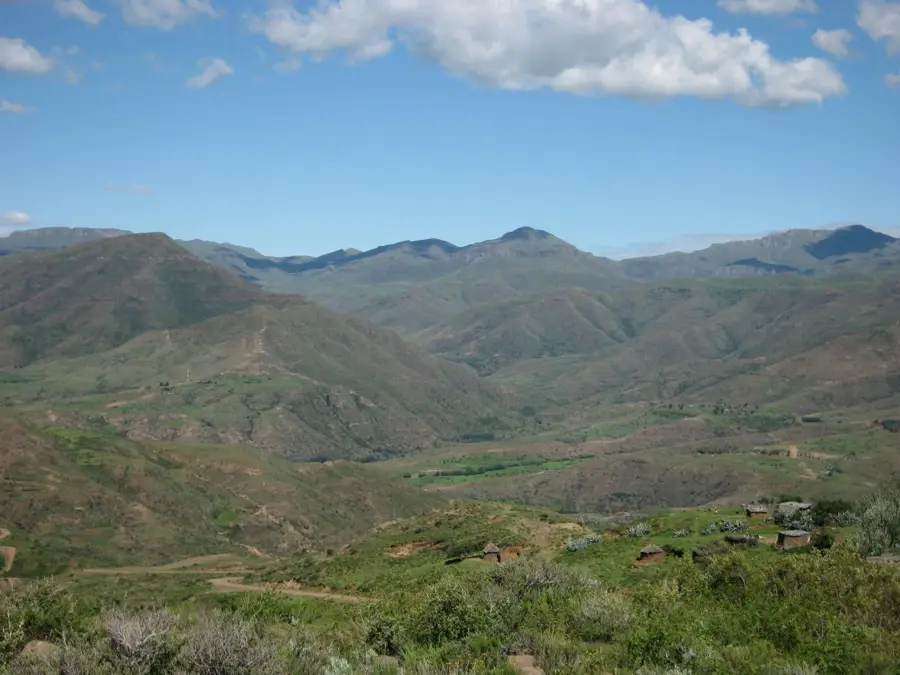
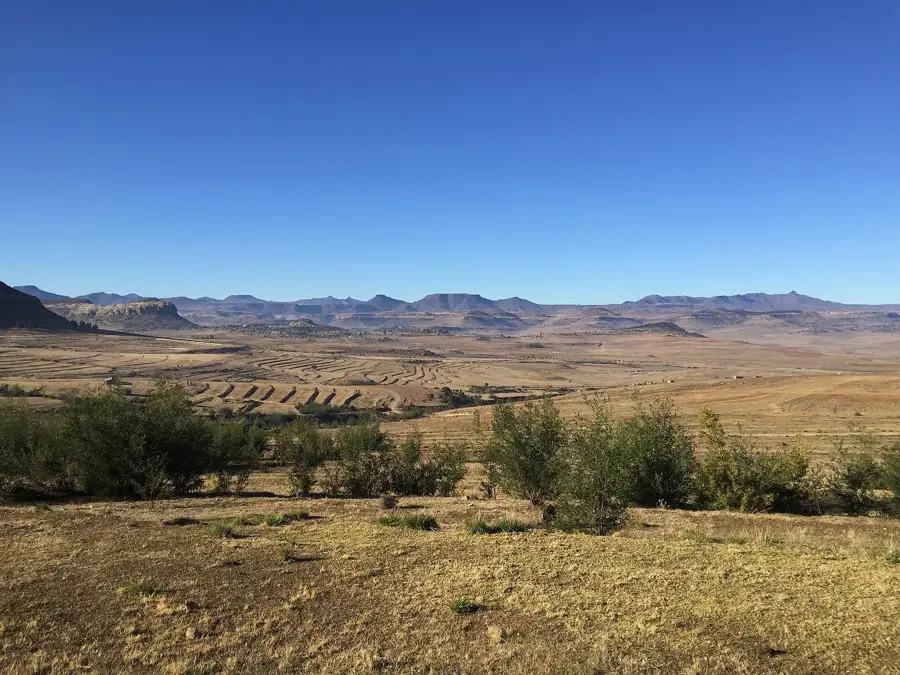
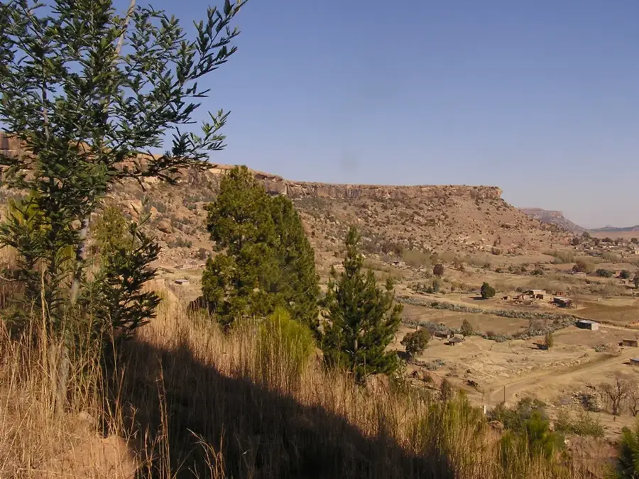
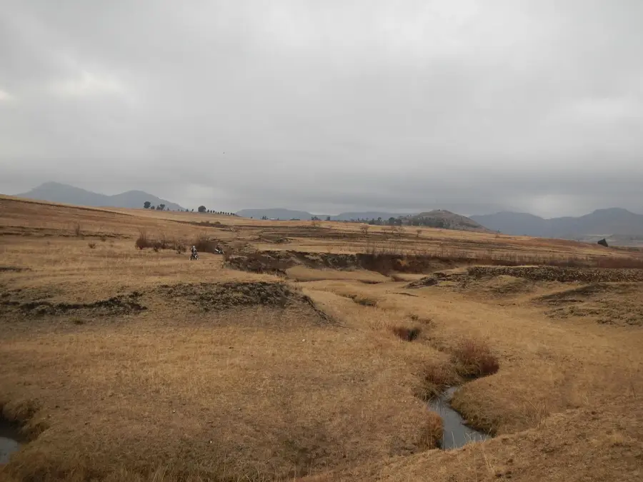
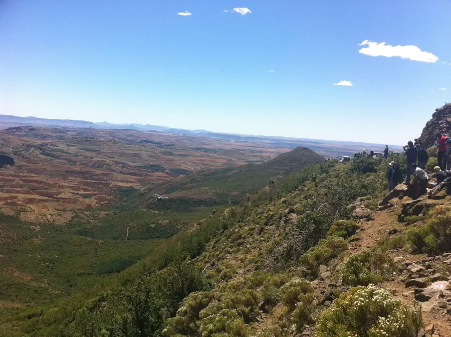
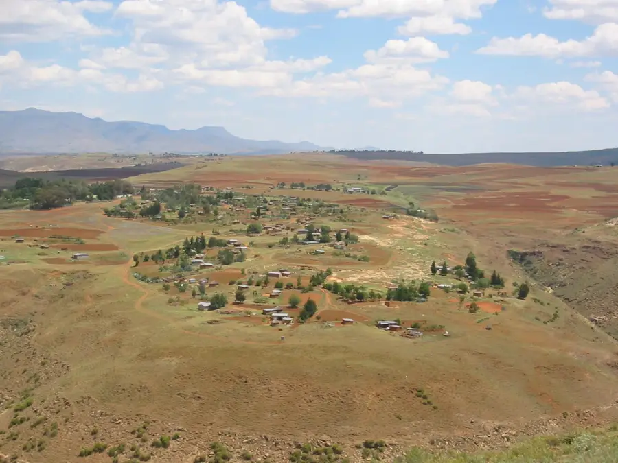
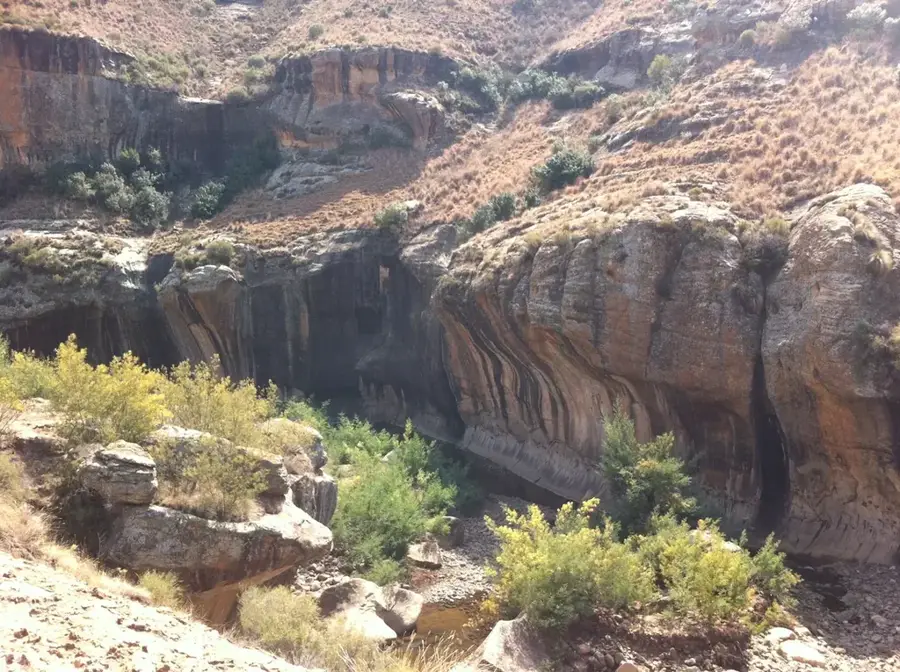
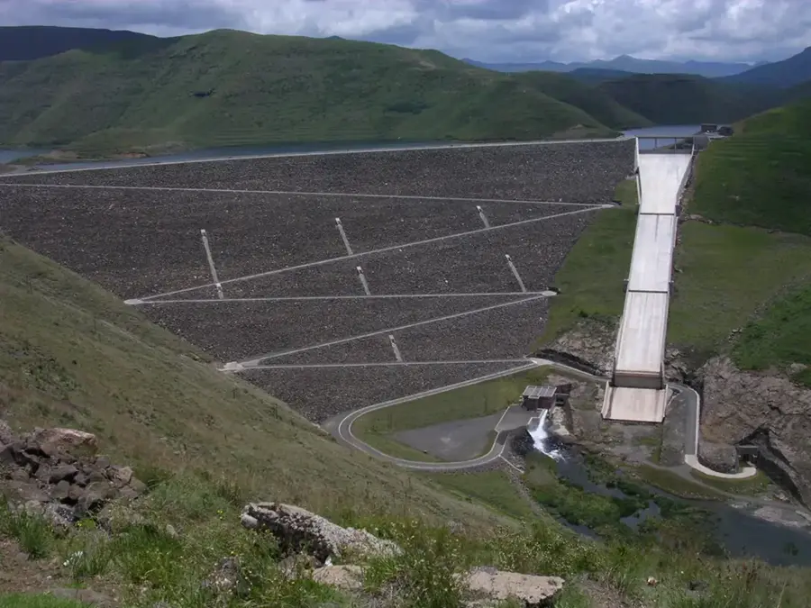
Ha Moitsupeli is a rural settlement in the Maseru District, tucked away in the scenic foothills of the Maloti Mountains. The village serves as a classic example of a Basotho highland community, where traditional social structures and lifestyles are meticulously preserved to this day. The local economy relies almost entirely on subsistence farming, specifically the cultivation of maize, beans, and sorghum, alongside the rearing of cattle and sheep. Geographically, the area is characterized by deep river valleys and spirited sandstone plateaus that give the landscape its unique visual character. Ha Moitsupeli also functions as a local educational hub for the surrounding scattered hamlets. Despite its relative remoteness, the village is linked by gravel roads to larger commercial centers in the region. The tranquility and untouched nature make the area a lesser-known spot for hikers seeking to experience authentic rural Lesotho. The hospitality of the residents and traditional Basotho pony treks are defining features of the locality.
- Location: Lesotho
- Nearby: Matsieng (8 km)
Best time to visit & climate
The most pleasant time to visit is Jan, Feb, Dec.
| Jan | Feb | Mar | Apr | May | Jun | Jul | Aug | Sep | Oct | Nov | Dec | |
|---|---|---|---|---|---|---|---|---|---|---|---|---|
| Avg °C | 21 | 20 | 18 | 14 | 11 | 7 | 7 | 9 | 14 | 17 | 18 | 20 |
| Rain mm | 102 | 92 | 74 | 63 | 22 | 21 | 8 | 22 | 19 | 61 | 84 | 103 |
Geography
Facts
- Located in the Maseru District near the Maloti Mountains
- Primary source of income is subsistence-based agriculture
- Village is known for its traditional circular hut architecture
- Surrounding area offers spectacular views of sandstone plateaus
- Serves as an important site for regional primary education
- Climate features warm daytime temperatures and cool nights
Explore nearby
Notable places around
Route planner — Car & Motorhome
Where do you start? We build the route here, with stops and country notes along the way.
© OpenStreetMap contributors · OpenRouteService
Frequently asked questions
Where is Ha Moitsupeli located?
What is typical for village life there?
Can tourists stay overnight there?
What is the access like?
What can you see in the area?
Ha Moitsupeli: where is it located?
Ha Moitsupeli: when is the best time to visit?
Ha Moitsupeli: why is it worth visiting?

Nearby cities