Plizio Visual Lab
Mokhotlong River
Weather…
Water temperature…
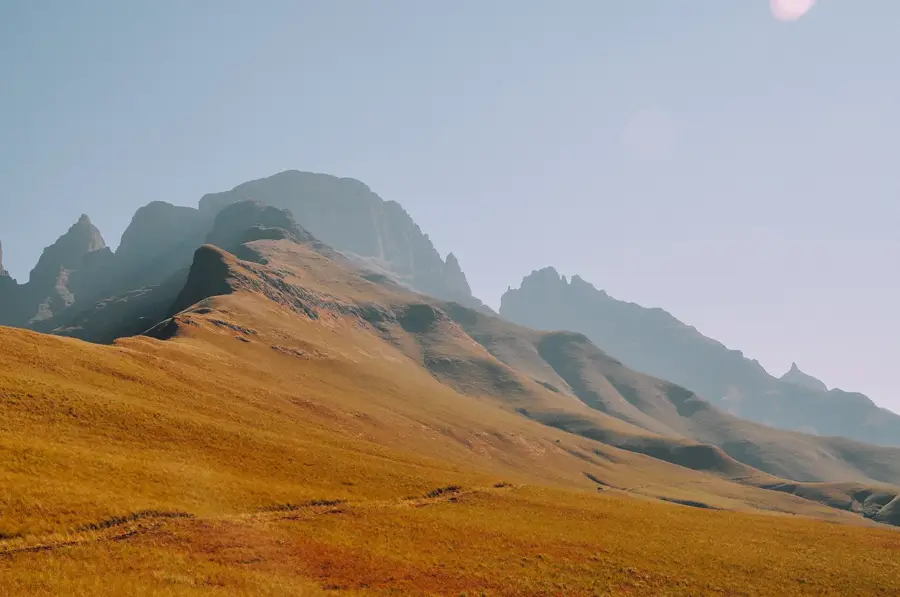
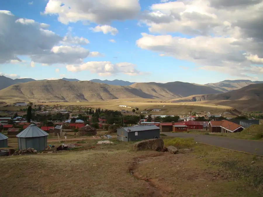
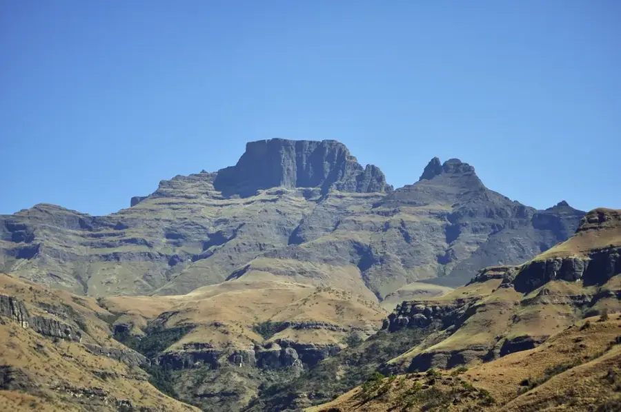
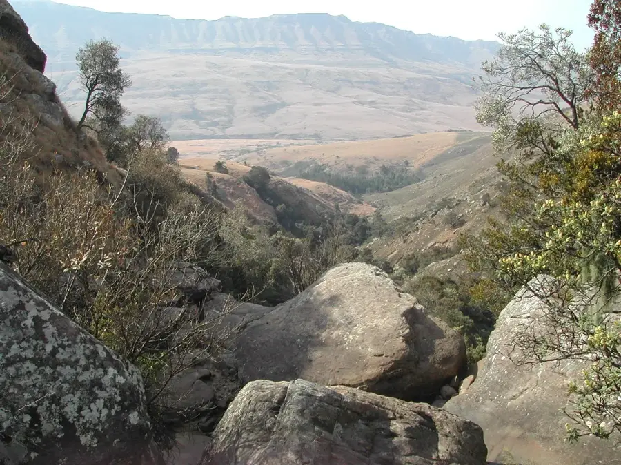
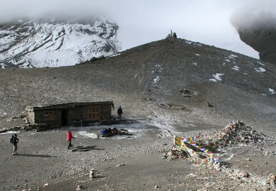
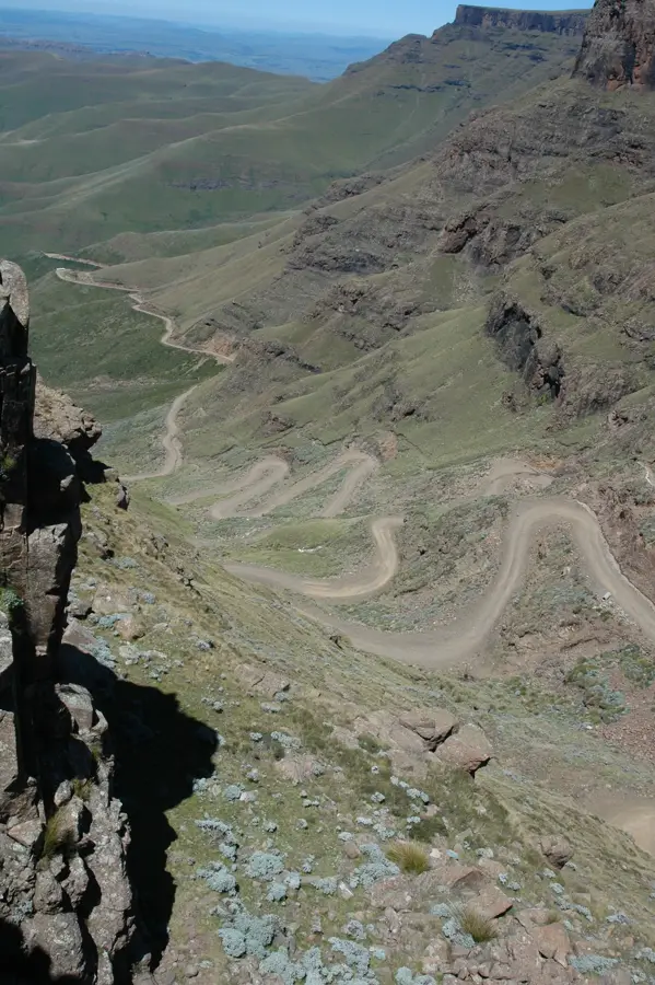
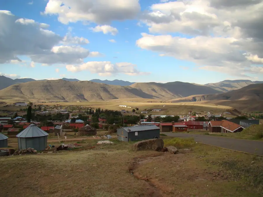
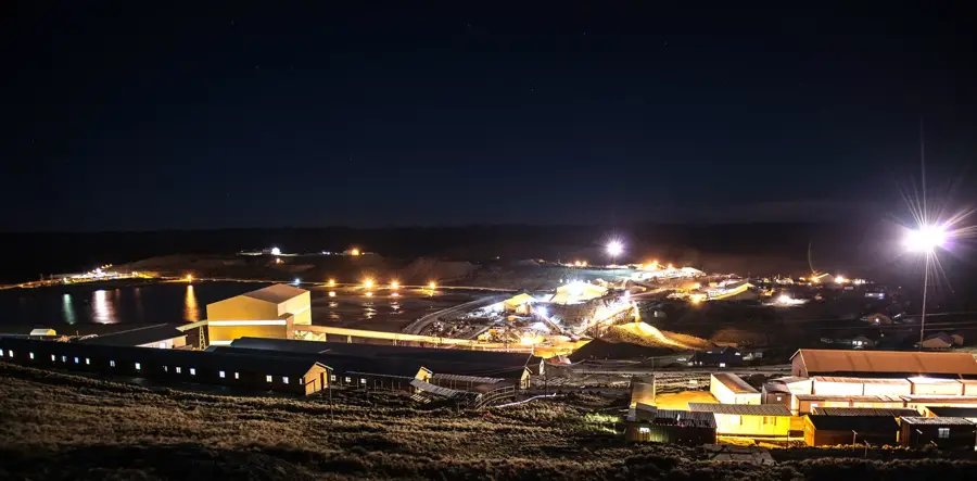
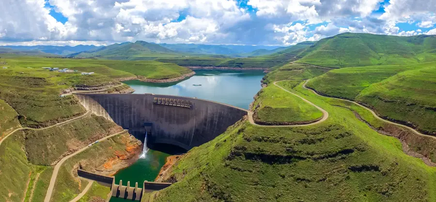
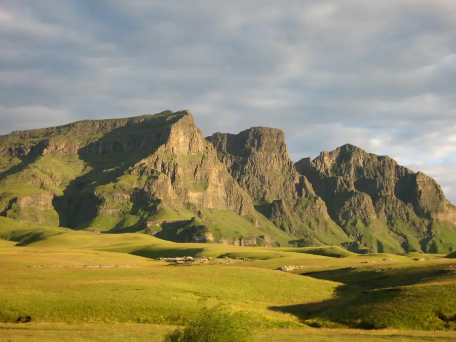
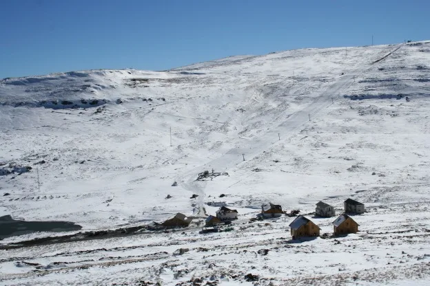
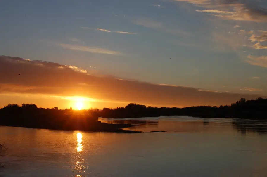
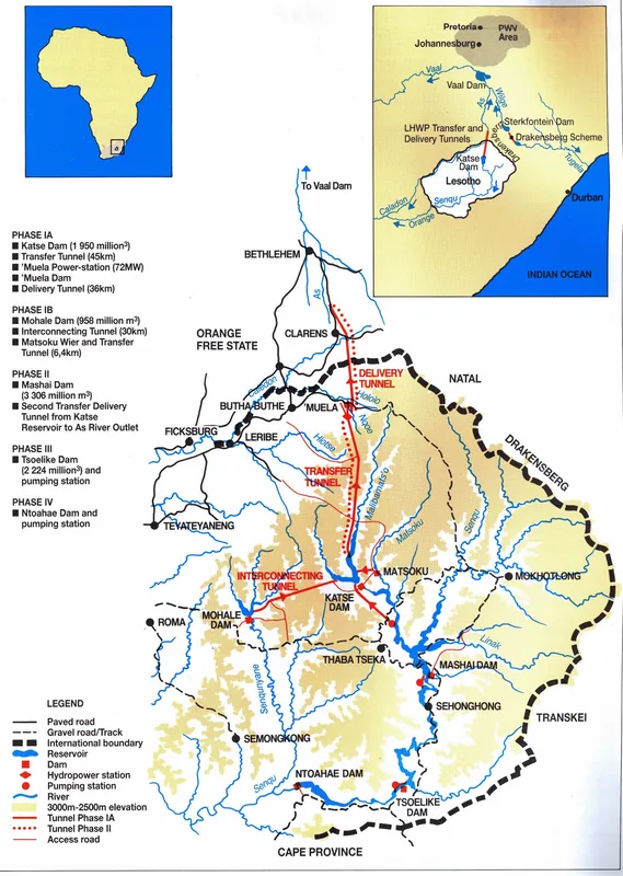
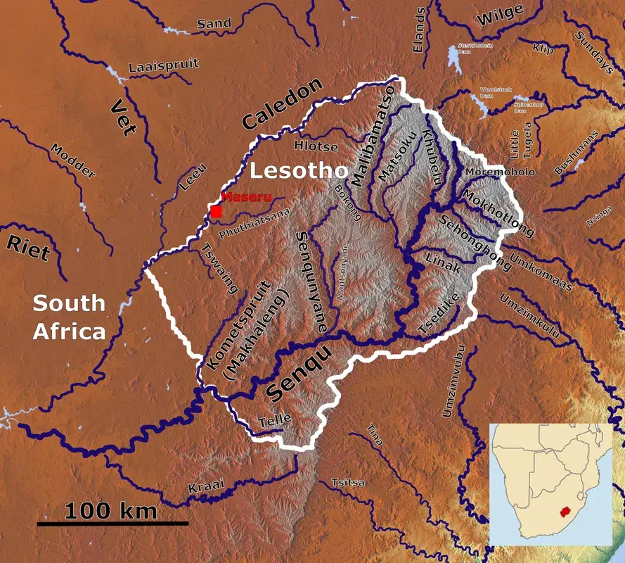
The Mokhotlong River is a major river system in the northeastern Mokhotlong District of Lesotho, which is among the highest regions in the country. Originating high in the Maloti Mountains, it flows through a deep valley before joining the Senqu (Orange) River. The town of Mokhotlong, a key regional hub, is situated near its course and depends heavily on the river's water resources. The region is known for its extreme climate, characterized by snowy winters and cool summers, which significantly dictates the river's hydrology. The Mokhotlong Valley is a center for traditional wool and mohair production, with the river providing essential water for livestock. Geologically, the river carves through mineral-rich basaltic formations. The Mokhotlong River is also an important destination for outdoor enthusiasts, providing access to some of the most remote and pristine mountain environments in southern Africa.
- Location: Lesotho
- Nearby: Linakaneng (16 km)
Best time to visit & climate
The most pleasant time to visit is Sep–Nov.
| Jan | Feb | Mar | Apr | May | Jun | Jul | Aug | Sep | Oct | Nov | Dec | |
|---|---|---|---|---|---|---|---|---|---|---|---|---|
| Avg °C | 15 | 15 | 13 | 9 | 6 | 3 | 3 | 5 | 9 | 12 | 14 | 15 |
| Rain mm | 216 | 182 | 119 | 67 | 17 | 12 | 12 | 22 | 30 | 81 | 115 | 176 |
📋 Practical info
Geography
Facts
- Flows through Lesotho's highest district, Mokhotlong.
- A significant tributary of the Senqu (Orange) River, South Africa's longest river.
- The town of Mokhotlong was originally established as a police post in 1905.
- The region is renowned for the high quality of its wool and mohair production.
- The river's flow is often supplemented by snowmelt during the winter and spring.
- A primary starting point for treks to Thabana Ntlenyana, the highest peak in southern Africa.
Explore nearby
Notable places around
Route planner — Car & Motorhome
Where do you start? We build the route here, with stops and country notes along the way.
© OpenStreetMap contributors · OpenRouteService
Sights nearby
Frequently asked questions
What does the name Mokhotlong mean?
How cold does it get at the Mokhotlong River?
Can you pan for gold in the Mokhotlong?
Is the Mokhotlong River suitable for rafting?
Are there bridges over the river?
Mokhotlong River: where is it located?
Mokhotlong River: when is the best time to visit?
Mokhotlong River: why is it worth visiting?

Nearby cities


History & landmarks
Nature
More places