Plizio Visual Lab
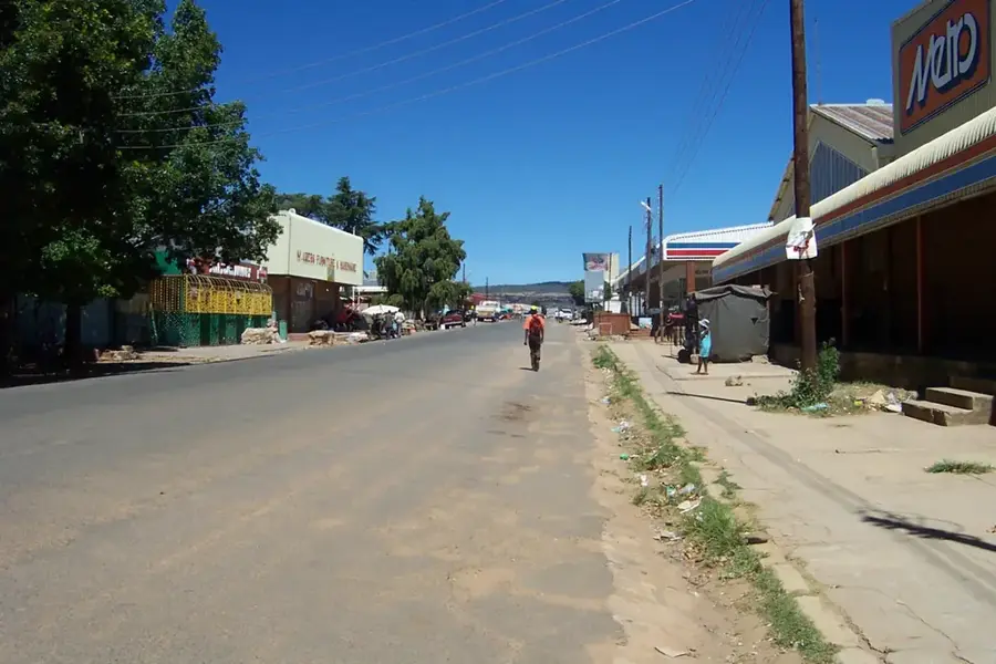
Maputsoe
ℹ️Practical info — Maputsoe
▾
🌤 Weather — 5 days
📍 Nearby
Sights nearby
💡 Tips
- As a major border town with Ficksburg, the crossing can be busy; factor in extra time.
- Many businesses accept South African Rand interchangeably with the Loti.
- It's an industrial town, so traffic peaks around factory shift changes.
- Taxis are plentiful, but walking is feasible for most central locations.
🍽 Food
A hollowed-out quarter loaf of bread filled with chips and meat, popular among factory workers.
Deep-fried dough filled with savory mince, grab one at the bustling taxi rank.
A fermented porridge often eaten for breakfast or lunch at small local stalls.
🛍 Shopping · 🧘 Quiet spots
Look for factory shops offering discounts on locally manufactured clothing.
Informal traders near the border sell a fascinating mix of goods from both countries.
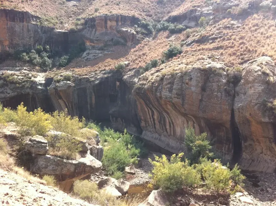
Stroll along the river forming the border for some peace away from the industrial noise.
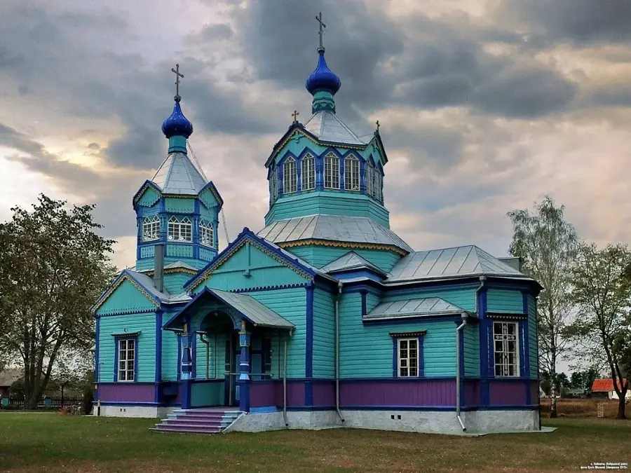
Several older churches in town have small, quiet gardens open to respectful visitors.
Water temperature…
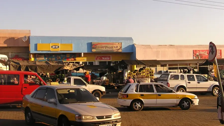
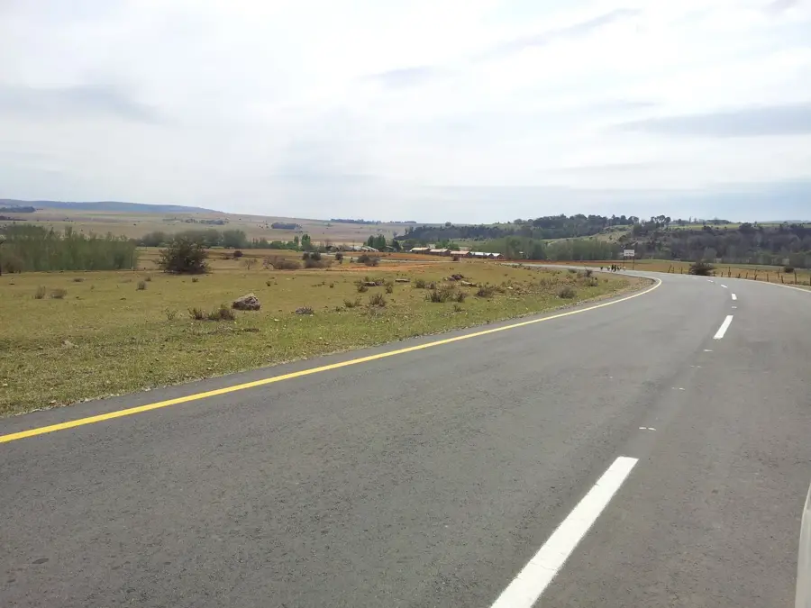
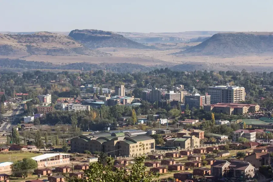
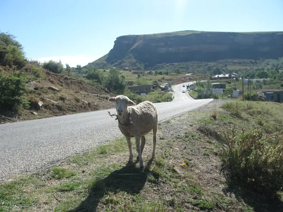
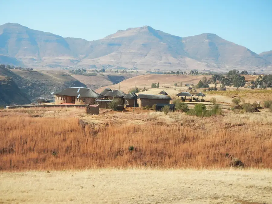
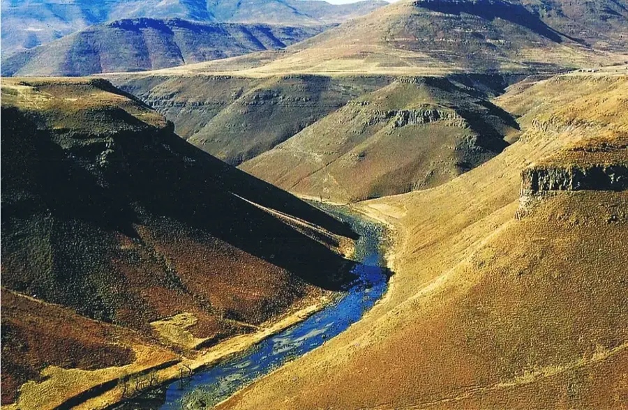
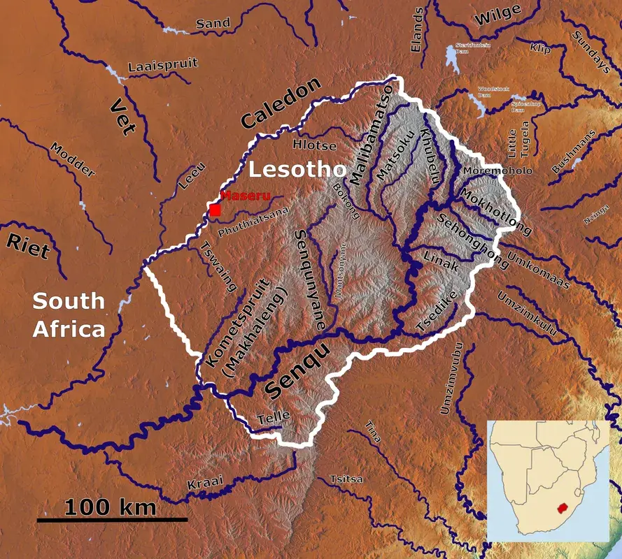
Maputsoe is a major industrial town in the Leribe District of Lesotho, situated on the banks of the Caledon River directly opposite the South African town of Ficksburg. In recent decades, Maputsoe has transformed from a small settlement into one of the country's most vital economic centers, second only to the capital. The town's growth is largely driven by its strategic location at one of Lesotho's busiest border crossings. It is home to a significant concentration of manufacturing industries, particularly textile and garment factories that produce for international markets. Geographically, the town lies at an elevation of approximately 1,600 meters on relatively flat terrain suitable for large-scale industrial development. Maputsoe is deeply integrated with the South African economy, with daily cross-border flows of workers and traders defining its social and economic life. Beyond manufacturing, it serves as a key distribution point for agricultural products and consumer goods in northern Lesotho. The rapid urbanization has created a dynamic urban environment that reflects Lesotho's modern industrial aspirations.
- Location: Lesotho
- Nearby: Peka (19 km)
- Population: ~61.916 (2023)
Best time to visit & climate
The most pleasant time to visit is Jan–Mar.
| Jan | Feb | Mar | Apr | May | Jun | Jul | Aug | Sep | Oct | Nov | Dec | |
|---|---|---|---|---|---|---|---|---|---|---|---|---|
| Avg °C | 20 | 19 | 17 | 13 | 10 | 7 | 7 | 9 | 13 | 16 | 17 | 19 |
| Rain mm | 115 | 94 | 80 | 54 | 17 | 18 | 8 | 21 | 22 | 65 | 95 | 112 |
Geography
Facts
- Maputsoe is the second-largest industrial center in Lesotho.
- The town is situated directly across from Ficksburg, South Africa.
- It hosts a large number of international garment manufacturing firms.
- The town's elevation is approximately 1,600 meters above sea level.
- Maputsoe Bridge is one of the busiest border crossings in the kingdom.
- The town is located within the Leribe District.
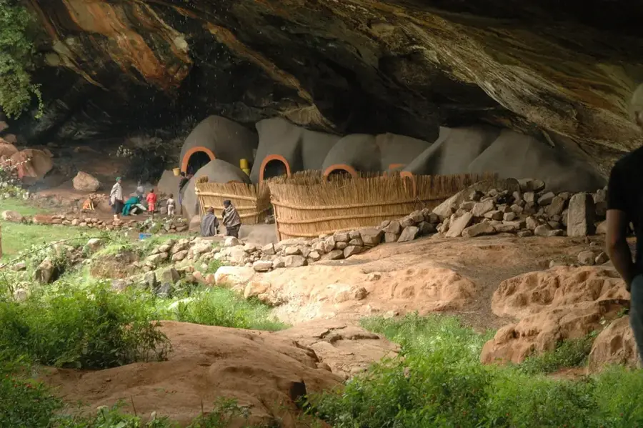
Explore nearby
Notable places around
Route planner — Car & Motorhome
Where do you start? We build the route here, with stops and country notes along the way.
© OpenStreetMap contributors · OpenRouteService
Frequently asked questions
What is Maputsoe known for?
Is Maputsoe a tourist destination?
Are there shopping opportunities?
How long does the border crossing take?
Are there accommodation options?
Maputsoe: where is it located?
Maputsoe: when is the best time to visit?
Maputsoe: why is it worth visiting?

Nearby cities


History & landmarks
Nature


More places