Plizio Visual Lab
Hlotse River
Weather…
Water temperature…
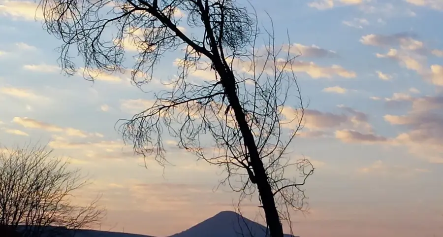
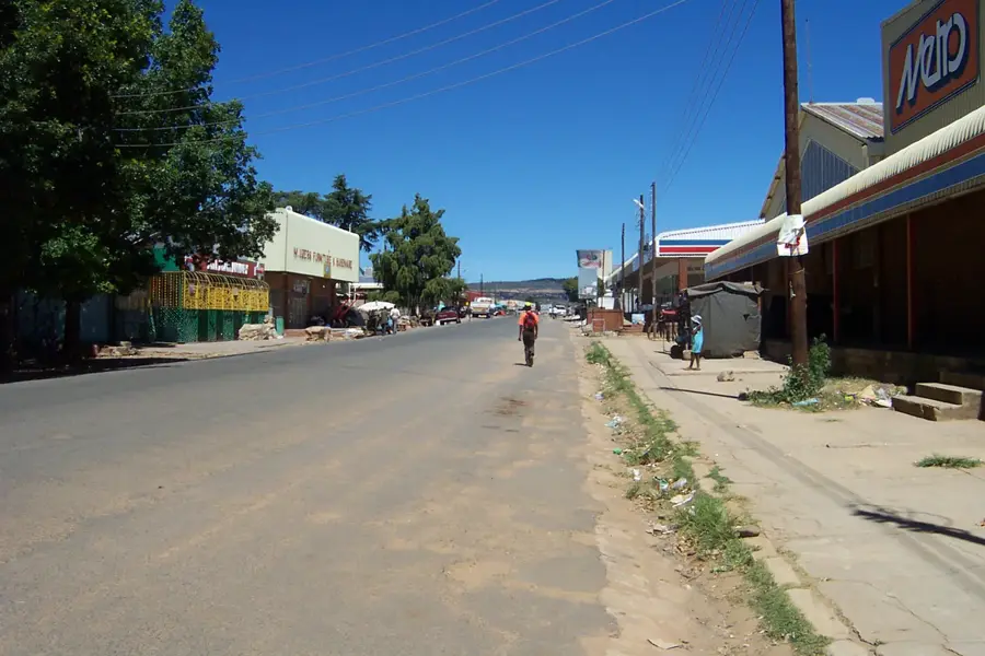
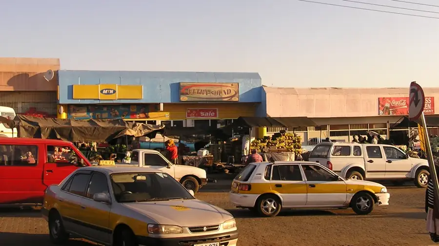
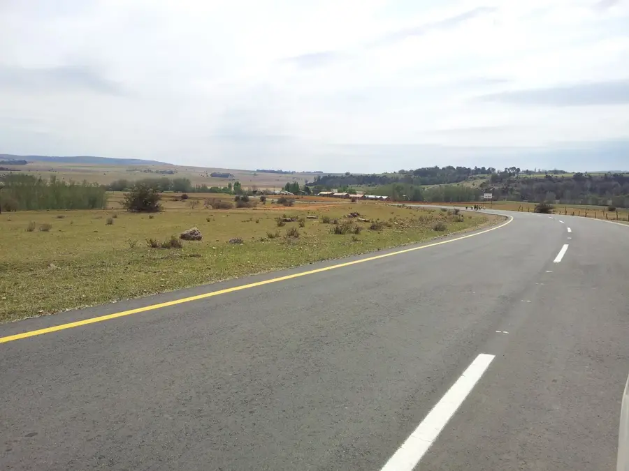
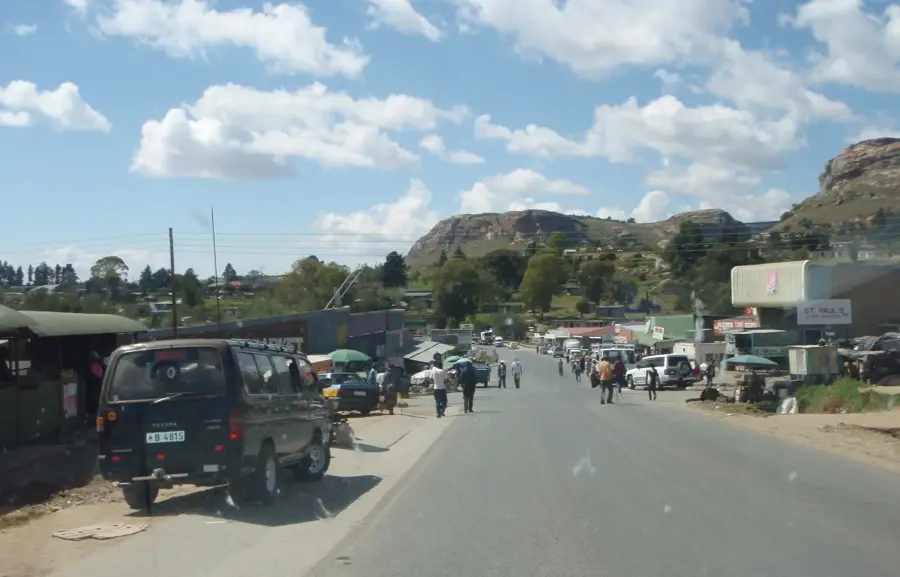
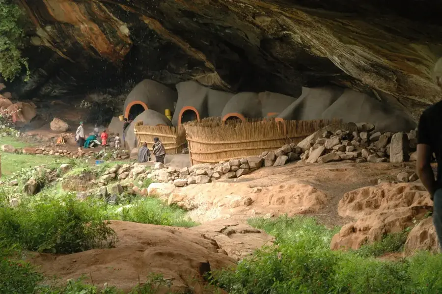
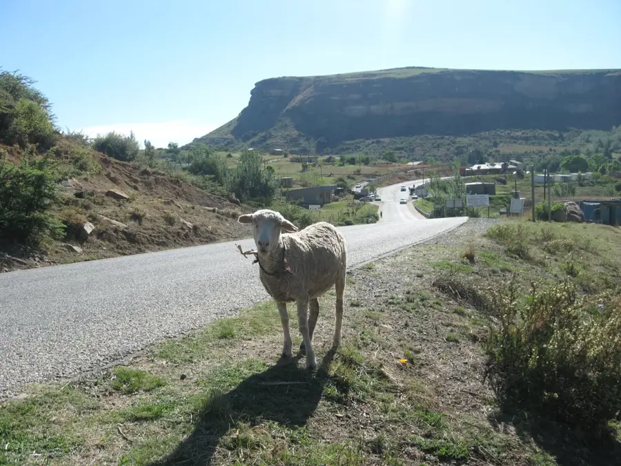
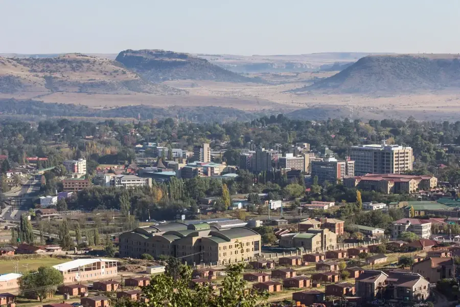
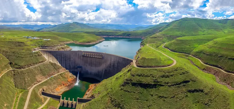
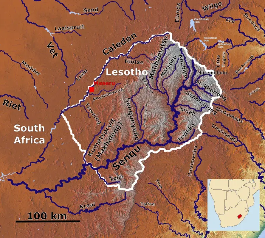
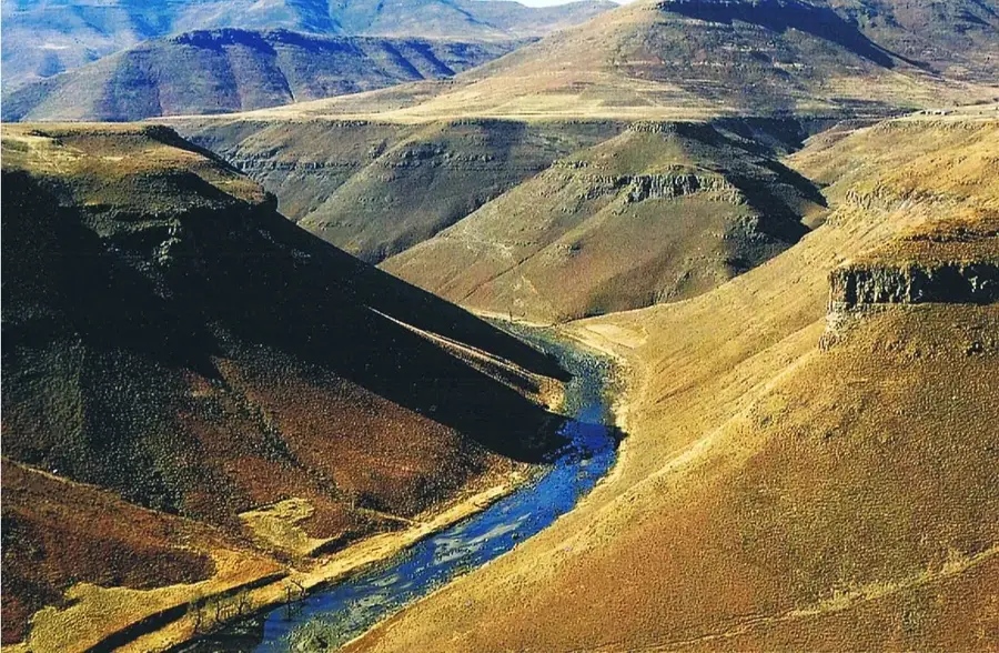
The Hlotse River is a prominent watercourse in northwestern Lesotho and a vital tributary of the Mohokare (Caledon) River, which marks the border with South Africa. Originating in the western foothills of the Maloti Mountains, the river flows westward through some of the country's most fertile agricultural lands. It passes the town of Hlotse, the administrative capital of the Leribe District, providing essential water for both urban use and large-scale irrigation of maize and sorghum crops. The Hlotse valley is internationally recognized for its paleontological significance, hosting several sites with well-preserved dinosaur footprints dating back millions of years. These fossilized remains offer a unique window into the prehistoric environment of the Gondwana supercontinent. Throughout history, the river has been a focal point for Basotho settlement, blending traditional agricultural practices with the surrounding natural beauty. Despite its importance, the river faces environmental challenges such as siltation and soil erosion caused by overgrazing in its upper reaches. Today, the Hlotse River remains a cornerstone of the regional economy and a key site for exploring Lesotho's rich natural and prehistoric heritage.
- Location: Lesotho
- Top sights: Qoqolosing · Khanyane L.E.C. SA
- Nearby: Hlotse (13 km)
Best time to visit & climate
The most pleasant time to visit is Jan–Mar.
| Jan | Feb | Mar | Apr | May | Jun | Jul | Aug | Sep | Oct | Nov | Dec | |
|---|---|---|---|---|---|---|---|---|---|---|---|---|
| Avg °C | 20 | 19 | 17 | 13 | 10 | 7 | 7 | 9 | 13 | 16 | 17 | 19 |
| Rain mm | 115 | 94 | 80 | 54 | 17 | 18 | 8 | 21 | 22 | 65 | 95 | 112 |
📋 Practical info
Geography
Facts
- The Hlotse is a key tributary of the Mohokare (Caledon River).
- It flows past the town of Hlotse, the administrative center of Leribe.
- The Tsikoane dinosaur footprints are located in the vicinity of the river.
- The river's source is at an elevation of roughly 2500 meters in the Maloti Mountains.
- The Hlotse valley is a primary region for maize and sorghum production in Lesotho.
- The river experiences its highest flow during the summer rainy season from October to March.
Explore nearby
Notable places around
Route planner — Car & Motorhome
Where do you start? We build the route here, with stops and country notes along the way.
© OpenStreetMap contributors · OpenRouteService
Sights in the town Hlotse River (2)
Sights nearby
Frequently asked questions
Which town is located on the Hlotse River?
What can you do at the Hlotse River?
Are there crocodiles in the Hlotse River?
How deep is the river?
Are there lodges at the Hlotse River?
Hlotse River: where is it located?
Hlotse River: what is there to see?
Hlotse River: when is the best time to visit?
Hlotse River: why is it worth visiting?

Nearby cities


History & landmarks
Nature
More places