Plizio Visual Lab
Thaba-Li-Mpe
Weather…
Water temperature…
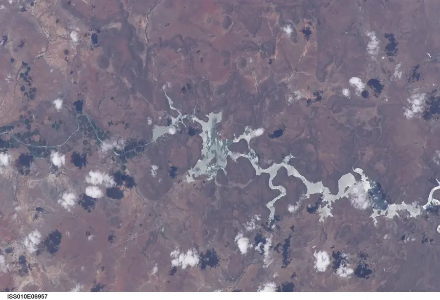
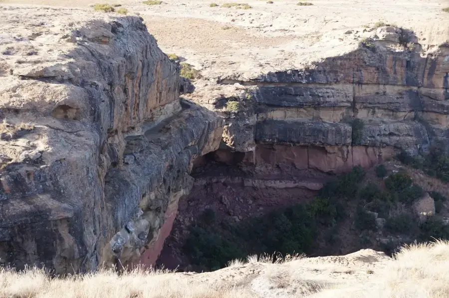
Thaba-Li-Mpe is a commanding peak within the Maloti Range, forming part of the extensive Drakensberg-Maloti mountain system in Lesotho. Rising well above 3,000 meters, the mountain is characterized by its dramatic basaltic cliffs and rugged slopes that have been chiseled by millions of years of erosion. The high-altitude environment is notoriously harsh, with frequent mists and heavy winter snowfalls creating a landscape that is both beautiful and formidable. Thaba-Li-Mpe serves as a critical water catchment area for the region; its unique alpine wetlands and sparse moorland vegetation act as a natural sponge, regulating the flow of water into the mountain streams that eventually feed the country's major rivers. The flora is composed of resilient alpine species, including various succulents and hardy grasses that thrive in the thin air and intense UV light. For hikers and mountaineers, the peak features a true wilderness experience, requiring self-reliance and navigational skill, while providing unparalleled views of the expansive, windswept highlands of the mountain kingdom.
- Location: Lesotho
- Nearby: Bokong Nature Reserve (13 km)
Best time to visit & climate
The most pleasant time to visit is Sep–Nov.
| Jan | Feb | Mar | Apr | May | Jun | Jul | Aug | Sep | Oct | Nov | Dec | |
|---|---|---|---|---|---|---|---|---|---|---|---|---|
| Avg °C | 14 | 14 | 12 | 9 | 5 | 2 | 2 | 5 | 8 | 11 | 12 | 14 |
| Rain mm | 193 | 155 | 115 | 65 | 16 | 14 | 12 | 23 | 32 | 82 | 115 | 163 |
📋 Practical info
Geography
Facts
- Thaba-Li-Mpe is 2,150 m (7,054 ft) high.
- It is located south of Maseru.
- The name means 'Mountain of the Evil Spirit' in Sesotho.
- Coordinates: 29°40' S, 27°30' E.
- Surrounding fields are at about 1,800 m (5,906 ft) elevation.
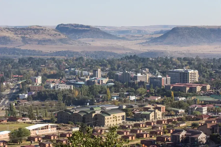
- Nearest settlement is the village of Ribaneng, about 10 km (6.2 mi) away.
Explore nearby
Notable places around
Route planner — Car & Motorhome
Where do you start? We build the route here, with stops and country notes along the way.
© OpenStreetMap contributors · OpenRouteService
Sights nearby
Frequently asked questions
What does the name Thaba-Li-Mpe mean?
How high is this peak?
Are there marked trails there?
Can you ski there in winter?
Is there mobile reception there?
Thaba-Li-Mpe: where is it located?
Thaba-Li-Mpe: when is the best time to visit?
Thaba-Li-Mpe: why is it worth visiting?

Nearby cities
History & landmarks

Nature
More places