Plizio Visual Lab
Peka
ℹ️Practical info — Peka
▾
🌤 Weather — 5 days
📍 Nearby
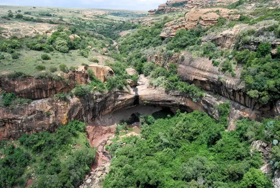
Sights nearby
💡 Tips
- The Peka Bridge border crossing is typically much quieter and faster than the main Maseru bridge if entering from South Africa.
- South African Rand is accepted everywhere and used completely interchangeably with the local Loti.
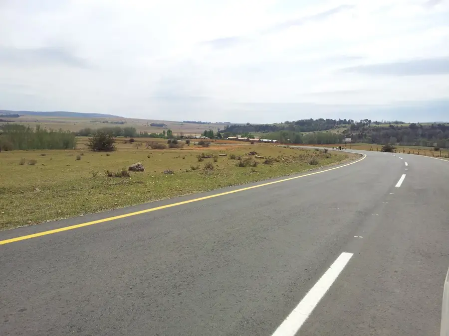
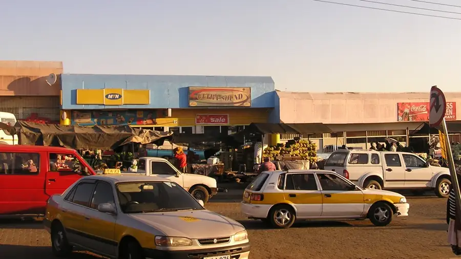
- Drive carefully through the town center, as livestock and pedestrians frequently cross the main road.
- This is a convenient place to refuel your vehicle and buy supplies if heading further north into the Leribe district.
🍽 Food
A traditional, long-lasting snack made from roasted, ground maize mixed with salt, excellent for road trips.
A spicy vegetable relish commonly served alongside grilled meats at roadside diners.
British-influenced baked goods are surprisingly popular and can be found in small local cafes.
🛍 Shopping · 🧘 Quiet spots
Locally crafted sweeping brooms and woven items often sold by the side of the main highway.
Small general stores offer a mix of local and cross-border groceries and essentials.
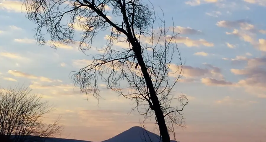
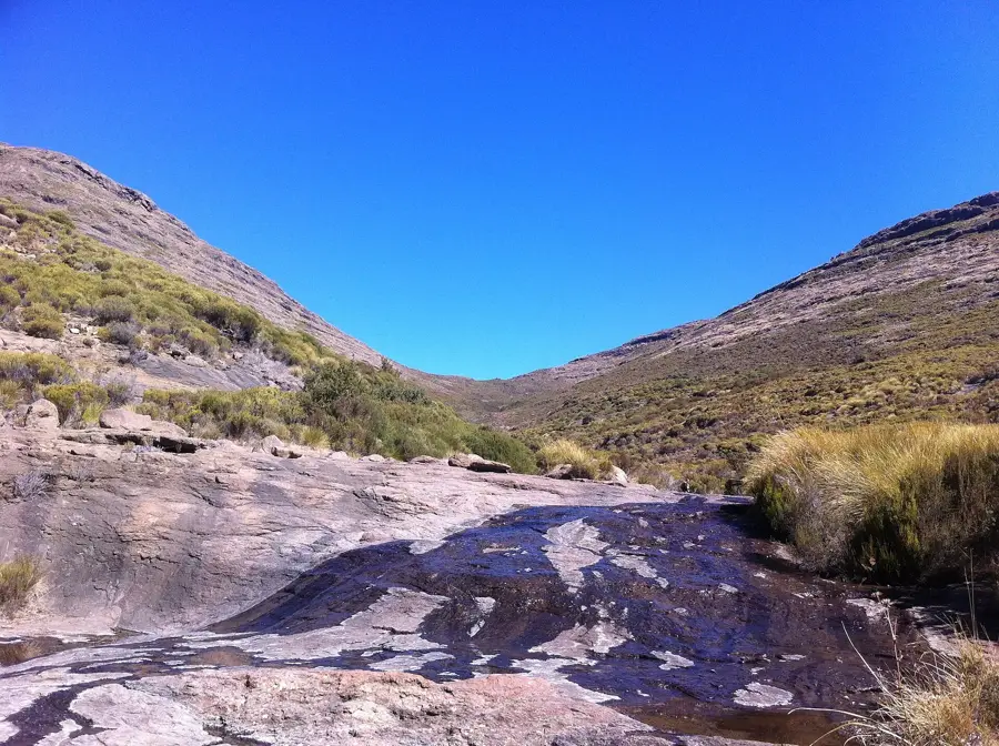
Find a quiet spot along the river (which forms the border) for a peaceful break.
Turn east off the main highway onto the dirt roads to experience immediate rural tranquility.
Water temperature…
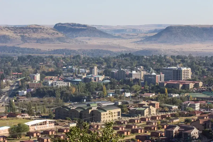
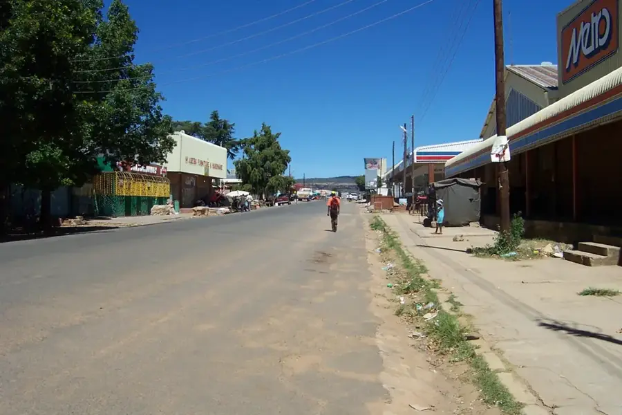
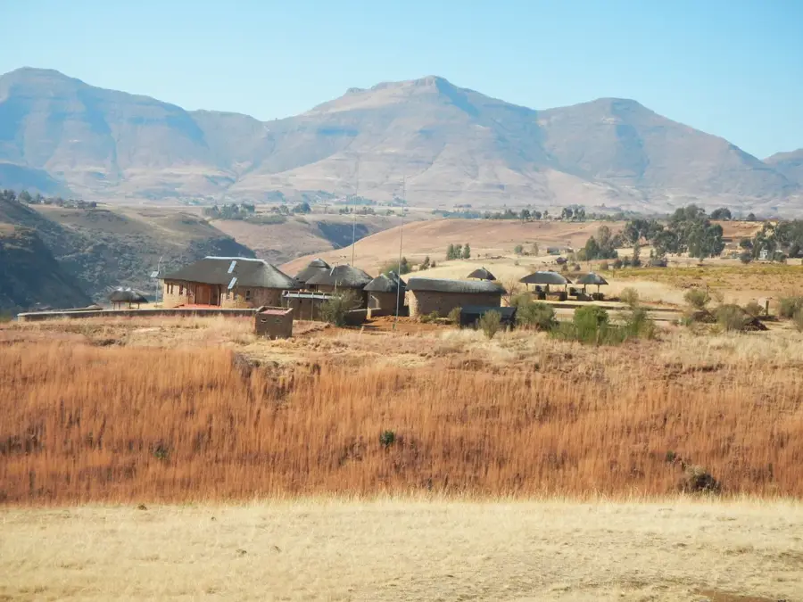
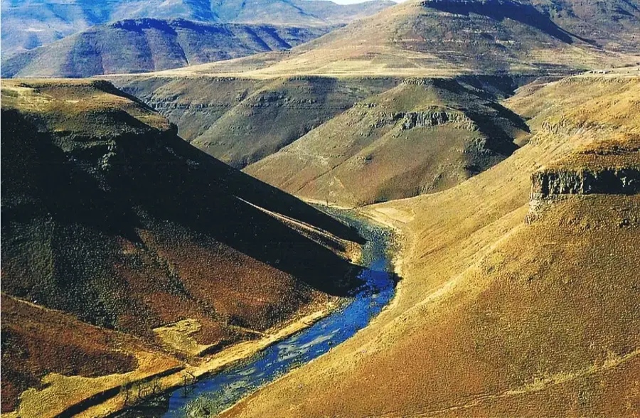
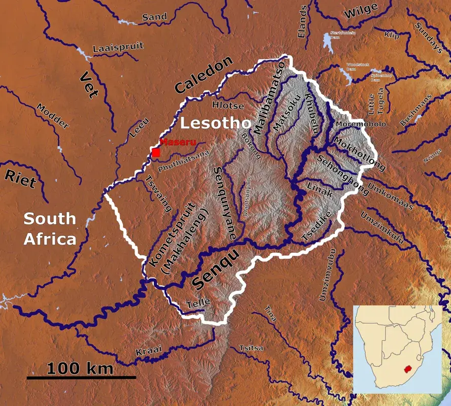
Peka is located in the Leribe District, positioned directly along the banks of the Caledon River, which forms the natural border between Lesotho and South Africa. The town possesses a significant historical legacy, most notably as a strategic outpost during the Gun War of the 1880s. Originally established as a mission station, Peka evolved into a vital agricultural hub due to the exceptional fertility of the surrounding plains. The Peka Bridge now serves as a major border crossing, facilitating essential trade and the movement of people between the two neighboring nations. Geographically, the region is defined by rolling hills and expansive farmlands that form the backbone of local food production. In addition to agriculture, education is a cornerstone of the community, with Peka hosting several esteemed schools that draw students from across the district. The town maintains a serene, rural atmosphere while remaining an indispensable link in the socio-economic exchange across the international border.
- Location: Lesotho
- Nearby: Maputsoe (19 km)
- Population: ~5.937 (2023)
Best time to visit & climate
The most pleasant time to visit is Feb, Mar, Dec.
| Jan | Feb | Mar | Apr | May | Jun | Jul | Aug | Sep | Oct | Nov | Dec | |
|---|---|---|---|---|---|---|---|---|---|---|---|---|
| Avg °C | 22 | 21 | 19 | 15 | 11 | 8 | 8 | 10 | 15 | 18 | 19 | 21 |
| Rain mm | 88 | 77 | 68 | 51 | 16 | 16 | 6 | 16 | 15 | 50 | 77 | 92 |
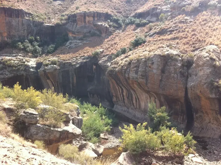
Geography
Facts
- Major border crossing point
- Located on the Caledon River
- Strategic site in the 1880s Gun War
- Originally a mission station
- Hub for regional agriculture
- Center for local secondary education
Explore nearby
Notable places around
Route planner — Car & Motorhome
Where do you start? We build the route here, with stops and country notes along the way.
© OpenStreetMap contributors · OpenRouteService
Sights in the town Peka (1)
Frequently asked questions
What is the role of Peka?
Is the border crossing open 24 hours?
Are there shops near the border?
How is the traffic in Peka?
What documents do I need at the border?
Peka: where is it located?
Peka: when is the best time to visit?
Peka: why is it worth visiting?

Nearby cities


History & landmarks
Nature


More places