Plizio Visual Lab
Jezzine

ℹ️Practical info — Jezzine
▾
🌤 Weather — 5 days
📍 Nearby
Sights nearby
💡 Tips
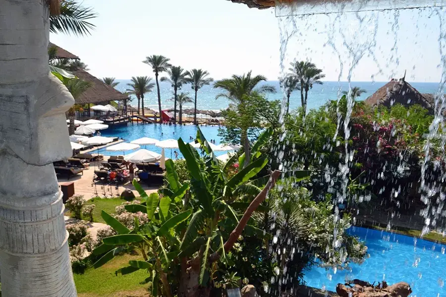
- Visit the Jezzine Waterfall in spring when the snowmelt makes the flow most spectacular.
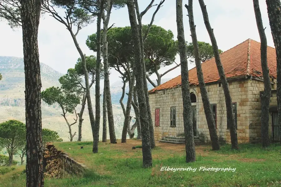
- Pine forests surround the town; dress in layers as it gets much cooler here than on the coast.
- Look for the traditional 'bird' handled cutlery made of bone or horn in the local artisan shops.
- The town center is compact and walkable, but wear sturdy shoes if you plan to hike down to the waterfall base.
🍽 Food
Enjoy traditional Lebanese spreads and charcoal-grilled skewers at a restaurant with valley views.
The region is famous for its pine nuts, often used generously in local sweets and savory dishes.
Try local bakeries near the main square for fresh baklava and maamoul.
🛍 Shopping · 🧘 Quiet spots
Jezzine is historically renowned for its handcrafted daggers and cutlery; look for family-owned workshops in the town center.
Browse the small shops for artisanal products, pine nuts, and local olive oil.
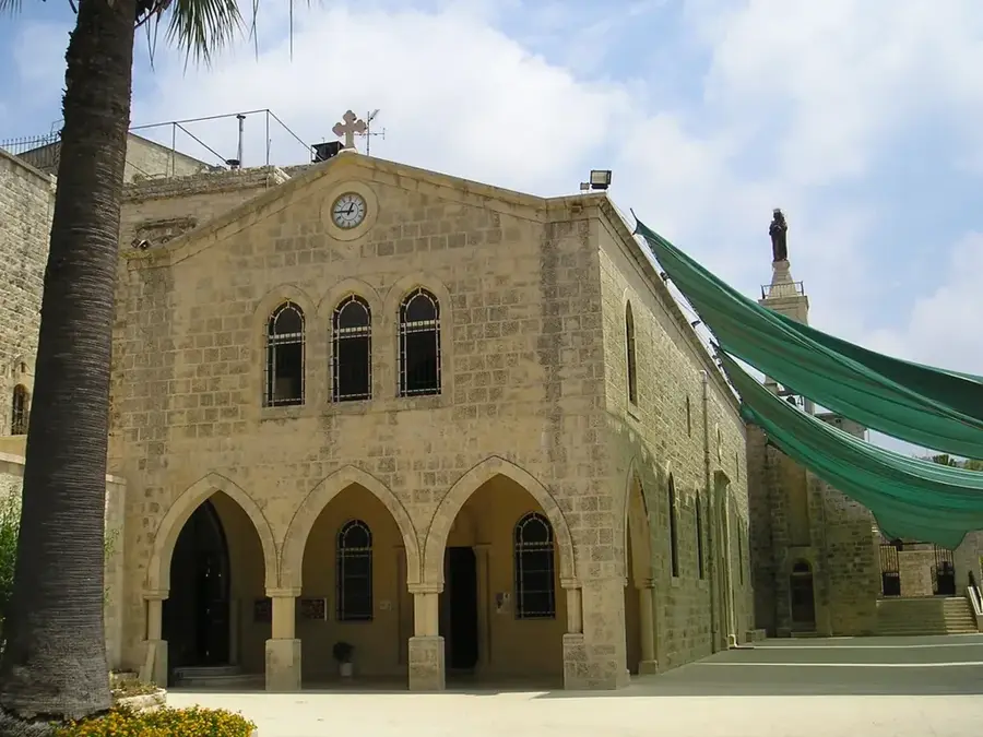
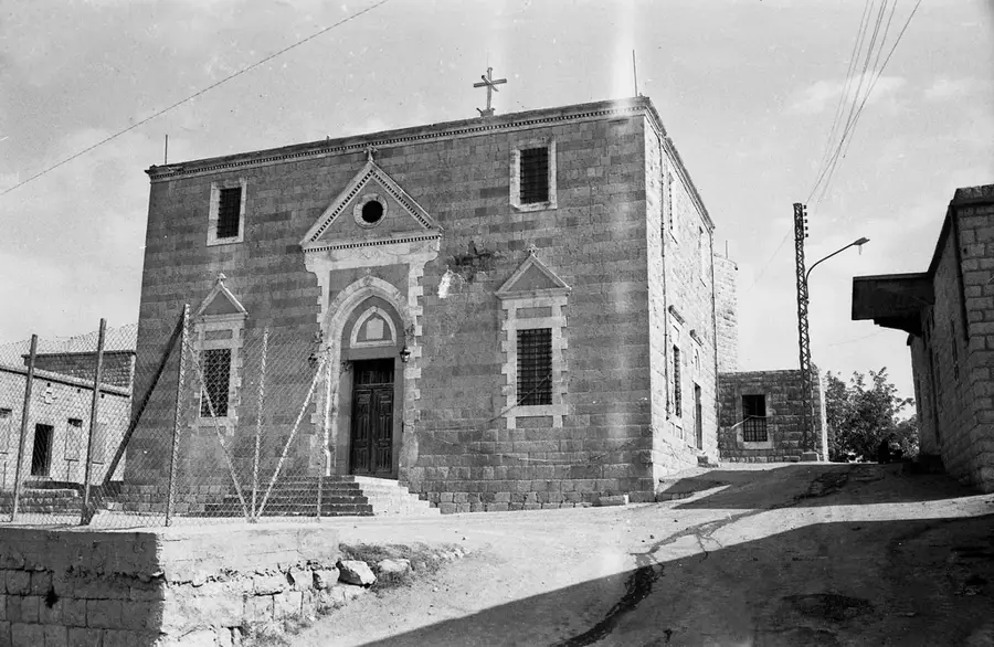
Explore the exterior of this unique, monumental unfinished palace built with a mix of oriental architectural styles.
Take a short drive to one of the largest pine forests in the Middle East for a tranquil hike.
Water temperature…
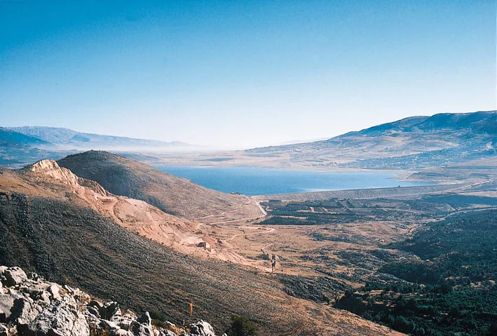
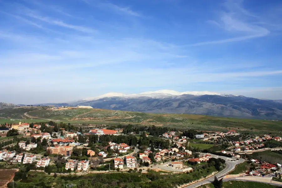
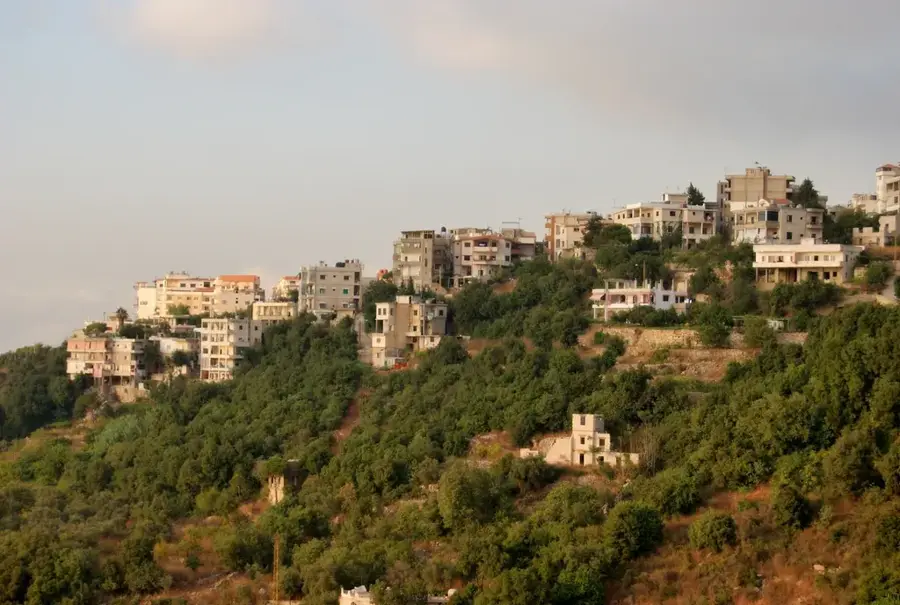
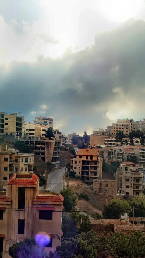
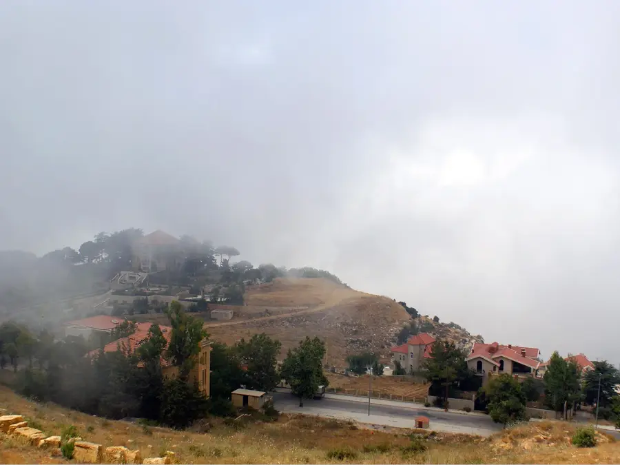
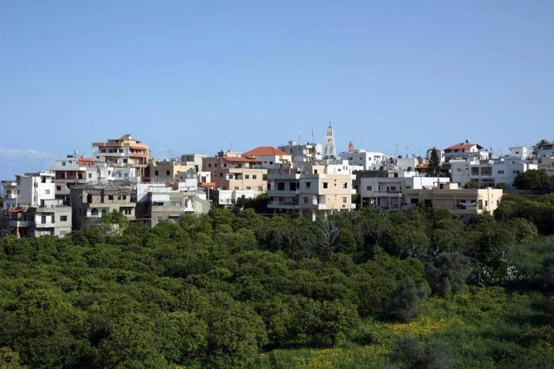
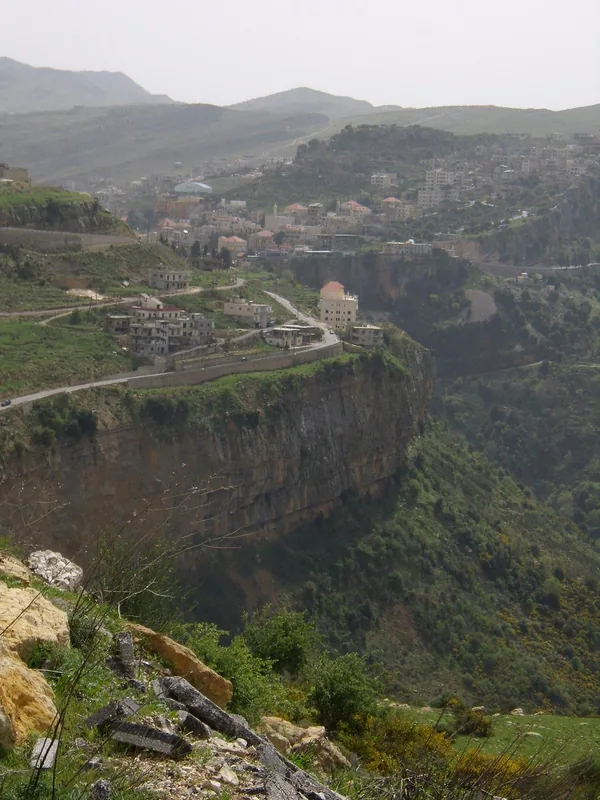
Jezzine is an easy on the eye small town located in the mountains of southern Lebanon, approximately 70 kilometers south of Beirut. The settlement sits on a rocky promontory at an altitude of 900 meters, offering panoramic views of the Bkassine Pine Forest, which is the largest continuous pine forest in the Mediterranean basin. The most famous natural attraction in Jezzine is its imposing waterfall, dropping roughly 40 meters into the valley at the edge of the town. The municipality gained international fame for its traditional handicrafts, particularly the creation of unique cutlery and daggers featuring handles made of bird bone inlaid with silver or gold (Jezzine cutlery), a craft practiced since the 18th century. The population is predominantly Maronite and Melkite Christian, functioning as a distinct cultural enclave within the predominantly Muslim region of southern Lebanon. Its economy is sustained by artisanal crafts, summer tourism, and local agriculture.
- Location: Lebanon
- Top sights: Issa's view · This site
- Nearby: Qaraoun Lake (13 km)
Best time to visit & climate
The most pleasant time to visit is May, Jun, Sep.
| Jan | Feb | Mar | Apr | May | Jun | Jul | Aug | Sep | Oct | Nov | Dec | |
|---|---|---|---|---|---|---|---|---|---|---|---|---|
| Avg °C | 7 | 8 | 11 | 14 | 19 | 23 | 25 | 25 | 23 | 19 | 14 | 9 |
| Rain mm | 99 | 80 | 39 | 23 | 7 | 1 | 0 | 0 | 3 | 18 | 50 | 83 |
Geography
Facts
- The town is situated on a rocky promontory at an altitude of 900 meters.
- Adjacent is the Bkassine Pine Forest, the largest pine forest in the region.
- The emblem of Jezzine is the 40-meter-high waterfall at the town's edge.
- It is famous for bird-bone handled, inlaid cutlery produced since the 1700s.
- The predominantly Christian population makes it unique in southern Lebanon.
Explore nearby
Notable places around
Route planner — Car & Motorhome
Where do you start? We build the route here, with stops and country notes along the way.
© OpenStreetMap contributors · OpenRouteService
Sights in the town Jezzine (2)
Frequently asked questions
What is the main attraction of Jezzine?
When does the waterfall look best?
What souvenir should I buy in Jezzine?
Are there hiking trails nearby?
Can I stay overnight in Jezzine?
Jezzine: where is it located?
Jezzine: what is there to see?
Jezzine: when is the best time to visit?
Jezzine: why is it worth visiting?

Nearby cities

History & landmarks
Nature
More places