Plizio Visual Lab
Damour River
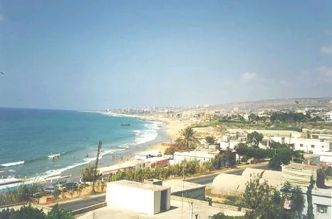
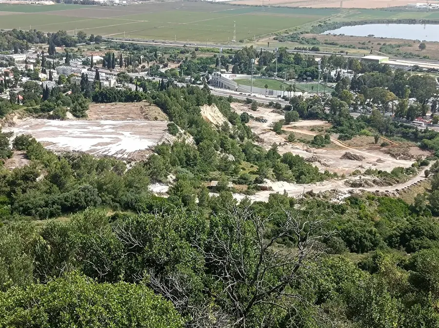
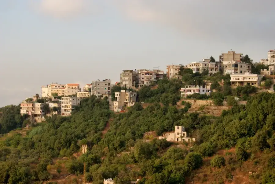
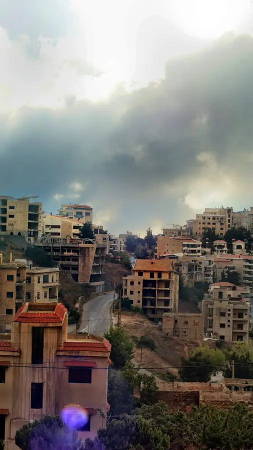
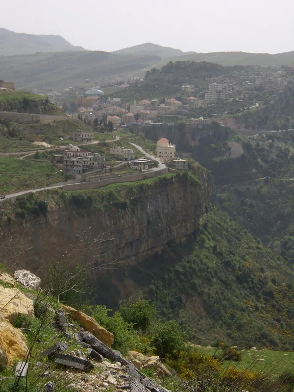
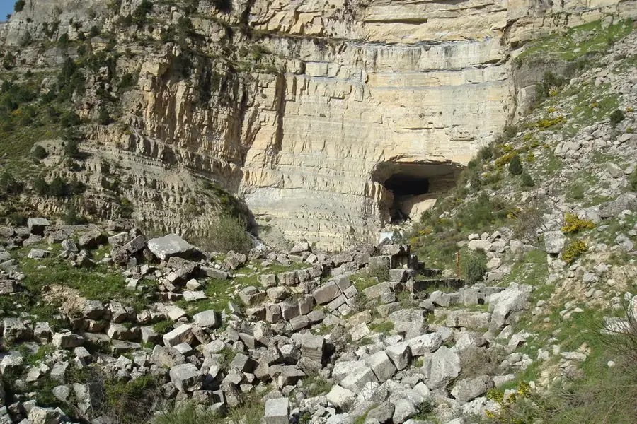
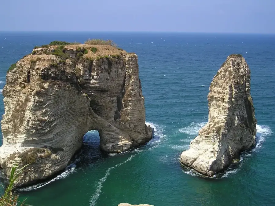
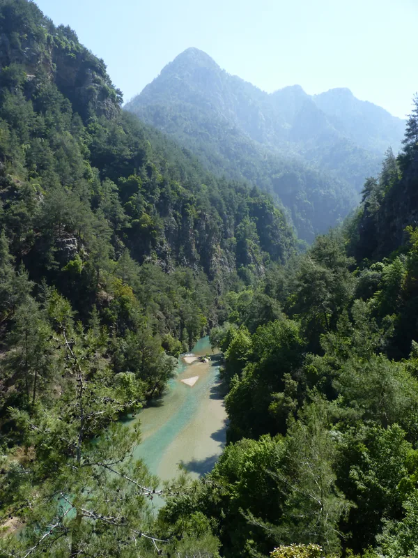
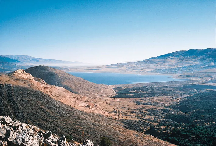
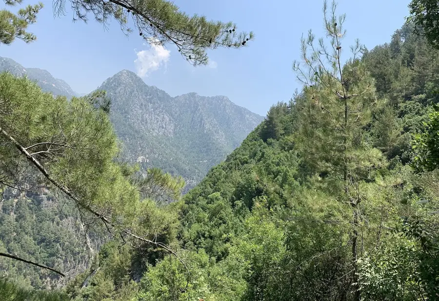
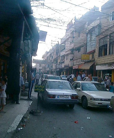
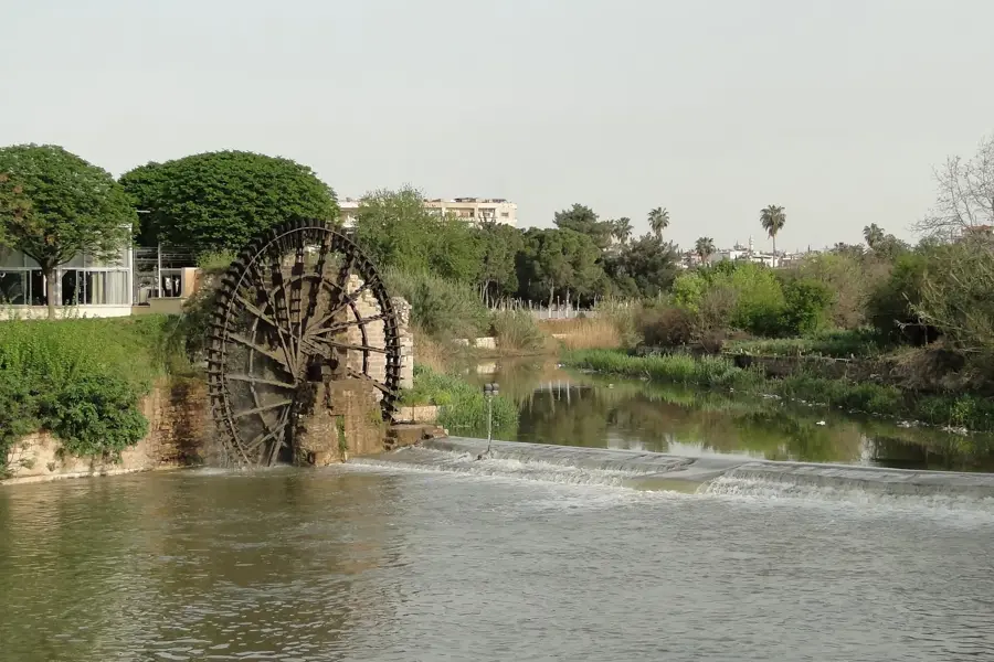
The Damour River, known in Arabic as Nahr Damour, is a pretty coastal river that originates in the Chouf Mountains and carves its way through a verdant valley to the Mediterranean Sea. The river valley is celebrated for its lush vegetation and fertile banks, which are predominantly covered with sprawling banana plantations and citrus groves. Located just south of Beirut, the area serves as a vital green lung and a popular recreational escape for city dwellers seeking cool breezes and natural scenery. Along its course, visitors find pleasant riverside restaurants and designated picnic spots that offer a peaceful atmosphere away from the urban bustle. The river's character changes dramatically with the seasons; it remains a gentle stream during the dry summer months but transforms into a powerful torrent in winter, fed by mountain rains and melting snow. The surrounding trails provide excellent opportunities for hiking and birdwatching, while the river's estuary near the town of Damour is known for its wide sandy beaches, making the entire area a diverse destination for nature lovers.
- Location: Lebanon
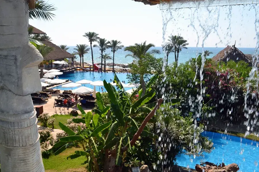
- Top sights: Family Beach · Janna Sur Mer · Oceana Beach
- Nearby: Sahl Ej Jiyeh (4 km)
Best time to visit & climate
The most pleasant time to visit is May, Jun, Sep.
| Jan | Feb | Mar | Apr | May | Jun | Jul | Aug | Sep | Oct | Nov | Dec | |
|---|---|---|---|---|---|---|---|---|---|---|---|---|
| Avg °C | 7 | 8 | 11 | 14 | 19 | 23 | 25 | 25 | 23 | 19 | 14 | 9 |
| Rain mm | 99 | 80 | 39 | 23 | 7 | 1 | 0 | 0 | 3 | 18 | 50 | 83 |
📋 Practical info
Geography
Facts
- Length: 30 km
- Catchment area: 500 km²
- Annual rainfall: 800 mm
- Maximum flow: 20 m³/s
- Mouth: Mediterranean south of Beirut
- Agricultural area: 100 km²
Explore nearby
Notable places around
Route planner — Car & Motorhome
Where do you start? We build the route here, with stops and country notes along the way.
© OpenStreetMap contributors · OpenRouteService
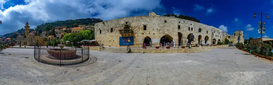
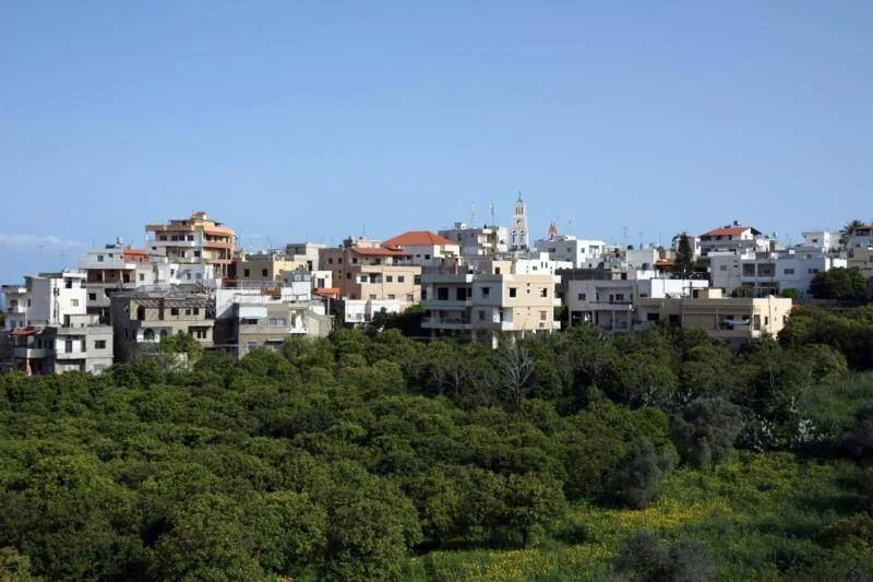
Sights in the town Damour River (6)
Sights nearby
Frequently asked questions
What activities are offered at Nahr Damour?
How is the access to the river?
Are there waterfalls on Nahr Damour?
Can you bathe in the river?
When is the best time for rafting?
Damour River: where is it located?
Damour River: what is there to see?
Damour River: when is the best time to visit?
Damour River: why is it worth visiting?

Nearby cities

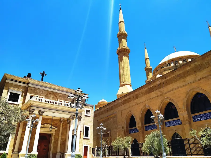
History & landmarks
Nature

More places