Plizio Visual Lab
Khan Tengri
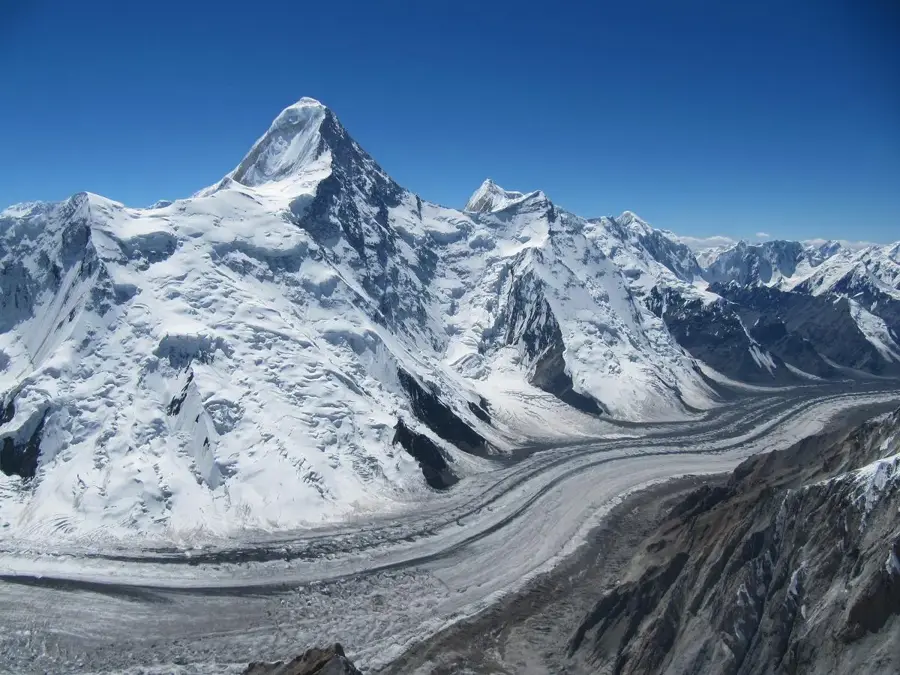
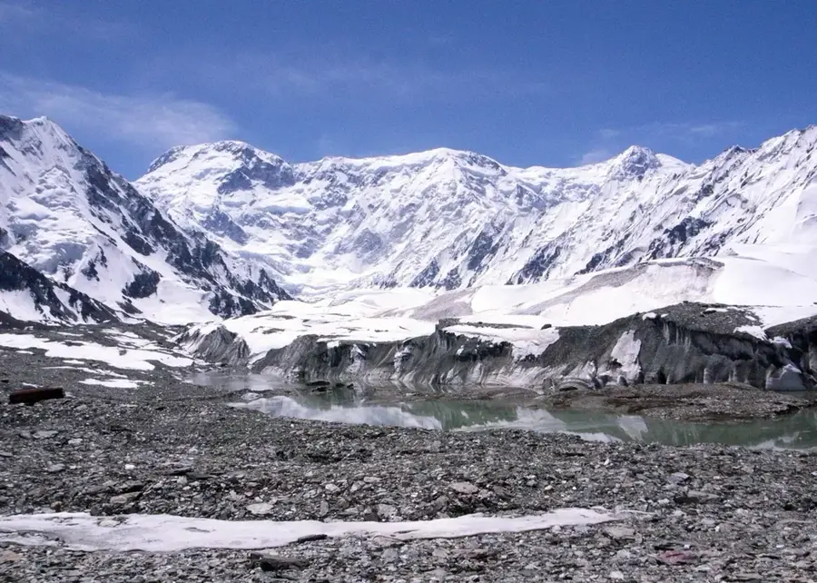
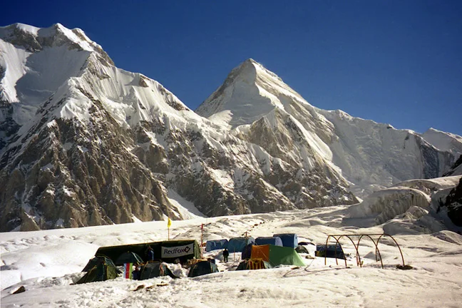
Khan Tengri is one of the most striking and iconic peaks of the Tian Shan mountain range, situated directly at the tripoint border of Kyrgyzstan, Kazakhstan, and China. While its geological elevation is 6,995 meters, its massive glacial cap brings its official height to 7,010 meters, making it the northernmost 7,000-meter peak in the world. The mountain's name translates to "Lord of the Spirits" or "King of Heaven" in Turkic languages, reflecting its deep spiritual significance among local peoples. Khan Tengri is globally renowned for its nearly excellent pyramidal shape and the dramatic pink and red hues its marble rock faces take on during sunset, which also earned it the nickname "Blood Mountain". The first successful summit was achieved in 1931 by the Ukrainian mountaineer Mikhail Pogrebetsky. Climbing this majestic peak is a formidable challenge that requires high-level technical skills due to its steep faces, constant avalanche danger, and freezing temperatures. It is one of the five mandatory peaks climbers must conquer to earn the prestigious Snow Leopard award.
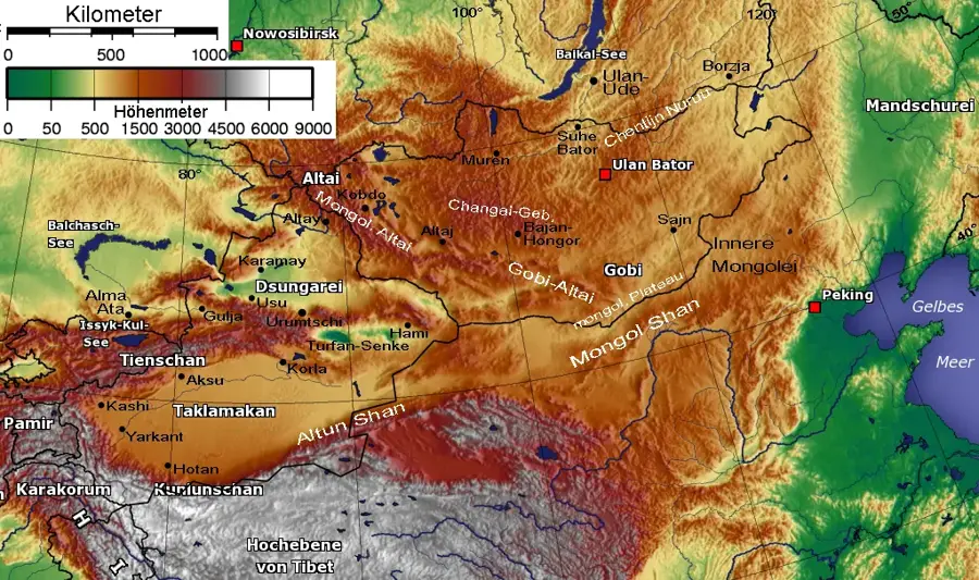
- Location: Kyrgyzstan
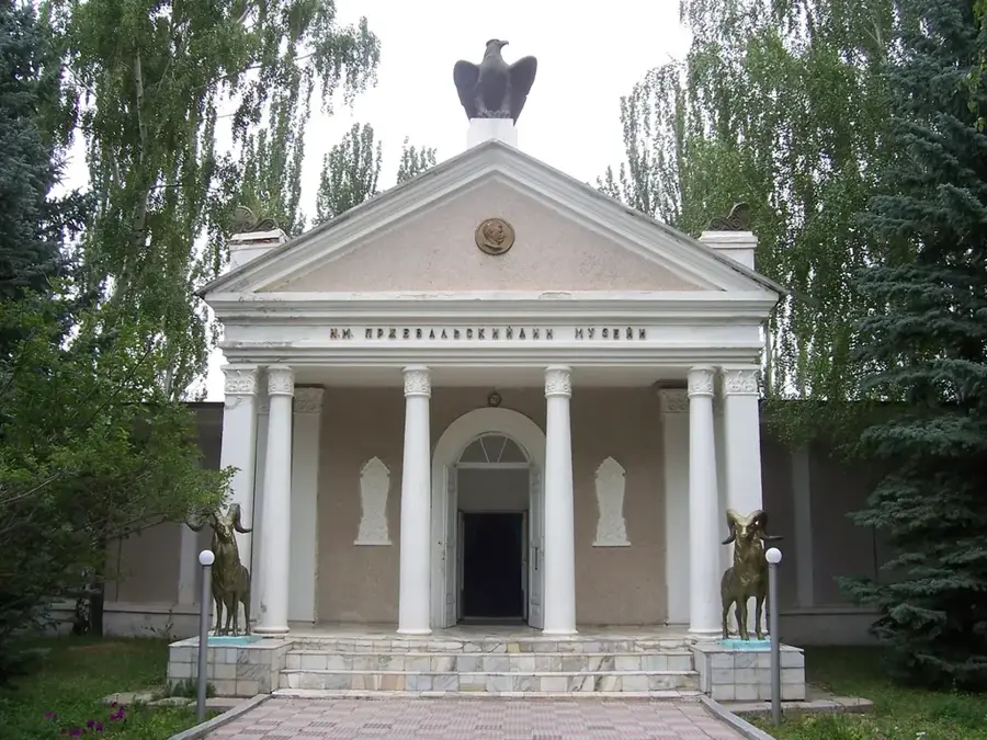
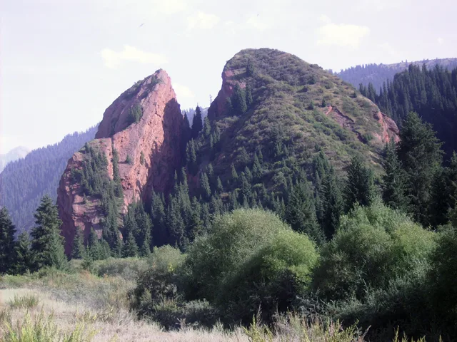
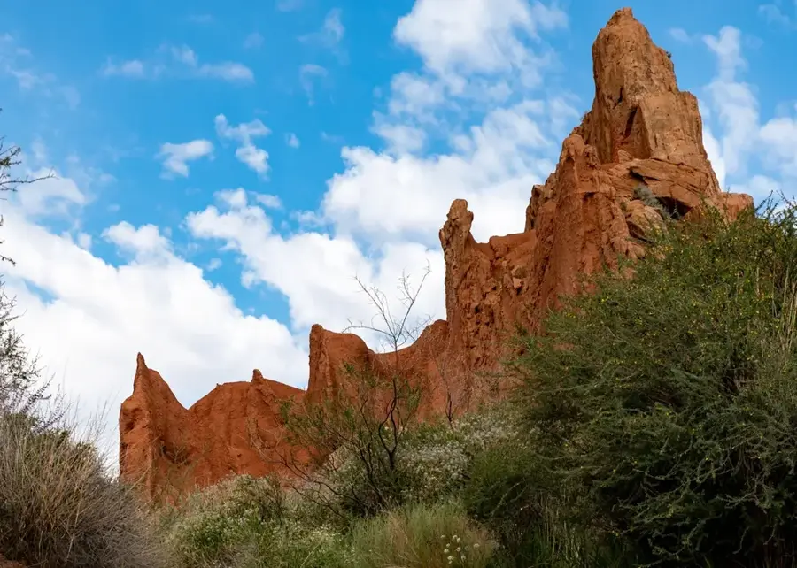
- Top sights: Khan Tengri · Eastern Shatyr · Przhevalsky
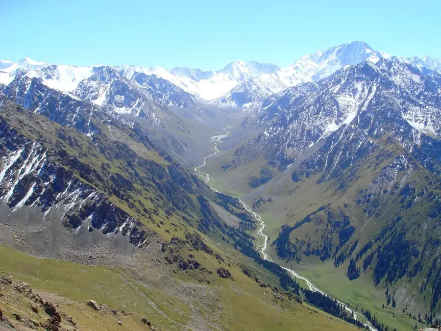
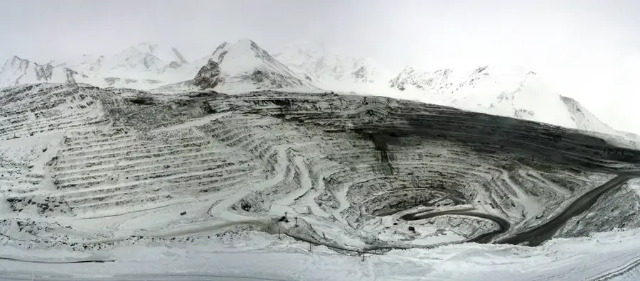
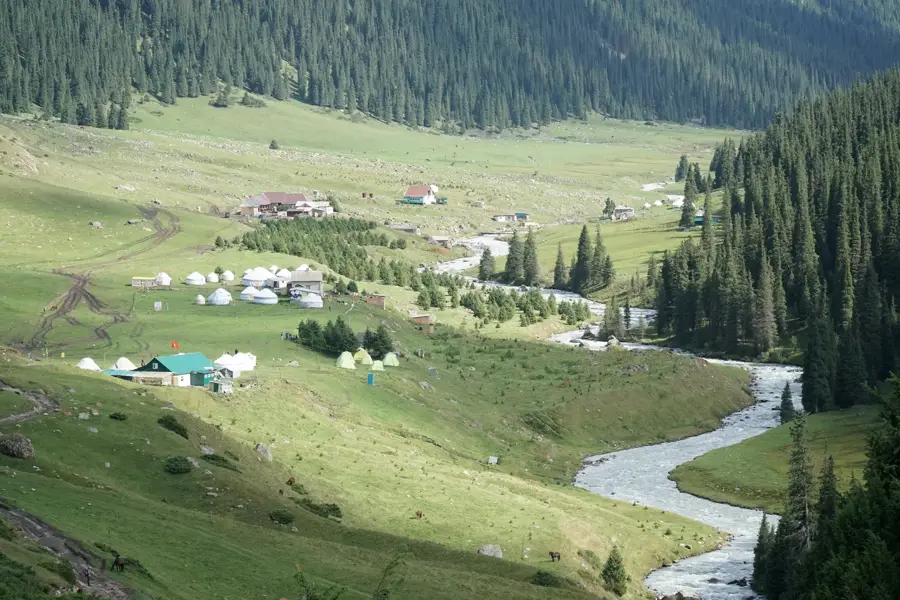
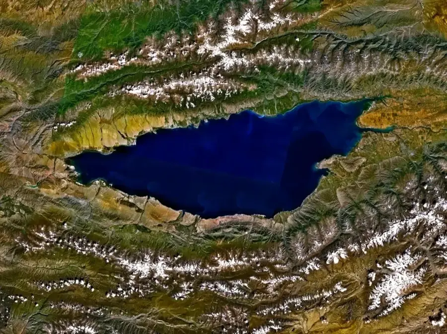
- Nearby: Engilchek Glacier (39 km)
Best time to visit & climate
The most pleasant time to visit is Jun–Aug.
| Jan | Feb | Mar | Apr | May | Jun | Jul | Aug | Sep | Oct | Nov | Dec | |
|---|---|---|---|---|---|---|---|---|---|---|---|---|
| Avg °C | -17 | -15 | -10 | -3 | 1 | 4 | 6 | 6 | 1 | -4 | -10 | -15 |
| Rain mm | 5 | 7 | 9 | 18 | 28 | 36 | 34 | 36 | 26 | 12 | 10 | 6 |
📋 Practical info
Geography
Facts
- Official height including the glacial cap reaches 7,010 meters.
- It is the northernmost 7,000-meter mountain peak on Earth.
- Located at the tripoint of Kyrgyzstan, Kazakhstan, and China.
- Its name translates to "Lord of the Spirits" in local languages.
- Globally renowned for its nearly perfect marble pyramid shape.
- First successfully summited by Mikhail Pogrebetsky in 1931.
Explore nearby
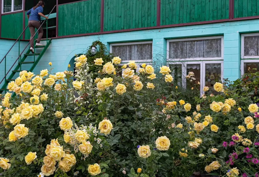
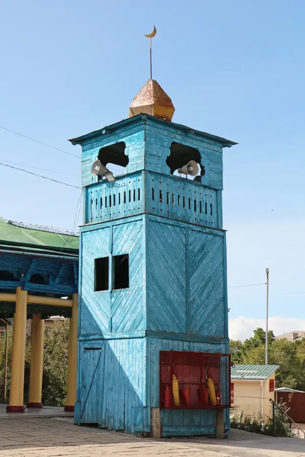
Notable places around
Route planner — Car & Motorhome
Where do you start? We build the route here, with stops and country notes along the way.
© OpenStreetMap contributors · OpenRouteService
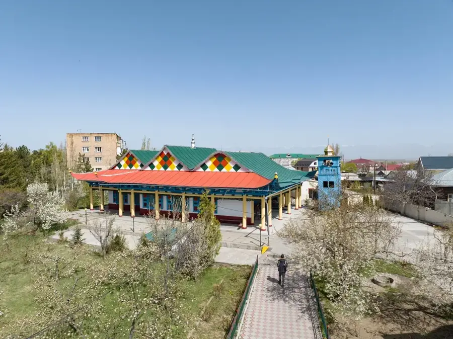
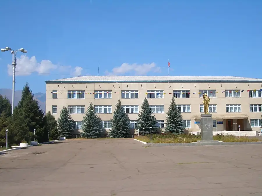
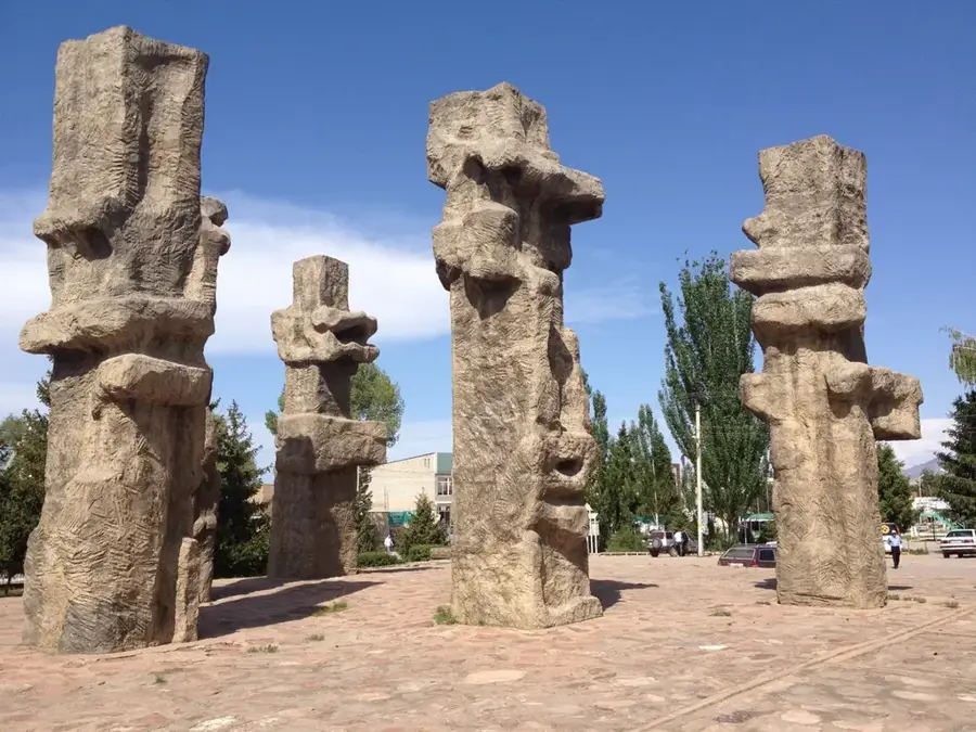
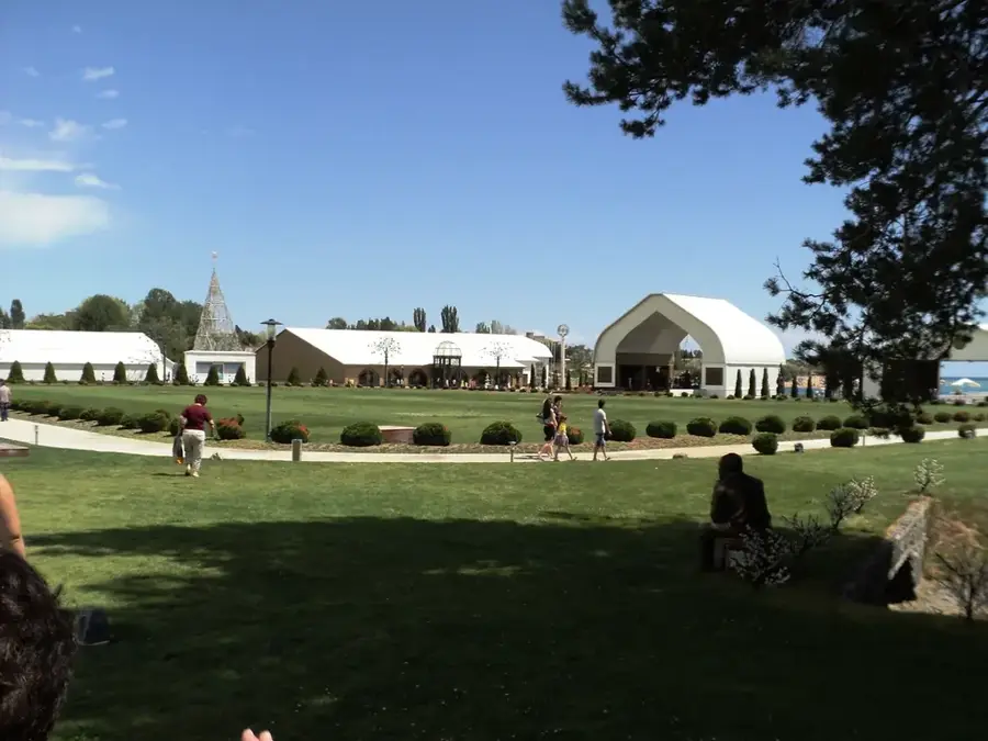
Sights in the town Khan Tengri (3)
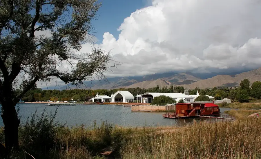
Sights nearby
Frequently asked questions
How high is Khan Tengri?
What does the name Khan Tengri mean?
Why does the mountain glow reddish?
Where is the base camp located?
On which border is the summit located?
Khan Tengri: where is it located?
Khan Tengri: what is there to see?
Khan Tengri: when is the best time to visit?
Khan Tengri: why is it worth visiting?

Nearby cities
History & landmarks
Nature

More places