Plizio Visual Lab
Kungey Ala-Too
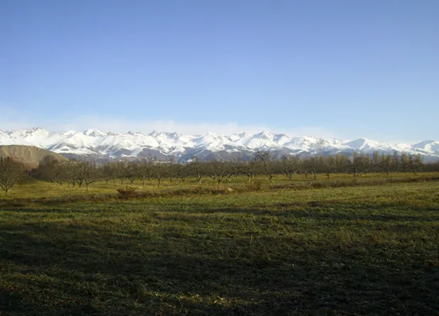
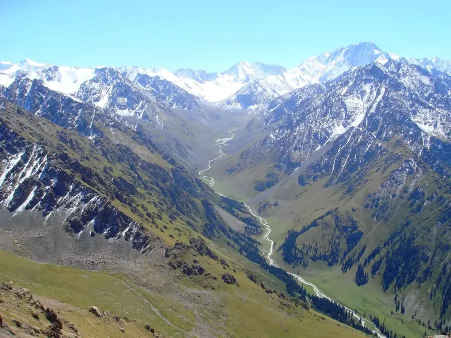
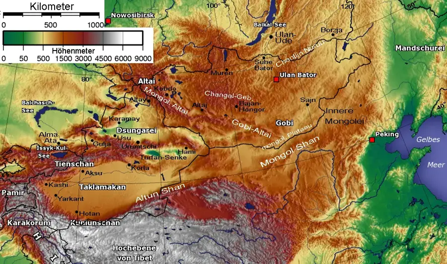
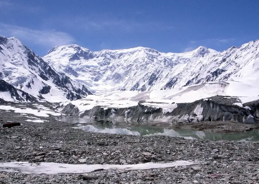
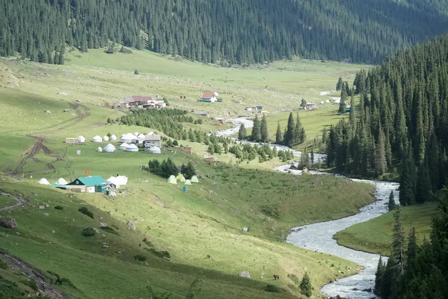
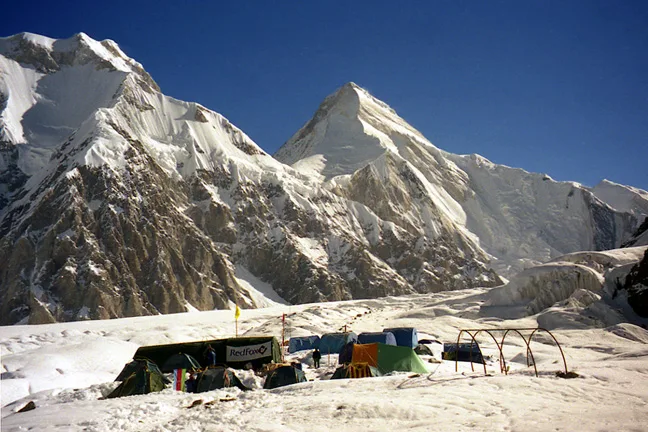
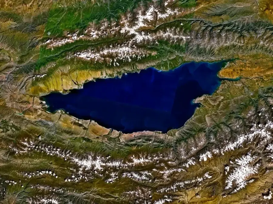
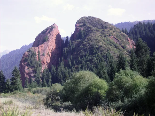
The Kungey Ala-Too, whose name beautifully translates to "Sunny Mountains" in Kyrgyz, is a majestic mountain range that extends along the entire northern shore of Lake Issyk-Kul. It serves as a massive natural barrier forming the border between Kyrgyzstan and Kazakhstan, effectively shielding the lake basin from freezing northern winds and sustaining the region's uniquely mild microclimate. The absolute highest point of this rugged range is Chok-Tal Peak, reaching an elevation of 4,771 meters. In stark contrast to the shady, heavily forested slopes of the southern Terskey Ala-Too, the Kungey range is characterized by its sun-drenched, expansive alpine meadows and steep, rocky ridges. The mountains are deeply carved by several spectacular gorges, most notably the Grigorievka and Semenovka gorges, which are among the most popular tourist destinations in the area. For trekking enthusiasts, the historic mountain passes over the Kungey Ala-Too provide classic, multi-day hiking routes that connect Almaty in Kazakhstan directly down to the warm, crystal-clear waters of Issyk-Kul.
- Location: Kyrgyzstan
- Nearby: Balykchy (37 km)
Best time to visit & climate
The most pleasant time to visit is Jun–Aug.
| Jan | Feb | Mar | Apr | May | Jun | Jul | Aug | Sep | Oct | Nov | Dec | |
|---|---|---|---|---|---|---|---|---|---|---|---|---|
| Avg °C | -9 | -6 | 1 | 5 | 10 | 15 | 17 | 17 | 12 | 5 | -2 | -7 |
| Rain mm | 21 | 27 | 44 | 72 | 61 | 44 | 30 | 23 | 20 | 37 | 37 | 27 |
📋 Practical info
Geography
Facts
- Extends continuously along the entire northern shore of Lake Issyk-Kul.
- The name literally translates to "Sunny Mountains" in the Kyrgyz language.
- Forms the rugged natural state border between Kyrgyzstan and Kazakhstan.
- Acts as a massive shield protecting the lake from cold northern winds.
- Chok-Tal Peak is the highest elevation in the range at 4,771 meters.
- Contains highly popular tourist gorges including Grigorievka and Semenovka.
Explore nearby
Notable places around
Route planner — Car & Motorhome
Where do you start? We build the route here, with stops and country notes along the way.
© OpenStreetMap contributors · OpenRouteService
Sights nearby
Frequently asked questions
Where is the Küngej-Alatau mountain range located?
What outdoor activities are popular here?
Are there mountain lakes in Küngej-Alatau?
Is a permit required for proximity to the border?
How is the climate compared to the south shore?
Kungey Ala-Too: where is it located?
Kungey Ala-Too: when is the best time to visit?
Kungey Ala-Too: why is it worth visiting?

Nearby cities
History & landmarks
Nature

More places