Plizio Visual Lab
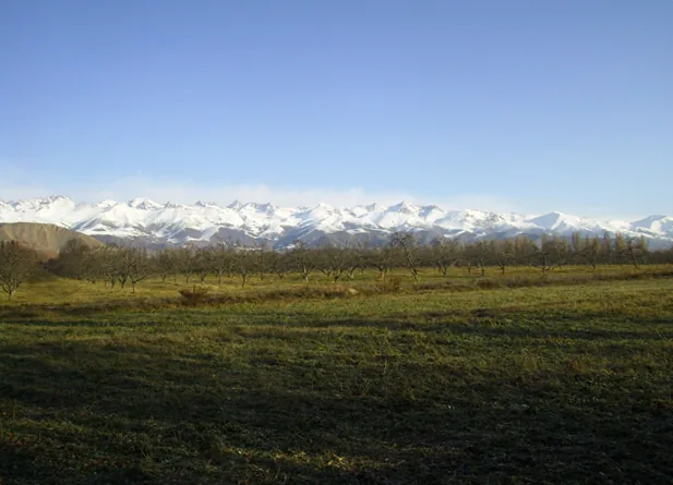
Tien Shan
Weather…
Water temperature…
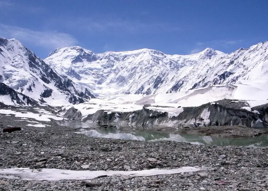
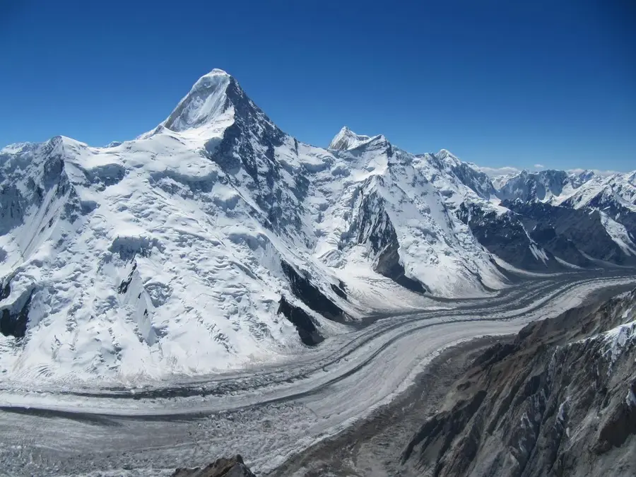
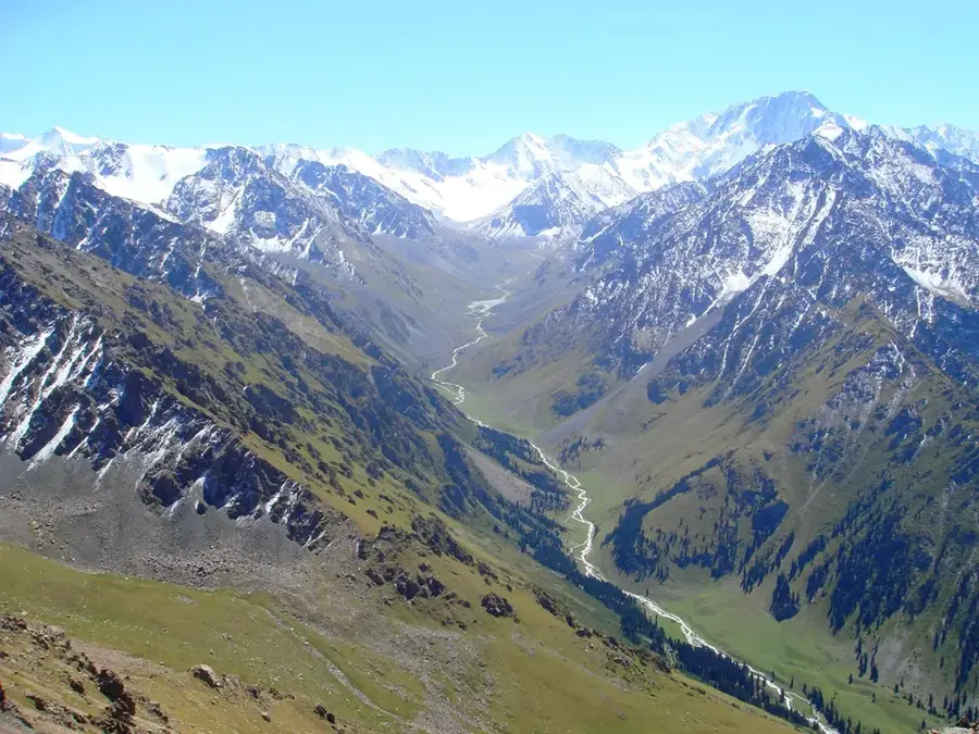
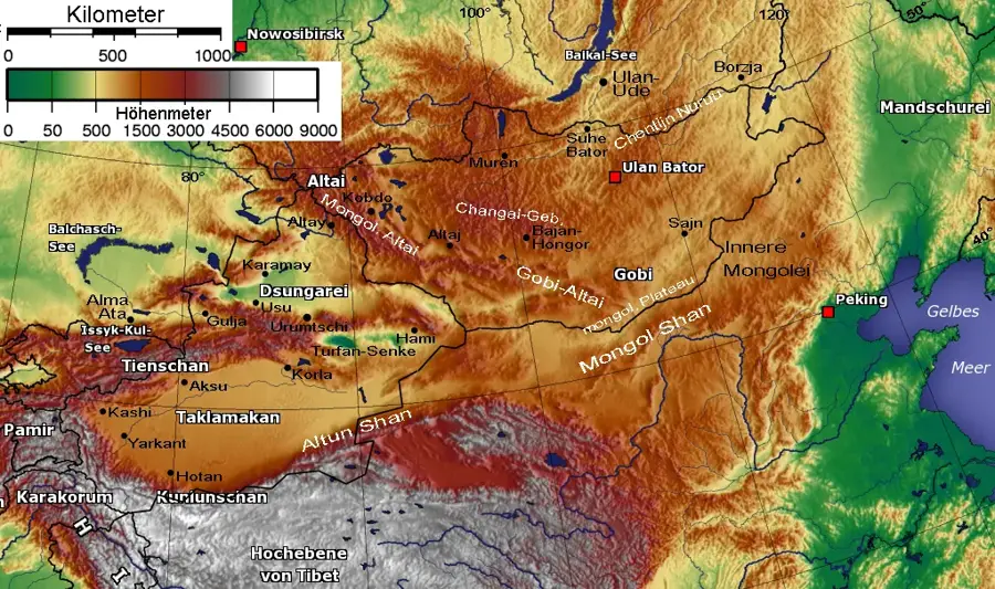
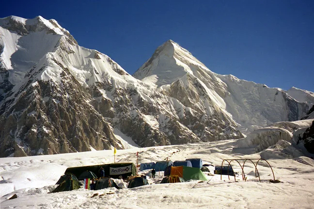
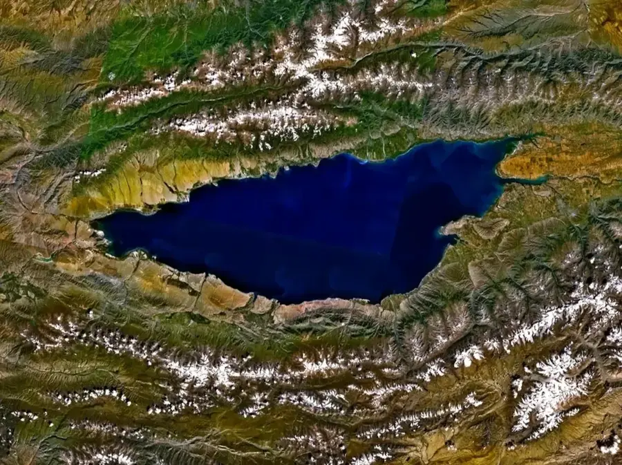
The Tian Shan, often translated as the 'Celestial Mountains,' is one of the largest mountain systems in Central Asia, stretching approximately 2500 kilometers across Kyrgyzstan, Kazakhstan, Uzbekistan, and China. In Kyrgyzstan, the range covers nearly 80 percent of the land area, fundamentally shaping the nation's geography and climate. The system's highest peak is Jengish Chokusu (Victory Peak) at 7439 meters, followed by the iconic Khan Tengri at 7010 meters. The range was formed by tectonic movements during the Cenozoic era and is characterized by deep valleys and massive glacial systems. The Inylchek Glacier, one of the longest glaciers outside the polar regions, is a key feature of the eastern part of the range. Historically, the Tian Shan presented a formidable challenge to travelers along the Silk Road, requiring the negotiation of high-altitude passes. In 2016, Western Tien-Shan was inscribed on the UNESCO World Heritage list for its outstanding natural beauty and significant biodiversity, including rare species like the snow leopard.
- Location: Kyrgyzstan
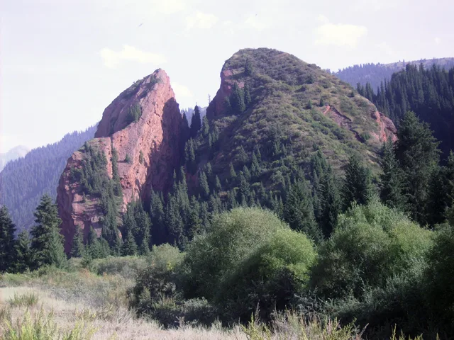
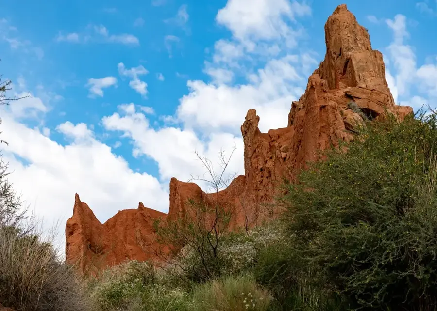
- Top sights: Ptitsa · zhandarm Sfinks · Lager' 5
- Nearby: Engilchek Glacier (33 km)
Best time to visit & climate
The most pleasant time to visit is Jun–Aug.
| Jan | Feb | Mar | Apr | May | Jun | Jul | Aug | Sep | Oct | Nov | Dec | |
|---|---|---|---|---|---|---|---|---|---|---|---|---|
| Avg °C | -17 | -15 | -10 | -3 | 1 | 4 | 6 | 6 | 1 | -4 | -10 | -15 |
| Rain mm | 5 | 7 | 9 | 18 | 28 | 36 | 34 | 36 | 26 | 12 | 10 | 6 |
📋 Practical info
Geography
Facts
- The total length of the mountain system is around 2500 kilometers.
- Jengish Chokusu (Victory Peak) is the highest summit at 7439 meters.
- The range accounts for roughly 80% of the territory of Kyrgyzstan.
- There are more than 6500 glaciers across the entire Tian Shan system.
- The Inylchek Glacier is approximately 60 kilometers long.
- Western Tien-Shan was added to the UNESCO World Heritage list in 2016.
Explore nearby
Notable places around
Route planner — Car & Motorhome
Where do you start? We build the route here, with stops and country notes along the way.
© OpenStreetMap contributors · OpenRouteService
Sights in the town Tien Shan (3)
Sights nearby
Frequently asked questions
What does the name Tien-Shan mean?
Which are the highest peaks?
Is mountaineering possible for beginners?
What equipment is necessary?
When is the best time for expeditions?
Tien Shan: where is it located?
Tien Shan: what is there to see?
Tien Shan: when is the best time to visit?
Tien Shan: why is it worth visiting?

Nearby cities

History & landmarks

Nature


More places