Plizio Visual Lab
Jengish Chokusu
Weather…
Water temperature…
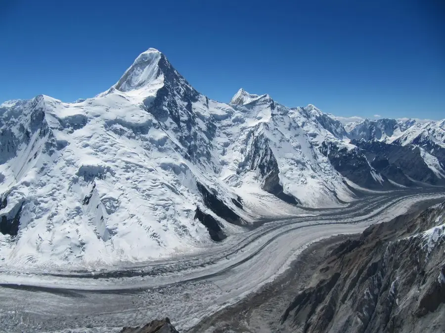
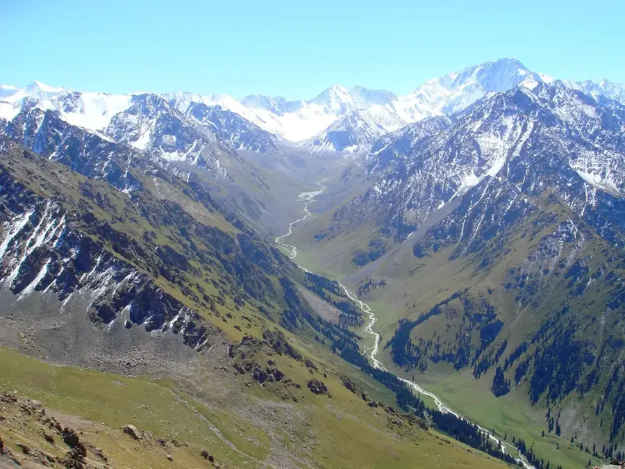
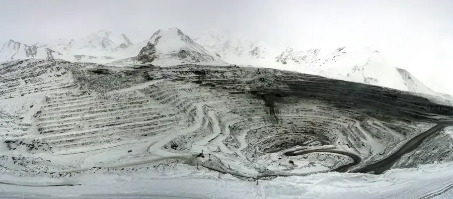
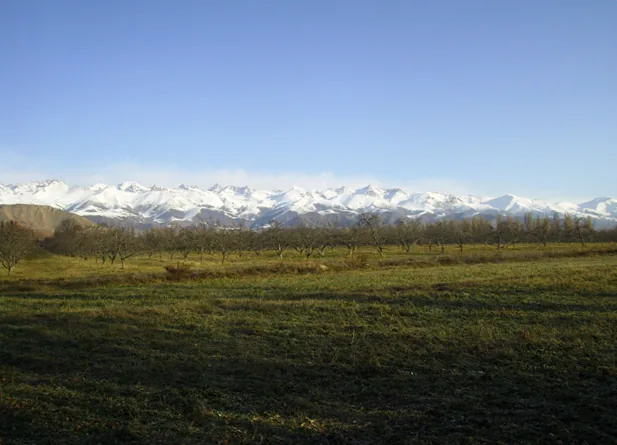
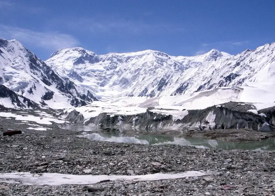
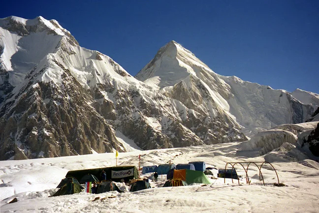
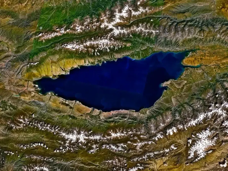
Jengish Chokusu, also widely known by its Russian name Peak Pobeda (Victory Peak), is the highest mountain in Kyrgyzstan and the entire Tian Shan mountain system, reaching an elevation of 7,439 meters. This massive, heavily glaciated peak lies directly on the international border between Kyrgyzstan and China, forming a formidable natural barrier. The mountain was officially named Pobeda in 1946 to commemorate the Soviet Union's victory in the Second World War, and was later translated to Jengish Chokusu after Kyrgyz independence. It is notoriously recognized as one of the most dangerous and technically demanding 7,000-meter peaks in the world, plagued by ferocious winds, unpredictable severe weather, and high avalanche risk. The colossal glaciers flowing from its slopes, including parts of the South Inylchek Glacier system, are critical components of Central Asia's hydrology. The first indisputably successful ascent was completed in 1956 by a robust Soviet mountaineering team led by Vitaly Abalakov. Today, summiting this treacherous giant remains the ultimate and most perilous test for climbers seeking the prestigious Snow Leopard mountaineering award.
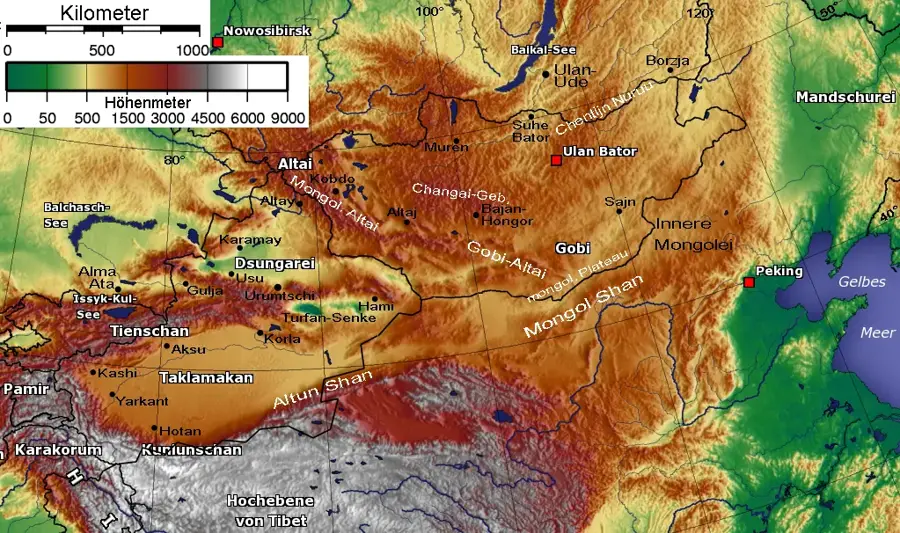
- Location: Kyrgyzstan
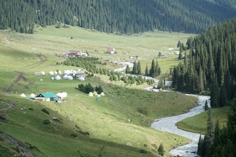
- Nearby: Engilchek Glacier (34 km)
Best time to visit & climate
The most pleasant time to visit is Jun–Aug.
| Jan | Feb | Mar | Apr | May | Jun | Jul | Aug | Sep | Oct | Nov | Dec | |
|---|---|---|---|---|---|---|---|---|---|---|---|---|
| Avg °C | -17 | -15 | -10 | -3 | 1 | 4 | 6 | 6 | 1 | -4 | -10 | -15 |
| Rain mm | 5 | 7 | 9 | 18 | 28 | 36 | 34 | 36 | 26 | 12 | 10 | 6 |
📋 Practical info
Geography
Facts
- Reaches a maximum elevation of 7,439 meters above sea level.
- It is the highest peak in Kyrgyzstan and the Tian Shan range.
- Located directly on the international border with China.
- Successfully summited for the first time by a Soviet team in 1956.
- Considered the most dangerous peak for the Snow Leopard award.
- Its massive glaciers feed crucial river systems in Central Asia.
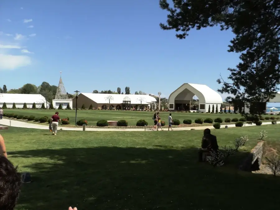
Explore nearby
Notable places around
Route planner — Car & Motorhome
Where do you start? We build the route here, with stops and country notes along the way.
© OpenStreetMap contributors · OpenRouteService
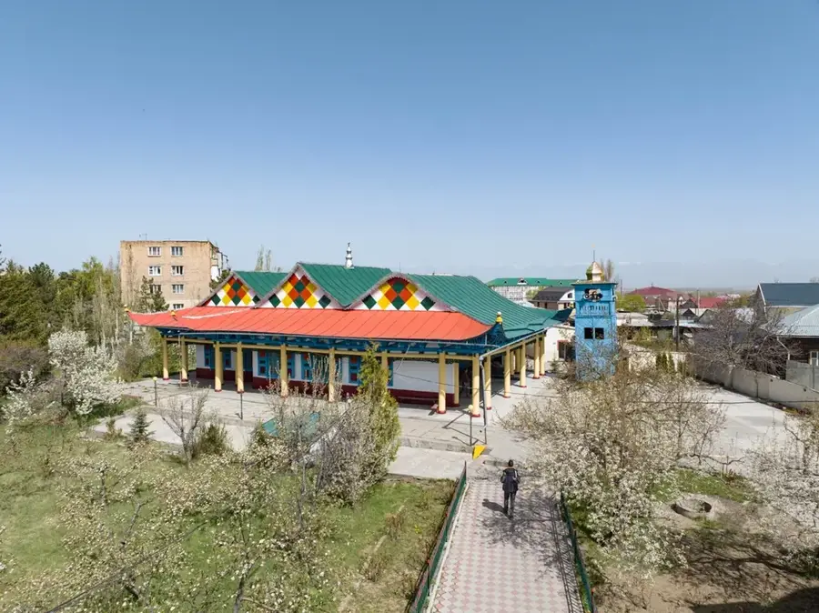
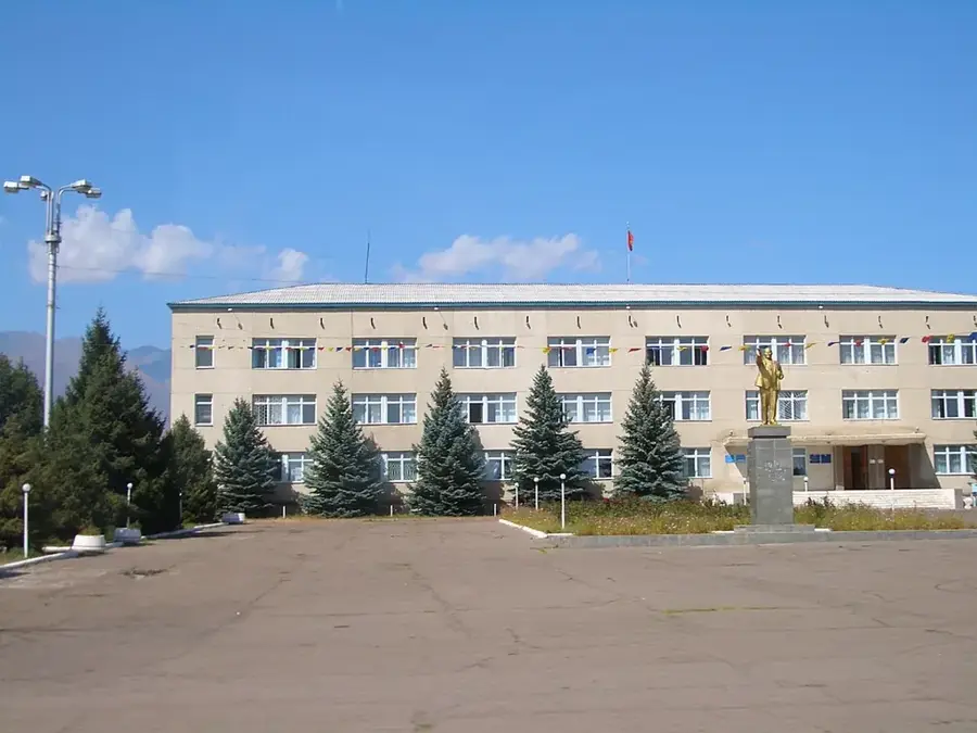
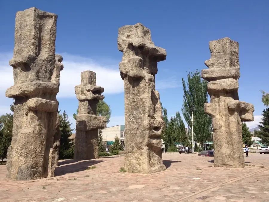
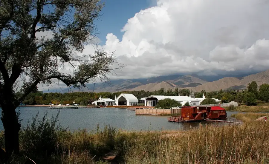
Sights in the town Jengish Chokusu (1)
Sights nearby
Frequently asked questions
How high is Jengish Chokusu (Pik Pobedy)?
Is the mountain considered difficult to climb?
In which mountain range is it located?
When was the first ascent?
What is the weather like at the summit?
Jengish Chokusu: where is it located?
Jengish Chokusu: when is the best time to visit?
Jengish Chokusu: why is it worth visiting?

Nearby cities
History & landmarks
Nature

More places