Plizio Visual Lab
Syrt Plateau

Weather…
Water temperature…
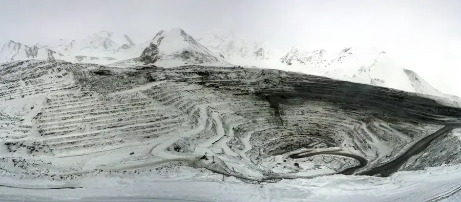
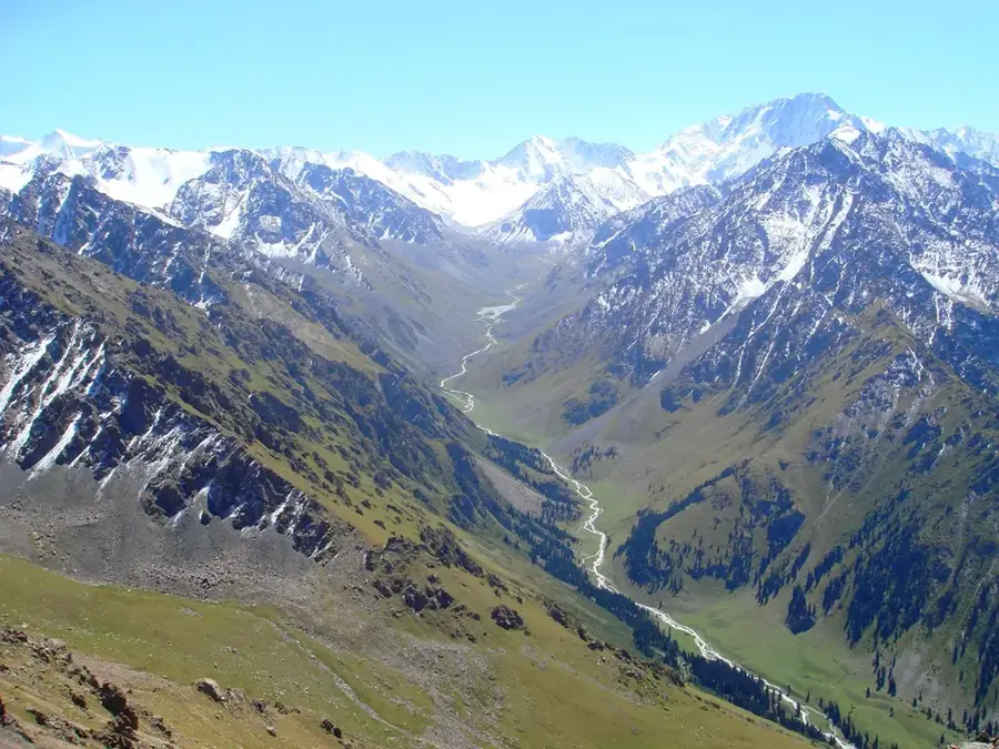
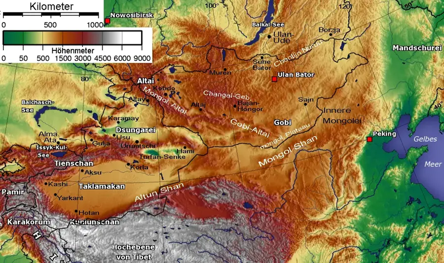
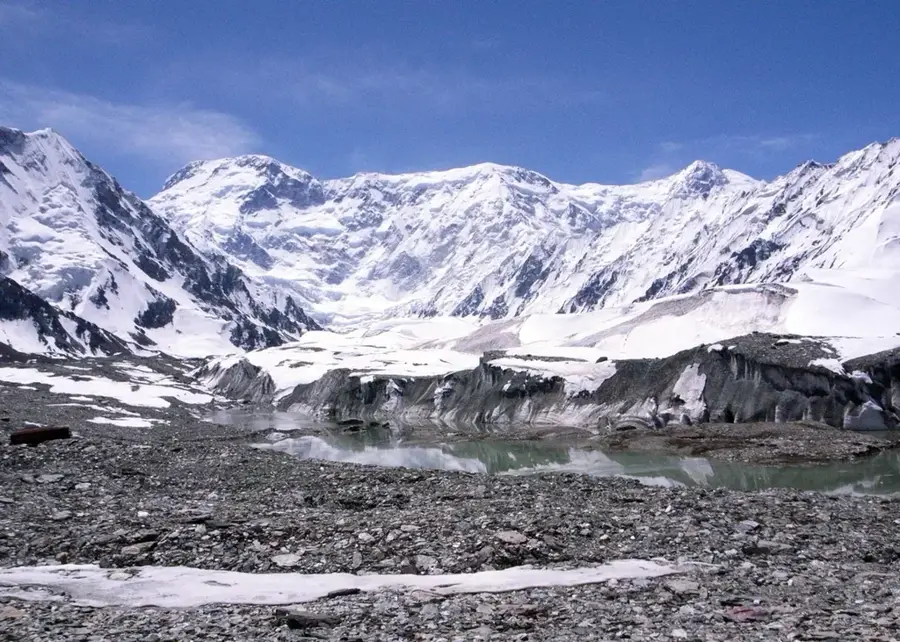
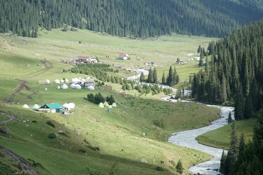
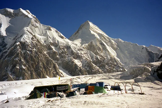
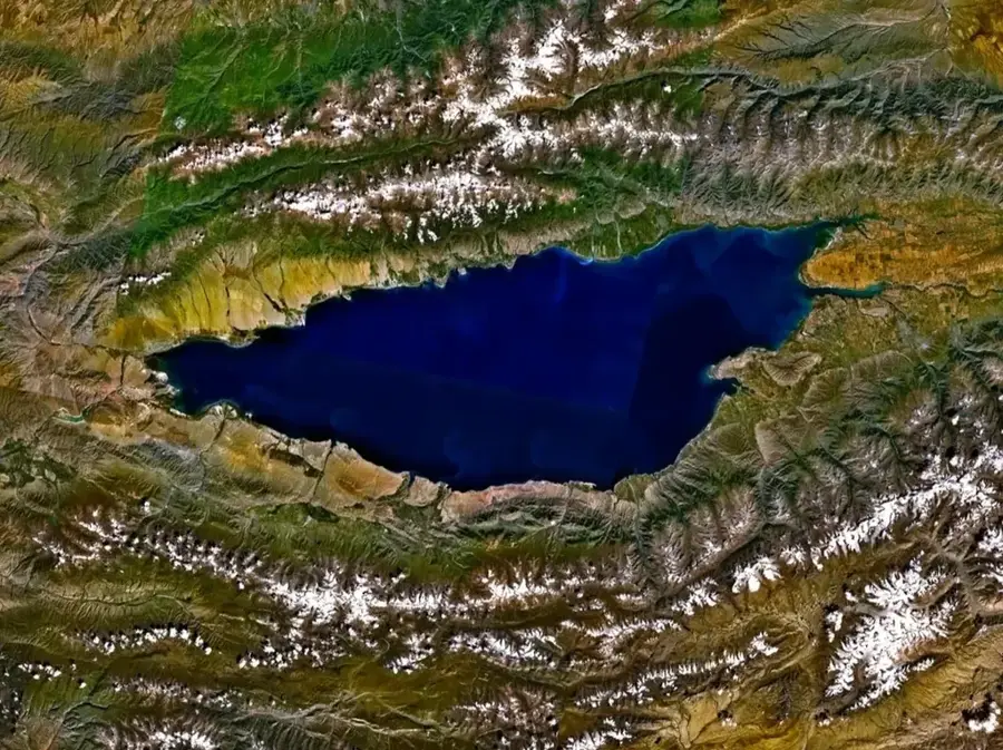
The Syrt Plateaus, whose name literally translates to "high back" or "outer border" in Kyrgyz, are massive, freezing, undulating high-altitude plains located deep within the internal Tian Shan mountain system. These stark and barren highlands lie mostly along the borders of the Issyk-Kul and Naryn regions, sitting at extreme elevations between 3,500 and 4,000 meters. The landscape is fundamentally shaped by deep, permanent permafrost and strongly resembles a harsh polar tundra, intersected by slow-moving glaciers, shallow alpine bogs, and countless icy streams. Because of the utterly unforgiving climate, absolutely no trees grow here; the sparse vegetation consists strictly of highly resilient lichens, mosses, and short alpine grasses. Nevertheless, the Syrts are of immense ecological and hydrological significance: they act as the crucial source of the Naryn River, the country's most important waterway, which eventually feeds the mighty Syr Darya. During the exceptionally brief summer, only the hardiest nomads bring their yaks and sheep to graze on these endless plateaus, while the brutal, long winter renders the region entirely impassable and hostile to human life.
- Location: Kyrgyzstan
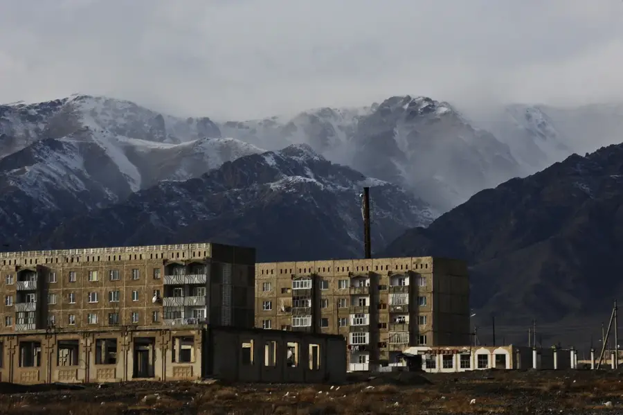
- Nearby: Karakol (48 km)
Best time to visit & climate
The most pleasant time to visit is Jun–Aug.
| Jan | Feb | Mar | Apr | May | Jun | Jul | Aug | Sep | Oct | Nov | Dec | |
|---|---|---|---|---|---|---|---|---|---|---|---|---|
| Avg °C | -18 | -16 | -10 | -3 | 1 | 4 | 7 | 6 | 1 | -4 | -11 | -16 |
| Rain mm | 4 | 9 | 12 | 24 | 39 | 47 | 49 | 54 | 38 | 14 | 10 | 6 |
📋 Practical info
Geography
Facts
- The term "Syrt" translates literally to "high back" in the Kyrgyz language.
- Massive, freezing high-altitude plateaus sitting at 3,500 to 4,000 meters.
- The stark landscape closely resembles a completely treeless polar tundra.
- The terrain is fundamentally defined by deep permafrost and shallow bogs.
- Serves as the crucial headwaters for the Naryn River, the country's longest.
- Visited only during the brief summer by extremely hardy nomads with yaks.
Explore nearby
Notable places around
Route planner — Car & Motorhome
Where do you start? We build the route here, with stops and country notes along the way.
© OpenStreetMap contributors · OpenRouteService
Sights in the town Syrt Plateau (1)
Sights nearby
Frequently asked questions
What is the Syrt Plateau?
What is the economic importance of the plateau?
What is the vegetation like on the plateau?
Is the plateau accessible to tourists?
Are there lakes on the plateau?
Syrt Plateau: where is it located?
Syrt Plateau: when is the best time to visit?
Syrt Plateau: why is it worth visiting?

Nearby cities
History & landmarks
Nature


More places