Plizio Visual Lab
Butaritari Wetlands

Weather…
Water temperature…
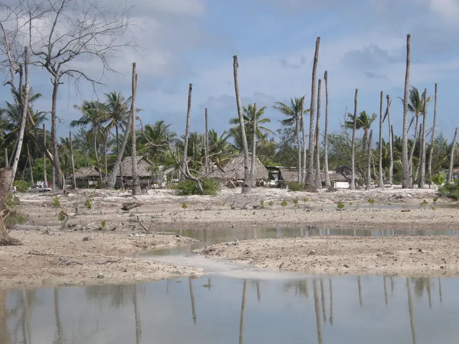
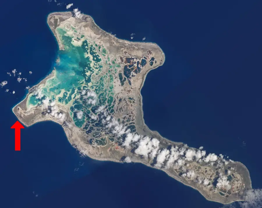
Butaritari stands out as the wettest atoll in Kiribati, receiving significantly more rainfall than the arid islands to the south. This abundance of fresh water has created an environment of lush wetlands and extensive mangrove forests, which are rare in the central Pacific. These mangroves act as a vital natural filter, trapping sediments and runoff to maintain the crystal-clear water required for healthy coral reefs. The intricate root systems serve as a nursery for a vast array of juvenile marine species, providing shelter from larger predators. Culturally, the wetlands are essential for the cultivation of 'Babai' (giant swamp taro), grown in deep pits that rely on the consistent rainfall. Observing the mudskippers, fish that can spend time on land, is a highlight for nature enthusiasts visiting the area. The ecosystem is a delicate balance of land and sea, crucial for both the biodiversity of the atoll and the food security of the local community.
- Location: Kiribati
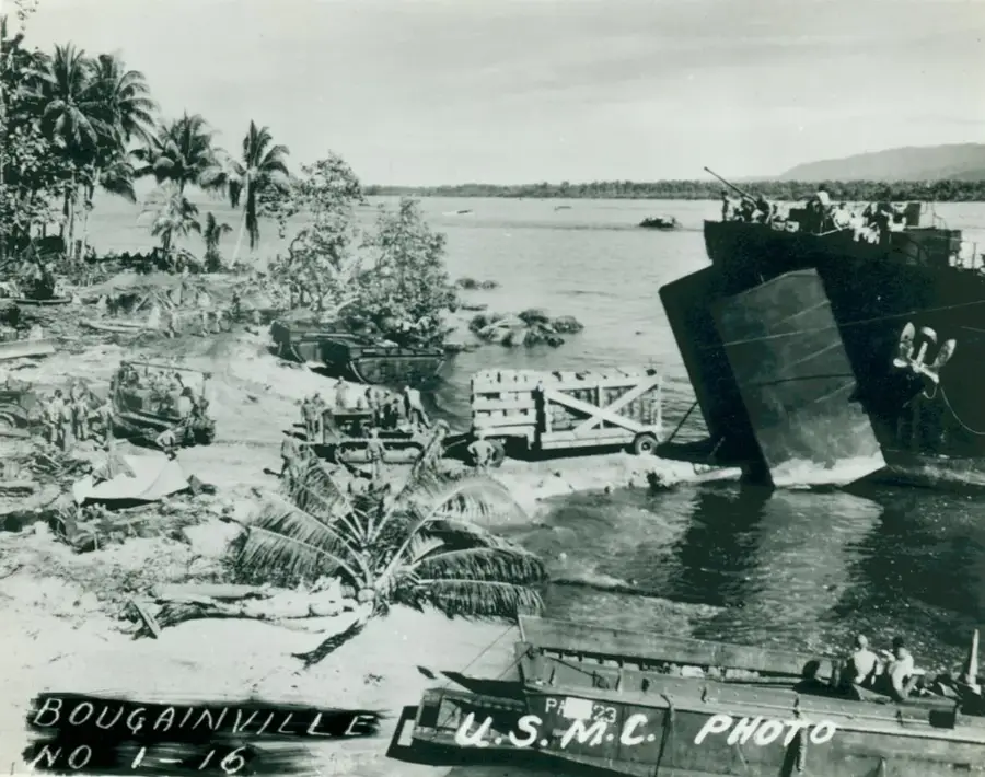
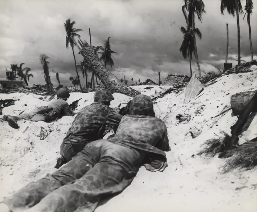
- Top sights: Butaritari · Raid on Makin Island
- Nearby: Butaritari Atoll (8 km)
Best time to visit & climate
The most pleasant time to visit is Sep–Nov.
| Jan | Feb | Mar | Apr | May | Jun | Jul | Aug | Sep | Oct | Nov | Dec | |
|---|---|---|---|---|---|---|---|---|---|---|---|---|
| Avg °C | 28 | 28 | 28 | 28 | 28 | 28 | 28 | 28 | 28 | 28 | 28 | 28 |
| Rain mm | 225 | 186 | 296 | 273 | 205 | 239 | 208 | 163 | 145 | 137 | 146 | 236 |
📋 Practical info
Geography
Facts
- Wetland area: 15 km²
- Mangrove cover: 5 km²
- Taro production: 200 tons annually
- Bird species: 40
- Atoll population: 4,000
- Average water depth: 1 m
Explore nearby
Notable places around
Route planner — Car & Motorhome
Where do you start? We build the route here, with stops and country notes along the way.
© OpenStreetMap contributors · OpenRouteService
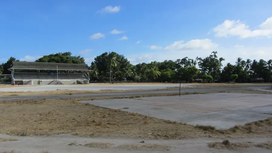
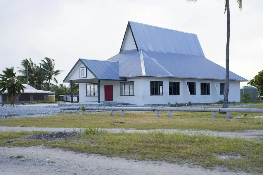
Sights in the town Butaritari Wetlands (2)
Sights nearby
Frequently asked questions
Why is Butaritari known for its wetlands?
What plants grow in the mangrove swamps?
Are there mosquitoes in the wetlands?
Can you fish in the mangroves?
What is the best way to explore the wetlands?
Butaritari Wetlands: where is it located?
Butaritari Wetlands: what is there to see?
Butaritari Wetlands: when is the best time to visit?
Butaritari Wetlands: why is it worth visiting?

Nearby cities


History & landmarks
Nature
More places