Plizio Visual Lab
Temwaiku
ℹ️Practical info — Temwaiku
▾
🌤 Weather — 5 days
📍 Nearby
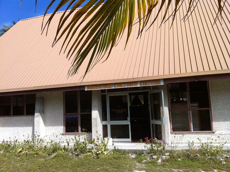
Sights nearby
💡 Tips
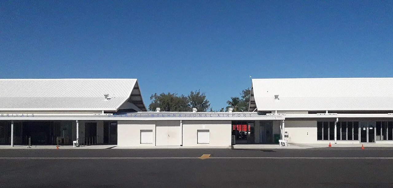
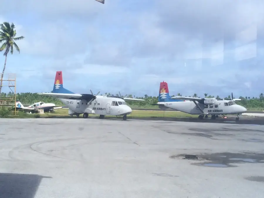
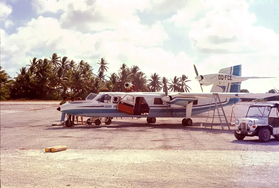
- Being close to Bonriki Airport, this area is a convenient first stop or a place to stay before your flight out.
- Mosquitoes can be very persistent, especially at dawn and dusk. Always use strong repellent and sleep under a net.
- Walk carefully on the narrow main roads, as the settlement is rapidly growing and quite densely populated.
- Check the local tide schedules before exploring the coastal mudflats extending towards the eastern end of the atoll.
- Bring a reusable water bottle with a built-in filter, as access to safe drinking water can be challenging.
🍽 Food
A starchy, satisfying local staple often prepared over open fires by village families.
The sweet, freshly collected sap of the coconut blossom; ask local households to try it.
Occasionally sold directly by local fishermen returning to the shore in the late afternoon.
🛍 Shopping · 🧘 Quiet spots
Take a short trip to the nearby airport area for fresh local produce and morning fish catches.
Keep an eye out for small, handmade shell necklaces occasionally sold in front of homes.
Walk towards the easternmost point of the atoll for expansive, peaceful ocean views.
The pathways around the local milkfish ponds offer a quiet escape from the main road traffic.
Water temperature…
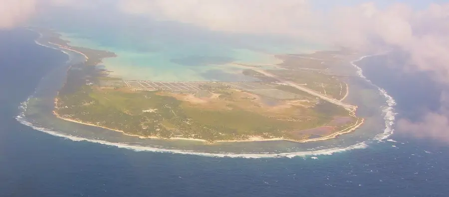
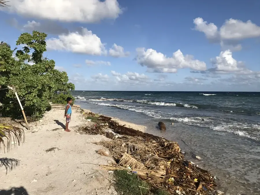
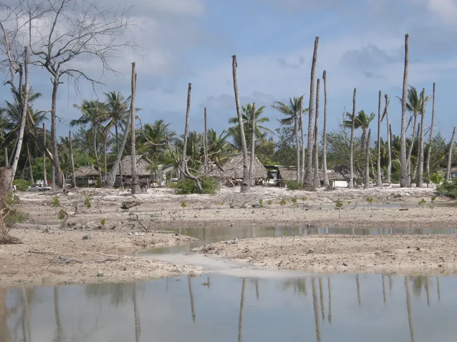
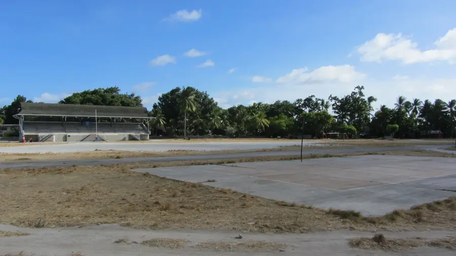
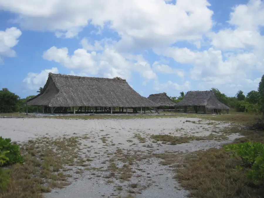
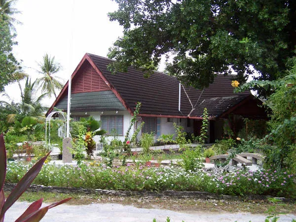
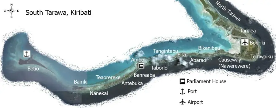
Temwaiku is situated on the eastern fringes of South Tarawa, Kiribati's capital atoll, strategically located near the Bonriki International Airport. In recent years, it has transformed into one of the nation's most significant urban expansion areas, accommodating a growing population migrating from the outer islands. Despite being located on a relatively wide section of the atoll, the community faces severe challenges due to its low elevation, making it a focal point for climate change adaptation and coastal management initiatives. The settlement is characterized by a spirited mix of traditional Kiribati dwellings and newer infrastructure developed to meet increasing housing demands. For travelers, Temwaiku provides a unique glimpse into the modern Micronesian lifestyle, away from the administrative centers. The lagoon side of the village is particularly noted for its expansive tidal flats and impressive sunset views over the shallow waters, while the ocean side bears the brunt of the Pacific waves, emphasizing the fragile nature of life on a coral atoll.
- Location: Kiribati
- Nearby: Eita (7 km)
- Population: ~5.504
Best time to visit & climate
The most pleasant time to visit is Sep–Nov.
| Jan | Feb | Mar | Apr | May | Jun | Jul | Aug | Sep | Oct | Nov | Dec | |
|---|---|---|---|---|---|---|---|---|---|---|---|---|
| Avg °C | 28 | 28 | 28 | 28 | 28 | 28 | 28 | 28 | 28 | 28 | 28 | 28 |
| Rain mm | 212 | 157 | 220 | 171 | 103 | 136 | 119 | 107 | 92 | 95 | 95 | 208 |
Geography
Facts
- Population: 2,500 (2020)
- Area: 0.4 km²
- Number of small farms: 20
- Distance to Bairiki center: 6 km
- Rainfall: 1,600 mm/year
- Average temperature: 28°C
Explore nearby
Notable places around
Route planner — Car & Motorhome
Where do you start? We build the route here, with stops and country notes along the way.
© OpenStreetMap contributors · OpenRouteService
Sights in the town Temwaiku (1)
Frequently asked questions
Where is Temwaiku located?
Are there beaches there?
What is the infrastructure like?
Can Temwaiku be reached by bus?
Are there any shops?
Temwaiku: where is it located?
Temwaiku: when is the best time to visit?
Temwaiku: why is it worth visiting?

Nearby cities


History & landmarks

Nature
More places