Plizio Visual Lab
Bikenibeu
ℹ️Practical info — Bikenibeu
▾
🌤 Weather — 5 days
📍 Nearby
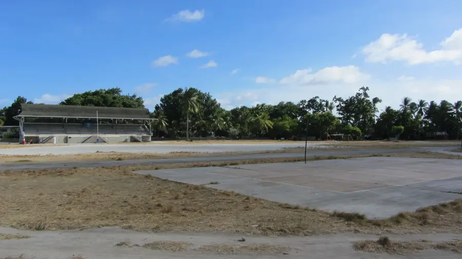
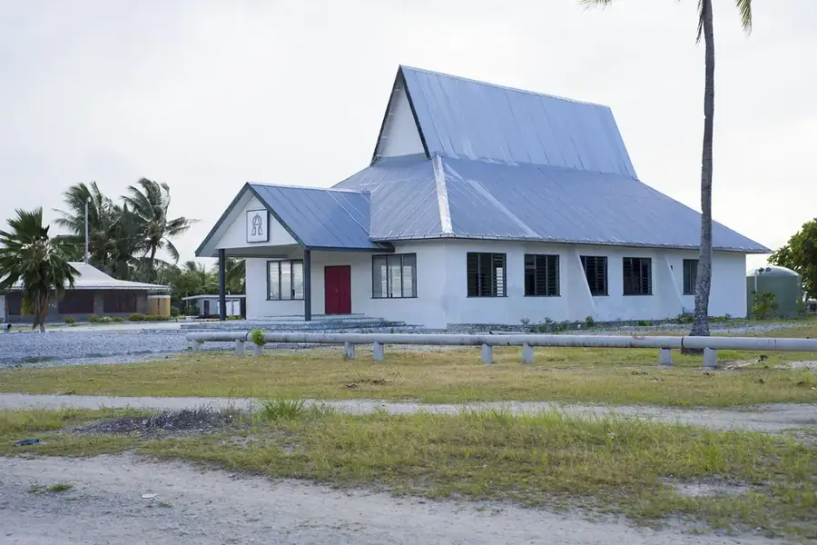
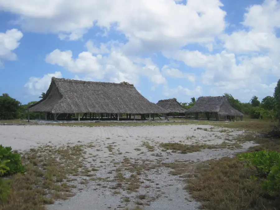
Sights nearby
💡 Tips
- The area around the hospital is often busy; expect a bit more minibus traffic here.
- Dress modestly, especially when walking through residential parts (cover knees and shoulders).
- Minibuses are the best way to get around; simply wave from the roadside to stop one.
- Cash is king; ensure you have enough Australian Dollars (AUD) on hand.
🍽 Food
A cheap and filling staple found at small canteens near the hospital.
Try seasonal breadfruit dishes at local community gatherings or street stands.
Look for this traditional root vegetable served at family-run eateries.
🛍 Shopping · 🧘 Quiet spots
Handcrafted pieces often sold by local women's groups along the main road.
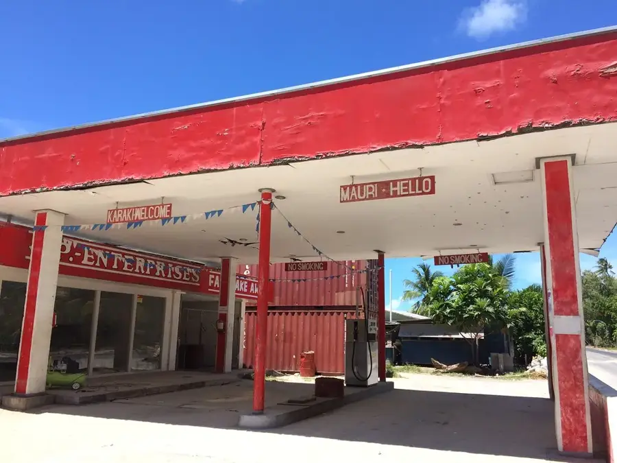
Small roadside shops provide daily basics and local snacks.
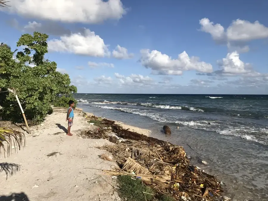
The lagoon side has calm, shallow waters handy for a peaceful walk.
Rest under the coconut palms away from the main road traffic.
Water temperature…
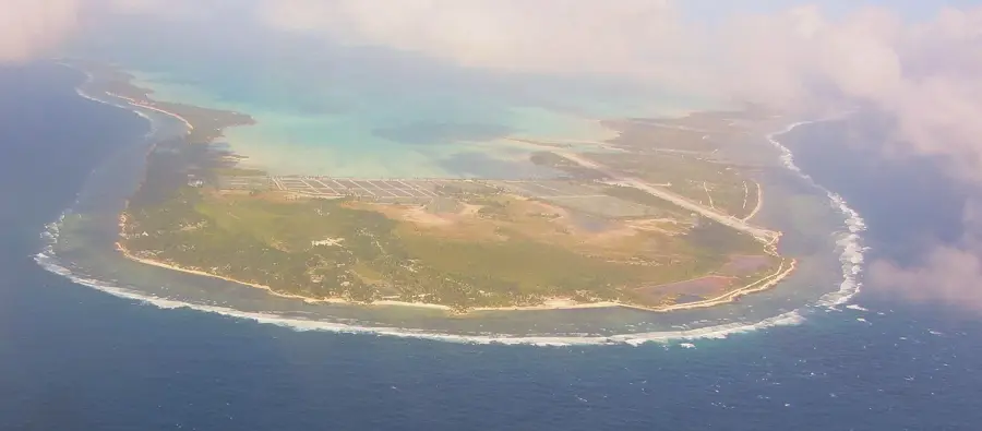
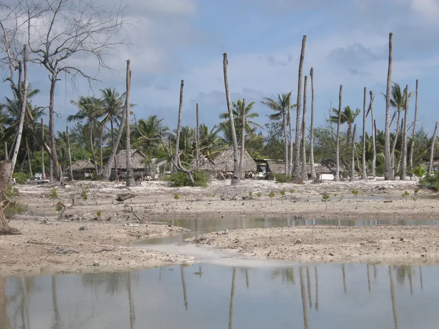
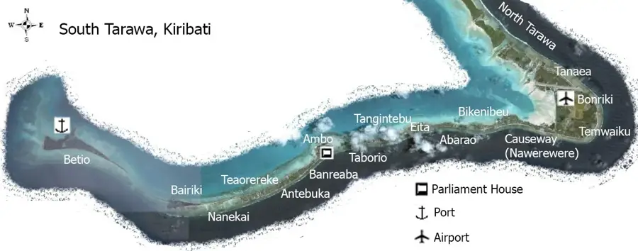
Bikenibeu is one of the most significant settlements in Kiribati, located in the southeastern part of the South Tarawa atoll. It serves as a vital administrative and service hub for the nation, housing the Tungaru Central Hospital, which is the country's primary medical facility. The Ministry of Education is also headquartered here, making Bikenibeu a cornerstone of Kiribati's social and intellectual infrastructure. With a population exceeding 7,000, the area is densely settled along the narrow strip of coral land between the calm lagoon and the Pacific Ocean. Daily life in Bikenibeu revolves around government services, fishing, and community gatherings. For visitors, the settlement provides an authentic look at modern Micronesian life, showcasing the resilience of a community living on a fragile atoll. It is a place where traditional customs meet the necessities of a modern capital, forming the heartbeat of South Tarawa's eastern reaches.
- Location: Kiribati
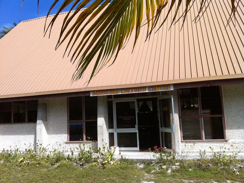
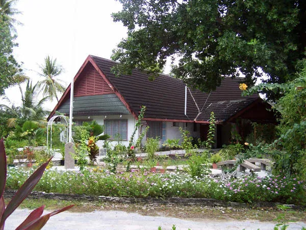
- Top sights: Kiribati National Museum and Cultural Centre · Main port · Maneaban te kukurei
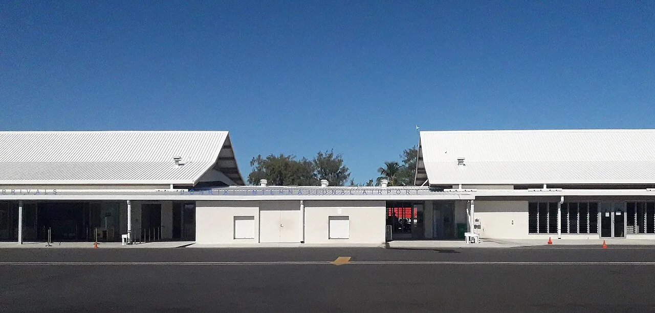
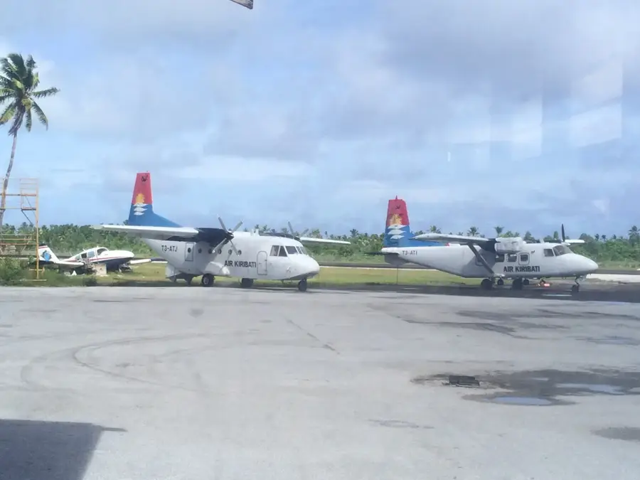
- Nearby: Bonriki (4 km)
- Population: ~7.547
Best time to visit & climate
The most pleasant time to visit is Sep–Nov.
| Jan | Feb | Mar | Apr | May | Jun | Jul | Aug | Sep | Oct | Nov | Dec | |
|---|---|---|---|---|---|---|---|---|---|---|---|---|
| Avg °C | 28 | 28 | 28 | 28 | 28 | 28 | 28 | 28 | 28 | 28 | 28 | 28 |
| Rain mm | 212 | 157 | 220 | 171 | 103 | 136 | 119 | 107 | 92 | 95 | 95 | 208 |
Geography
Facts
- Population: 7,000 (2020)
- Distance to Bairiki: 5 km
- Number of educational institutions: 3
- Area: about 1 km²
- Highest point: 2 m
- Established: 1950s
Explore nearby
Notable places around
Route planner — Car & Motorhome
Where do you start? We build the route here, with stops and country notes along the way.
© OpenStreetMap contributors · OpenRouteService
Sights in the town Bikenibeu (3)
Frequently asked questions
What is the main attraction in Bikenibeu?
Are there shopping opportunities?
What is the atmosphere like in Bikenibeu?
Can you swim in the lagoon?
Are there restaurants in Bikenibeu?
Bikenibeu: where is it located?
Bikenibeu: what is there to see?
Bikenibeu: when is the best time to visit?
Bikenibeu: why is it worth visiting?

Nearby cities


History & landmarks

Nature
More places