Plizio Visual Lab
Eita
ℹ️Practical info — Eita
▾
🌤 Weather — 5 days
📍 Nearby
Sights nearby
💡 Tips
- The lagoon edge is beautiful at sunset; it is a great time for photography.
- This is primarily a residential area; always ask for permission before taking photos of locals.
- During king tides, water can splash right onto the main road; watch your step.
- There are no major tourist facilities here; always bring your own purified water and snacks.
🍽 Food
Served with rice at small family-run canteens along the street.
Fresh or boiled sap from the coconut spathe, occasionally shared by friendly locals.
A ubiquitous island comfort food found in almost every local eatery.
🛍 Shopping · 🧘 Quiet spots
Small wooden kiosks selling everyday island essentials and cold drinks.
Sometimes sold informally straight from the front porches of local homes.
A quiet spot to watch traditional outrigger canoes in the distance at dusk.
Peaceful and shaded areas to rest, as long as no religious services are taking place.
Water temperature…
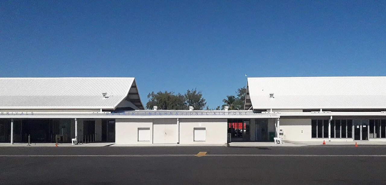
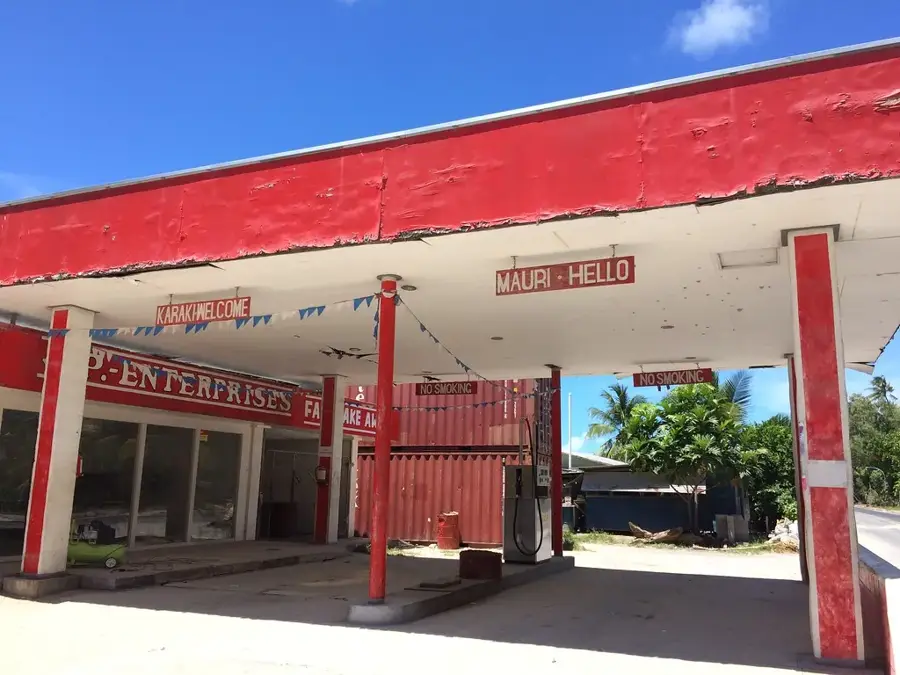
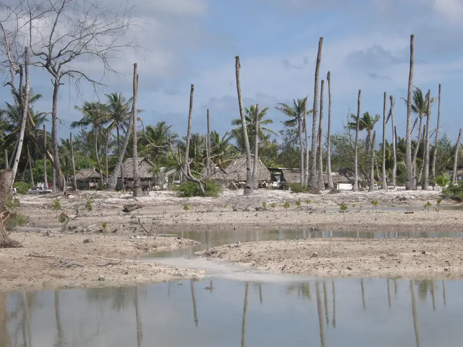
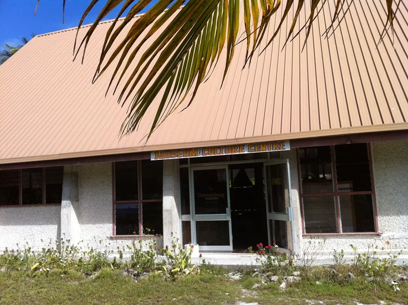
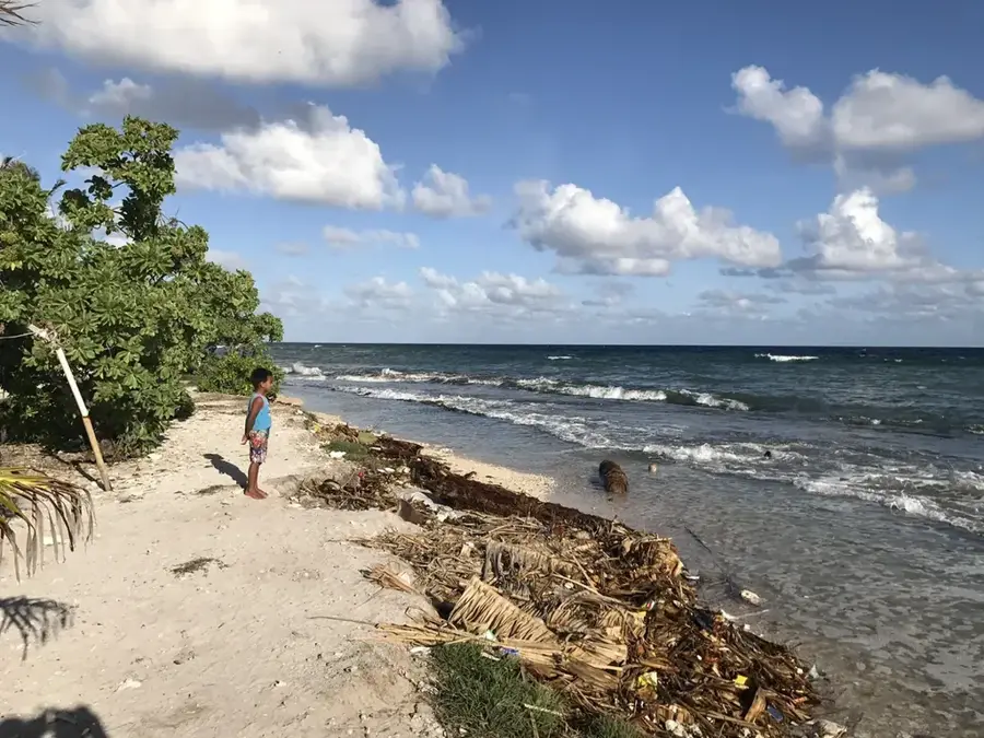
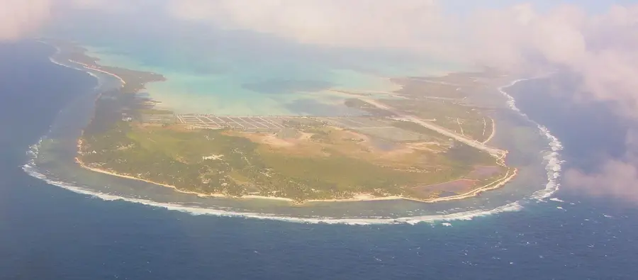
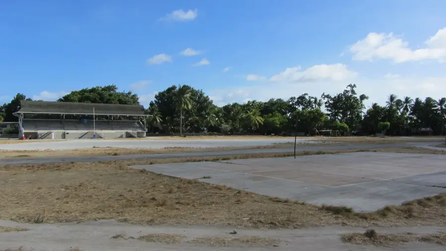
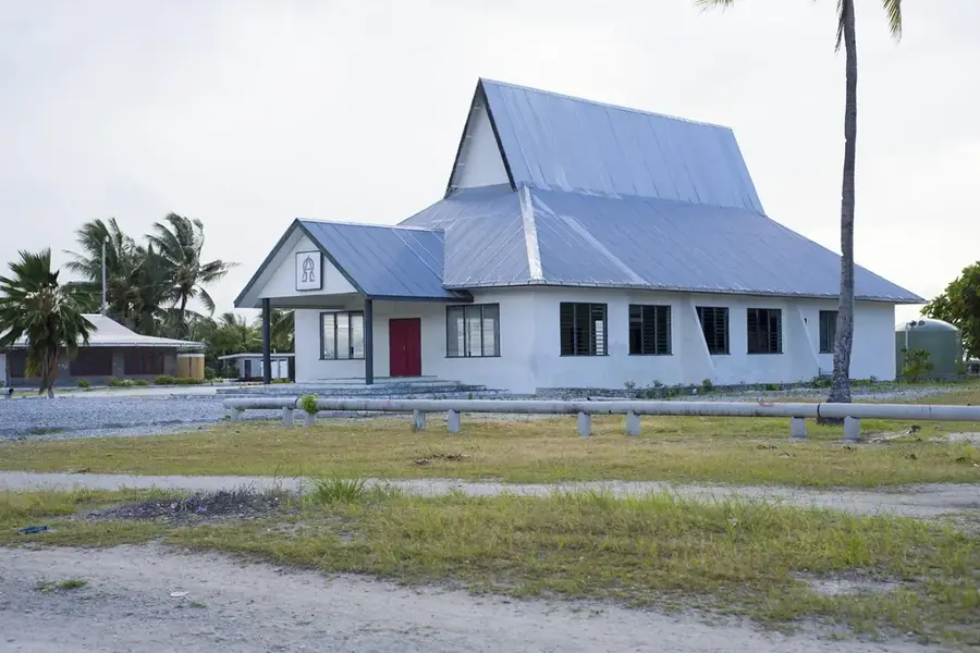
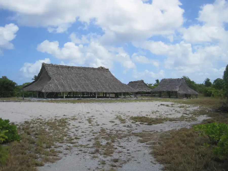
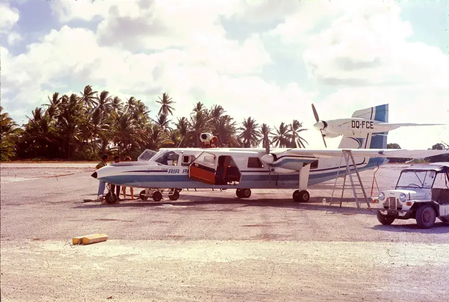
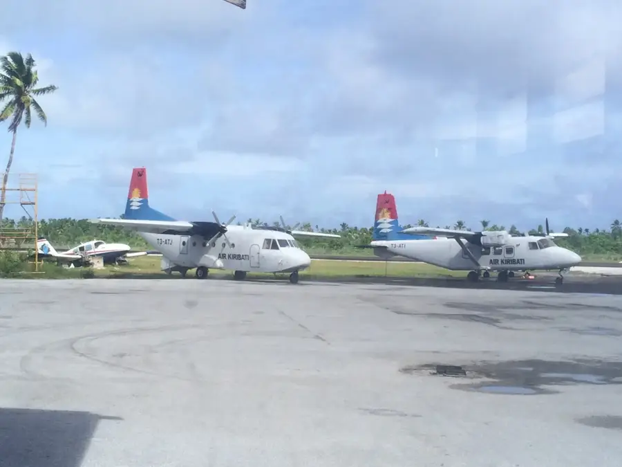
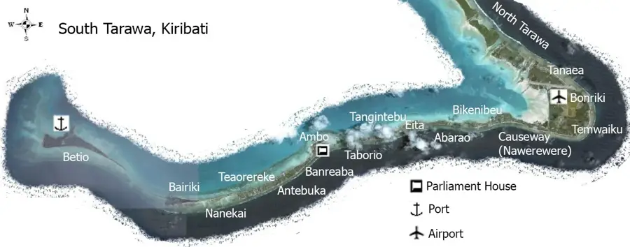
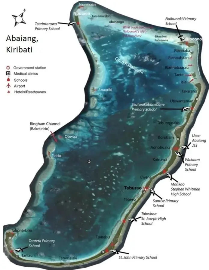
Eita is a significant village located in the central part of South Tarawa, the capital atoll of Kiribati. It is notable for having one of the longest continuous coastlines in the region, stretching along the narrow land strip between the lagoon and the ocean. Primarily a residential community, Eita serves as a home for many who commute to work in the government and commercial sectors of Bairiki and Betio. The village is an important hub for local education and hosts several community facilities. Daily life revolves around the rhythms of the sea, with coastal fishing being both a vital food source and a traditional practice passed down through generations. Eita features several 'Maneabas' (traditional meeting houses) which remain the focal point for social gatherings and local governance. Like much of Tarawa, Eita faces environmental pressures from rising sea levels and urban density, yet it maintains a strong sense of Micronesian identity and community spirit, offering a window into the lived experience of modern-day Kiribati.
- Location: Kiribati
- Nearby: Bikenibeu (4 km)
- Population: ~3.921
Best time to visit & climate
The most pleasant time to visit is Sep–Nov.
| Jan | Feb | Mar | Apr | May | Jun | Jul | Aug | Sep | Oct | Nov | Dec | |
|---|---|---|---|---|---|---|---|---|---|---|---|---|
| Avg °C | 28 | 28 | 28 | 28 | 28 | 28 | 28 | 28 | 28 | 28 | 28 | 28 |
| Rain mm | 212 | 157 | 220 | 171 | 103 | 136 | 119 | 107 | 92 | 95 | 95 | 208 |
Geography
Facts
- Population: 3,000 (2020)
- Area: 0.5 km²
- Number of schools: 1
- Length of mangrove coastline: 2 km
- Distance to capital: 2 km
- Highest point: 2 m
Explore nearby
Notable places around
Route planner — Car & Motorhome
Where do you start? We build the route here, with stops and country notes along the way.
© OpenStreetMap contributors · OpenRouteService
Frequently asked questions
What is special about Eita?
Can one buy local handicrafts there?
Are there any sights?
Is swimming safe in Eita?
How far is it to Bairiki?
Eita: where is it located?
Eita: when is the best time to visit?
Eita: why is it worth visiting?

Nearby cities


History & landmarks

Nature
More places