Plizio Visual Lab
Teaoraereke
ℹ️Practical info — Teaoraereke
▾
🌤 Weather — 5 days
📍 Nearby
Sights nearby
💡 Tips
- Flag down a passing minibus along the main road; they are the most common and affordable way to travel in South Tarawa.
- Dress modestly. Outside of designated tourist resorts, women and men should cover their shoulders and knees.
- The Sacred Heart Cathedral is a major landmark. Use it as a reference point when giving directions to drivers.
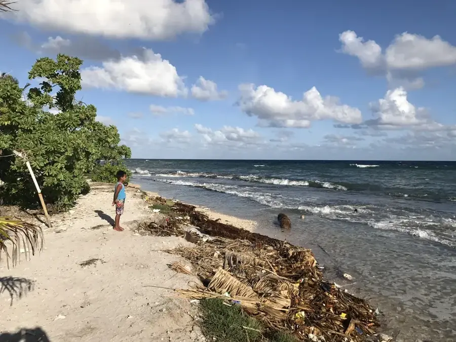
- Plan your beach walks at low tide, as high tide covers most of the sandy shores on the atoll.
- Always ask for permission before taking photos of local homes (mwea) or people.
🍽 Food
A comforting local mix of cabbage, pumpkin, and coconut milk found at roadside canteens.
A daily staple; look for small local eateries offering the catch of the day.
Buy a freshly cut green coconut from a roadside vendor to stay hydrated.
🛍 Shopping · 🧘 Quiet spots
Check the stalls near the USP campus where locals sometimes sell snacks and small crafts.
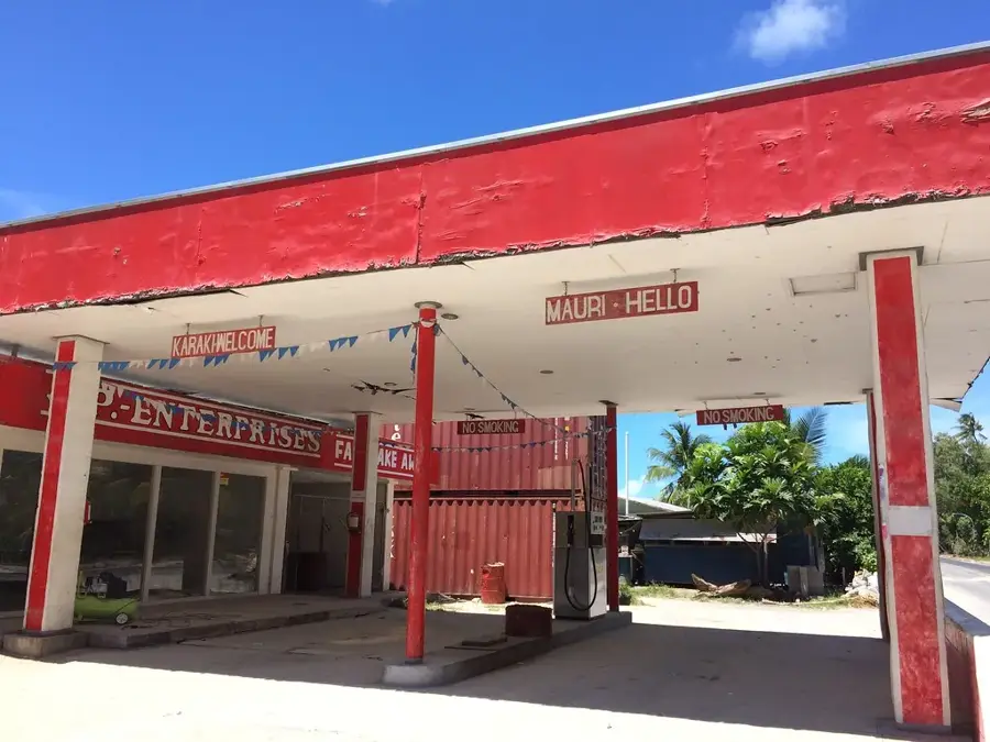
Stock up on imported Australian snacks, cold drinks, and basic supplies for your stay.
The area around the Catholic cathedral is usually peaceful and has a break from the busy main road.
At low tide, the ocean side of the village is breezy and much quieter than the lagoon side.
Water temperature…
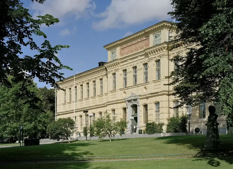
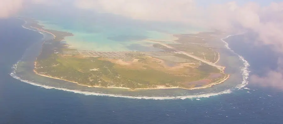
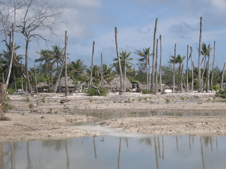
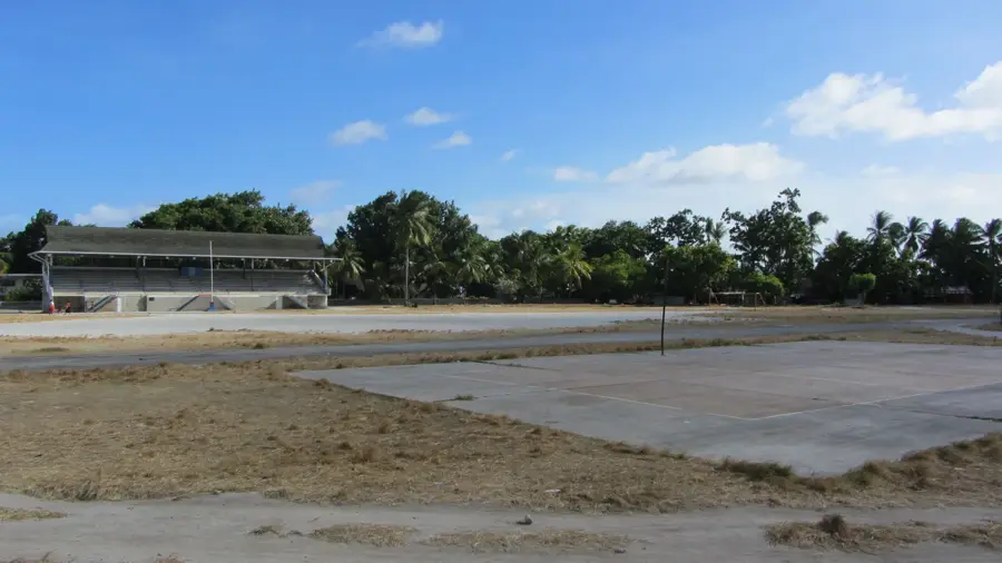
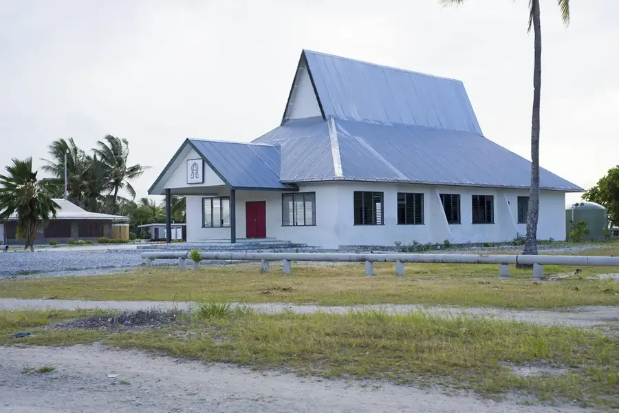
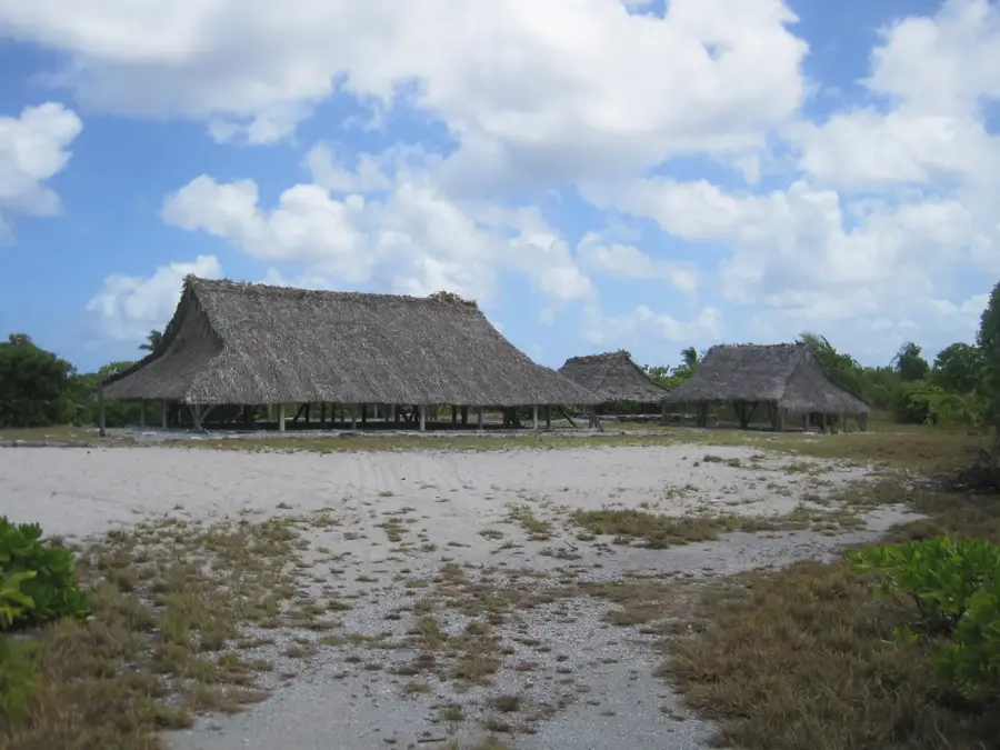
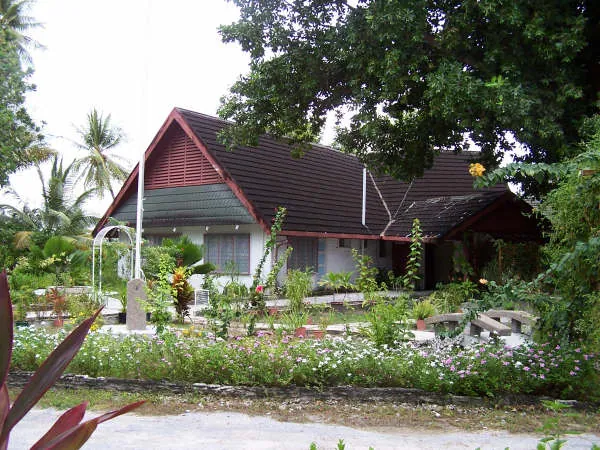
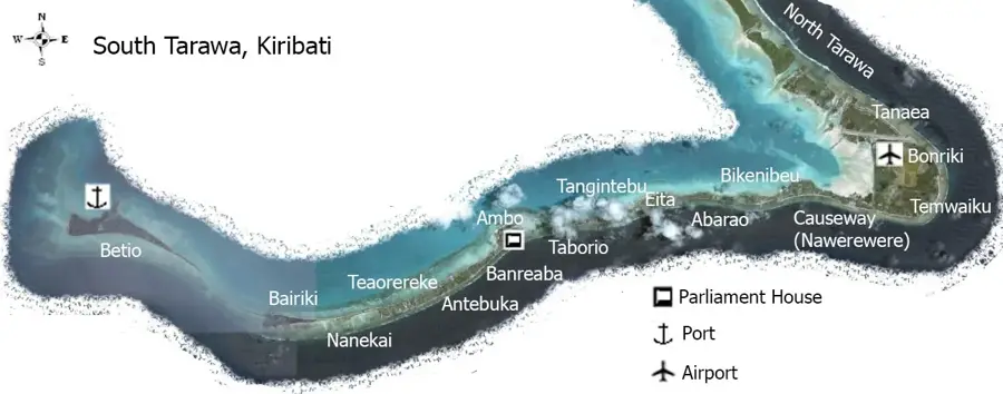
Teaoraereke is a vital urban village located in South Tarawa, serving as a significant religious and educational hub for the Republic of Kiribati. The village is home to the Sacred Heart Cathedral, the principal church of the Roman Catholic Diocese of Tarawa and Nauru, making it a focal point for the country's Catholic majority. Additionally, the settlement hosts the Kiribati campus of the University of the South Pacific (USP), which plays a crucial role in the nation's development and higher education. As the third most populous area on the atoll, Teaoraereke is characterized by a bustling atmosphere where traditional Gilbertese life blends with modern administrative functions. The social heart of the community remains the maneaba, a traditional open-air meeting house where local customs and governance take place. Like much of the low-lying atoll of Tarawa, Teaoraereke faces significant environmental challenges due to rising sea levels, highlighting the resilience of its inhabitants who maintain a lifestyle deeply connected to the ocean and community traditions.
- Location: Kiribati
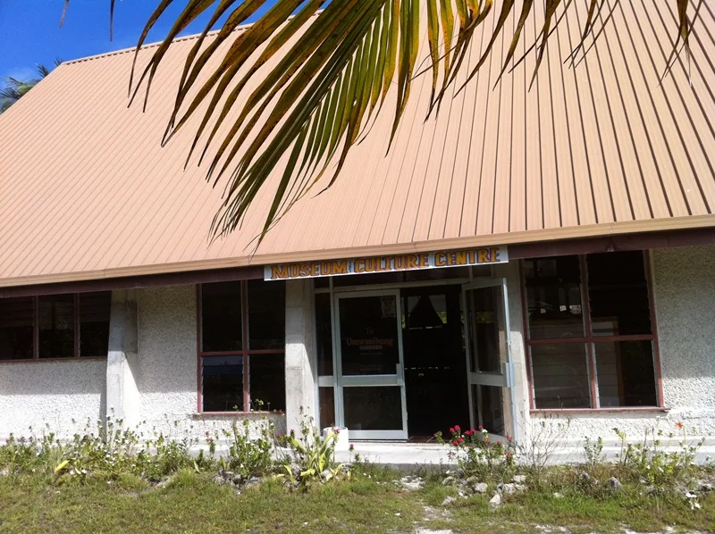
- Top sights: Sacred Heart Cathedral · Itoiningaina Handicraft Center
- Nearby: Eita (8 km)
- Population: ~6.073
Best time to visit & climate
The most pleasant time to visit is Sep–Nov.
| Jan | Feb | Mar | Apr | May | Jun | Jul | Aug | Sep | Oct | Nov | Dec | |
|---|---|---|---|---|---|---|---|---|---|---|---|---|
| Avg °C | 28 | 28 | 28 | 28 | 28 | 28 | 28 | 28 | 28 | 28 | 28 | 28 |
| Rain mm | 212 | 157 | 220 | 171 | 103 | 136 | 119 | 107 | 92 | 95 | 95 | 208 |
Geography
Facts
- Population: 5,000 (2020)
- Area: 0.8 km²
- Number of large coconut plantations: 2
- Average temperature: 28°C
- Annual rainfall: 1,800 mm
- Distance to airport: 10 km
Explore nearby
Notable places around
Route planner — Car & Motorhome
Where do you start? We build the route here, with stops and country notes along the way.
© OpenStreetMap contributors · OpenRouteService
Sights in the town Teaoraereke (2)
Frequently asked questions
What institutions are located in Teaoraereke?
What is the best way to get around?
Is there accommodation for tourists?
Is the area safe?
Are there beaches there?
Teaoraereke: where is it located?
Teaoraereke: what is there to see?
Teaoraereke: when is the best time to visit?
Teaoraereke: why is it worth visiting?

Nearby cities


History & landmarks

Nature
More places