Plizio Visual Lab
Red Beach Tarawa
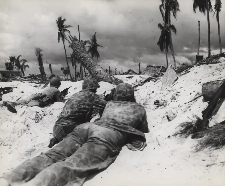
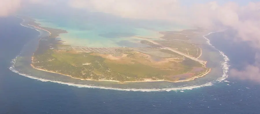
Red Beach on Tarawa Atoll is forever etched in military history as the site of one of the Pacific's most harrowing amphibious assaults during World War II. On November 20, 1943, US Marines initiated Operation Galvanic to seize the strategic airstrip on Betio Island from entrenched Japanese forces. The assault faced immediate disaster when an unpredictable neap tide left landing craft stranded on the jagged coral reef, forcing soldiers to wade hundreds of yards through waist-deep water into devastating machine-gun fire. The ensuing 76-hour battle was so intense that it fundamentally changed how the US military conducted future island-hopping campaigns. Today, the beach remains a somber memorial; rusted remains of Higgins boats and Sherman tanks still rest in the turquoise shallows, and the concrete command bunkers of the Japanese defenders stand as silent witnesses to the incredible casualties suffered on both sides.
- Location: Kiribati
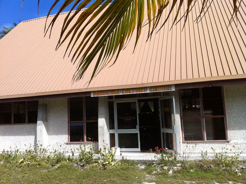
- Top sights: The Church of Jesus Christ of Latter-day Saints · Domestic Ferry Pier · SDA Betio Church
- Nearby: Bairiki Business District (6 km)
Best time to visit & climate
The most pleasant time to visit is Sep–Nov.
| Jan | Feb | Mar | Apr | May | Jun | Jul | Aug | Sep | Oct | Nov | Dec | |
|---|---|---|---|---|---|---|---|---|---|---|---|---|
| Avg °C | 28 | 28 | 28 | 28 | 28 | 28 | 28 | 28 | 28 | 28 | 28 | 28 |
| Rain mm | 212 | 157 | 220 | 171 | 103 | 136 | 119 | 107 | 92 | 95 | 95 | 208 |
📋 Practical info
Geography
Facts
- Landing date: 20 November 1943
- First day casualties: over 1,000 US soldiers
- Location: western Betio, Tarawa
- Japanese defenses: bunkers, minefields
- Name from military code
- Today: memorial site
Explore nearby
Notable places around
Route planner — Car & Motorhome
Where do you start? We build the route here, with stops and country notes along the way.
© OpenStreetMap contributors · OpenRouteService
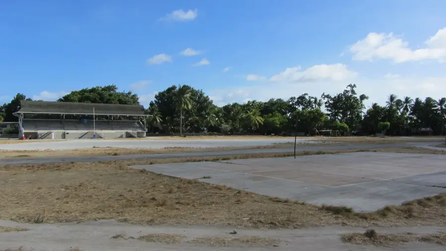
Sights in the town Red Beach Tarawa (8)
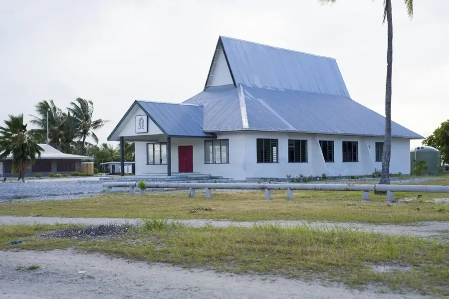
St. Paul's Millennium Church
Christian church in Tarawa serving the congregation.
LDS CHURCH
Worship building of The Church of Jesus Christ of Latter-day Saints in Tarawa.
marewen teriki
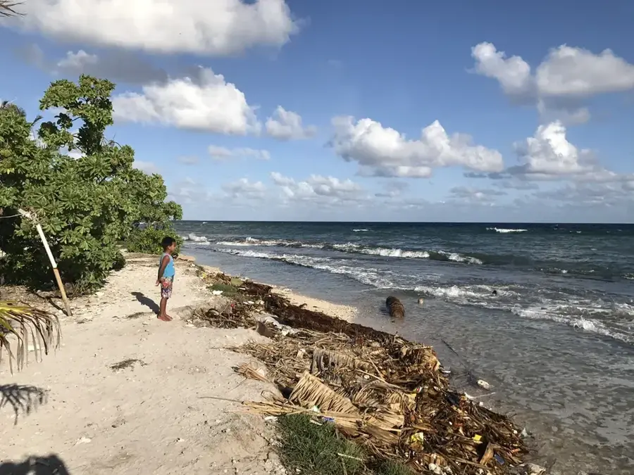
Local beach stretch in Tarawa, Kiribati.
mary's beach
Sandy beach along the Tarawa coastline, Kiribati.
Sights nearby
Frequently asked questions
What happened at Red Beach Tarawa?
Can you still see wrecks today?
Is the beach suitable for swimming?
How do I find the exact landing section?
Can I take objects from the beach?
Red Beach Tarawa: where is it located?
Red Beach Tarawa: what is there to see?
Red Beach Tarawa: when is the best time to visit?
Red Beach Tarawa: why is it worth visiting?

Nearby cities


History & landmarks

Nature
More places