Plizio Visual Lab
Abaiang Lagoon
Weather…
Water temperature…
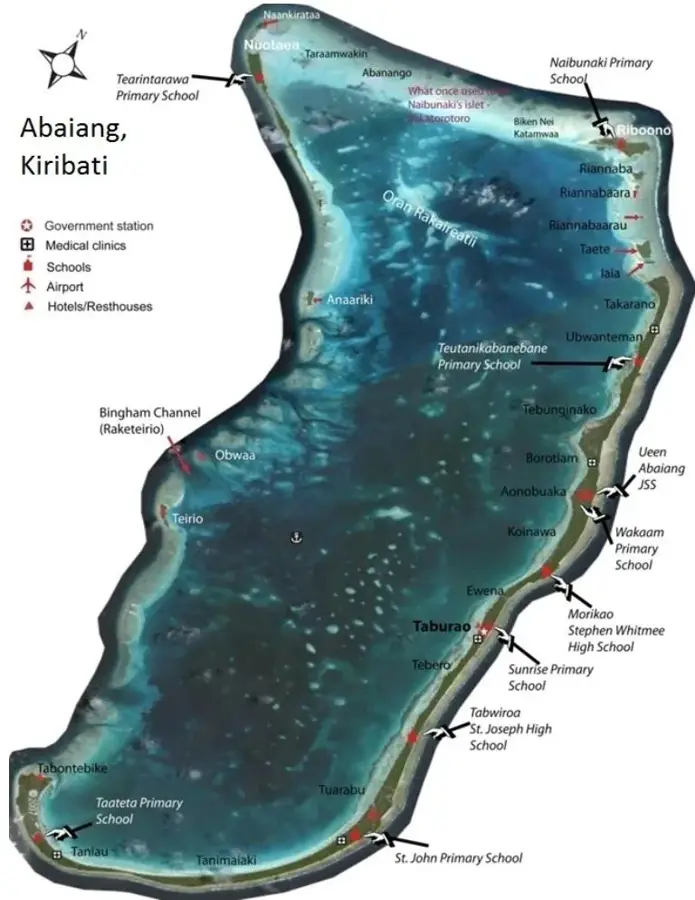
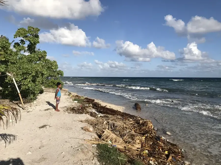
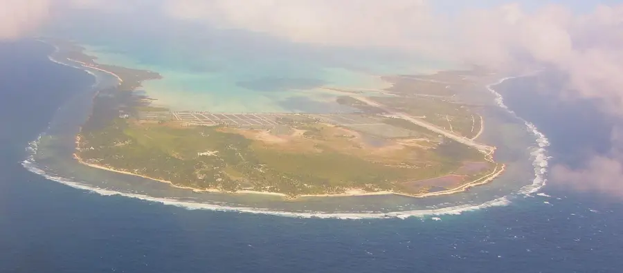
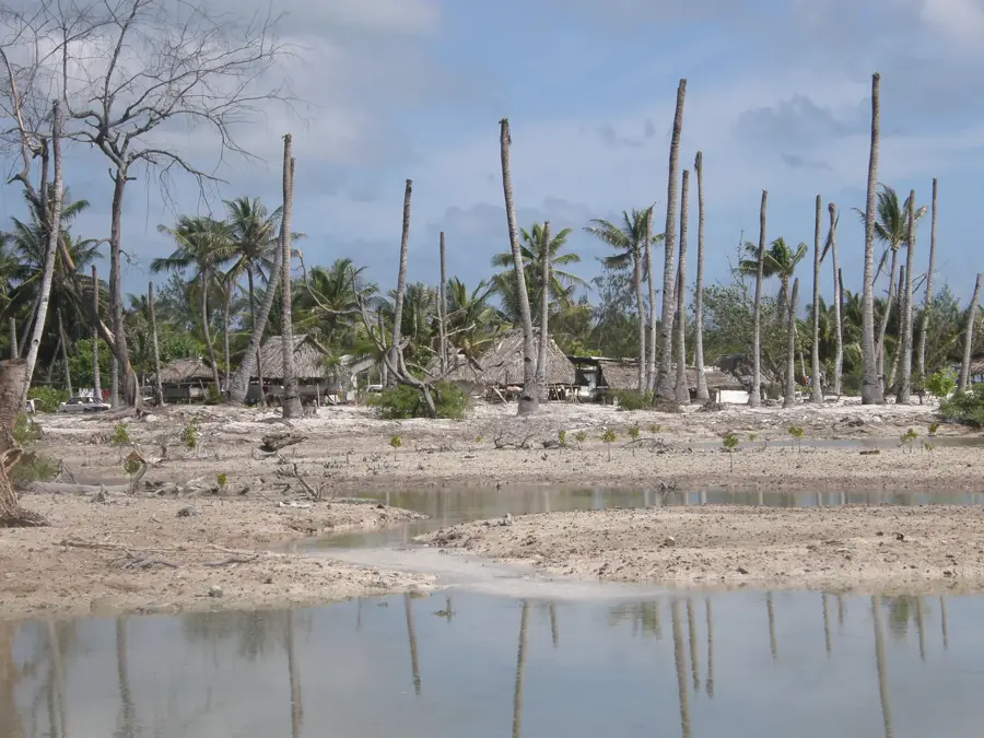
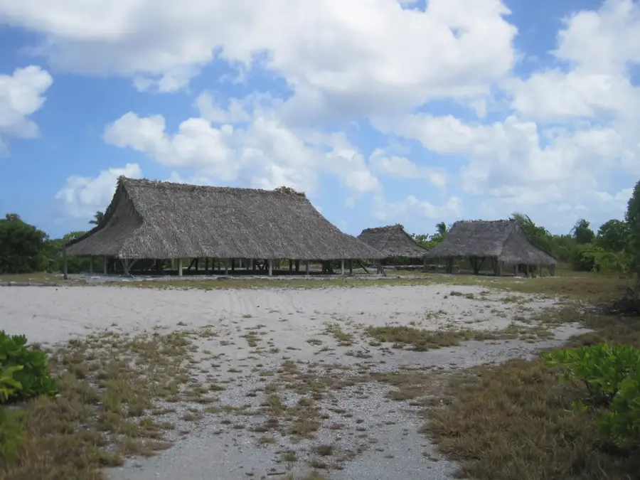
Abaiang Lagoon is the expansive central feature of the Abaiang Atoll, located in the northern Gilbert Islands of Kiribati. Enclosed by a protective ring of coral reefs and small, palm-fringed sandy islets known as motus, the lagoon creates a tranquil aquatic environment shielded from the open Pacific. Its clear, shallow waters are a vital resource for the local I-Kiribati people, supporting a rich variety of marine life including reef fish and giant clams. Traditional fishing techniques, involving hand-carved outrigger canoes, are still practiced daily across the lagoon. The area is celebrated for its pristine beauty, featuring secluded white sand beaches and bustling coral gardens. As one of the more traditional atolls in the country, a visit to the lagoon gives a rare glimpse into a way of life deeply connected to the sea, characterized by a slow pace and a profound respect for the surrounding marine ecosystem.
- Location: Kiribati
- Nearby: Abaiang Atoll (14 km)
Best time to visit & climate
The most pleasant time to visit is Sep–Nov.
| Jan | Feb | Mar | Apr | May | Jun | Jul | Aug | Sep | Oct | Nov | Dec | |
|---|---|---|---|---|---|---|---|---|---|---|---|---|
| Avg °C | 28 | 28 | 28 | 28 | 28 | 28 | 28 | 28 | 28 | 28 | 28 | 28 |
| Rain mm | 217 | 166 | 240 | 187 | 123 | 162 | 135 | 119 | 102 | 104 | 109 | 224 |
📋 Practical info
Geography
Facts
- Lagoon area: 132 km²
- Atoll area: 31 km²
- Population: approx. 5,500
- Mangrove forests along shoreline
- Primary fishing area
- Islands: 17 motus around the lagoon
Explore nearby
Notable places around
Route planner — Car & Motorhome
Where do you start? We build the route here, with stops and country notes along the way.
© OpenStreetMap contributors · OpenRouteService
Sights nearby
Frequently asked questions
How large is the Abaiang Lagoon?
Is it safe to swim in the lagoon?
Are there sharks there?
How is the underwater visibility?
Can I book boat tours?
Abaiang Lagoon: where is it located?
Abaiang Lagoon: when is the best time to visit?
Abaiang Lagoon: why is it worth visiting?

Nearby cities


History & landmarks


Nature
More places