Plizio Visual Lab
Bairiki

ℹ️Practical info — Bairiki
▾
🌤 Weather — 5 days
📍 Nearby
Sights nearby
💡 Tips
- Minibuses are the main way to get around; they run frequently along the main road, just wave one down to board.
- The midday sun is extremely intense, so try to do your walking early in the morning or late afternoon.
- Carry enough Australian Dollars (the local currency) as credit card facilities are scarce outside major hotels.
- Internet access can be slow and spotty, so download offline maps beforehand.
🍽 Food
Look for local eateries or guesthouses serving locally caught tuna, often prepared very simply as sashimi.
Try the local sweet coconut sap drink, available fresh in the mornings at local markets.
Small food stalls near the administrative center offer filling, affordable plates of fried fish and rice.
🛍 Shopping · 🧘 Quiet spots
Browse stalls in the central area for beautifully woven pandanus mats and baskets.
A lively spot to buy fresh local produce, fish, and everyday goods from the islanders.
Walk along the lagoon side of the atoll for calmer waters and a quieter atmosphere away from the main road.
Stand near the causeway connecting Bairiki to Betio during sunset for sweeping views over the water.
Water temperature…
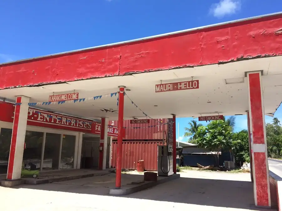
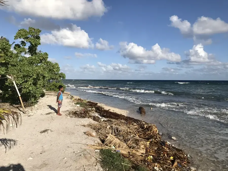
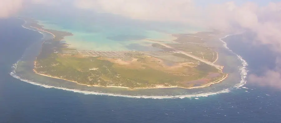
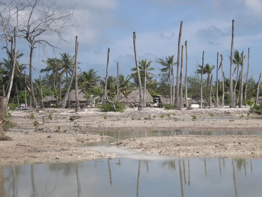
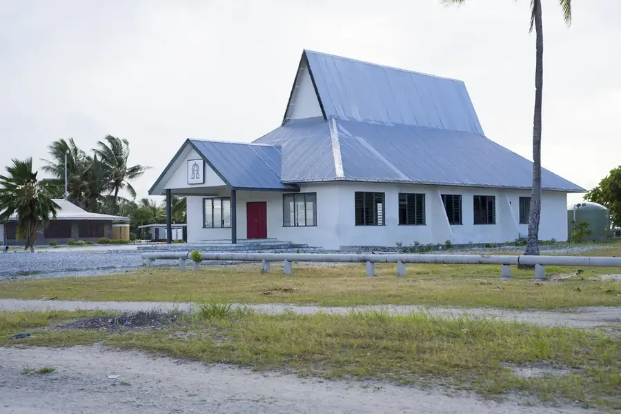
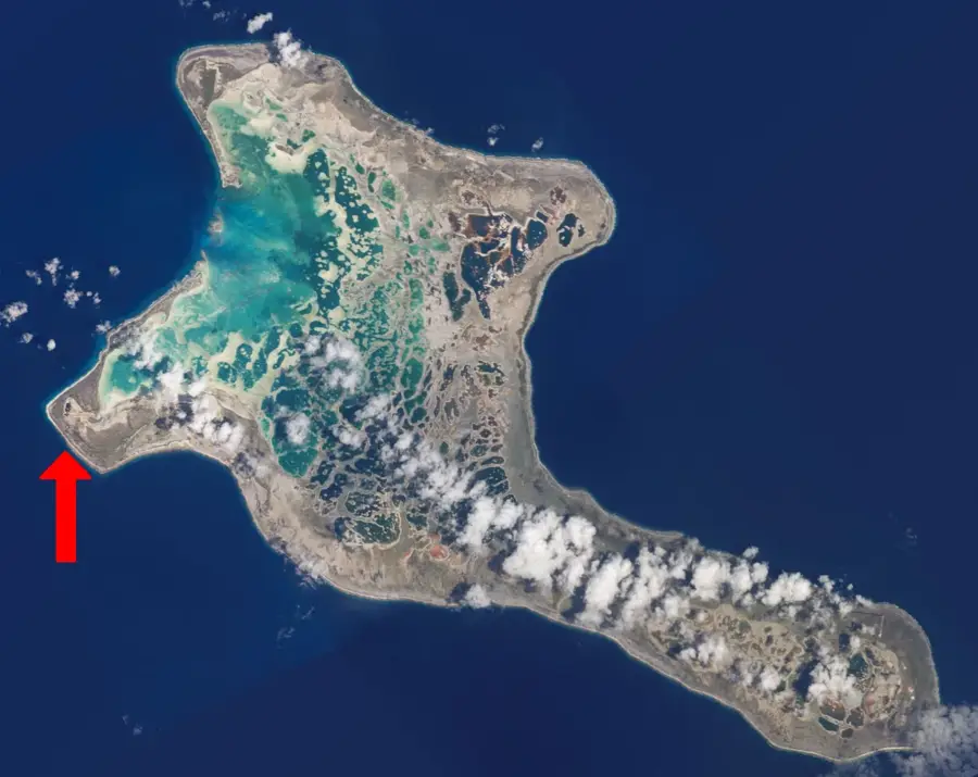
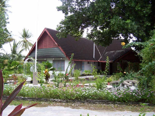
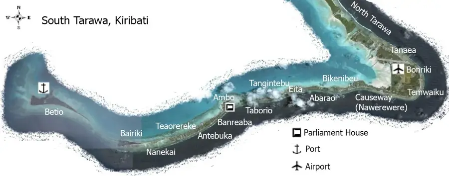
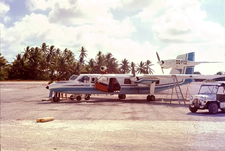
Bairiki is the political and economic hub of South Tarawa, the main atoll of Kiribati. Despite its small geographic footprint, it houses the nation's most critical institutions, including the Presidential Palace and various government ministries. The settlement is known for its bustling market and Bairiki Square, which serves as a focal point for social and cultural gatherings. It is also home to the main post office, banks, and several foreign embassies, making it the country's primary service center. Notwithstanding the dense population, Bairiki retains a distinctive Pacific atoll charm with its palm-fringed vistas overlooking the vast lagoon. Through man-made causeways, Bairiki is connected to neighboring Betio to the west and Teaoraereke to the east, ensuring seamless transport across the atoll. For travelers, Bairiki gives a unique look into modern Micronesian life and the administrative heart of an island nation.
- Location: Kiribati
- Top sights: Catholic Church · Nanomalie · Latter Day Saints (Mormon)
- Nearby: Betio (6 km)
- Population: ~3.500
Best time to visit & climate
The most pleasant time to visit is Sep–Nov.
| Jan | Feb | Mar | Apr | May | Jun | Jul | Aug | Sep | Oct | Nov | Dec | |
|---|---|---|---|---|---|---|---|---|---|---|---|---|
| Avg °C | 28 | 28 | 28 | 28 | 28 | 28 | 28 | 28 | 28 | 28 | 28 | 28 |
| Rain mm | 212 | 157 | 220 | 171 | 103 | 136 | 119 | 107 | 92 | 95 | 95 | 208 |
Geography
Facts
- Population: 3,500 (2020)
- Area: 0.5 km²
- Number of government buildings: 10
- Highest point: 2 m
- Independence year: 1979
- Parliament building: Maneaba ni Maungatabu
Explore nearby
Notable places around
Route planner — Car & Motorhome
Where do you start? We build the route here, with stops and country notes along the way.
© OpenStreetMap contributors · OpenRouteService
Sights in the town Bairiki (3)
Frequently asked questions
What is the function of Bairiki?
Are there restaurants there?
Can one shop in Bairiki?
What can one do in the evening?
Are there parking facilities?
Bairiki: where is it located?
Bairiki: what is there to see?
Bairiki: when is the best time to visit?
Bairiki: why is it worth visiting?

Nearby cities


History & landmarks

Nature
More places