Plizio Visual Lab
Bonriki Plateau
Weather…
Water temperature…
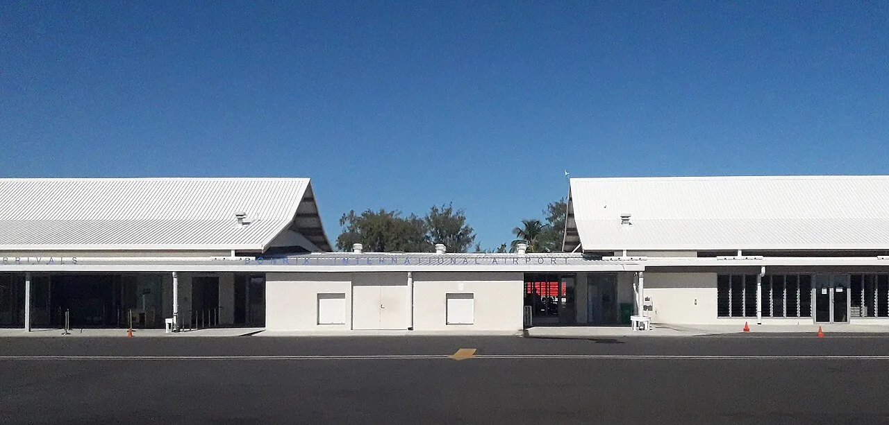
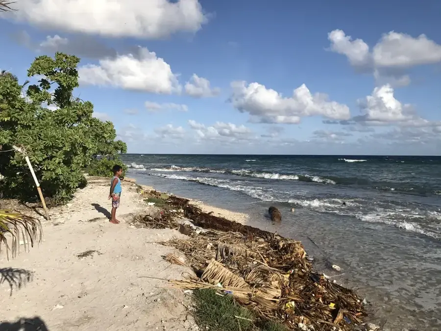
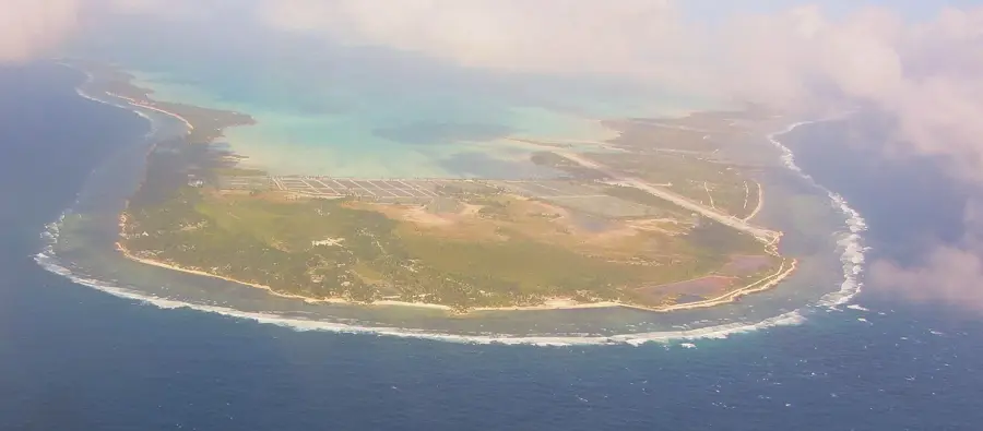
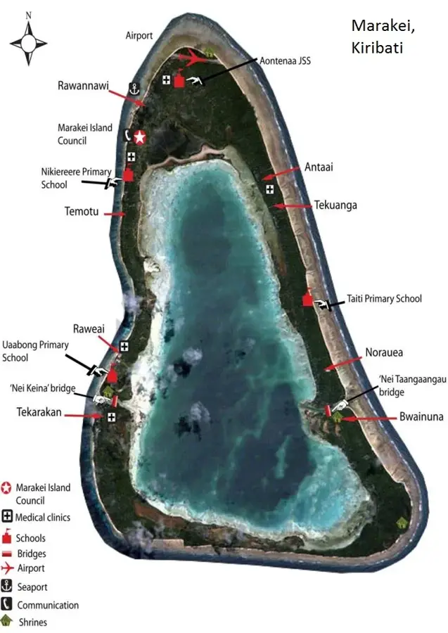
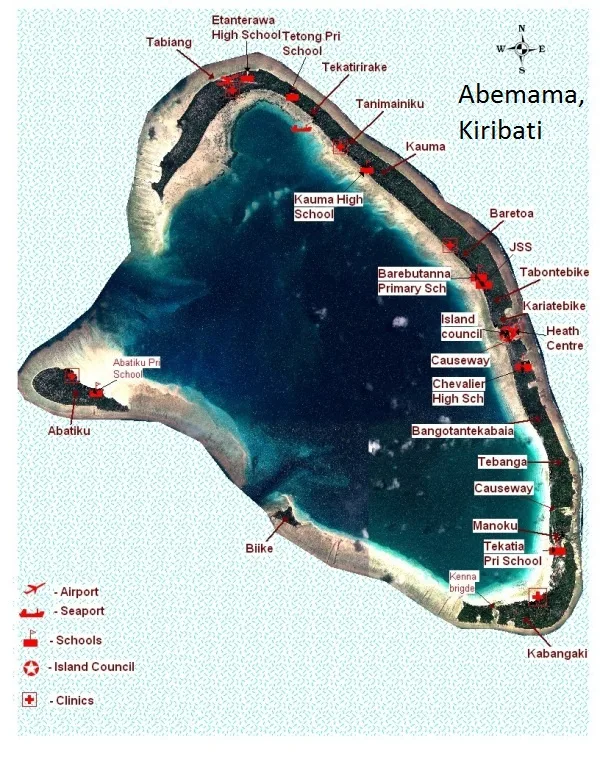
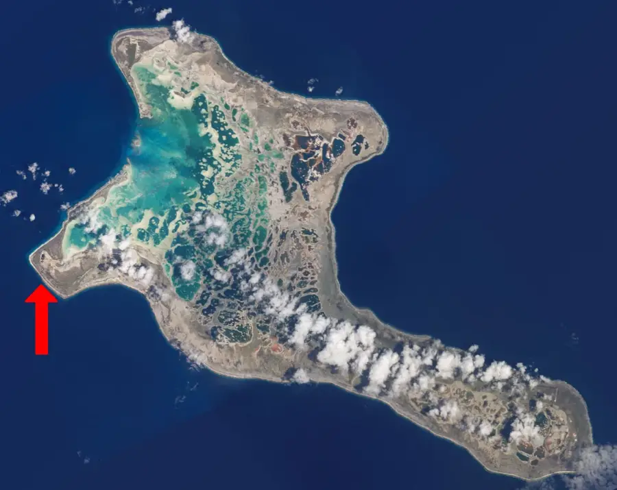
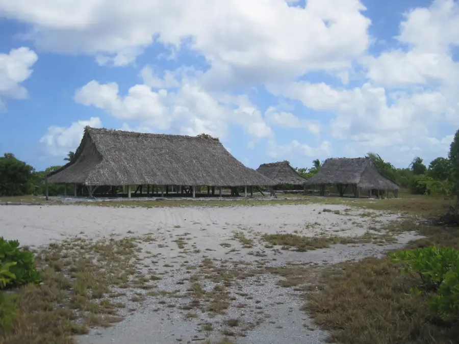
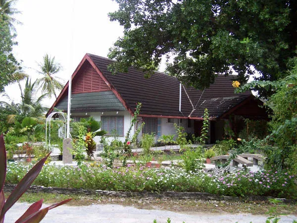
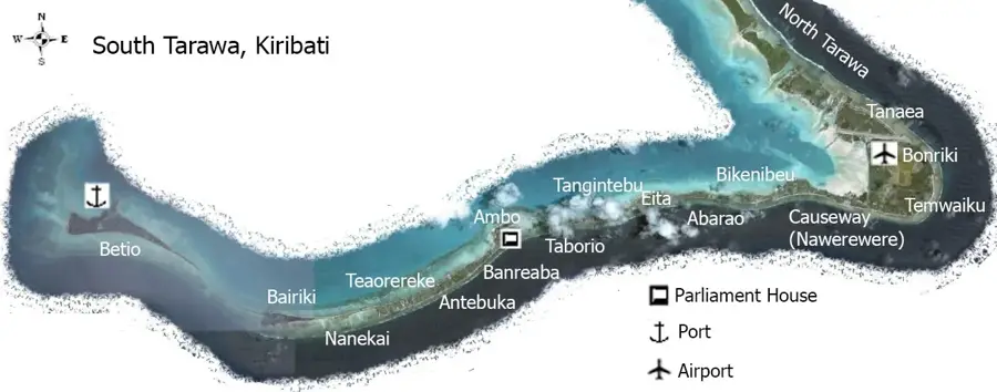
The Bonriki Plateau, located at the southeast corner of Tarawa Atoll, is a geographically and ecologically vital area for the Republic of Kiribati. As one of the widest sections of the atoll, it provides the necessary landmass for the Bonriki International Airport, the nation's primary link to the outside world. More importantly, the plateau sits atop the largest freshwater lens in South Tarawa, which is the most critical source of potable water for the densely populated atoll. The terrain is characterized by very low relief, typical of coral atolls, with elevations barely rising above sea level. This makes the plateau exceptionally vulnerable to climate change and rising sea levels, as saltwater intrusion poses a direct threat to the freshwater supply. The area is subject to strict environmental management and water conservation efforts. For visitors and researchers, the Bonriki area exemplifies the delicate balance of life on a low-lying atoll and the ongoing challenges of resource management in the central Pacific.
- Location: Kiribati
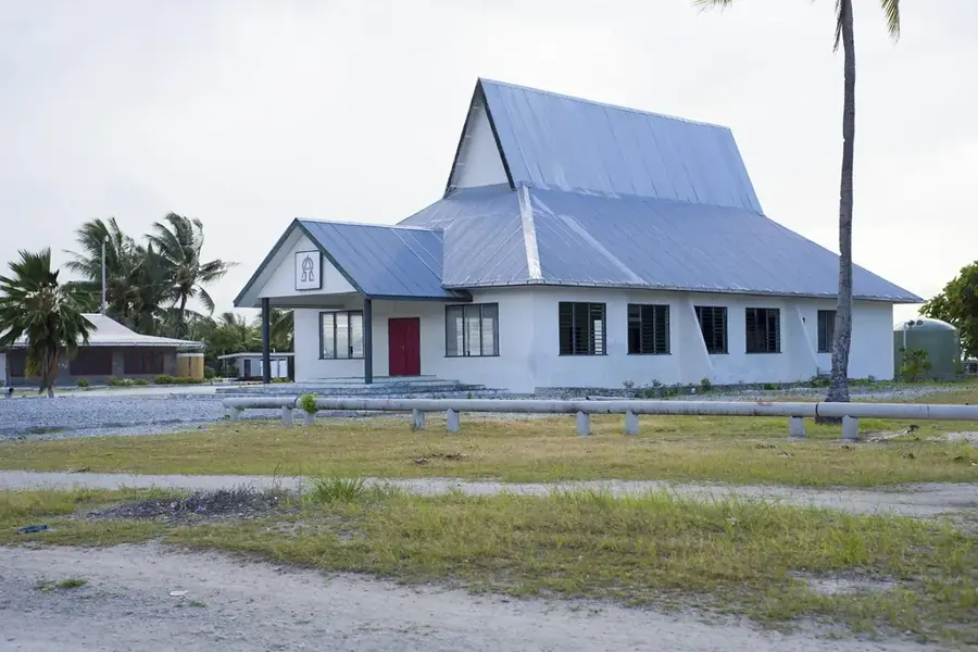
- Top sights: Bonriki Roman Catholic Church · KPC area · Mormon Church
- Nearby: Eita (8 km)
Best time to visit & climate
The most pleasant time to visit is Sep–Nov.
| Jan | Feb | Mar | Apr | May | Jun | Jul | Aug | Sep | Oct | Nov | Dec | |
|---|---|---|---|---|---|---|---|---|---|---|---|---|
| Avg °C | 28 | 28 | 28 | 28 | 28 | 28 | 28 | 28 | 28 | 28 | 28 | 28 |
| Rain mm | 212 | 157 | 220 | 171 | 103 | 136 | 119 | 107 | 92 | 95 | 95 | 208 |
📋 Practical info
Geography
Facts
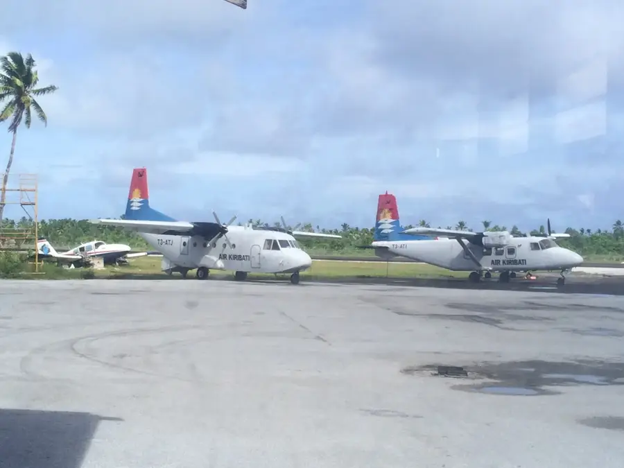
- Elevation: 3 m
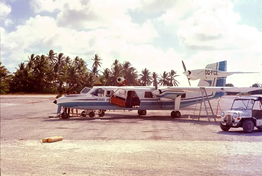
- Airport: Bonriki International (IATA: TRW)
- Opened: 1943 as military airfield
- Runway length: 2,422 m
- Passengers: over 250,000 annually
- Location: Tarawa Atoll
Explore nearby
Notable places around
Route planner — Car & Motorhome
Where do you start? We build the route here, with stops and country notes along the way.
© OpenStreetMap contributors · OpenRouteService
Sights in the town Bonriki Plateau (4)
Sights nearby
Frequently asked questions
What is located on the Bonriki Plateau?
Why is the plateau important for water supply?
Is access to the area permitted?
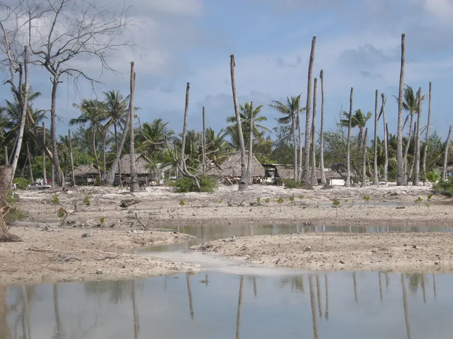
Are there trees there?
How far is it to Bairiki?
Bonriki Plateau: where is it located?
Bonriki Plateau: what is there to see?
Bonriki Plateau: when is the best time to visit?
Bonriki Plateau: why is it worth visiting?

Nearby cities


History & landmarks

Nature
More places