Plizio Visual Lab
Tarawa Lagoon

Weather…
Water temperature…
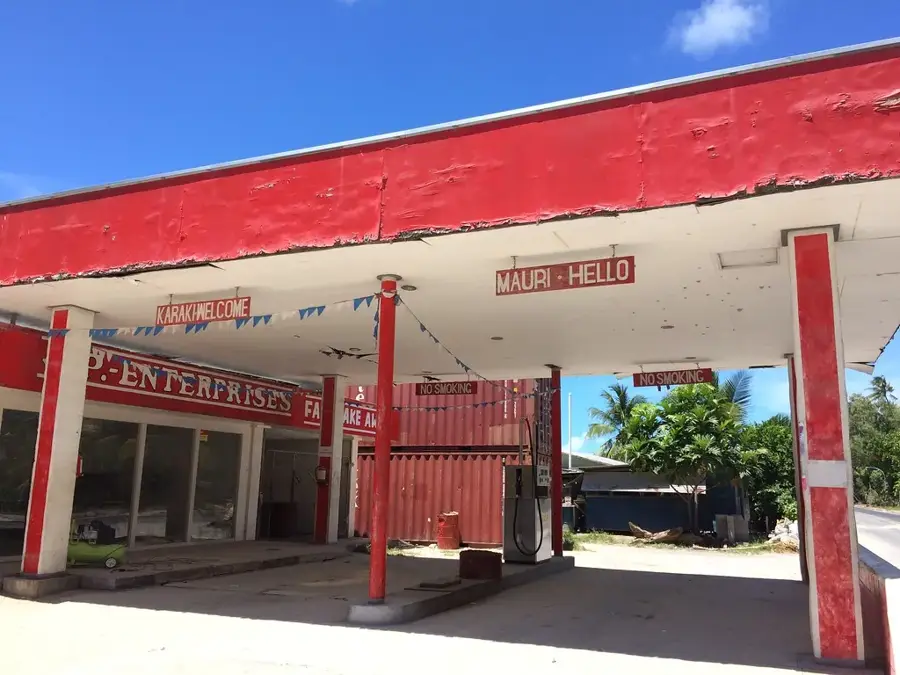
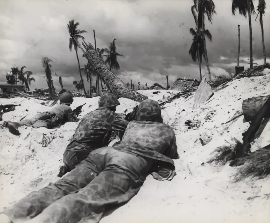
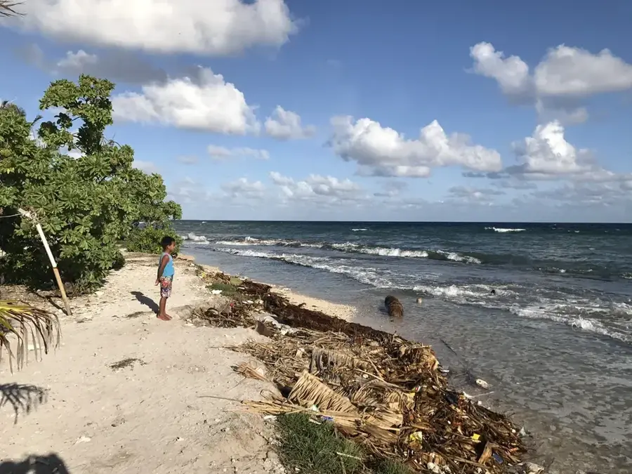
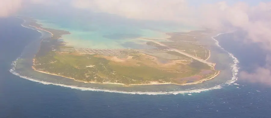
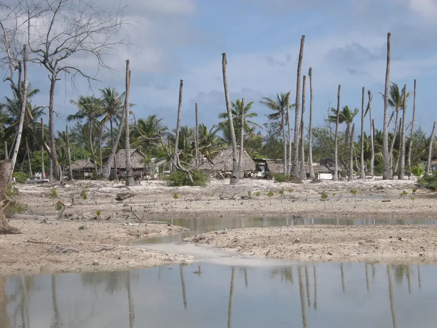
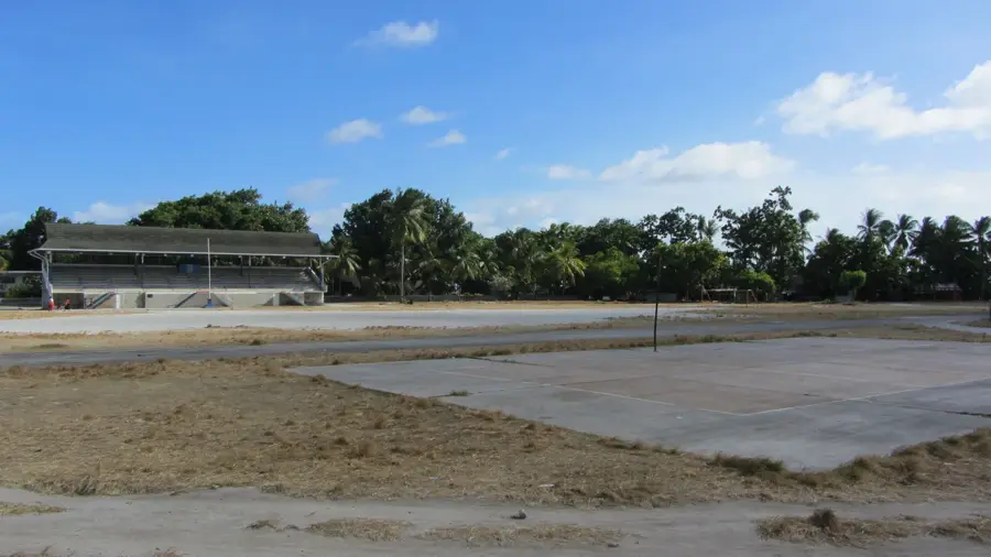
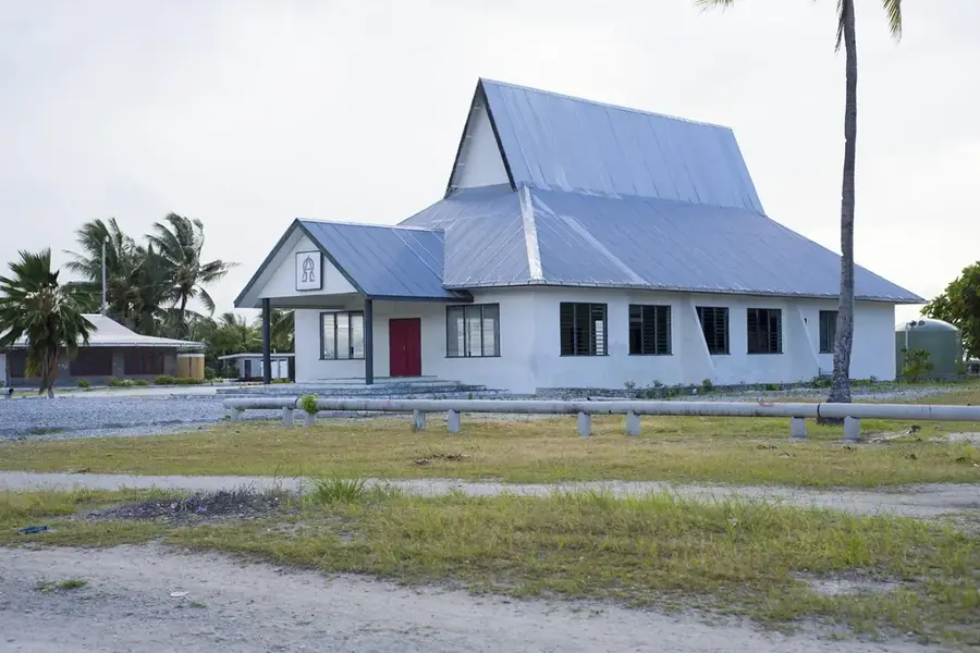
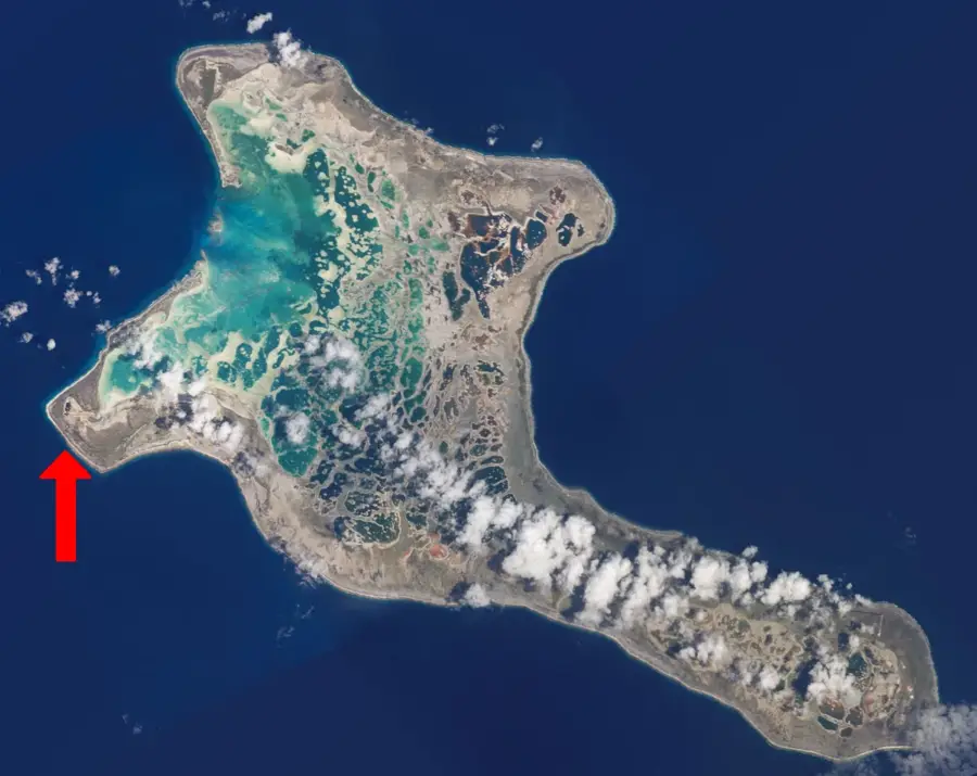
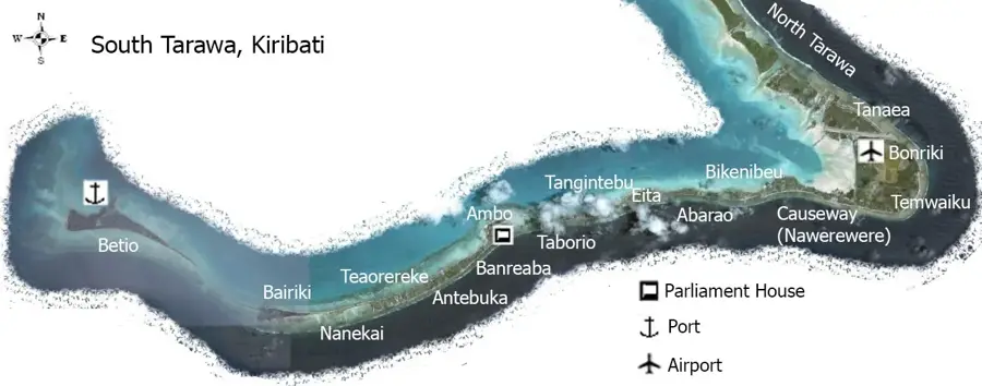
Tarawa Lagoon serves as the geographical and economic lifeline of Kiribati, dominating the landscape of the main atoll. Spanning approximately 500 square kilometers, this vast inland sea is shielded from the powerful Pacific swells by an extensive western reef system. It is a crucial resource for the local population, providing the primary fishing grounds that sustain the daily needs of thousands of residents. The lagoon's shallow waters display a panoramic array of turquoise hues, creating a stark contrast with the deep navy blue of the open ocean just beyond the reef. Historically, the lagoon gained international significance during World War II as the site of the pivotal Battle of Tarawa, and relics from this era, including submerged wrecks, can still be found within its depths. For those visiting the islands, the lagoon gives a window into the delicate balance between human habitation and the marine environment, showcasing the unique beauty and vulnerability of a Pacific coral atoll ecosystem.
- Location: Kiribati
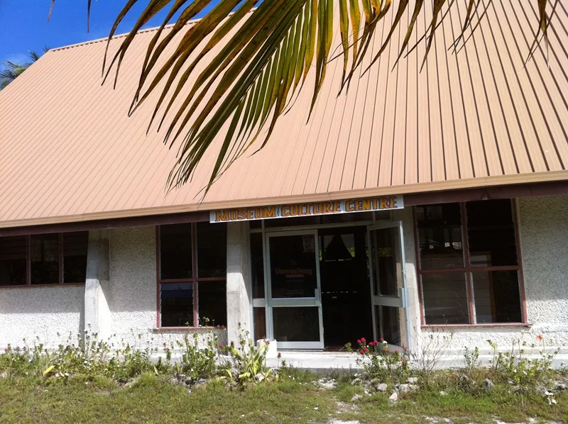
- Top sights: Battle of Tarawa · Geography of Kiribati · Kiribati
- Nearby: Betio (9 km)
Best time to visit & climate
The most pleasant time to visit is Sep–Nov.
| Jan | Feb | Mar | Apr | May | Jun | Jul | Aug | Sep | Oct | Nov | Dec | |
|---|---|---|---|---|---|---|---|---|---|---|---|---|
| Avg °C | 28 | 28 | 28 | 28 | 28 | 28 | 28 | 28 | 28 | 28 | 28 | 28 |
| Rain mm | 212 | 157 | 220 | 171 | 103 | 136 | 119 | 107 | 92 | 95 | 95 | 208 |
📋 Practical info
Geography
Facts
- Lagoon area: 510 km²
- Average depth: 3 m
- Maximum depth: 30 m
- South Tarawa population: 60,000 (2020)
- Battle of Tarawa: November 1943
- Annual fish catch: 10,000 tons
Explore nearby
Notable places around
Route planner — Car & Motorhome
Where do you start? We build the route here, with stops and country notes along the way.
© OpenStreetMap contributors · OpenRouteService
Sights in the town Tarawa Lagoon (3)
Sights nearby
Frequently asked questions
Is the Tarawa lagoon interesting for tourists?
Can you swim in the lagoon?
Are there boat tours in the lagoon?
What fish can be found here?
How deep is the lagoon?
Tarawa Lagoon: where is it located?
Tarawa Lagoon: what is there to see?
Tarawa Lagoon: when is the best time to visit?
Tarawa Lagoon: why is it worth visiting?

Nearby cities


History & landmarks

Nature
More places