Plizio Visual Lab
Japanese Command Bunker

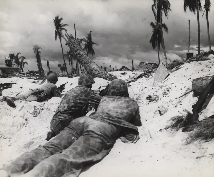
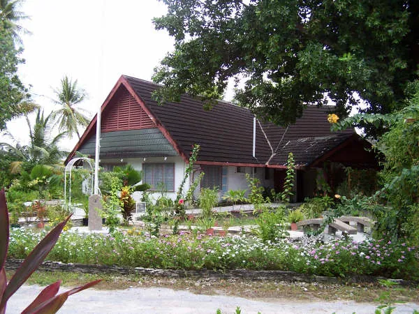
The Japanese Command Bunker on Betio Island is a formidable relic of the Pacific Theater of World War II. Constructed from heavily reinforced steel concrete with walls exceeding one meter in thickness, this structure was designed to be virtually indestructible. During the Battle of Tarawa in November 1943, it served as the high-stakes headquarters for Admiral Keiji Shibazaki. The bunker's survival is a testament to its robust engineering; it withstood intense naval shelling and aerial bombardment from US forces that leveled most other structures on the island. Architecturally, it is a low-slung, utilitarian fortress, strategically positioned near the coast to coordinate defense efforts. Today, it stands as a silent sentinel on Betio's shore, its scarred concrete surfaces bearing the marks of battle. It remains one of the best-preserved military fortifications in the region, offering a sobering and tangible link to the ferocious combat that defined the Gilbert Islands campaign.
- Location: Kiribati
- Top sights: SDA Betio Church · The Church of Jesus Christ of Latter-day Saints · Domestic Ferry Pier
- Nearby: Bairiki Business District (6 km)
Best time to visit & climate
The most pleasant time to visit is Sep–Nov.
| Jan | Feb | Mar | Apr | May | Jun | Jul | Aug | Sep | Oct | Nov | Dec | |
|---|---|---|---|---|---|---|---|---|---|---|---|---|
| Avg °C | 28 | 28 | 28 | 28 | 28 | 28 | 28 | 28 | 28 | 28 | 28 | 28 |
| Rain mm | 212 | 157 | 220 | 171 | 103 | 136 | 119 | 107 | 92 | 95 | 95 | 208 |
📋 Practical info
Geography
Facts
- Constructed in 1942
- Concrete walls 1.5 meters thick
- Battle of Tarawa: 20–23 November 1943
- Headquarters of Admiral Keiji Shibasaki
- Now a memorial site
- Part of Japanese defensive line
Explore nearby
Notable places around
Route planner — Car & Motorhome
Where do you start? We build the route here, with stops and country notes along the way.
© OpenStreetMap contributors · OpenRouteService
Sights in the town Japanese Command Bunker (8)
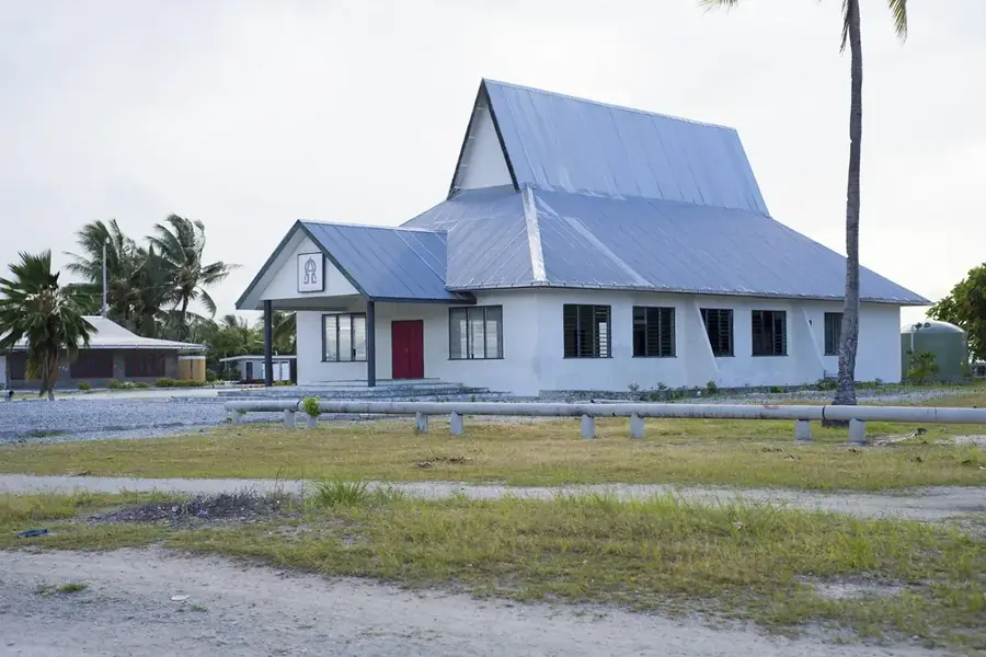
St. Paul's Millennium Church
Anglican church on Betio, built around the year 2000. Serves the local Christian community.
marewen teriki
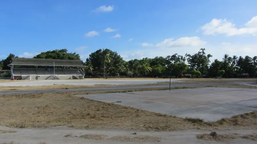
Sandy beach along Betio's coast. Quiet spot for swimming and relaxation.
LDS CHURCH
Latter-day Saint meetinghouse on Betio. Used for Sunday school and congregational meetings.
mary's beach
Beach section on Betio, named after Mary. Shallow water, walkable at low tide.
Sights nearby
Frequently asked questions
Can you enter the inside of the bunker?
Who used this bunker?
Is the bunker easy to find?
Is there a risk of injury while exploring?
Are there information boards on site?
Japanese Command Bunker: where is it located?
Japanese Command Bunker: what is there to see?
Japanese Command Bunker: when is the best time to visit?
Japanese Command Bunker: why is it worth visiting?

Nearby cities


History & landmarks

Nature
More places