Plizio Visual Lab
Betio Islet
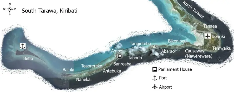
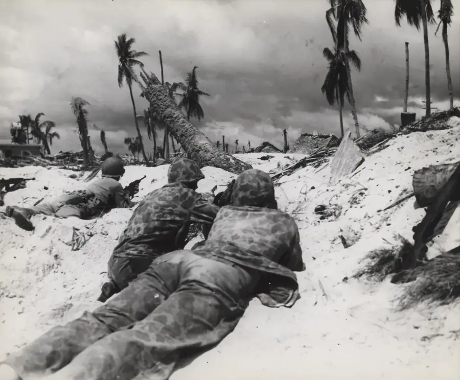
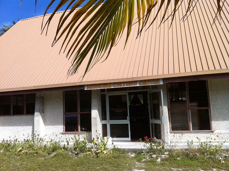
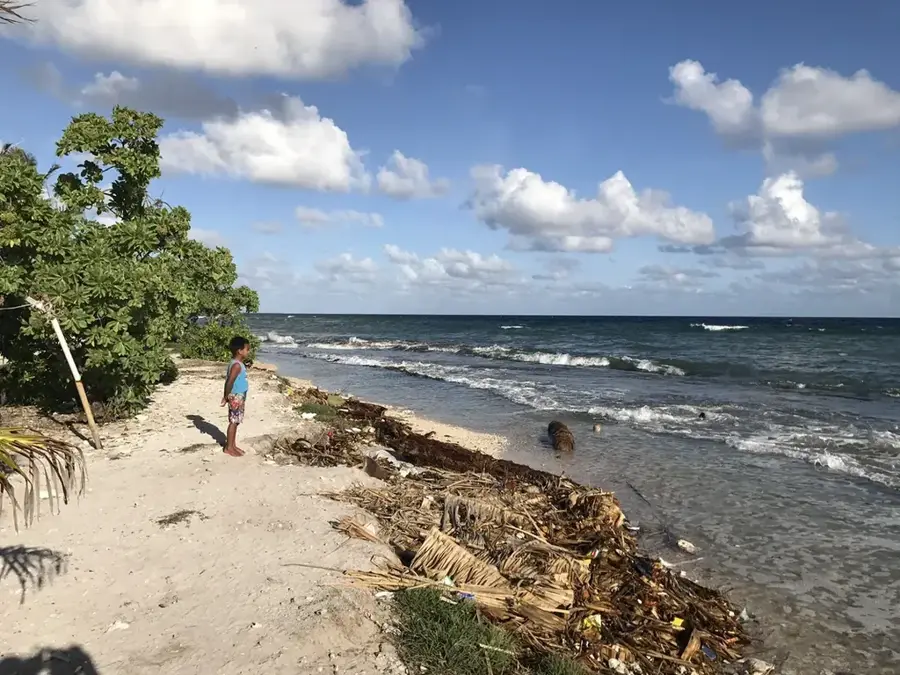
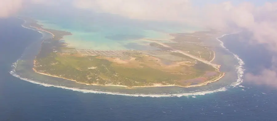
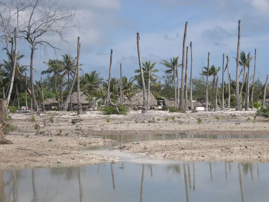
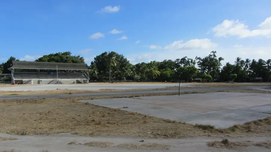
Betio Islet, located at the western tip of Tarawa Atoll, is the primary economic hub and port of Kiribati. It is internationally recognized for its pivotal role in World War II as the site of the Battle of Tarawa in November 1943. The struggle between U.S. Marines and Japanese defenders left the islet permanently scarred, and today it remains one of the most significant war heritage sites in the Pacific. Visitors can explore numerous relics, including reinforced concrete bunkers, large coastal defense guns, and shipwrecks visible in the lagoon at low tide. Betio is remarkably flat, with its highest point reaching only about three meters above sea level, highlighting the nation's vulnerability to climate change. Despite its tragic past, it is now a bustling urban center, home to a large portion of the atoll's population and the main gateway for national trade.
- Location: Kiribati
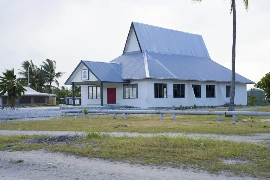
- Top sights: SDA Betio Church · U.S. Marine Corps Memorial · Kaotitaeka Church
- Nearby: Bairiki Business District (6 km)
Best time to visit & climate
The most pleasant time to visit is Sep–Nov.
| Jan | Feb | Mar | Apr | May | Jun | Jul | Aug | Sep | Oct | Nov | Dec | |
|---|---|---|---|---|---|---|---|---|---|---|---|---|
| Avg °C | 28 | 28 | 28 | 28 | 28 | 28 | 28 | 28 | 28 | 28 | 28 | 28 |
| Rain mm | 212 | 157 | 220 | 171 | 103 | 136 | 119 | 107 | 92 | 95 | 95 | 208 |
📋 Practical info
Geography
Facts
- Area: 1.5 km²
- Population: approx. 15,000
- Population density: 10,000/km²
- Battle of Tarawa: November 1943
- Elevation: 2 m
- Main export: fish
Explore nearby
Notable places around
Route planner — Car & Motorhome
Where do you start? We build the route here, with stops and country notes along the way.
© OpenStreetMap contributors · OpenRouteService
Sights in the town Betio Islet (8)
The Church of Jesus Christ of Latter-day Saints
The Church of Jesus Christ of Latter-day Saints on Betio, a Mormon congregation building.
marewen teriki
Marewen Teriki, a beach area on Betio with sand and coastal vegetation.
LDS CHURCH
LDS Church on Betio, a meetinghouse for the Latter-day Saint community.
mary's beach
Mary's Beach, a sandy beach on Betio with calm waters.
Sights nearby
Frequently asked questions
What is the historical significance of Betio?
Are there still war relics?
Can you explore Betio on foot?
Are there memorials there?
Is Betio inhabited?
Betio Islet: where is it located?
Betio Islet: what is there to see?
Betio Islet: when is the best time to visit?
Betio Islet: why is it worth visiting?

Nearby cities


History & landmarks

Nature
More places