Plizio Visual Lab
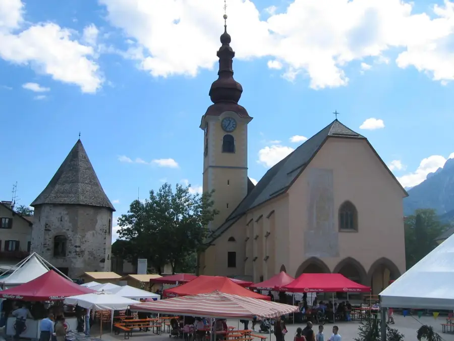
Tarvisio
ℹ️Practical info — Tarvisio
▾
🌤 Weather — 5 days
📍 Nearby
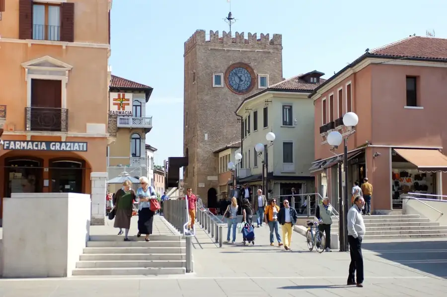
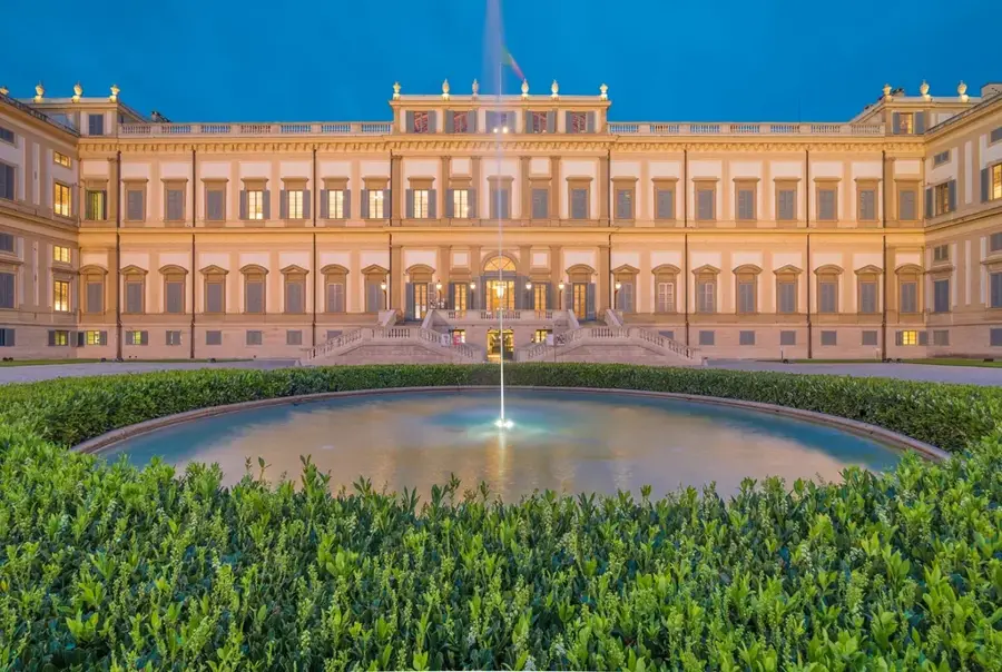
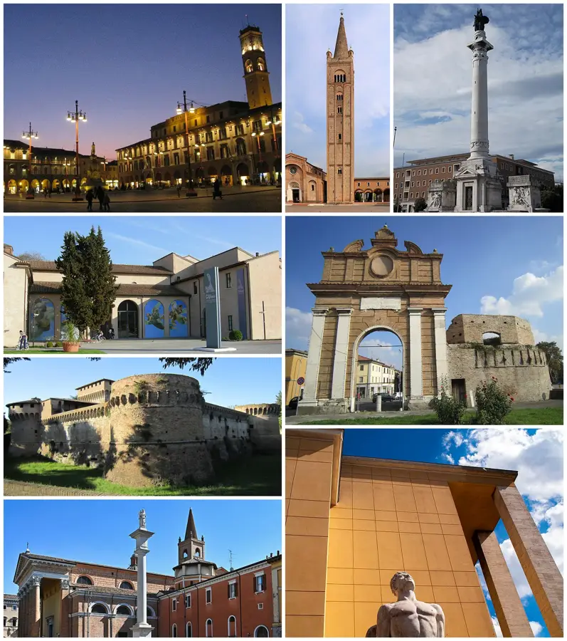
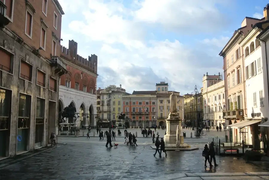
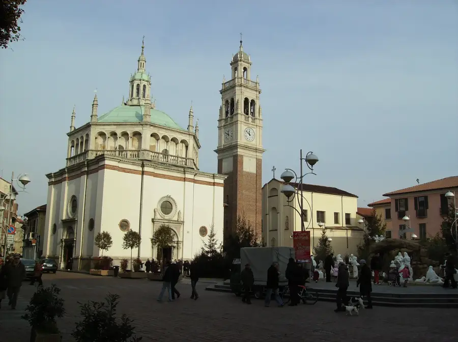
Sights nearby
💡 Tips
- Visit the Mount Lussari sanctuary in the morning for the best views before the afternoon clouds roll in.
- The Ciclovia Alpe Adria cycle path passes right through town; renting a bike is a great way to explore the valley.
- Be aware that many local businesses close for a few hours in the early afternoon (riposo).
- If driving towards the Fusine Lakes, arrive early during peak summer months as the parking areas fill up quickly.
🍽 Food
A hearty cheese and potato crisp. Find it in traditional alpine huts around Mount Lussari.
Sweet and savory ravioli with unique fillings. Look for these in local osterias in the town center.
Excellent when paired with local cheeses at a deli or wine bar near the main square.
🛍 Shopping · 🧘 Quiet spots
Great for buying leather goods and clothing, usually held along the central streets.
First-rate for picking up regional cheeses like Montasio, along with high-quality cured meats.
Two memorable glacial lakes surrounded by mountains, convenient for a peaceful walk.
A serene valley offering quiet walking trails through thick forests.
Water temperature…
Tarvisio sits in the Val Canale, surrounded by the dramatic peaks of the Julian Alps and the Karawanken range. The town is a historic crossroads where Romance, Germanic, and Slavic cultures meet, a blend especially visible in its unique local cuisine. A standout attraction is the Monte Lussari sanctuary, reachable by cable car, offering one of the most beautiful viewpoints in the Alps. The area is a haven for outdoor enthusiasts, featuring the Alpe Adria cycle path and the impressive emerald waters of the Fusine Lakes nearby. In winter, it transforms into a versatile ski resort with slopes suitable for all levels and a characterful, traditional alpine atmosphere.
- Location: Italy
- Top sights: Bob su rotaia · Aviatori della Valcanale · Orrido dello Slizza
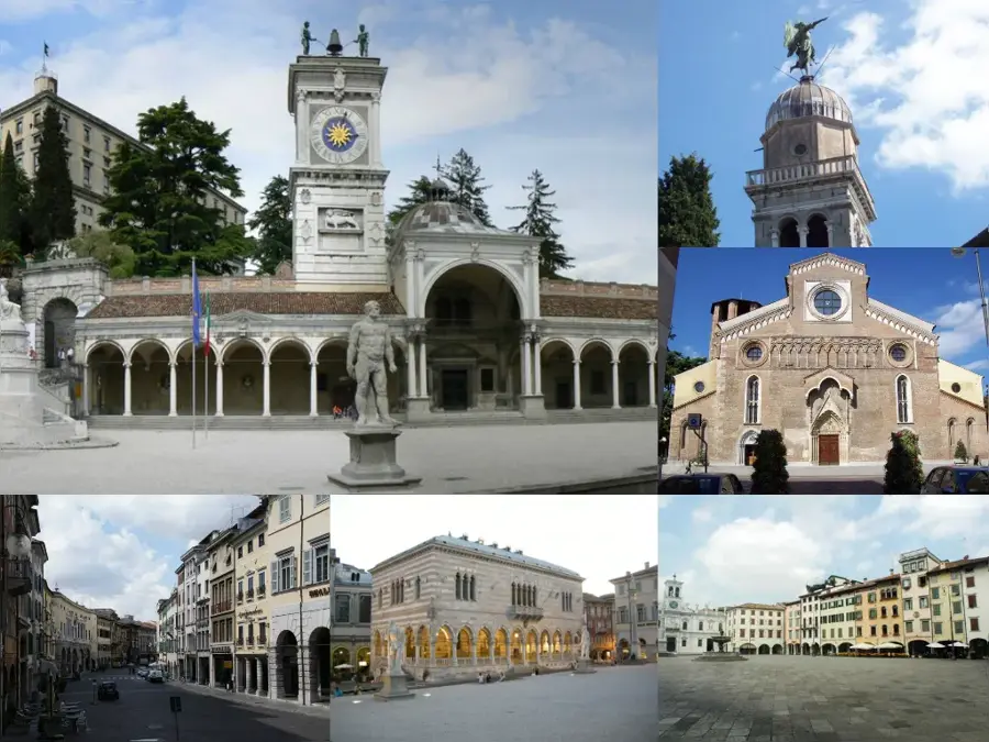
- Nearby: Udine (56 km)
- Population: ~2.509
Best time to visit & climate
The most pleasant time to visit is Jun–Aug.
| Jan | Feb | Mar | Apr | May | Jun | Jul | Aug | Sep | Oct | Nov | Dec | |
|---|---|---|---|---|---|---|---|---|---|---|---|---|
| Avg °C | -4 | -3 | 2 | 6 | 11 | 15 | 17 | 17 | 12 | 8 | 3 | -2 |
| Rain mm | 58 | 66 | 74 | 83 | 110 | 120 | 125 | 140 | 130 | 118 | 119 | 85 |
Geography
Facts
- Elevation: 754 meters
- Located at the triple border point
- Mount Lussari pilgrimage site
- Alpe Adria international cycle path
- Stunning Fusine Lakes nearby
- 25 km of downhill ski slopes
- Raibl mining museum in Cave del Predil
- Tarvisio Forest (Italy's largest state forest)
Explore nearby
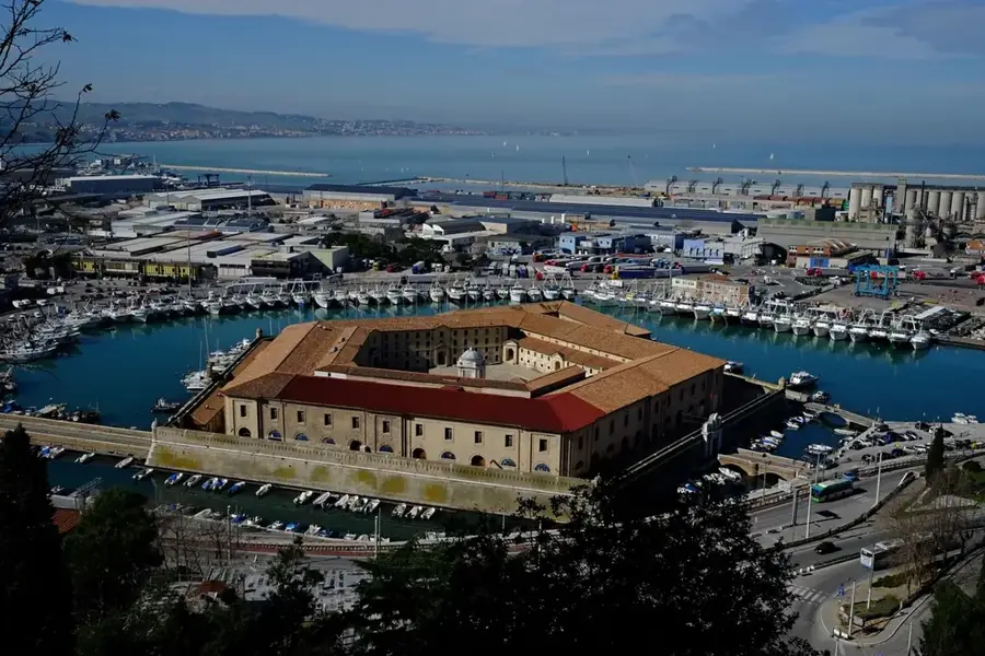
Notable places around
Route planner — Car & Motorhome
Where do you start? We build the route here, with stops and country notes along the way.
© OpenStreetMap contributors · OpenRouteService
Sights in the town Tarvisio (8)
Frequently asked questions
What is the triple border point?
What is Monte Lussari?
Are there lakes nearby?
Is Tarvisio good for skiing?
When is the weekly market?
Tarvisio: where is it located?
Tarvisio: what is there to see?
Tarvisio: when is the best time to visit?
Tarvisio: why is it worth visiting?

Nearby cities
History & landmarks

More places