Plizio Visual Lab
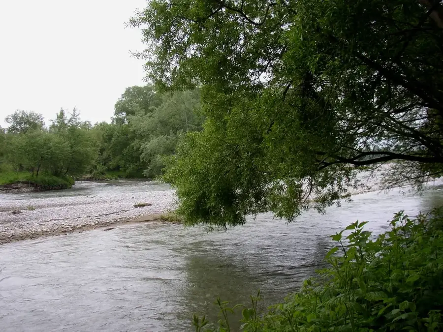
Sarviz River
Weather…
Water temperature…
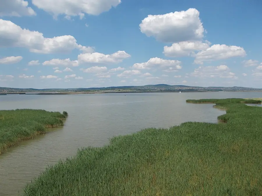
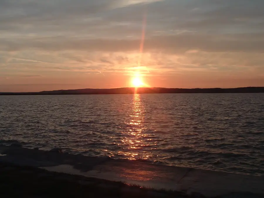
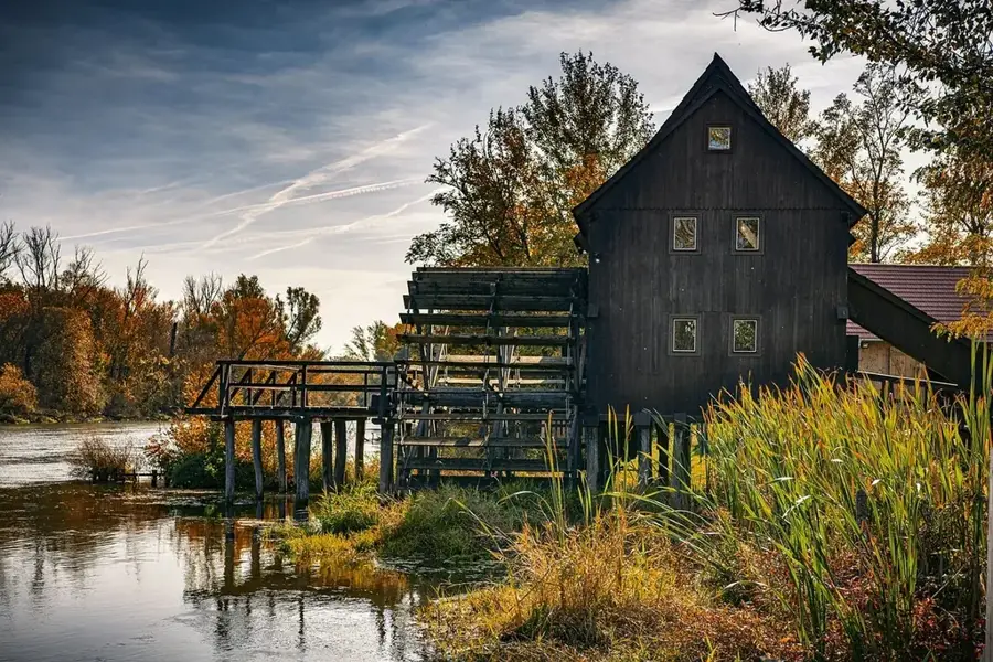
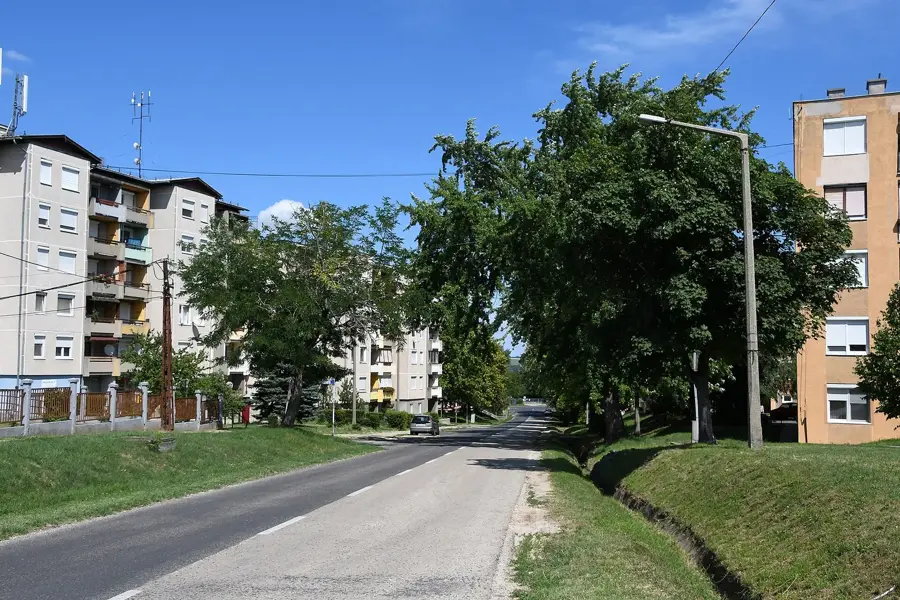
The Sárvíz Canal is one of the longest artificially regulated watercourses in Transdanubia, passing through the Fejér Plain. The area was originally a vast, impenetrable marshland that was drained during the large-scale water management projects of the 19th century, creating today's agricultural landscape. The canal now serves a dual function: draining excess inland water and providing water for irrigation during drier periods. Secondary habitats, reed beds and willow groves, that have developed along the banks provide important sanctuary for water birds and fish. The Sárvíz Valley is also historically significant, as its waterways were used as early as the Roman era for trade leading into the interior of the Pannonia province.
- Location: Hungary
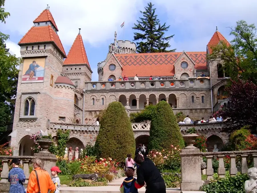
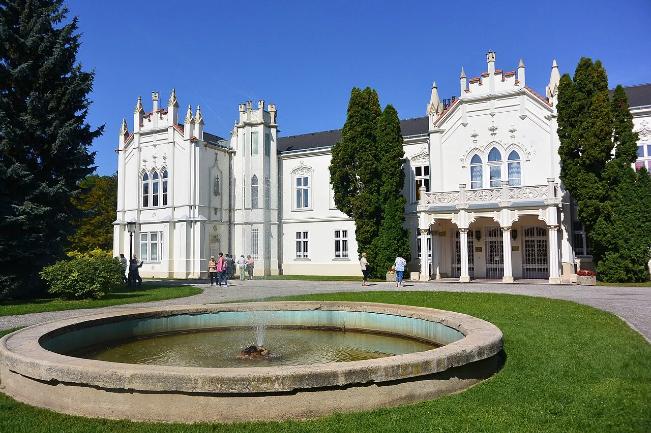
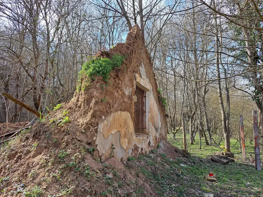
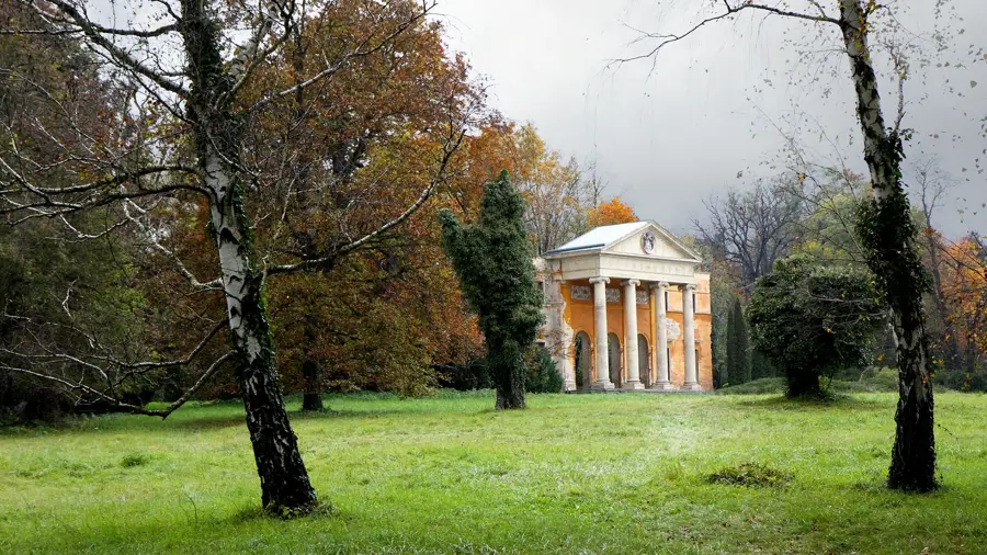
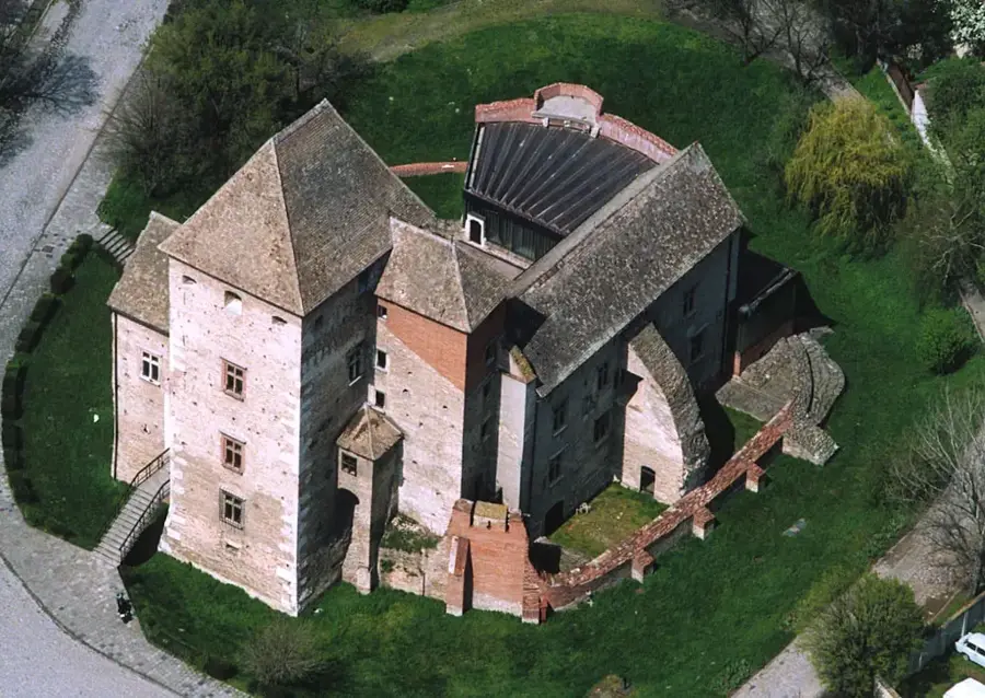
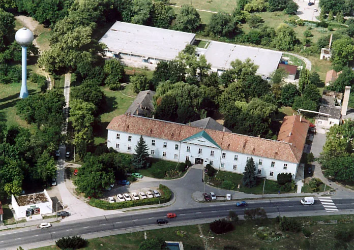
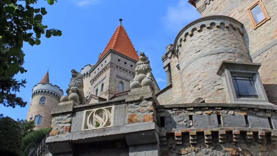
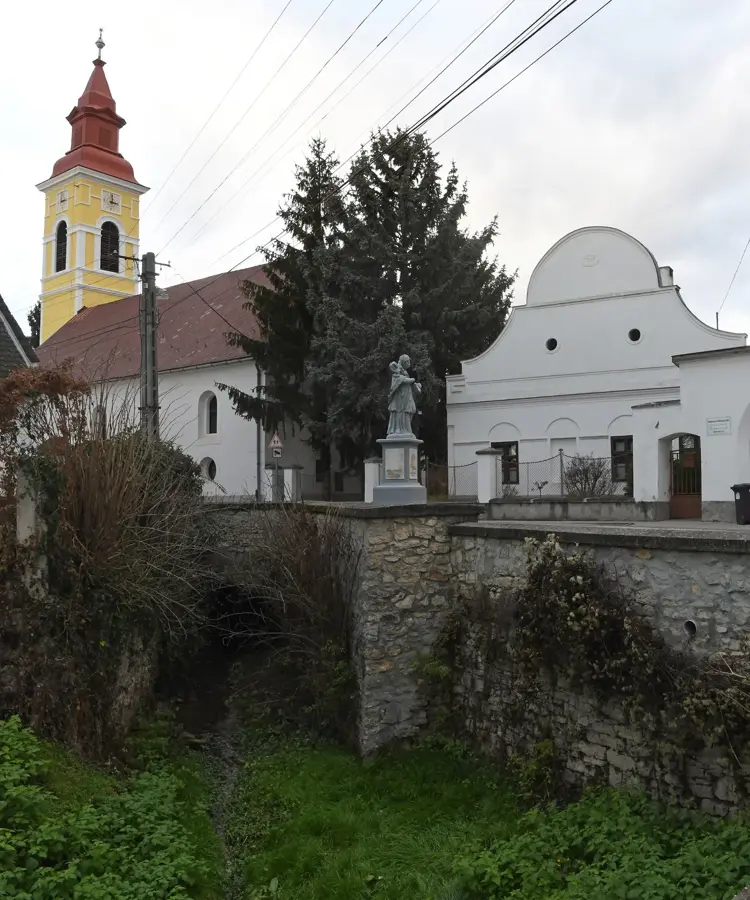
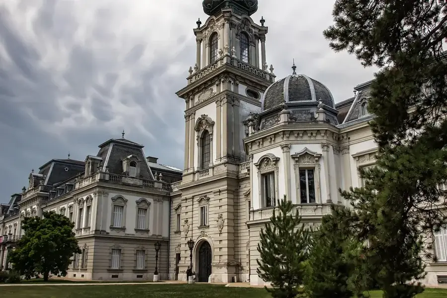
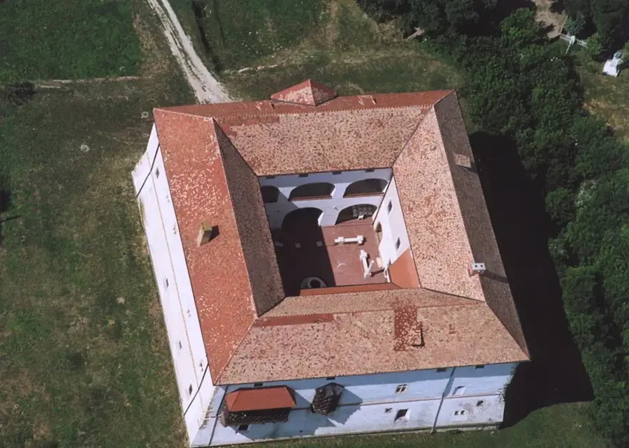
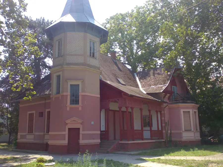
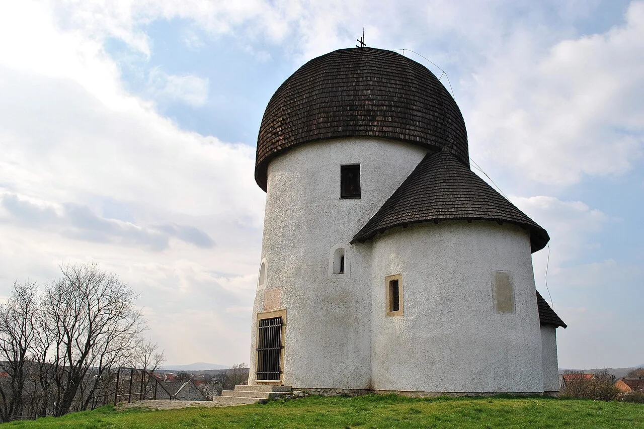
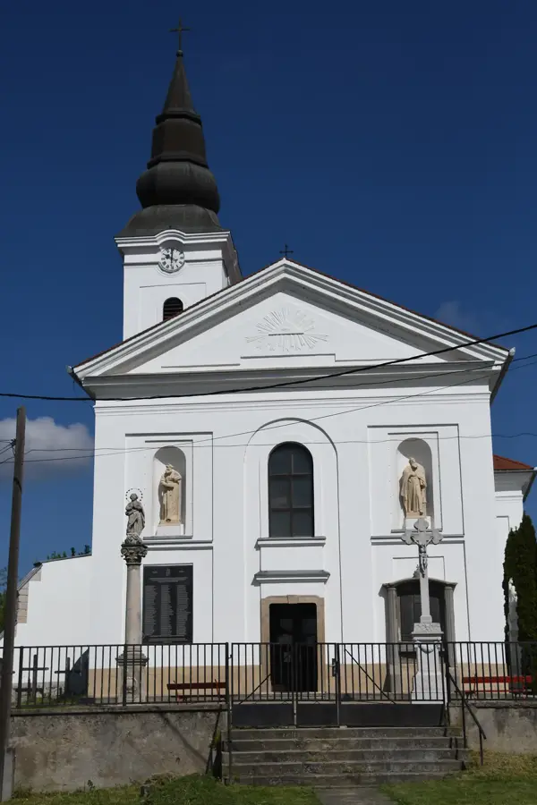
- Top sights: Vadaskert · Templom- Múzeum · Bissingen–Zichy-kúria
- Nearby: Balatonkenese (30 km)
Best time to visit & climate
The most pleasant time to visit is Jun–Aug.
| Jan | Feb | Mar | Apr | May | Jun | Jul | Aug | Sep | Oct | Nov | Dec | |
|---|---|---|---|---|---|---|---|---|---|---|---|---|
| Avg °C | -1 | 1 | 6 | 12 | 17 | 21 | 24 | 23 | 18 | 12 | 6 | 0 |
| Rain mm | 37 | 41 | 39 | 34 | 63 | 67 | 62 | 60 | 59 | 50 | 42 | 42 |
📋 Practical info
Geography
Facts
- The total length of the canal is nearly 100 kilometers.
- Draining the marshes was one of the largest investments of the 19th century.
- The canal bed follows a geological fault line on the plain.
- Plays a vital role in the flood protection system of Fejér County.
- The protected Great Bittern and Purple Heron nest in its reed beds.
- Water quality is continuously monitored to protect fish populations.
- An important trade route ran along the Sárvíz during the Roman era.
- The service road along the canal is popular among cyclists.
Explore nearby
Notable places around
Route planner — Car & Motorhome
Where do you start? We build the route here, with stops and country notes along the way.
© OpenStreetMap contributors · OpenRouteService
Sights in the town Sarviz River (6)
Sights nearby
Frequently asked questions
Is the Sárvíz a natural river?
Can you paddle on the Sárvíz?
What is the significance of the Sárvíz Valley?
Are there fishing opportunities?
Where is the best place to observe the wildlife?
Sarviz River: where is it located?
Sarviz River: what is there to see?
Sarviz River: when is the best time to visit?
Sarviz River: why is it worth visiting?

Nearby cities

History & landmarks
Nature

More places