Plizio Visual Lab
La Maná
ℹ️Practical info — La Maná
▾
🌤 Weather — 5 days
📍 Nearby
Sights nearby
💡 Tips
- Rent a sturdy vehicle if you plan to explore the many waterfalls in the surrounding mountains.
- The climate is humid and warm, so pack light, breathable clothing and rain gear.
- Ask locals for directions to the less crowded waterfalls in the region.
- Always carry some cash as many rural spots and small eateries don't accept cards.
🍽 Food
This fish is farmed in the region; enjoy it fried crispy in the local riverside restaurants.
Try these thick, fried plantain slices, often served with a coconut-based stew.
Order freshly squeezed juice made from local fruits like passion fruit or soursop with lunch.
🛍 Shopping · 🧘 Quiet spots
The area is known for growing cacao; look for artisanal chocolate or cacao beans at the market.
Buy orito bananas and other fresh fruits at the bustling Sunday market.
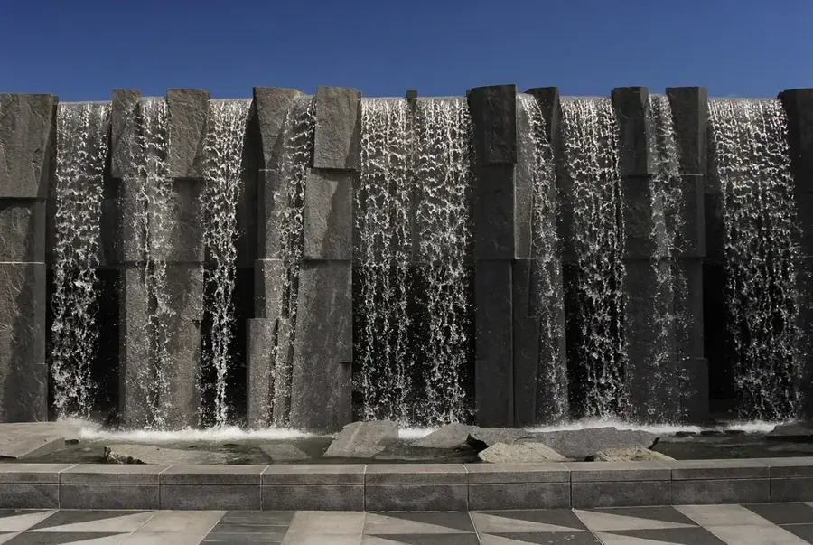
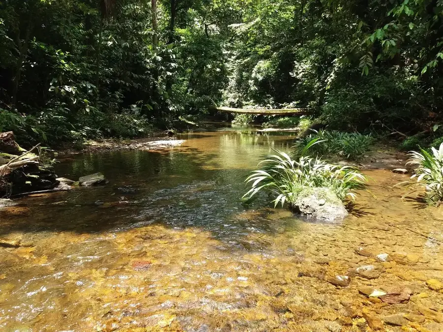
Escape to the nearby cloud forest and enjoy the sound of falling water at the countless waterfalls.
Find a quiet spot by the river just outside the town to relax.
Water temperature…
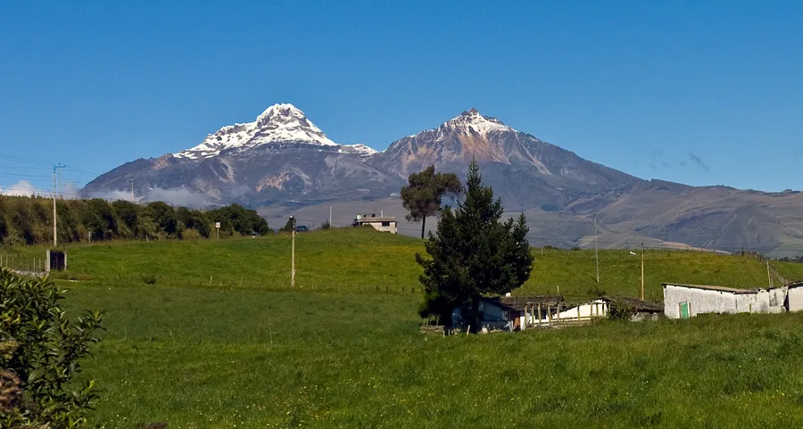
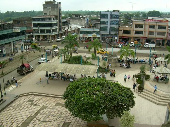
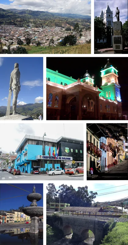
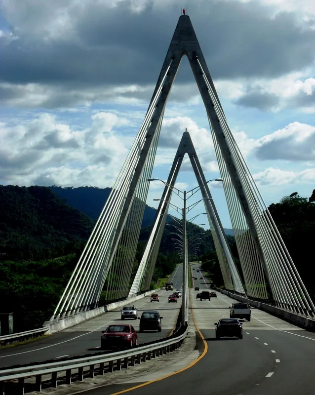
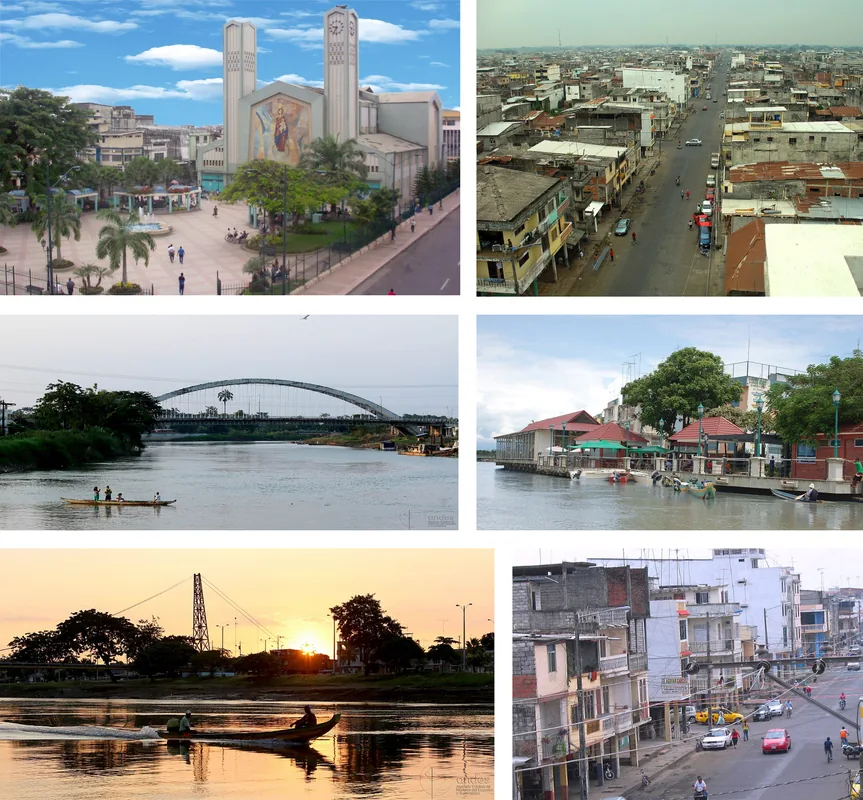
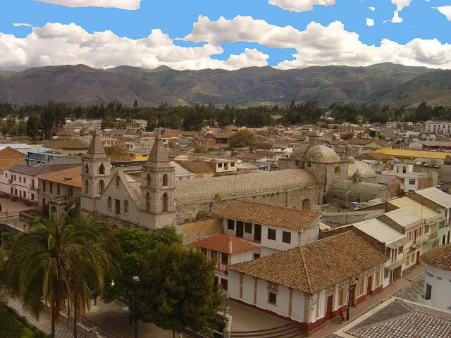
La Maná is a city located in the Cotopaxi Province of Ecuador, situated on the western foothills of the Andes Mountains at an altitude of approximately 200 meters. Its geographic position makes it a strategic transition point between the coastal plains and the mountainous highlands, contributing to a humid tropical climate. The city was officially established as a canton on May 19, 1986, following rapid growth driven by its fertile soils and nearby mining activities. Today, the economy of the region is primarily powered by the production of bananas, cocoa, tobacco, and various citrus fruits for national and international markets. The surrounding landscape is characterized by lush vegetation and numerous waterfalls, such as the famous Seven Cascades of Zapanal, which are central to the local tourism industry. As a vital transportation link, the city connects the Pacific coast with the central Andean corridor via the Latacunga-La Maná highway. The local culture is a unique blend of coastal and highland traditions due to its location at the intersection of two distinct regions.
- Location: Ecuador
- Top sights: Mirador La Juliana · Hosteria Acúatica Carlos Patricio · Capilla Loma de la Virgen
- Nearby: Quevedo (26 km)
- Population: ~16.450 (2024)
Best time to visit & climate
The most pleasant time to visit is Jul–Sep.
| Jan | Feb | Mar | Apr | May | Jun | Jul | Aug | Sep | Oct | Nov | Dec | |
|---|---|---|---|---|---|---|---|---|---|---|---|---|
| Avg °C | 12 | 12 | 12 | 12 | 12 | 11 | 11 | 11 | 11 | 12 | 12 | 12 |
| Rain mm | 124 | 141 | 159 | 160 | 119 | 85 | 65 | 53 | 52 | 92 | 101 | 104 |
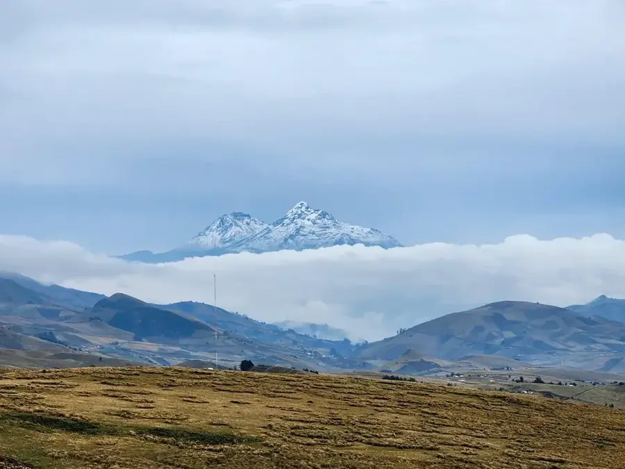
Geography
Facts
- The canton was officially established on May 19, 1986.
- The average elevation of the city is 200 meters above sea level.
- Major agricultural exports include bananas, cocoa, and tobacco.
- The Seven Cascades of Zapanal are located in the vicinity.
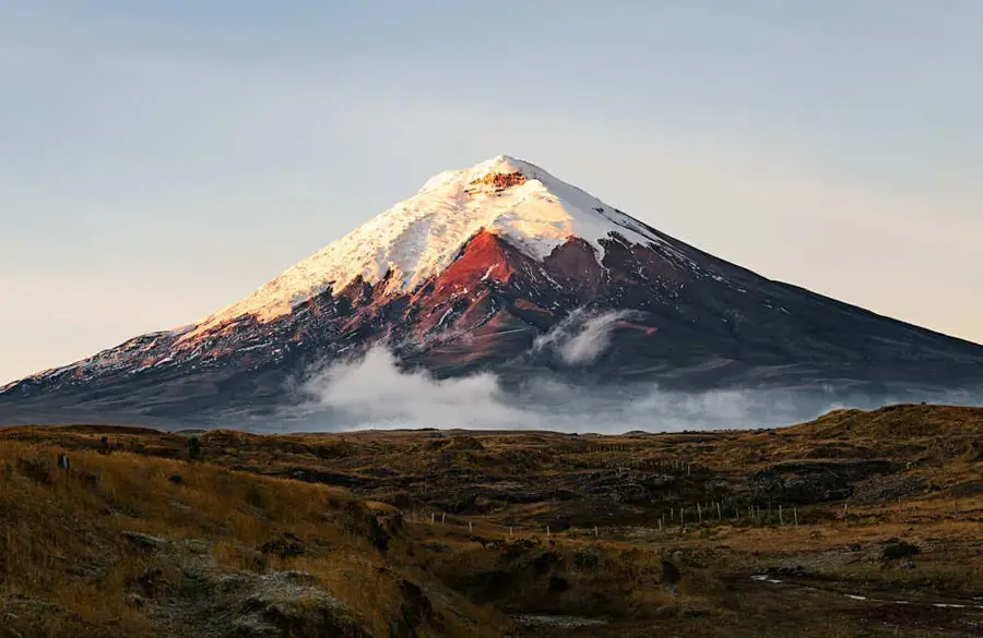
- The city is part of the Cotopaxi Province in western Ecuador.
- It features a humid tropical climate throughout the year.
Explore nearby
Notable places around
Route planner — Car & Motorhome
Where do you start? We build the route here, with stops and country notes along the way.
© OpenStreetMap contributors · OpenRouteService
Sights in the town La Maná (5)
Frequently asked questions
What are the 'Seven Waterfalls' of La Maná?
Why is the city economically important?
How is the connection to other cities?
Are there local legends?
What is the best souvenir?
La Maná: where is it located?
La Maná: what is there to see?
La Maná: when is the best time to visit?
La Maná: why is it worth visiting?

Nearby cities


History & landmarks
Nature
More places