Plizio Visual Lab
Quilotoa Crater Lake
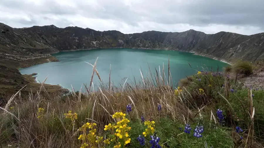
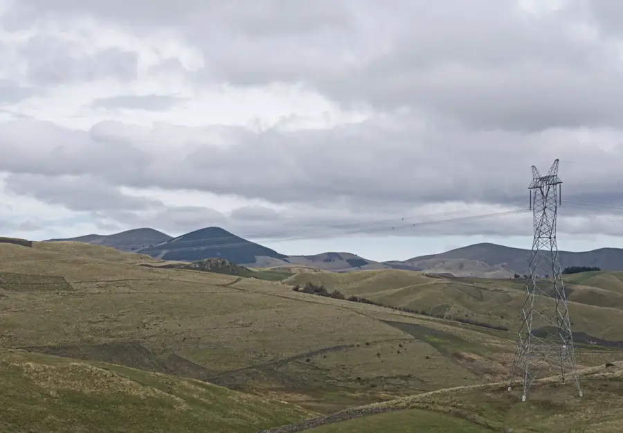
Quilotoa is a water-filled caldera and the westernmost volcano in the Ecuadorian Andes. The caldera was formed approximately 800 years ago during a massive VEI-6 eruption that sent pyroclastic flows and ash as far as the Pacific Ocean. The crater lake has a diameter of about three kilometers and reaches a depth of approximately 250 meters. Its distinctive greenish-turquoise color is caused by dissolved minerals emanating from volcanic vents at the bottom of the lake. Indigenous communities live in the surrounding highlands, maintaining traditional agricultural practices and managing local tourism. The hiking trail along the crater rim features varying perspectives of the lagoon and the distant peaks of the Andes. Due to the high alkalinity of the water, no fish inhabit the lake, limiting its aquatic life to specialized microorganisms. The site is located within the Los Ilinizas Ecological Reserve and serves as a significant area for geological research and high-altitude trekking.
- Location: Ecuador
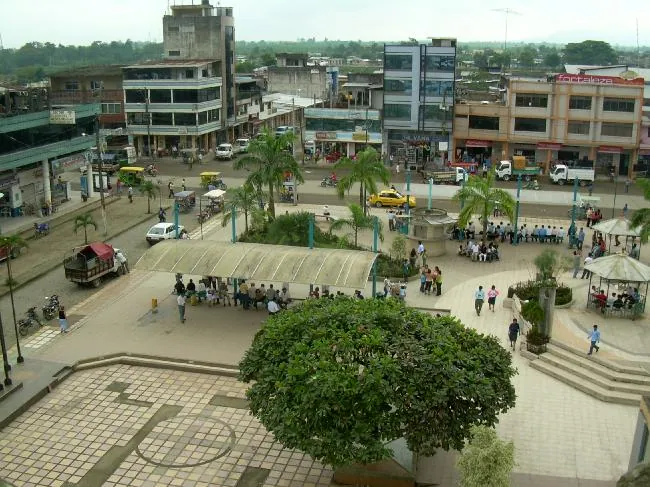
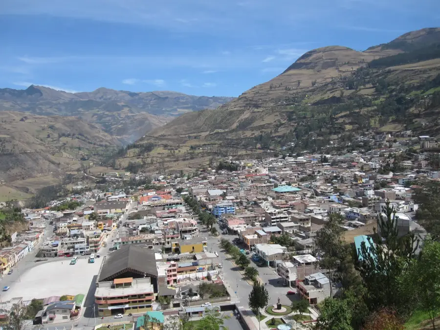
- Top sights: Mirador Cañón del Toachi · Wooden Bridge · Doble echo
- Nearby: Saquisilí (26 km)
Best time to visit & climate
The most pleasant time to visit is Jul–Sep.
| Jan | Feb | Mar | Apr | May | Jun | Jul | Aug | Sep | Oct | Nov | Dec | |
|---|---|---|---|---|---|---|---|---|---|---|---|---|
| Avg °C | 12 | 12 | 12 | 12 | 12 | 11 | 11 | 11 | 11 | 12 | 12 | 12 |
| Rain mm | 124 | 141 | 159 | 160 | 119 | 85 | 65 | 53 | 52 | 92 | 101 | 104 |
📋 Practical info
Geography
Facts
- The caldera was formed by a cataclysmic eruption around the year 1280.
- The crater lake sits at an altitude of 3,914 meters above sea level.
- The maximum depth of the lake is estimated to be 250 meters.
- Dissolved minerals give the water a unique greenish-turquoise hue.
- The rim of the crater has a total diameter of approximately 3 kilometers.
- Quilotoa is part of the Los Ilinizas Ecological Reserve.
Explore nearby
Notable places around
Route planner — Car & Motorhome
Where do you start? We build the route here, with stops and country notes along the way.
© OpenStreetMap contributors · OpenRouteService
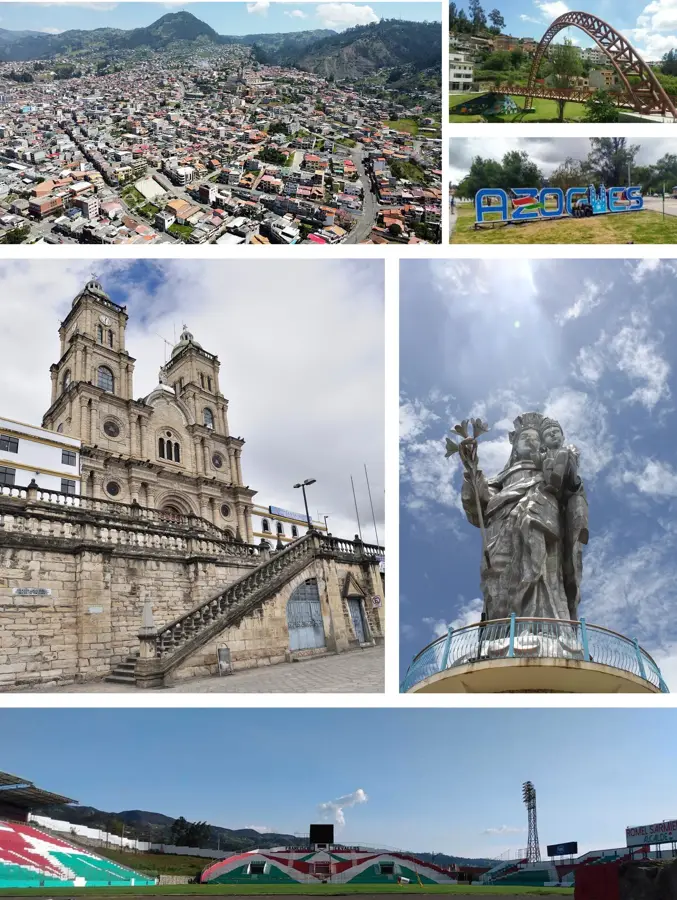
Sights in the town Quilotoa Crater Lake (8)
Sights nearby
Frequently asked questions
What color is the water?
Can you swim in the crater lake?
How do you get from the rim to the lake?
Are there toilets at the lake?
Can you go boating on the lake?
Quilotoa Crater Lake: where is it located?
Quilotoa Crater Lake: what is there to see?
Quilotoa Crater Lake: when is the best time to visit?
Quilotoa Crater Lake: why is it worth visiting?

Nearby cities
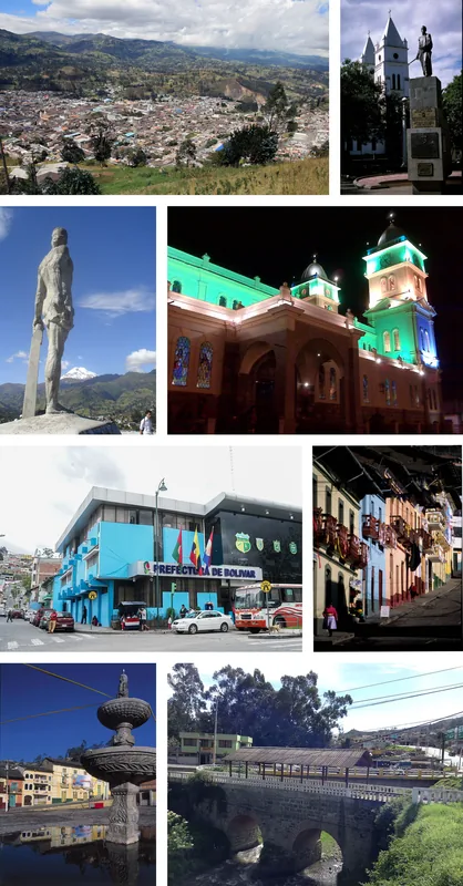
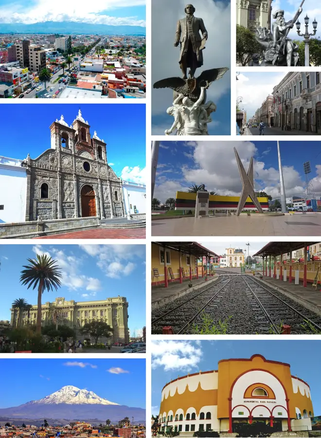

History & landmarks

More places