Plizio Visual Lab
Babahoyo
ℹ️Practical info — Babahoyo
▾
🌤 Weather — 5 days
📍 Nearby
Sights nearby
💡 Tips
- Take a boat ride on the Babahoyo River to see the floating houses typical of the region.
- Visit the house of José Joaquín de Olmedo for a glimpse into Ecuador's history.
- Enjoy the tropical climate, but don't forget sunscreen and an umbrella.
- City walking is easy, as the streets are flat and laid out in a grid.
🍽 Food
Fish or chicken steamed in bijao leaves, often found in traditional restaurants near the river.
Try this fresh seafood dish at the local cevicherias.
A hearty breakfast of mashed plantains with cheese or pork, served in cafes.
🛍 Shopping · 🧘 Quiet spots
Buy fresh agricultural products from the surrounding area at the city's main markets.
Small stalls along the Malecón often offer regional handicrafts.
The river promenade is convenient for a relaxing evening walk when the breeze is cooler.
The historical gardens around Olmedo's house offer a peaceful retreat.
Water temperature…
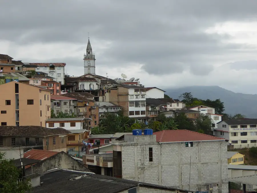
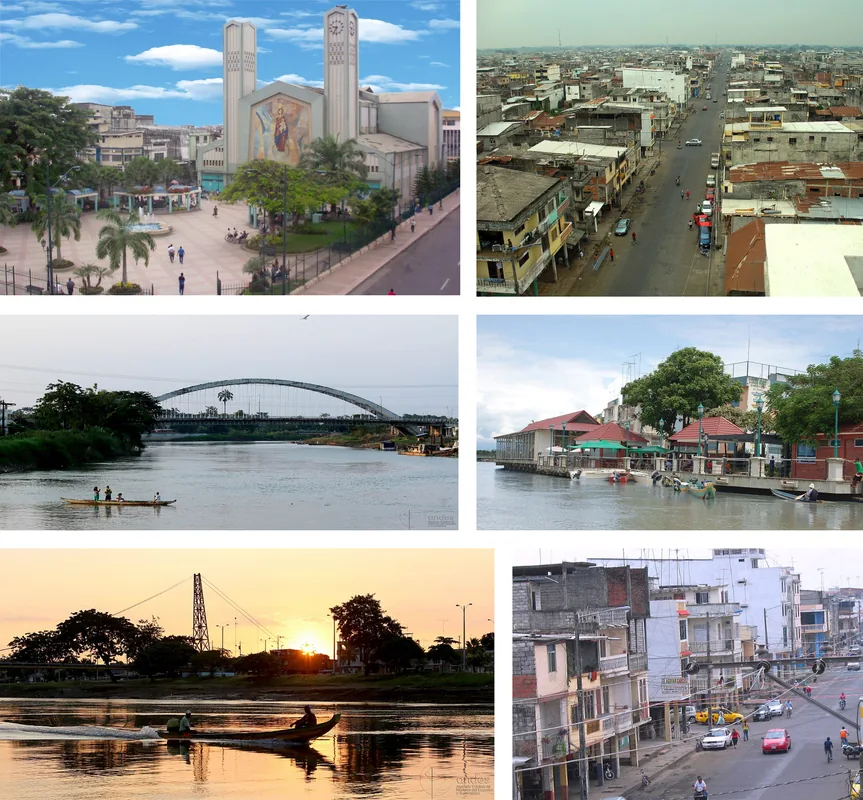
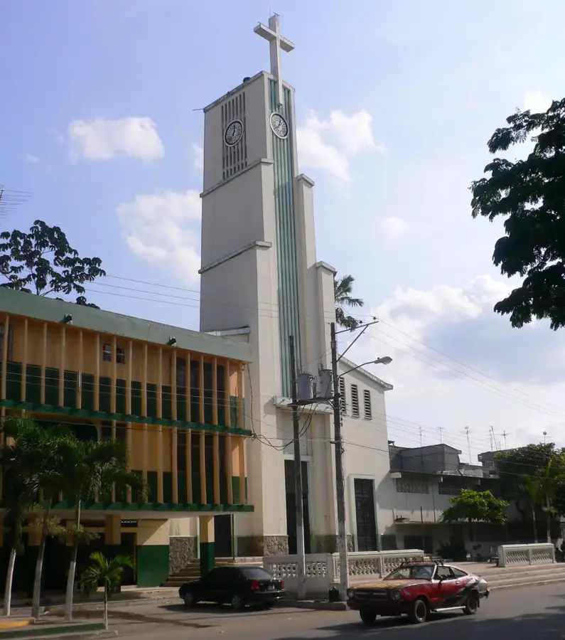
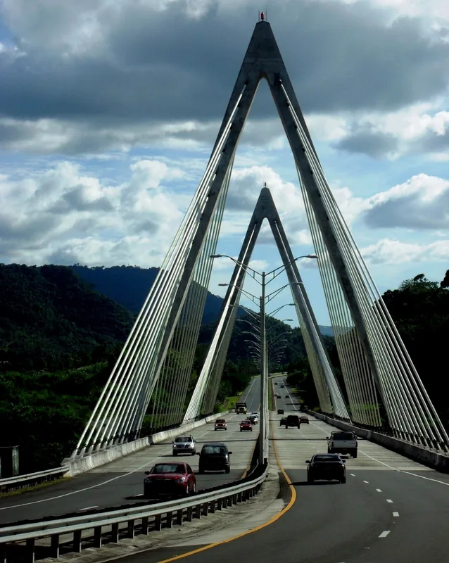
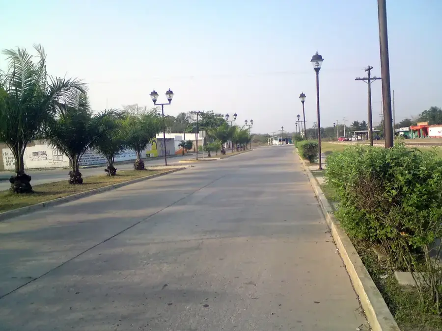
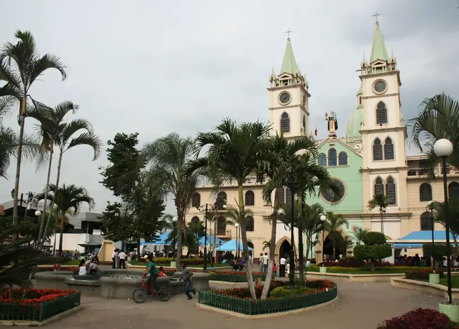
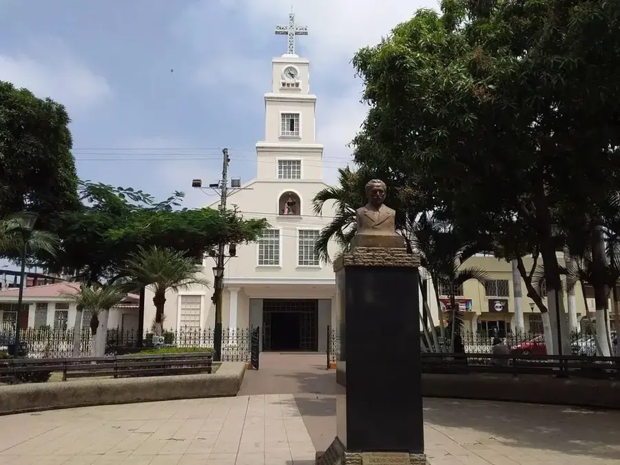
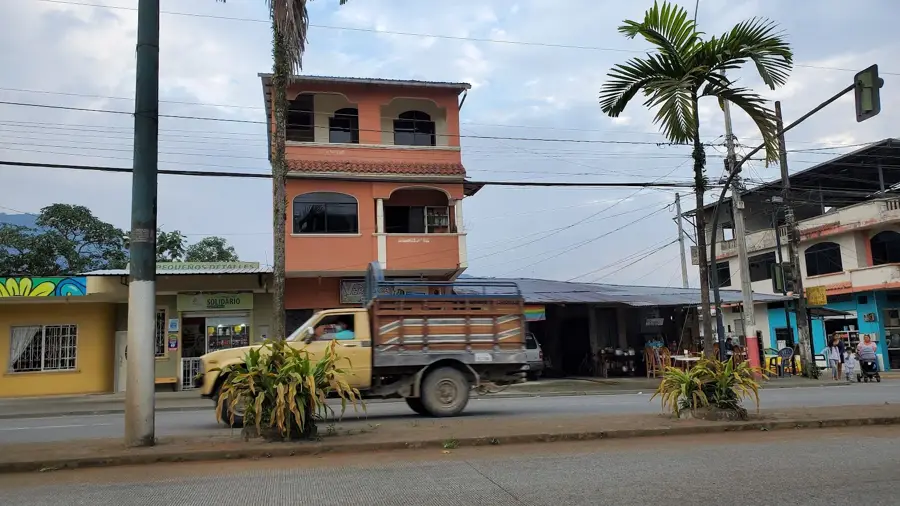
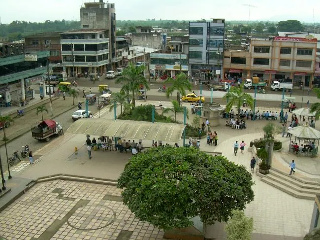
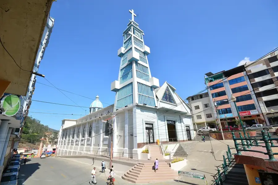
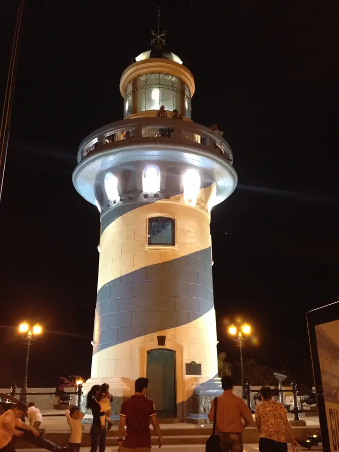
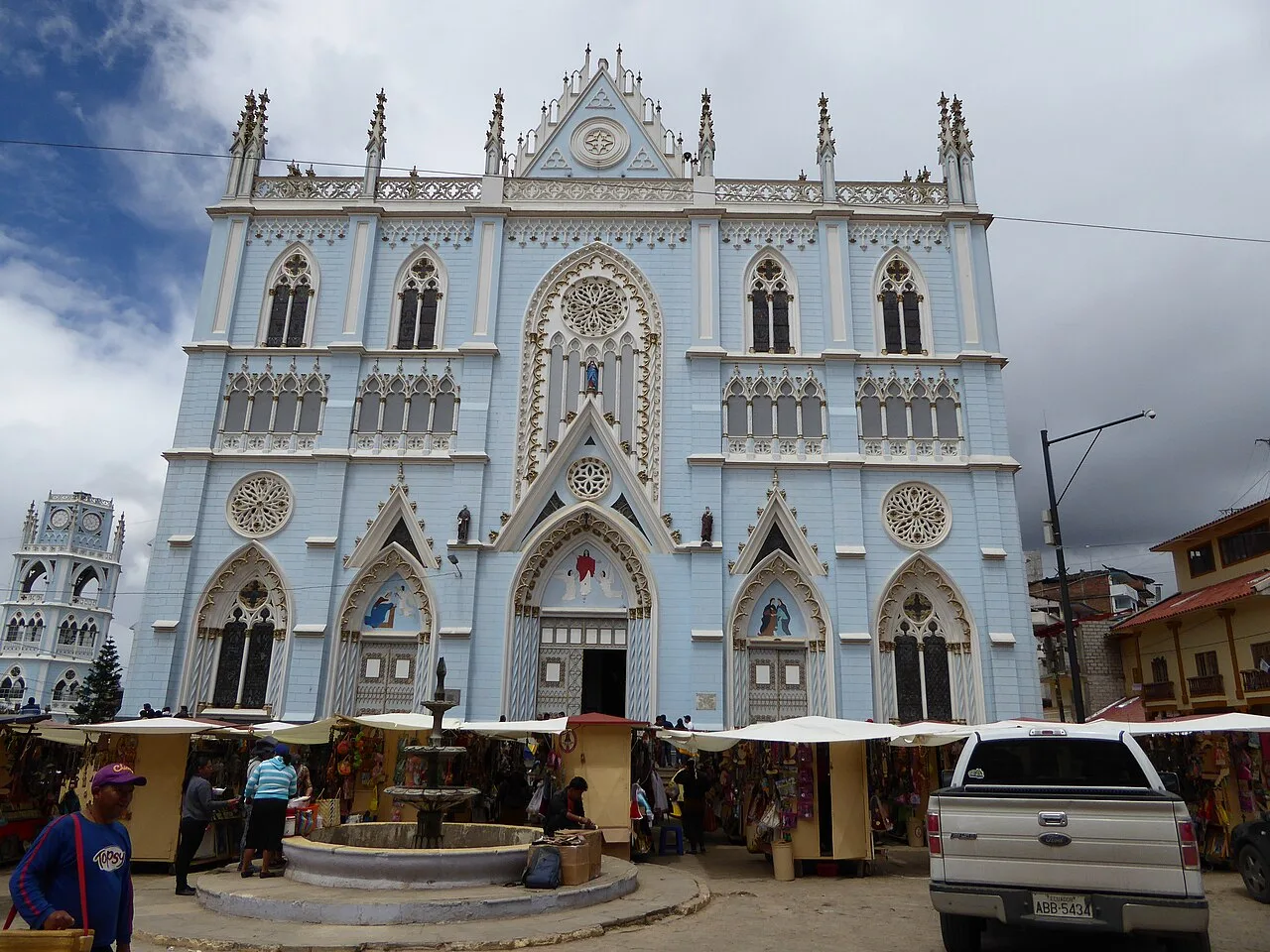
Babahoyo, the capital of the Los Ríos province in Ecuador, is a pivotal urban center located in the country's fertile coastal lowlands. Situated at the confluence of the Babahoyo and Caracol rivers, the city has functioned since colonial times as a vital inland port and a bridge between the Pacific coast and the Andean highlands. One of the most distinctive features of Babahoyo is its community of floating houses on the river. These unique structures, built on balsa wood rafts, allow residents to adapt to the significant seasonal fluctuations of the river's water level and represent a centuries-old tradition of fluvial living. Babahoyo is often hailed as the rice capital of Ecuador, as it lies at the heart of the nation's most productive paddy fields. The surrounding landscape is dominated by vast plantations of bananas, cocoa, and tropical fruits, making it a cornerstone of the national agricultural economy. The city experiences a tropical wet climate, characterized by high humidity and warmth throughout the year, which fuels the lush environment but also necessitates robust flood management systems. Culturally, the city is a bastion of the 'Montubio' identity, the distinct rural culture of the Ecuadorian coast known for its equestrian skills, oral traditions, and unique folk music. The historic center features landmarks like the Cathedral of Our Lady of Mercedes, notable for its grand mosaic facade. In recent decades, Babahoyo has undergone significant urban renewal, including the construction of modern bridges and the development of the 'Malecón 9 de Octubre,' a riverside promenade that serves as a hub for social activity and tourism. As a key transit point on the highway connecting Guayaquil to Quito, Babahoyo remains a bustling commercial hub where traditional river commerce meets modern terrestrial logistics. The city also provides opportunities for ecotourism, with boat tours along the river providing a close-up look at the rich biodiversity of the tropical riverbanks, including iguanas and a variety of aquatic birds.
- Location: Ecuador
- Top sights: La Casa de Olmedo · Gnosis · Iglesia Católica San Juan Bautista de Pimocha
- Nearby: Milagro (10 km)
- Population: ~76.279 (2025)
Best time to visit & climate
The most pleasant time to visit is Jul–Sep.
| Jan | Feb | Mar | Apr | May | Jun | Jul | Aug | Sep | Oct | Nov | Dec | |
|---|---|---|---|---|---|---|---|---|---|---|---|---|
| Avg °C | 23 | 23 | 23 | 23 | 23 | 23 | 24 | 24 | 24 | 23 | 23 | 23 |
| Rain mm | 123 | 195 | 198 | 138 | 63 | 33 | 21 | 18 | 16 | 30 | 34 | 46 |
Geography
Facts
- Babahoyo was officially designated as a province capital on May 27, 1869.
- The city sits at an average altitude of only 6 meters (20 feet) above sea level.
- The Babahoyo River meets the Daule River to form the Guayas River near Guayaquil.
- The 'Floating Houses' are unique to this city and a few other river settlements in the region.
- Babahoyo is a major collection point for the high-quality cocoa bean trade.
- The city celebrates its patron saint festival, Virgen de la Merced, in September.
- Average annual rainfall in the region exceeds 2,000 mm during the wet season.
- The city's name is said to come from the 'Babahoyus' indigenous tribe that once lived there.
Explore nearby
Notable places around
Route planner — Car & Motorhome
Where do you start? We build the route here, with stops and country notes along the way.
© OpenStreetMap contributors · OpenRouteService
Sights in the town Babahoyo (7)
Frequently asked questions
What is the main attraction in Babahoyo?
Can you take boat tours?
What is the landmark of the city?
What is the climate like there?
Are there historical buildings?
Babahoyo: where is it located?
Babahoyo: what is there to see?
Babahoyo: when is the best time to visit?
Babahoyo: why is it worth visiting?

Nearby cities


History & landmarks
More places