Plizio Visual Lab
Velasco Ibarra

ℹ️Practical info — Velasco Ibarra
▾
🌤 Weather — 5 days
📍 Nearby
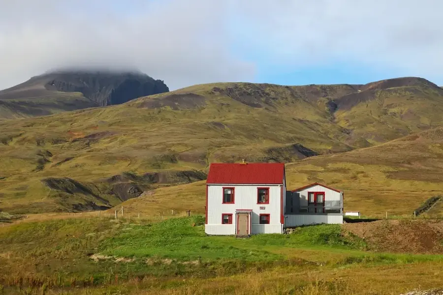
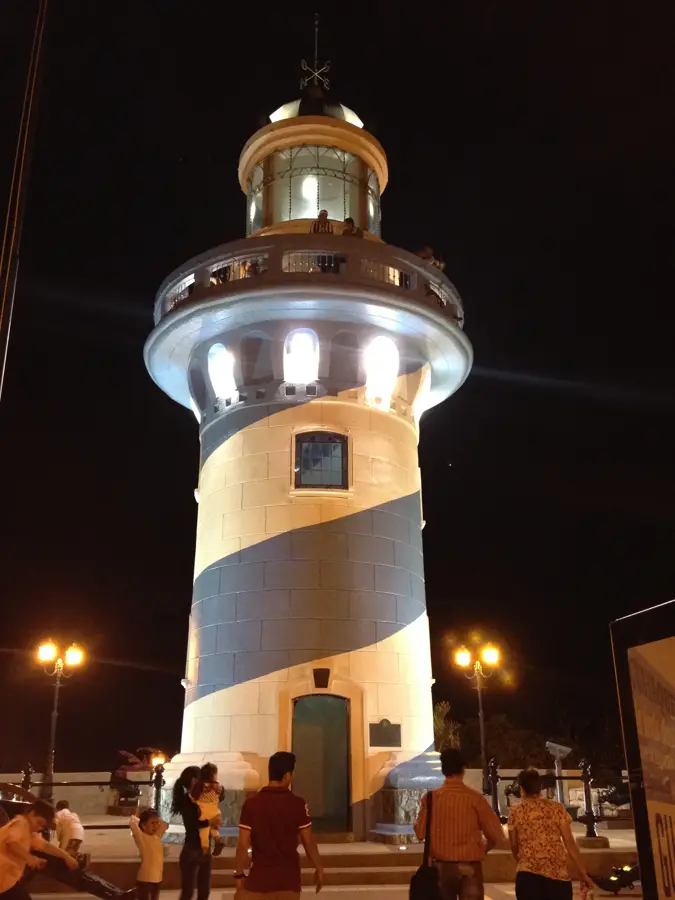
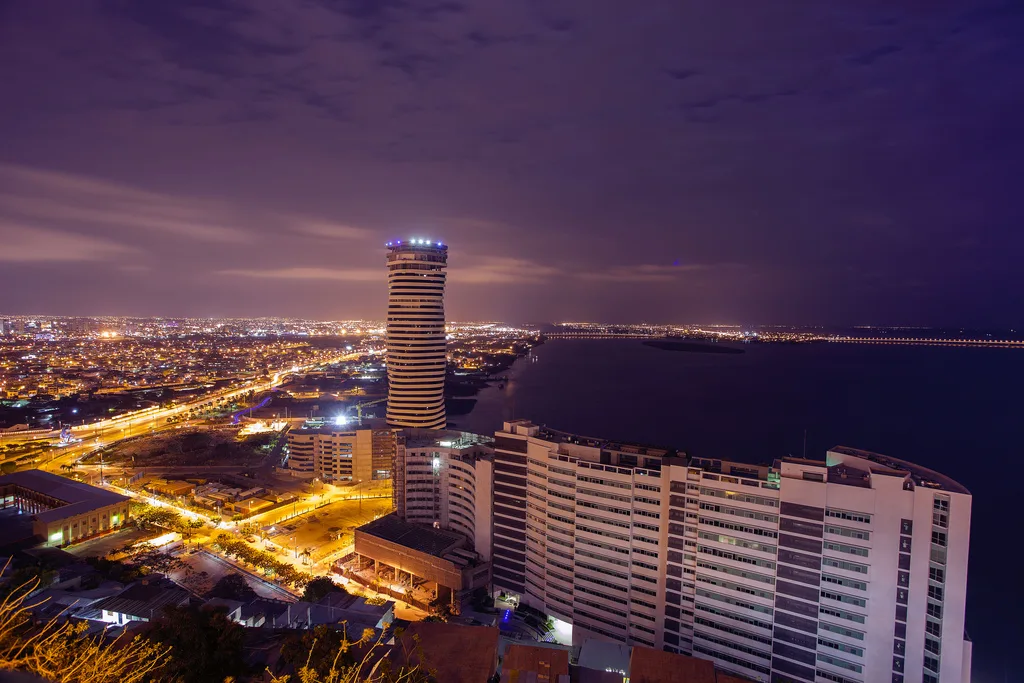
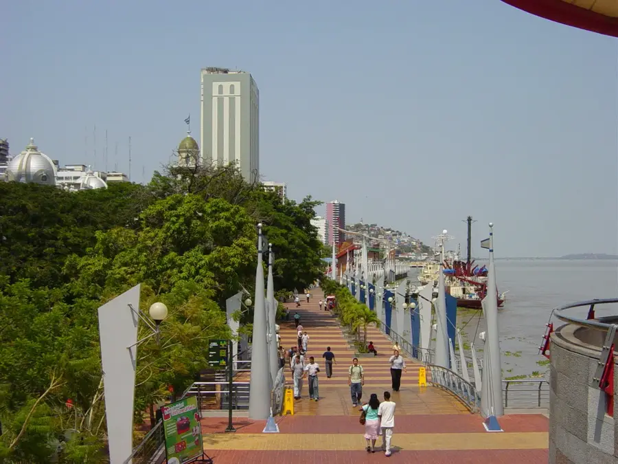
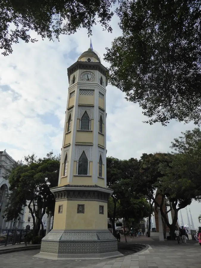
Sights nearby
💡 Tips
- As a major transport hub, it's great for catching buses to almost anywhere on the coast.
- Always keep an eye on your belongings at the busy bus terminal.
- Try the fresh fruit juices at the terminal stands while waiting for your connection.
- The weather is hot, so opt for light, breathable clothing.
🍽 Food
A hearty fish stew found at early morning diners near the bus terminal.
A traditional chicken stew served with yellow rice and plantains at local eateries.
Green plantain pastries filled with cheese or meat from street vendors.
🛍 Shopping · 🧘 Quiet spots
Convenient spots to buy local snacks and travel essentials.
Head here for regional agricultural produce and cheap clothing.
A shaded area in the middle of town to relax before your next bus ride.
Take a short walk to the outskirts to see the peaceful plantations.
Water temperature…
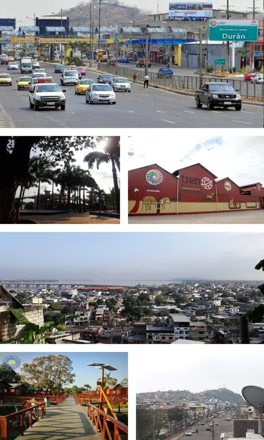
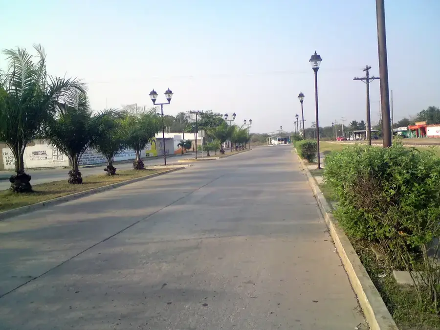
Velasco Ibarra, frequently referred to as El Empalme, is a strategically important city located in the northern Guayas Province of Ecuador. The city is situated at a major road junction where routes from the Guayas, Manabí, and Los Ríos provinces meet (giving rise to the name 'El Empalme', meaning 'the junction'). It was officially named in honor of José María Velasco Ibarra, who served as President of Ecuador five times. Surrounded by lush tropical vegetation, the region's economy is primarily driven by agriculture, with cocoa, coffee, and bananas being the principal export products. Historically, the canton was established on June 23, 1971, following a rapid increase in settlement due to new highway constructions. Geographically, the city benefits from its proximity to the Daule-Peripa reservoir, which is crucial for the region's irrigation and hydroelectric power. Velasco Ibarra acts as a pivotal commercial hub for agricultural trade in the Ecuadorian heartland.
- Location: Ecuador
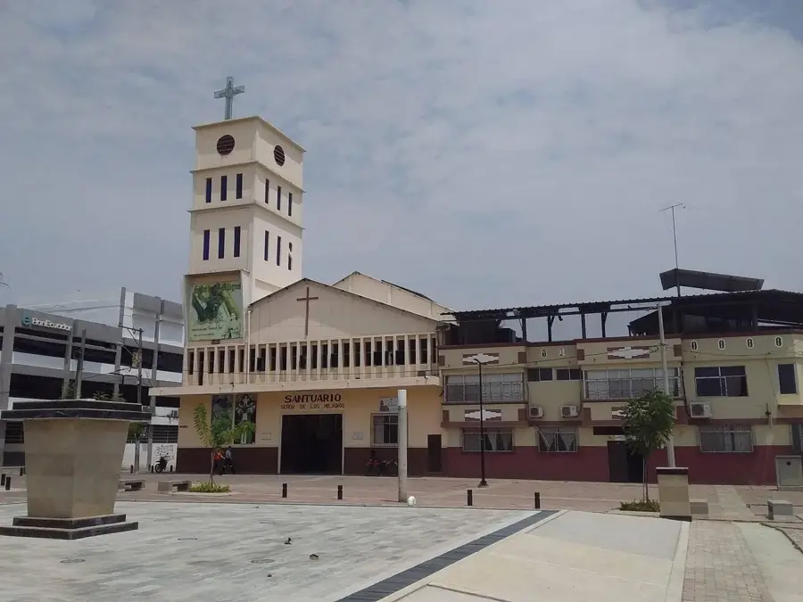
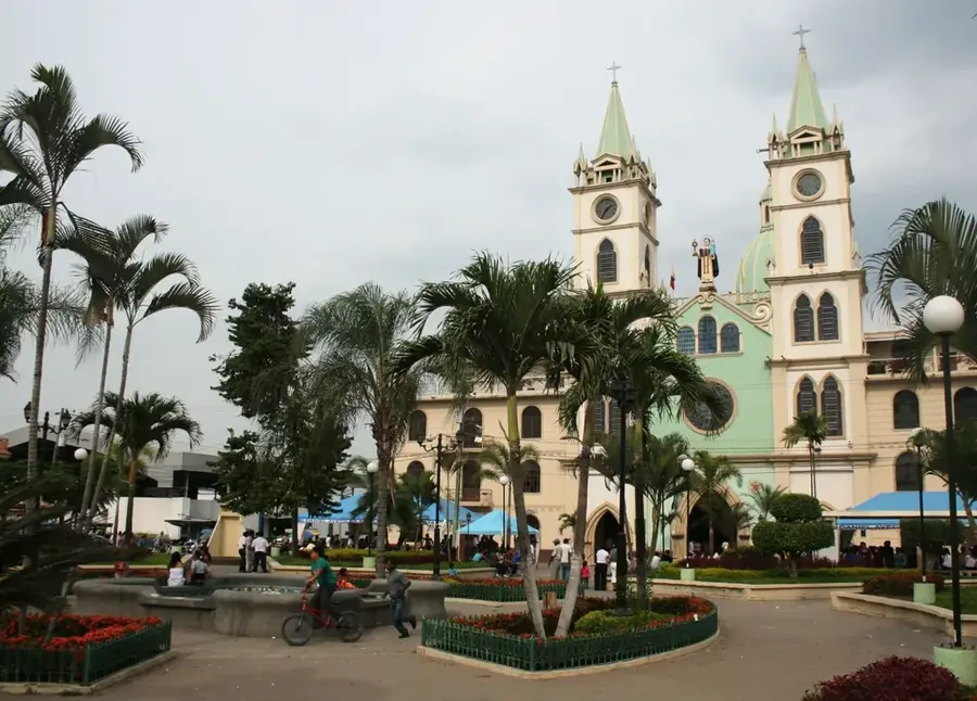
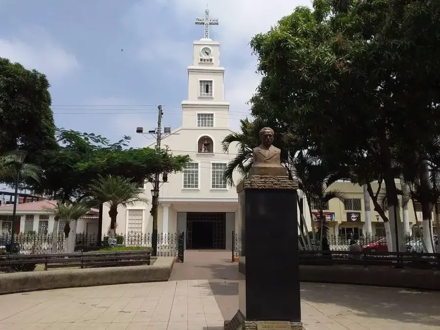
- Top sights: Iglesia Católica Nuestra Señora de Fátima | El Empalme · Español
- Nearby: Vinces (16 km)
- Population: ~48.754 (2024)
Best time to visit & climate
The most pleasant time to visit is Jul–Sep.
| Jan | Feb | Mar | Apr | May | Jun | Jul | Aug | Sep | Oct | Nov | Dec | |
|---|---|---|---|---|---|---|---|---|---|---|---|---|
| Avg °C | 22 | 22 | 22 | 22 | 22 | 22 | 23 | 23 | 24 | 23 | 23 | 23 |
| Rain mm | 184 | 244 | 254 | 205 | 109 | 44 | 23 | 16 | 19 | 36 | 44 | 80 |
Geography
Facts
- Established as an independent canton on June 23, 1971.
- Located at an elevation of approximately 70 meters above sea level.
- Acts as a major junction for the E30 and E48 highways.
- Named after the former five-time President José María Velasco Ibarra.
- Situated near the Daule-Peripa reservoir, the largest in Ecuador.
- The local economy is heavily dominated by the agro-industrial sector.
Explore nearby
Notable places around
Route planner — Car & Motorhome
Where do you start? We build the route here, with stops and country notes along the way.
© OpenStreetMap contributors · OpenRouteService
Sights in the town Velasco Ibarra (2)
Frequently asked questions
Where is Velasco Ibarra located?
Why does the city have this name?
What is the economic base?
What is the climate like?
Are there sights to see nearby?
Velasco Ibarra: where is it located?
Velasco Ibarra: what is there to see?
Velasco Ibarra: when is the best time to visit?
Velasco Ibarra: why is it worth visiting?

Nearby cities


History & landmarks


Nature
More places