Plizio Visual Lab
Cotopaxi
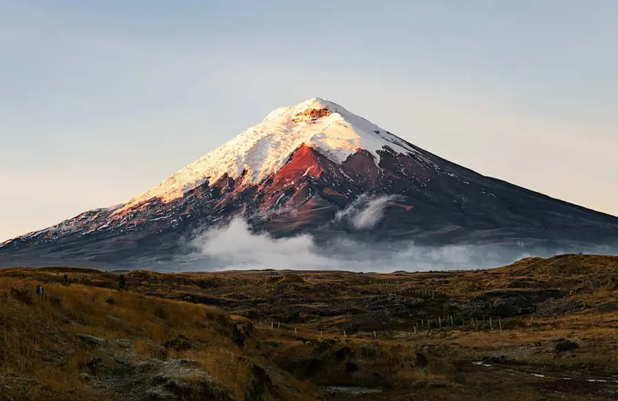
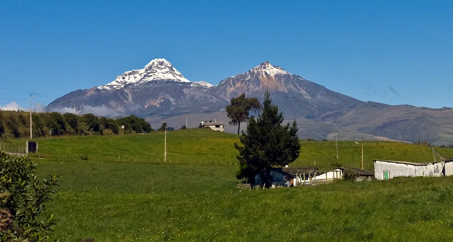
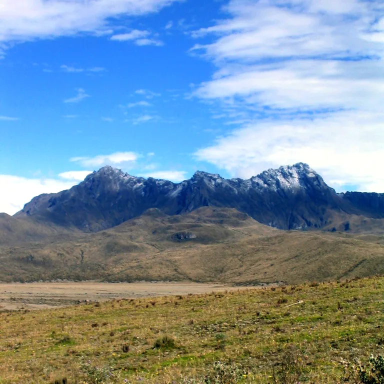
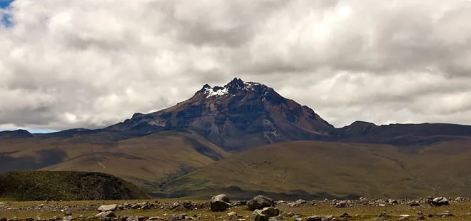
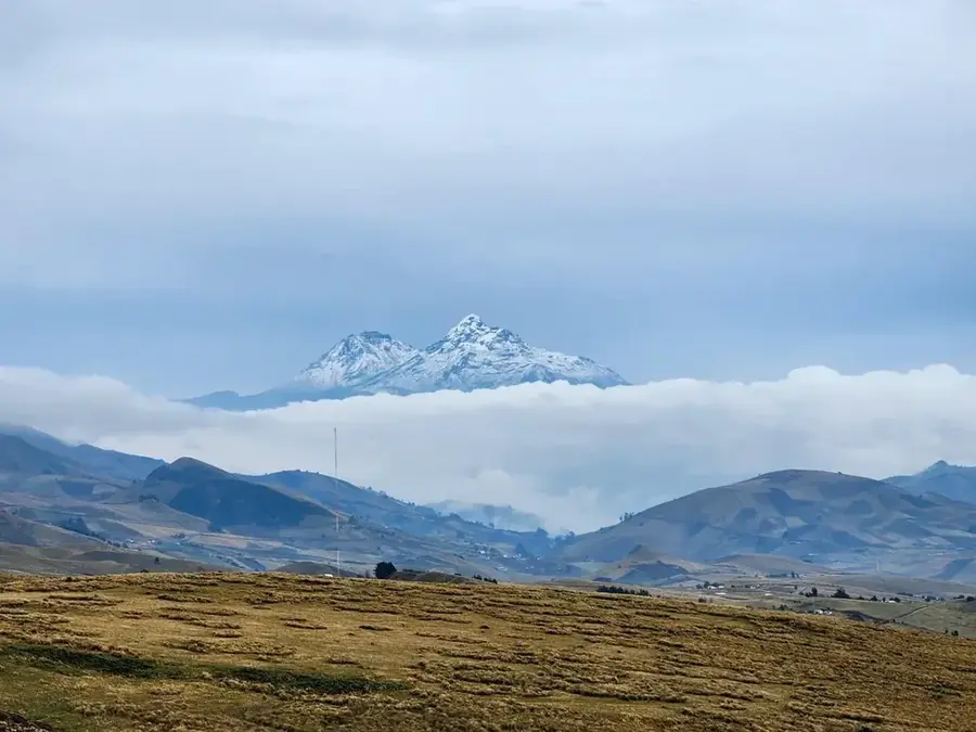
Cotopaxi is one of the highest active volcanoes in the world and an iconic symbol of Ecuador, known for its near-well-suited symmetrical cone. Located within the Cotopaxi National Park, approximately 50 kilometers south of Quito, it reaches an elevation of 5,897 meters (19,347 feet). Geologically, it is a stratovolcano topped by one of the few equatorial glaciers, which persists year-round despite its proximity to the line of the equator. The volcano's history is characterized by powerful and destructive eruptions; events in 1744, 1768, and 1877 produced massive lahars (mudflows) that traveled hundreds of kilometers, destroying nearby settlements. After a long period of dormancy, Cotopaxi showed renewed activity in 2015 and again in 2022, emitting significant ash clouds. It is a highly popular destination for mountaineers, offering a challenging but technically straightforward ice climb to the summit. The surrounding park protects a unique high-altitude ecosystem, home to Andean condors, wild horses, and the elusive Andean fox.
- Location: Ecuador
- Top sights: Ami Grande · Parque Nacional Cotopaxi
- Nearby: Sangolquí (8 km)
Best time to visit & climate
The most pleasant time to visit is Jul–Sep.
| Jan | Feb | Mar | Apr | May | Jun | Jul | Aug | Sep | Oct | Nov | Dec | |
|---|---|---|---|---|---|---|---|---|---|---|---|---|
| Avg °C | 14 | 14 | 14 | 15 | 15 | 14 | 14 | 14 | 14 | 14 | 14 | 14 |
| Rain mm | 132 | 142 | 169 | 168 | 117 | 63 | 43 | 33 | 41 | 80 | 92 | 100 |
📋 Practical info
Geography
Facts
- The summit of Cotopaxi stands at 5,897 meters above sea level.
- The volcano has erupted more than 50 times since 1738.
- The first successful ascent was made by Wilhelm Reiß in 1872.
- The summit crater has a diameter of approximately 800 meters.
- It is considered one of the most dangerous volcanoes in the world.
- The surrounding national park covers an area of 33,393 hectares.
Explore nearby
Notable places around
Route planner — Car & Motorhome
Where do you start? We build the route here, with stops and country notes along the way.
© OpenStreetMap contributors · OpenRouteService
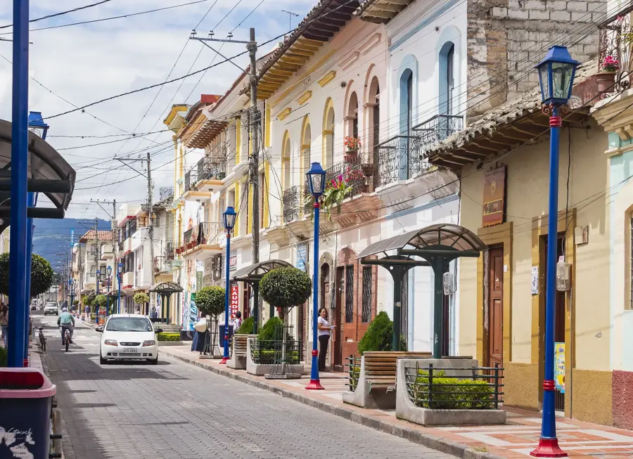
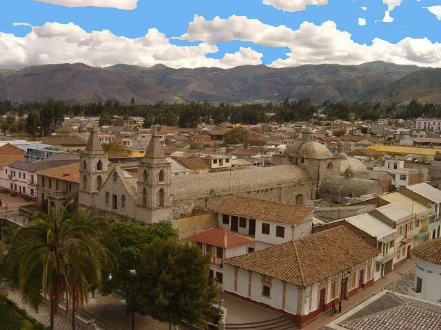
Sights in the town Cotopaxi (2)
Sights nearby
Frequently asked questions
Is Cotopaxi currently active?
Can you hike to the crater rim?
What is the Limpiopungo Lagoon?
How far is the park from Quito?
Are there accommodations in the national park?
Cotopaxi: where is it located?
Cotopaxi: what is there to see?
Cotopaxi: when is the best time to visit?
Cotopaxi: why is it worth visiting?

Nearby cities


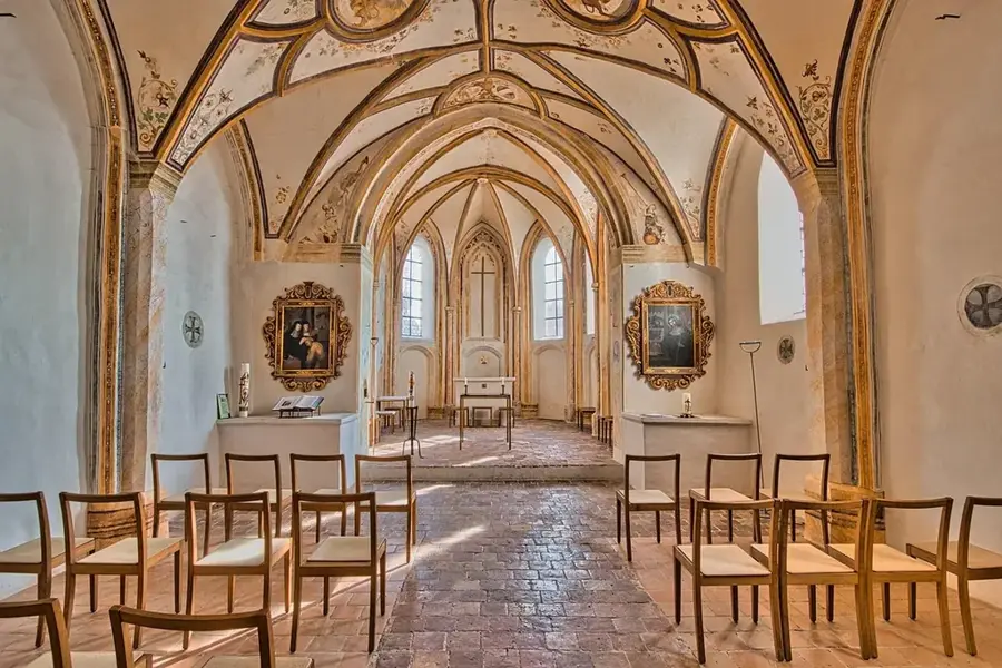
History & landmarks


Nature
More places