Plizio Visual Lab
Buena Fe
ℹ️Practical info — Buena Fe
▾
🌤 Weather — 5 days
📍 Nearby
Sights nearby
💡 Tips
- The weather is tropical and humid, so carry water and dress in light, breathable clothing.
- Public transport (buses and camionetas) is the primary way to get around to surrounding farms.
- Cash is essential, as many small vendors and agricultural markets do not accept cards.
- Visit the local markets early in the morning when the fresh produce arrives from the countryside.
🍽 Food
A classic coastal fish stew, typically eaten early in the day at small local eateries.
A savory plantain dumpling with cheese or meat, well-suited for breakfast at street food stands.
Buy mangoes, papayas, and fresh cacao directly from the agricultural market stands.
🛍 Shopping · 🧘 Quiet spots
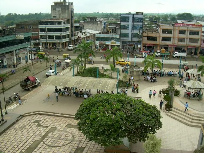
The bustling main hub for fresh, locally grown agricultural produce.
Look for locally processed cacao or artisanal chocolate at specialized agricultural stores.
Arrange a visit to a nearby hacienda for a peaceful walk among the plantations.
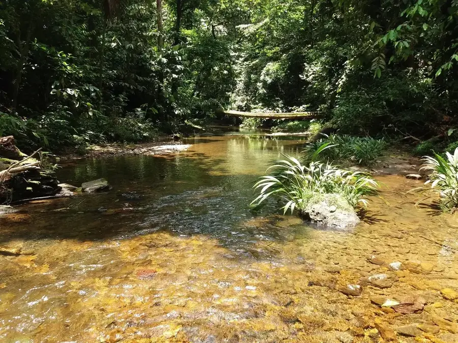
Look for calm spots along the nearby rivers for a relaxed afternoon away from the town center.
Water temperature…
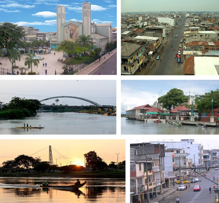
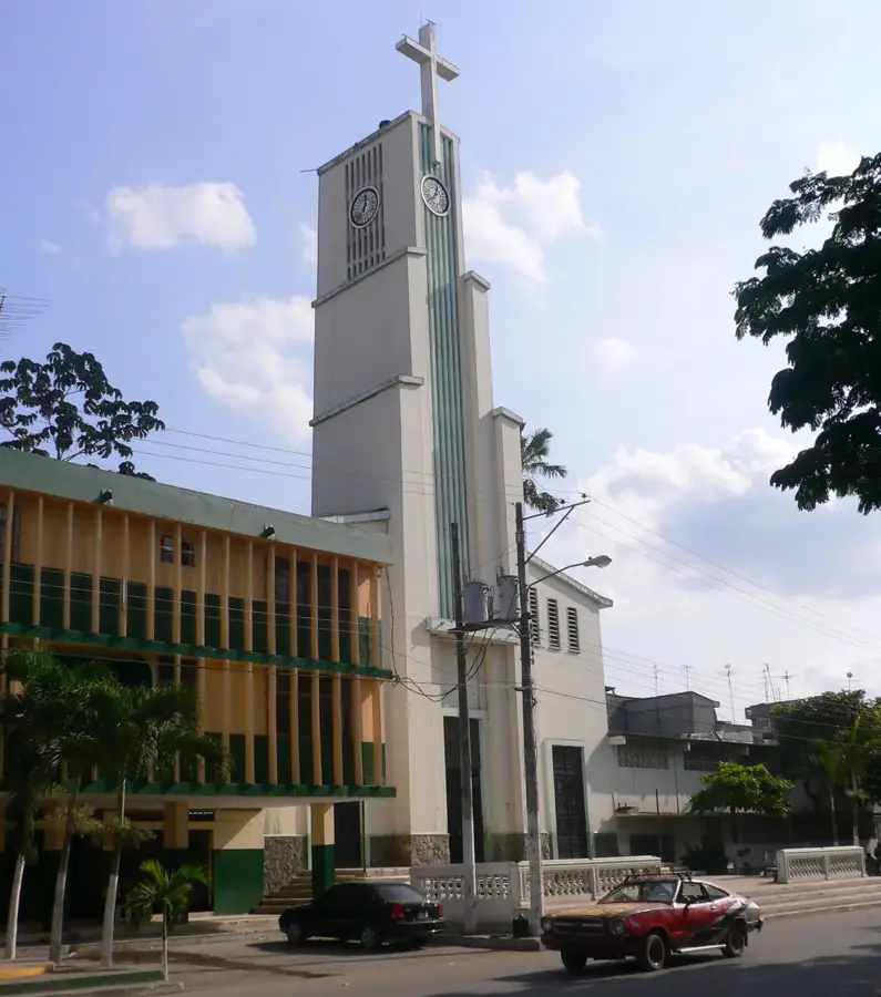
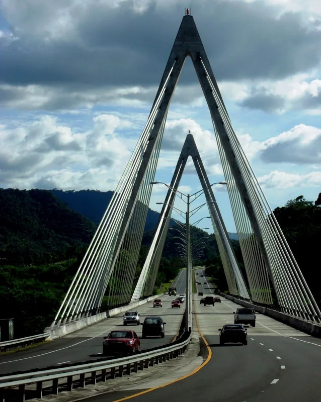
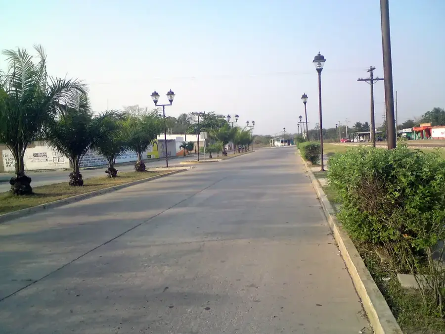
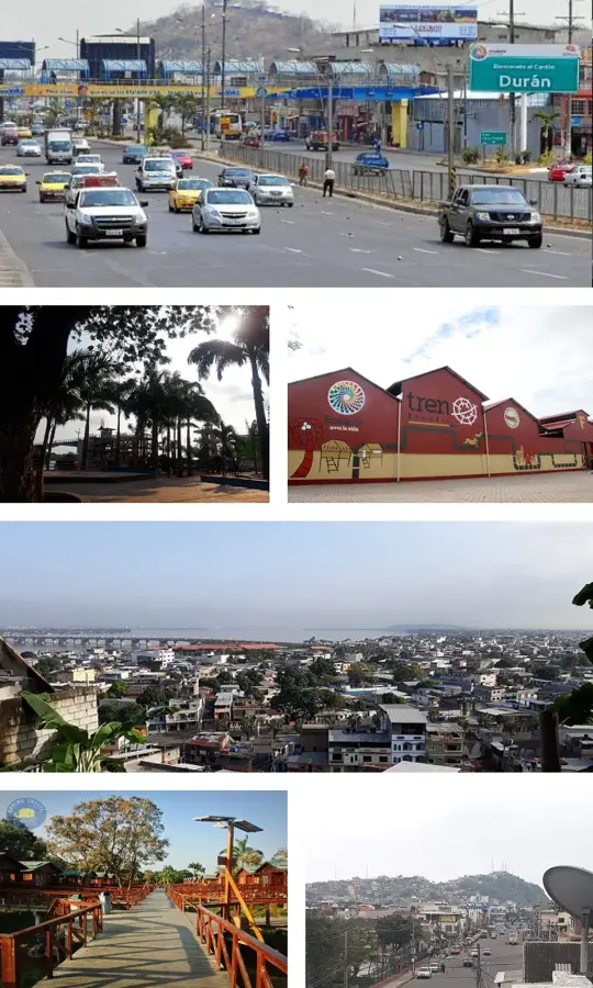
Buena Fe, officially known as San Jacinto de Buena Fe, is a rapidly growing city in the northern part of the Los Ríos Province in Ecuador. The city is situated in one of the country's most fertile agricultural zones and serves as a vital transportation hub along the E25 highway, connecting the highlands to the coast. Originally part of the Quevedo canton, it gained administrative independence on August 7, 1992, following a period of significant demographic expansion. The local economy is almost entirely based on agriculture, with a focus on producing bananas, cocoa, maize, and oil palms for export. Geographically, Buena Fe is characterized by a humid tropical climate and numerous watercourses that facilitate the irrigation of vast plantations. Culturally, the city reflects the 'Montubio' identity, the rural culture of the Ecuadorian coast known for its equestrian skills and distinctive folklore. Over the last few decades, Buena Fe has evolved into a major agro-industrial center.
- Location: Ecuador
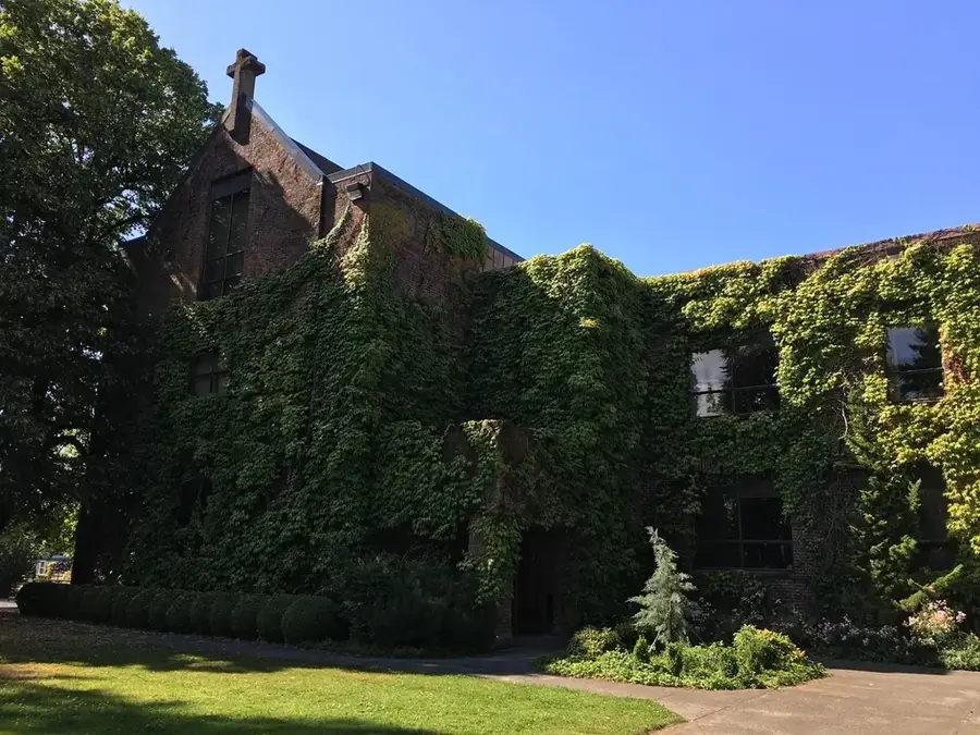
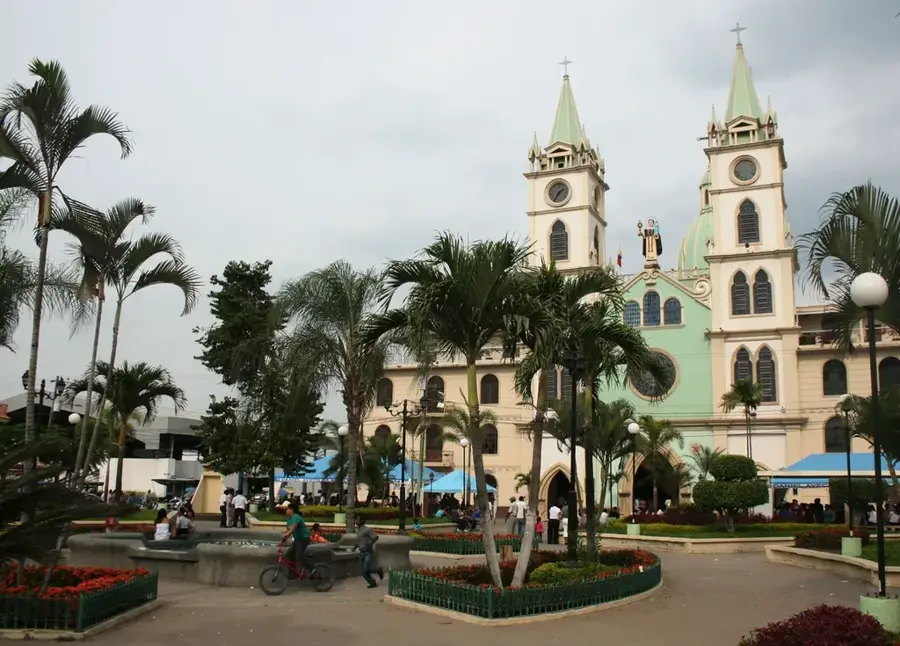
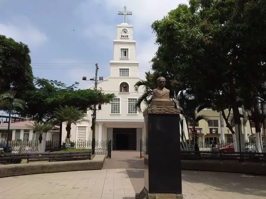
- Top sights: Kehila Judio Mesianico "Gozo y Paz" · Templo · Iglesia Católica San Jacinto de Buena Fe
- Nearby: Ventanas (12 km)
Best time to visit & climate
The most pleasant time to visit is Jul–Sep.
| Jan | Feb | Mar | Apr | May | Jun | Jul | Aug | Sep | Oct | Nov | Dec | |
|---|---|---|---|---|---|---|---|---|---|---|---|---|
| Avg °C | 22 | 22 | 22 | 22 | 22 | 22 | 23 | 23 | 24 | 23 | 23 | 23 |
| Rain mm | 184 | 244 | 254 | 205 | 109 | 44 | 23 | 16 | 19 | 36 | 44 | 80 |
Geography
Facts
- Officially established as an independent canton on August 7, 1992.
- Located at an elevation of approximately 100 meters above sea level.
- The name 'Buena Fe' translates literally to 'Good Faith'.
- The average annual temperature is around 24 degrees Celsius.
- The Quevedo River flows near the city's boundaries.
- A key center for the production and export of premium 'Arriba' cocoa.
Explore nearby
Notable places around
Route planner — Car & Motorhome
Where do you start? We build the route here, with stops and country notes along the way.
© OpenStreetMap contributors · OpenRouteService
Sights in the town Buena Fe (6)
Frequently asked questions
What kind of city is Buena Fe?
What is grown here?
What is the climate like?
Are there natural attractions?
When is it worth visiting?
Buena Fe: where is it located?
Buena Fe: what is there to see?
Buena Fe: when is the best time to visit?
Buena Fe: why is it worth visiting?

Nearby cities


History & landmarks
Nature
More places