Plizio Visual Lab
Cajas National Park
Weather…
Water temperature…
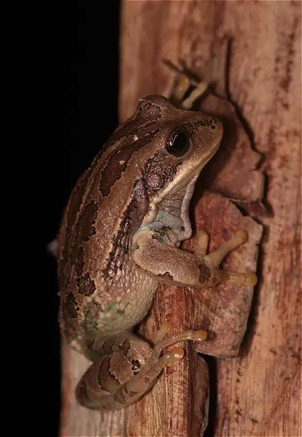
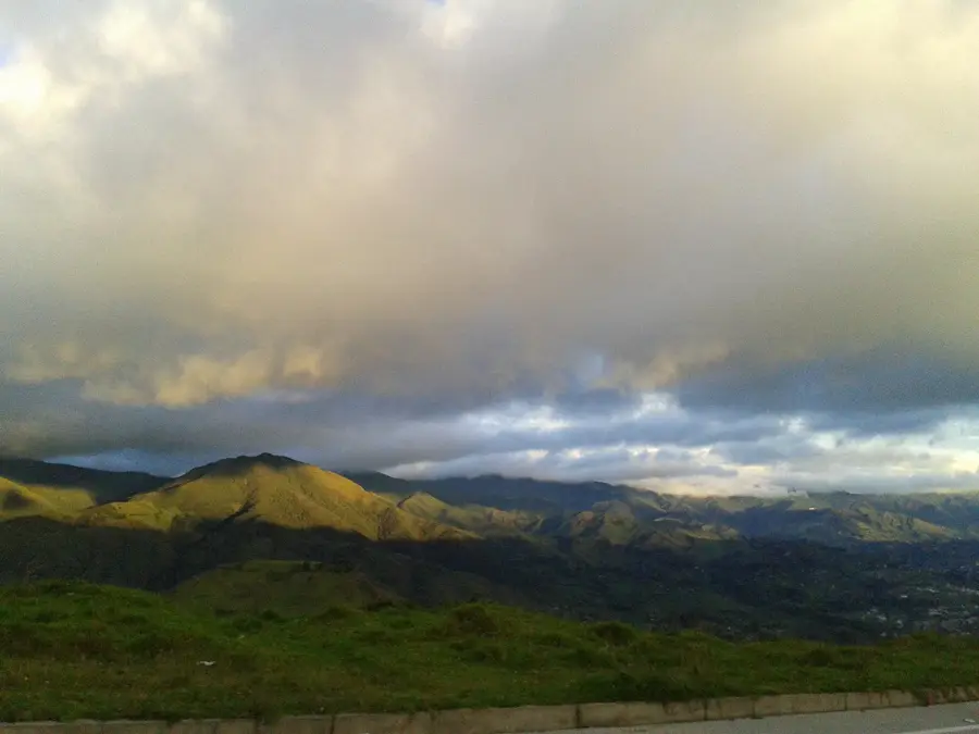
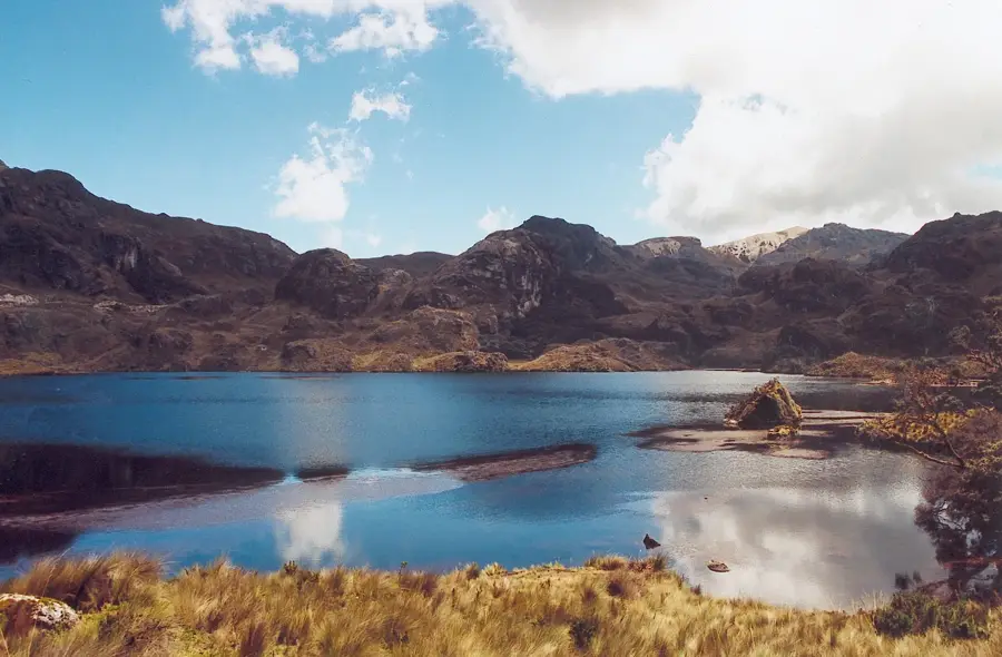
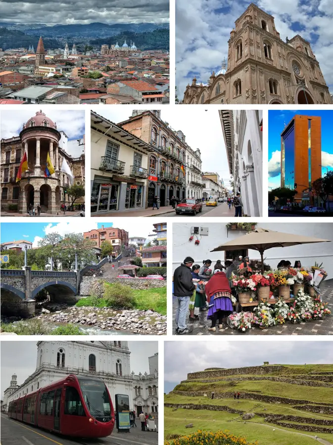
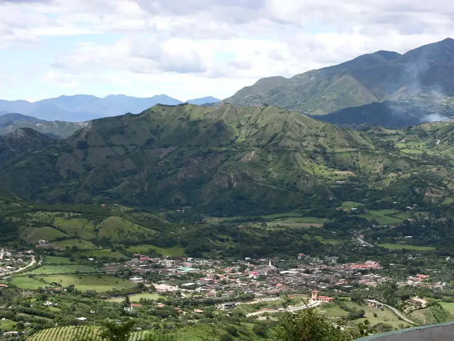
Cajas National Park is located in the Azuay Province of southern Ecuador, approximately 30 kilometers west of the city of Cuenca. Covering an area of about 28,500 hectares, the park is characterized by its dramatic high-altitude Andean landscape, ranging from 3,100 to 4,450 meters above sea level. It is renowned for its more than 270 lakes and lagoons formed by Pleistocene glaciation, which provide critical water resources for the region. The dominant vegetation is the páramo, a unique alpine tundra ecosystem that supports diverse endemic wildlife, including the Andean condor and the spectacled bear. The park serves as a continental divide, with waters flowing towards both the Pacific Ocean and the Amazon River. Cajas was established as a national park in 1996 and became part of the UNESCO Macizo del Cajas Biosphere Reserve in 2013. Its network of trails features visitors exceptional opportunities to explore the pristine Andean wilderness.
- Location: Ecuador
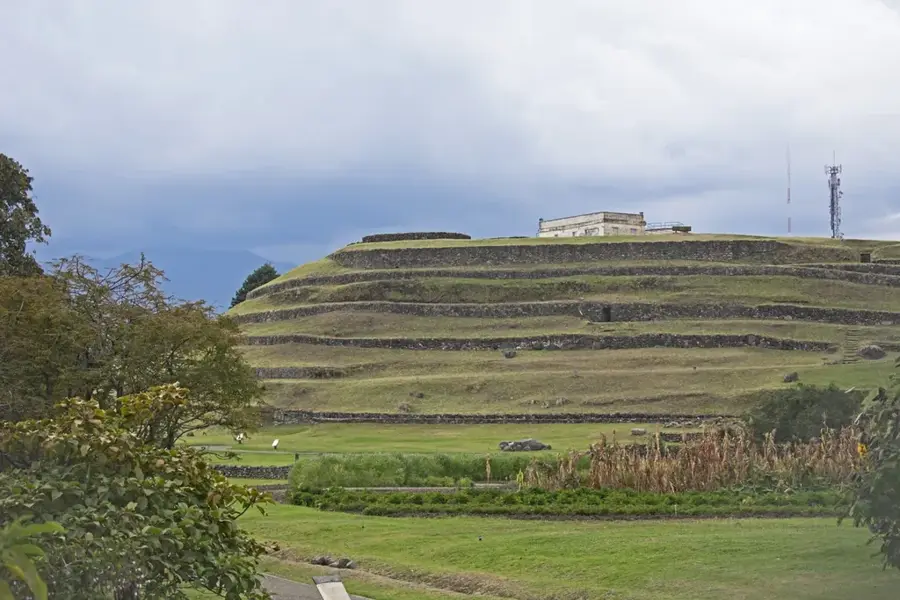
- Top sights: Piedra Hongo · amazing view · laguna
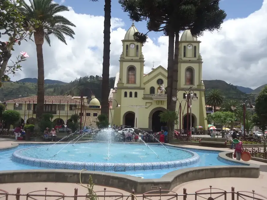
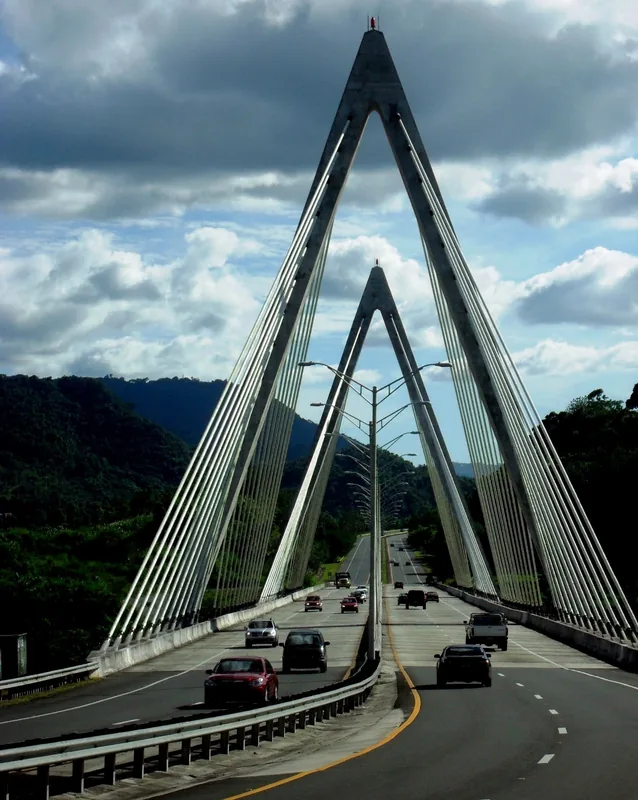
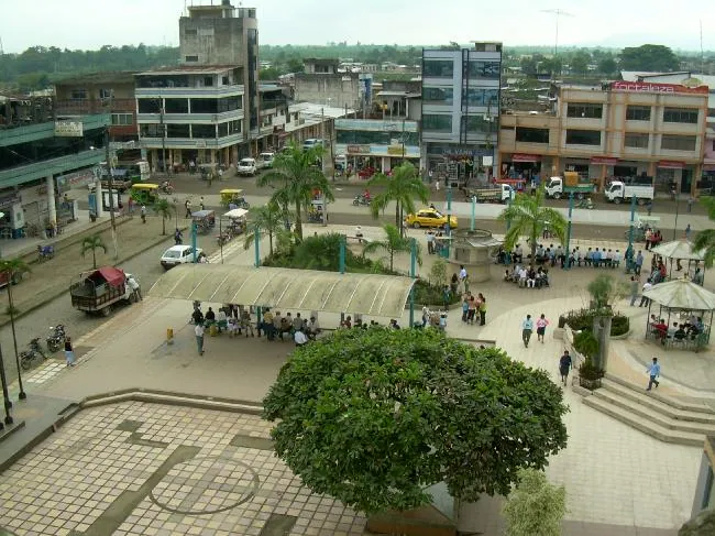
- Nearby: La Troncal (14 km)
Best time to visit & climate
The most pleasant time to visit is Sep, Nov, Dec.
| Jan | Feb | Mar | Apr | May | Jun | Jul | Aug | Sep | Oct | Nov | Dec | |
|---|---|---|---|---|---|---|---|---|---|---|---|---|
| Avg °C | 14 | 14 | 14 | 14 | 13 | 12 | 12 | 12 | 13 | 14 | 14 | 14 |
| Rain mm | 85 | 98 | 124 | 107 | 89 | 79 | 58 | 51 | 49 | 80 | 86 | 82 |
📋 Practical info
Geography
Facts
- The park contains a system of more than 270 glacial lakes and lagoons.
- It was officially designated as a national park in the year 1996.
- Altitudes within the reserve range from 3,100 to 4,450 meters.
- The park acts as a continental divide between the Pacific and Atlantic.
- Since 2013, it has been part of a UNESCO Biosphere Reserve.
- It protects high-altitude Polylepis forests, some of the highest on Earth.
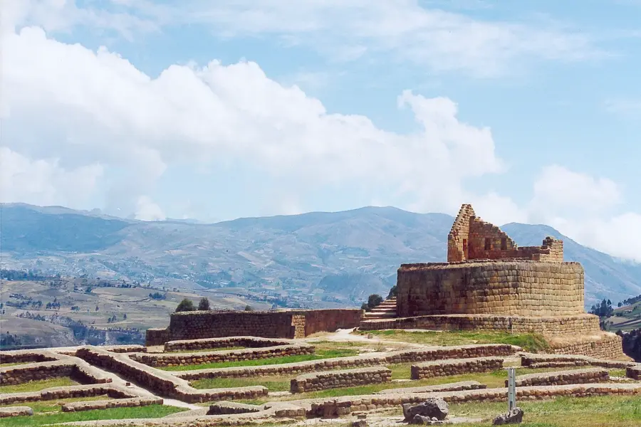
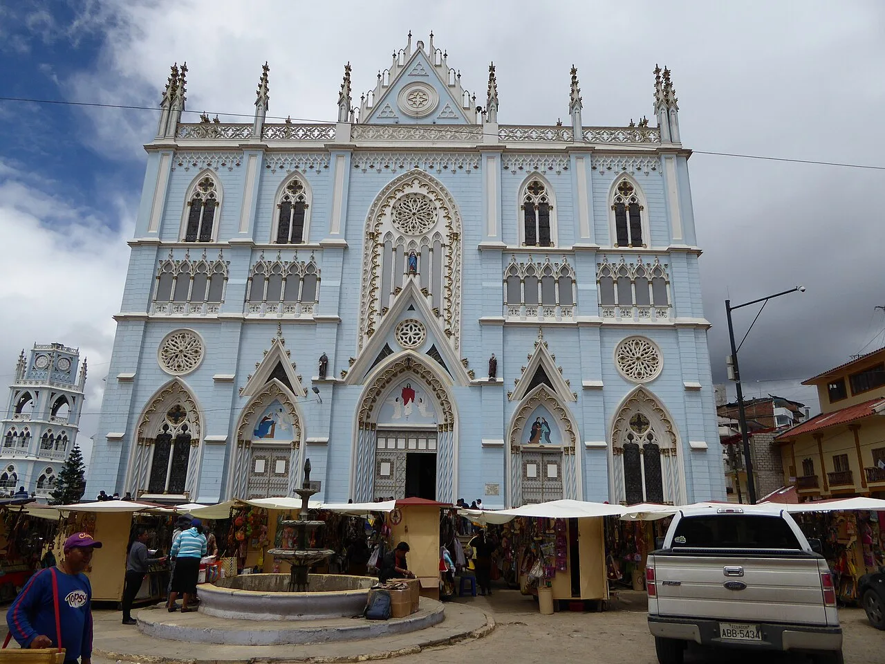
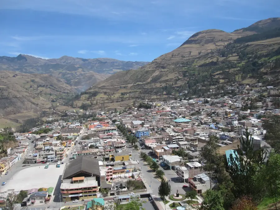
Explore nearby
Notable places around
Route planner — Car & Motorhome
Where do you start? We build the route here, with stops and country notes along the way.
© OpenStreetMap contributors · OpenRouteService
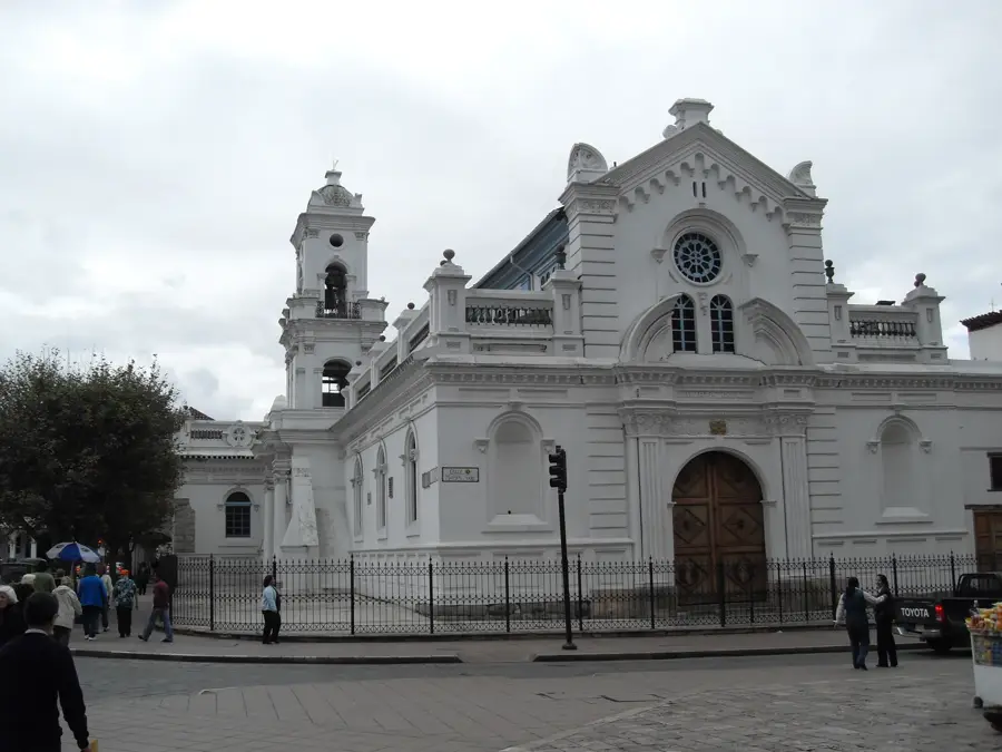
Sights in the town Cajas National Park (7)
Sights nearby
Frequently asked questions
What is the main attraction in Cajas National Park?
How far is the park from Cuenca?
Is there an entrance fee for the national park?
What clothing is recommended?
At what altitude is the park located?
Cajas National Park: where is it located?
Cajas National Park: what is there to see?
Cajas National Park: when is the best time to visit?
Cajas National Park: why is it worth visiting?

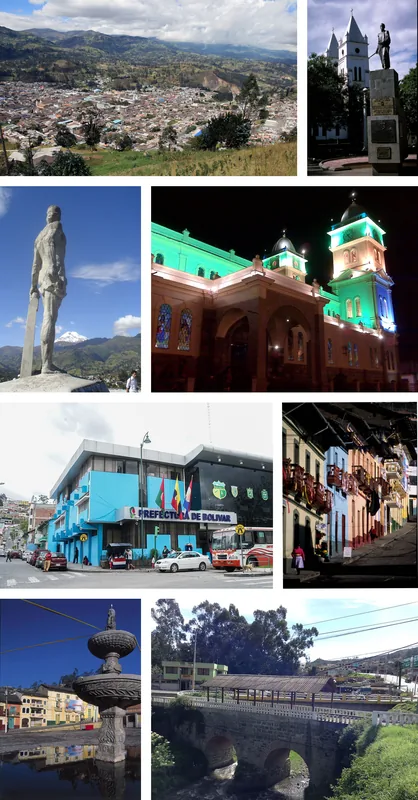
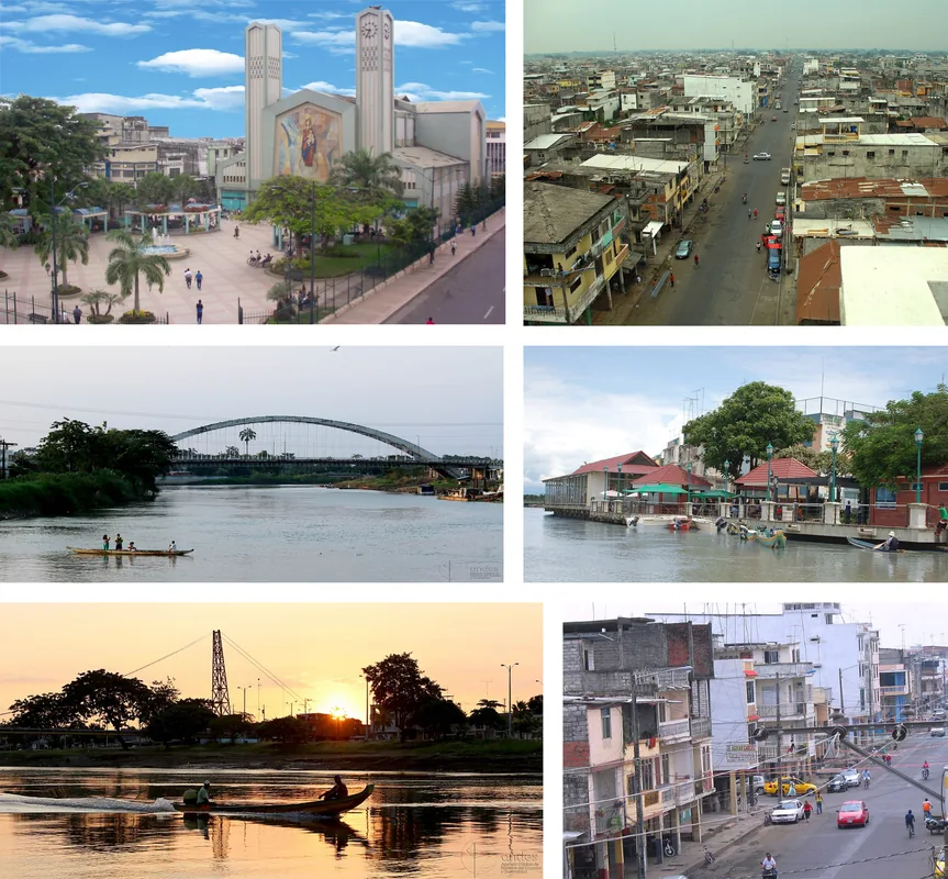
Nearby cities


History & landmarks


More places