Plizio Visual Lab
Gulf of Guayaquil

Weather…
Water temperature…
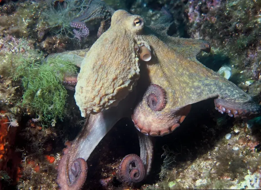
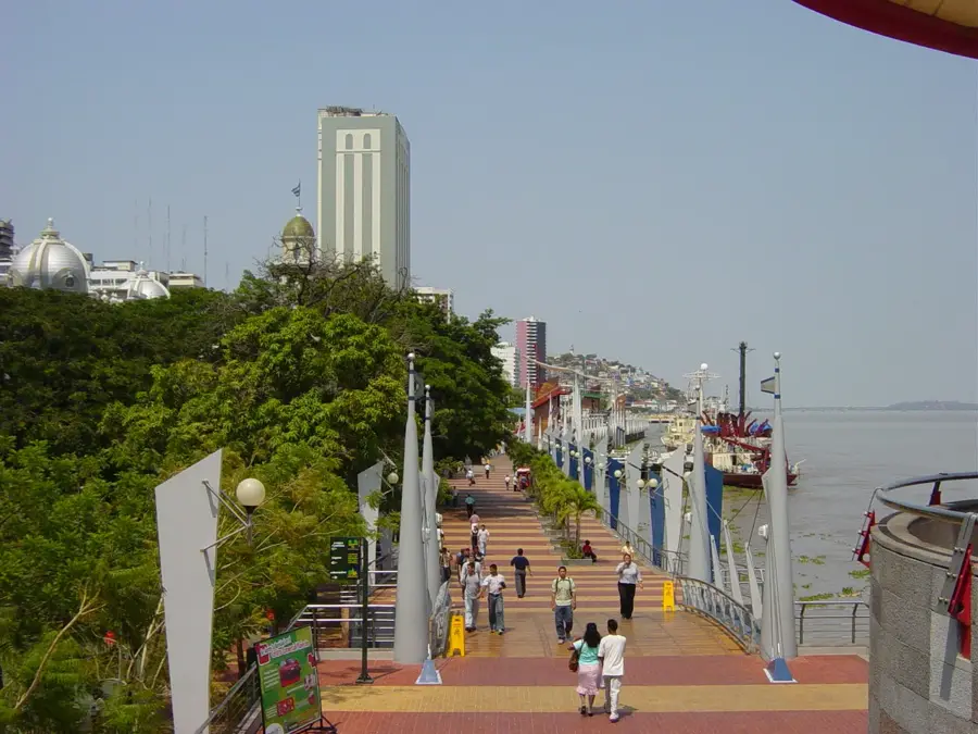
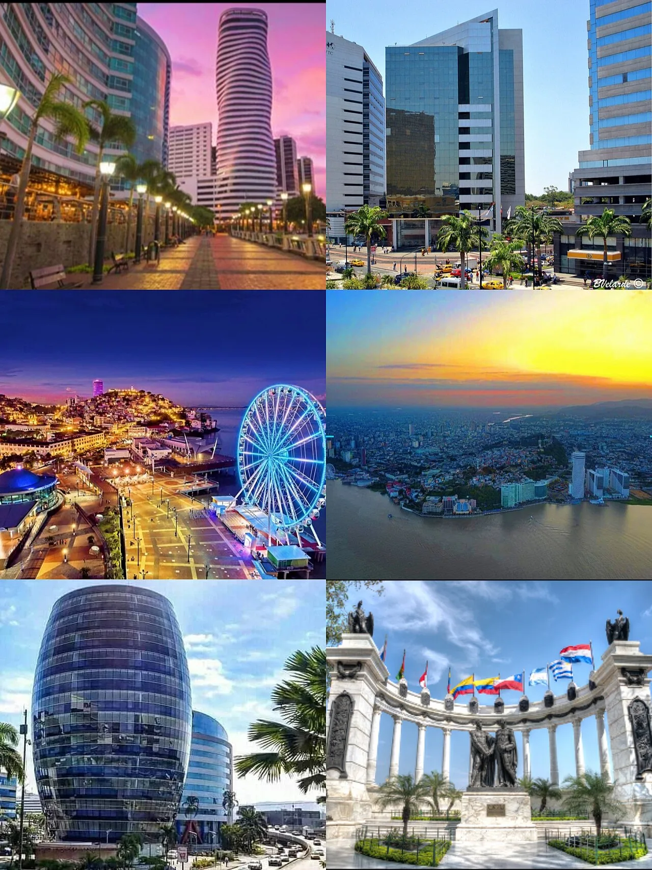
The Gulf of Guayaquil is the largest inlet of the Pacific Ocean on the western coast of South America, forming a massive estuarine system between Ecuador and Peru. Spanning roughly 12,000 square kilometers, the gulf is primarily fed by the Guayas River and its tributaries, which deposit vast amounts of sediment into the ocean. This mixing of fresh and salt water has fostered one of the most extensive mangrove ecosystems in the region, providing a critical habitat for numerous fish, crustacean, and bird species. At the center of the gulf lies Puná Island, the largest island in the area, which features a rich pre-Columbian history and diverse coastal flora. Economically, the gulf is of vital importance to Ecuador, as it provides maritime access to the Port of Guayaquil, the country's main commercial hub. The area includes significant protected zones, such as the Manglares Churute Ecological Reserve, which safeguards rare wildlife like howler monkeys and various waterfowl. Despite industrial pressures, the gulf remains a biological hotspot that illustrates the complex relationship between river dynamics and the open sea.
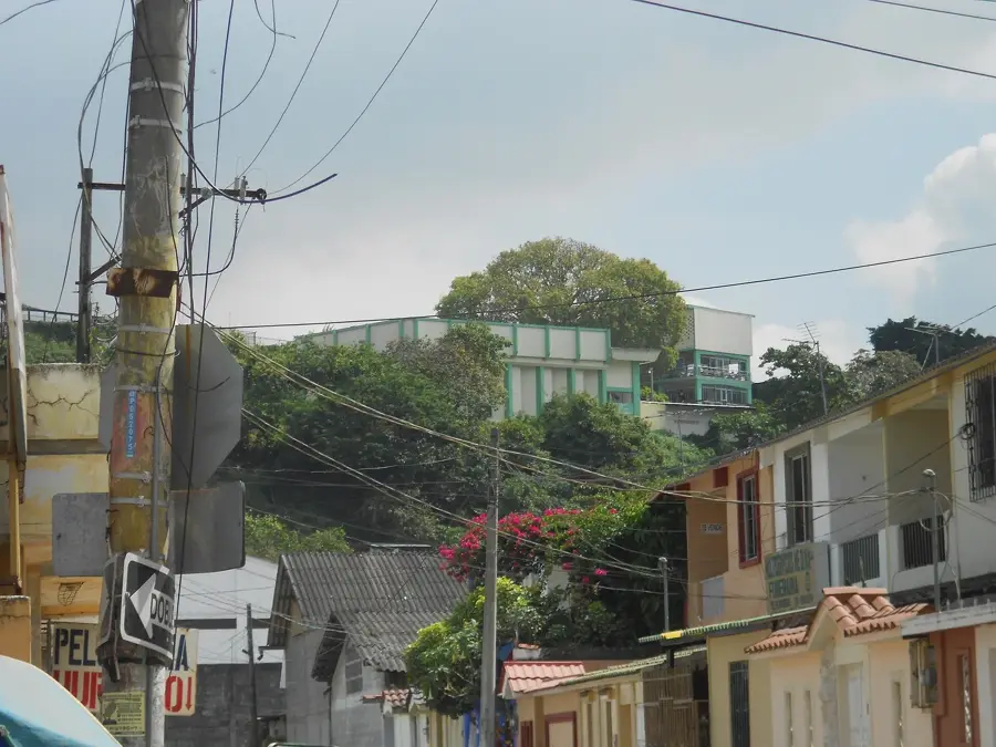
- Location: Ecuador
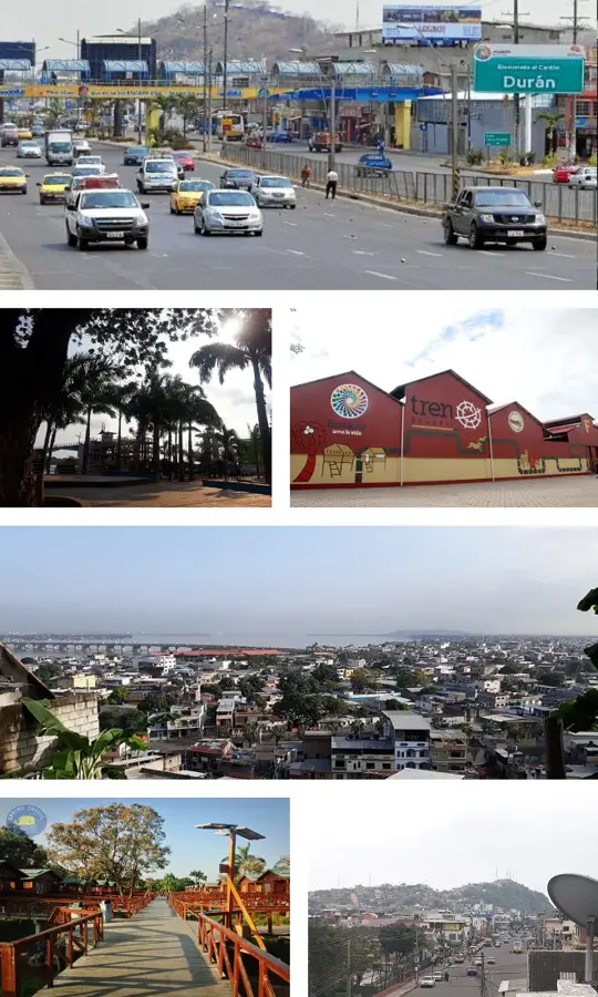
- Nearby: General Villamil Playas (14 km)
Best time to visit & climate
The most pleasant time to visit is Aug–Oct.
| Jan | Feb | Mar | Apr | May | Jun | Jul | Aug | Sep | Oct | Nov | Dec | |
|---|---|---|---|---|---|---|---|---|---|---|---|---|
| Avg °C | 25 | 25 | 26 | 25 | 25 | 23 | 23 | 22 | 22 | 22 | 23 | 24 |
| Rain mm | 57 | 116 | 144 | 68 | 24 | 8 | 4 | 3 | 3 | 5 | 6 | 13 |
📋 Practical info
Geography
Facts
- The gulf covers an area of approximately 12,000 square kilometers.
- The Guayas River enters the gulf after a 60-kilometer estuary.
- Puná Island has a total surface area of 919 square kilometers.
- The gulf contains some of South America's largest mangrove forests.
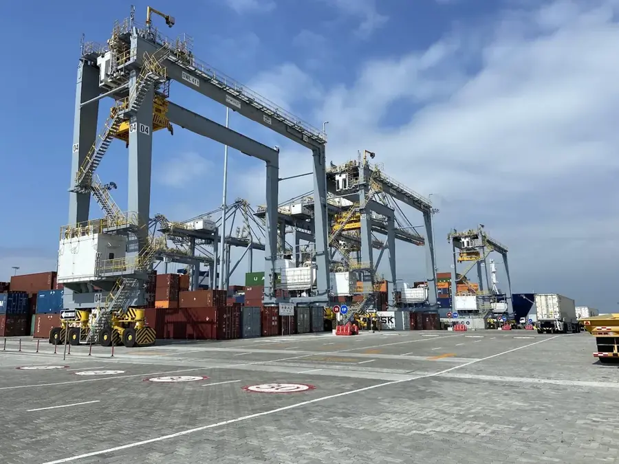
- Guayaquil's port handles 85% of the country's non-oil exports.
- The average depth of the gulf ranges between 20 and 50 meters.
Explore nearby
Notable places around
Route planner — Car & Motorhome
Where do you start? We build the route here, with stops and country notes along the way.
© OpenStreetMap contributors · OpenRouteService
Sights nearby
Frequently asked questions
What is the Gulf of Guayaquil?
Can you see dolphins there?
What birds live in the mangroves?
Is the water clean?
Are there islands in the gulf?
Gulf of Guayaquil: where is it located?
Gulf of Guayaquil: when is the best time to visit?
Gulf of Guayaquil: why is it worth visiting?

Nearby cities
History & landmarks
Nature
More places