Plizio Visual Lab
Chongón-Colonche Mountain Range

Weather…
Water temperature…
The Chongón-Colonche mountain range extends for about 330 kilometers along the Ecuadorian coast through the provinces of Guayas, Santa Elena, and Manabí. This range plays a vital ecological role as a barrier to moist air masses from the Pacific Ocean, resulting in the formation of cloud forests at higher elevations. The region preserves one of the last significant fragments of tropical dry forest and coastal humid forest in Ecuador. Historically, the area was home to major pre-Columbian cultures such as the Valdivia, Machalilla, and Chorrera civilizations, with archaeological traces dating back to 3500 BC. Today, the range is of central importance for the protection of endangered species like the Great Green Macaw and the Ecuadorian Mantled Howler Monkey. Despite its ecological significance, the region is threatened by agriculture, mining, and uncontrolled urbanization, requiring strengthened conservation measures.
- Location: Ecuador
- Top sights: Pk. 244 sector · Pk. 245 sector · Pk. 249. Sector
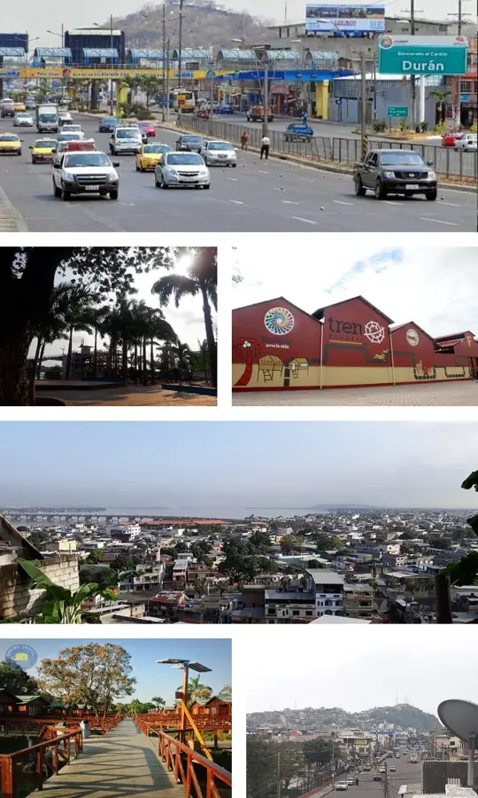
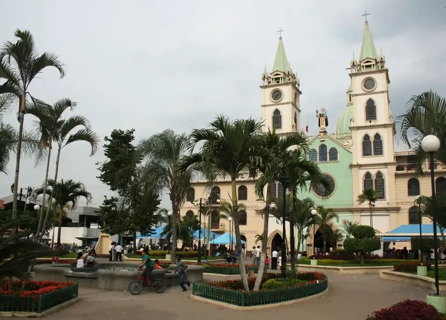
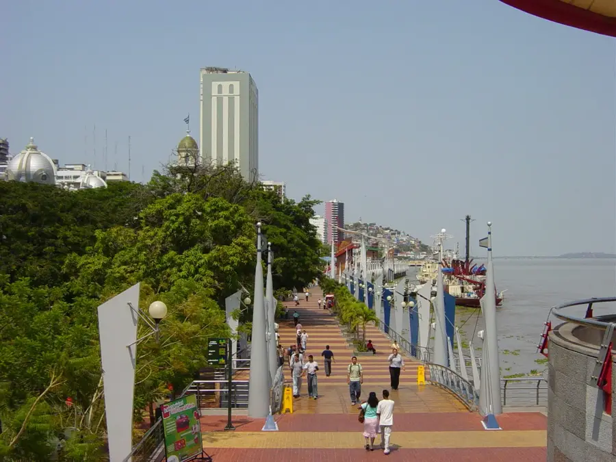
- Nearby: Daule (20 km)
Best time to visit & climate
The most pleasant time to visit is Sep–Nov.
| Jan | Feb | Mar | Apr | May | Jun | Jul | Aug | Sep | Oct | Nov | Dec | |
|---|---|---|---|---|---|---|---|---|---|---|---|---|
| Avg °C | 28 | 27 | 27 | 27 | 27 | 27 | 28 | 28 | 28 | 27 | 27 | 28 |
| Rain mm | 123 | 215 | 212 | 126 | 38 | 10 | 3 | 3 | 2 | 6 | 8 | 24 |
📋 Practical info
Geography
Facts
- The mountain range reaches a maximum elevation of about 800 meters above sea level.
- It is home to over 30 tree species that occur exclusively in this ecosystem.
- Ceramics from the Valdivia culture dating back to 3500 BC have been found here.
- Approximately 100,000 hectares of the range are designated as protective forest.
- Over 200 bird species have been documented in the Chongón-Colonche forests.
- The mountains are the primary freshwater source for the Santa Elena Peninsula.
Explore nearby
Notable places around
Route planner — Car & Motorhome
Where do you start? We build the route here, with stops and country notes along the way.
© OpenStreetMap contributors · OpenRouteService
Sights in the town Chongón-Colonche Mountain Range (7)
Sights nearby
Frequently asked questions
Where are the Chongón-Colonche mountains?
What ecosystems are found there?
Why are these mountains important?
Can you go birdwatching there?
Are there hiking trails?
Chongón-Colonche Mountain Range: where is it located?
Chongón-Colonche Mountain Range: what is there to see?
Chongón-Colonche Mountain Range: when is the best time to visit?
Chongón-Colonche Mountain Range: why is it worth visiting?

Nearby cities
History & landmarks

Nature
More places