Plizio Visual Lab
Cerro Blanco Protected Forest

Weather…
Water temperature…
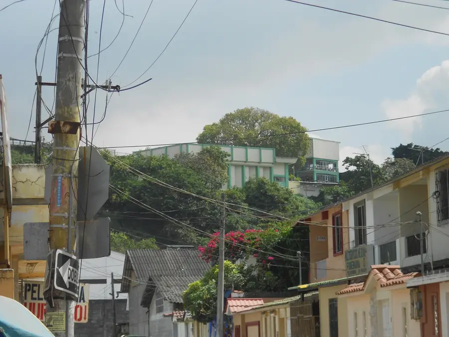
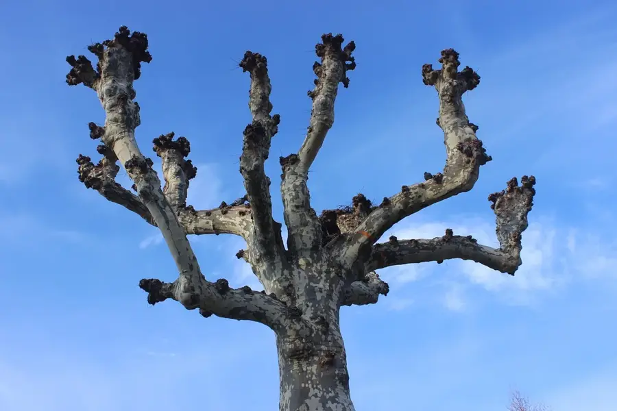
The Cerro Blanco Protected Forest is located on the western outskirts of Guayaquil, encompassing approximately 6,078 hectares. It protects one of the most vital remnants of tropical dry forest on the Ecuadorian coast, an ecosystem that is among the most threatened globally. The forest is managed by the Pro-Bosque Foundation, which was established in 1989 to safeguard the region's biodiversity and water resources. Cerro Blanco is particularly famous for being the habitat of the Great Green Macaw (Ara ambiguus guayaquilensis), a critically endangered species that finds sanctuary here. The flora is characterized by massive Ceiba trees and Guayacán trees that burst into yellow blooms during the brief rainy season. More than 200 bird species and mammals such as howler monkeys, jaguars, and jaguarundis have been recorded. Beyond conservation, the forest serves as a key environmental education center and a recreational escape for the people of Guayaquil.
- Location: Ecuador
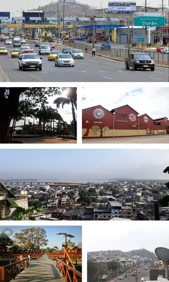
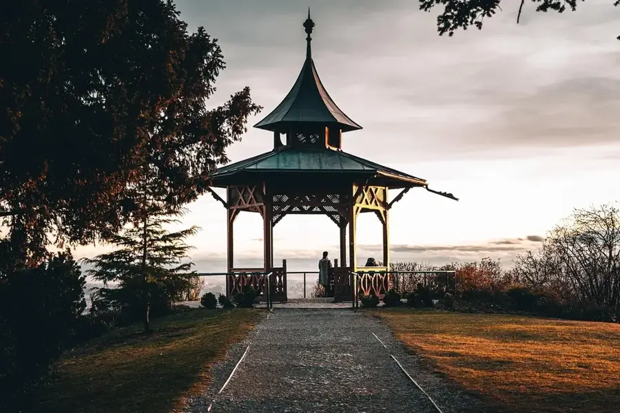
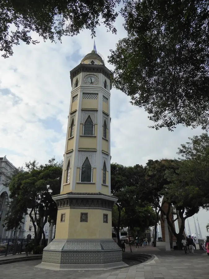
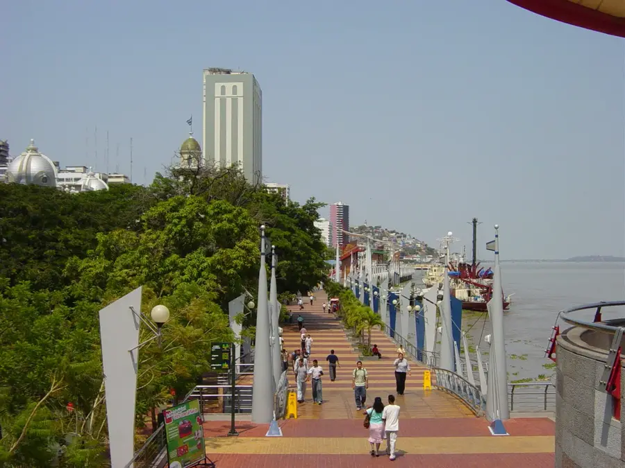
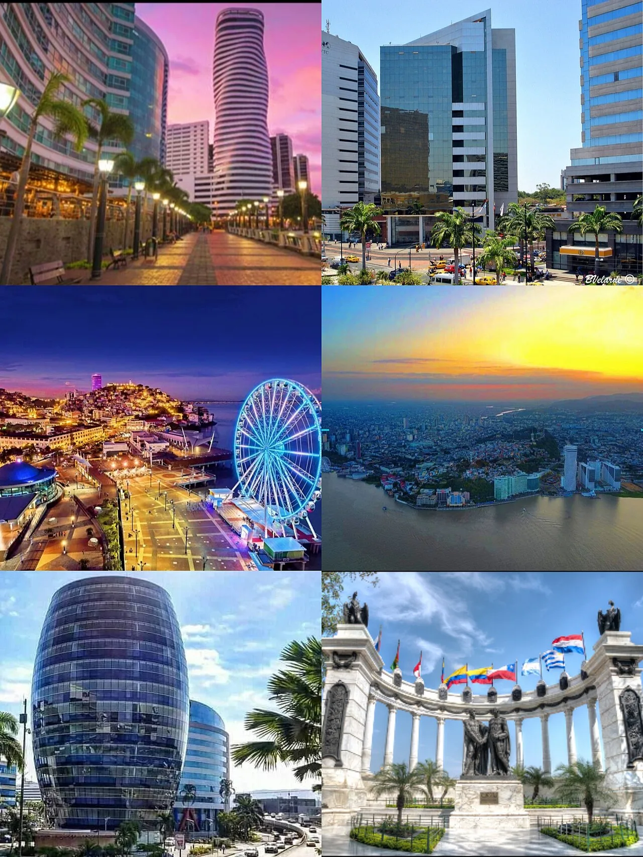
- Top sights: complejo deportivo la vista · Puerto Hondo · Mirador
- Nearby: Daule (8 km)
Best time to visit & climate
The most pleasant time to visit is Sep–Nov.
| Jan | Feb | Mar | Apr | May | Jun | Jul | Aug | Sep | Oct | Nov | Dec | |
|---|---|---|---|---|---|---|---|---|---|---|---|---|
| Avg °C | 28 | 27 | 27 | 27 | 27 | 27 | 28 | 28 | 28 | 27 | 27 | 28 |
| Rain mm | 123 | 215 | 212 | 126 | 38 | 10 | 3 | 3 | 2 | 6 | 8 | 24 |
📋 Practical info
Geography
Facts
- The protected forest was officially established in 1989.
- It covers a total area of approximately 6,078 hectares.
- More than 200 distinct bird species inhabit the forest.
- It is the primary sanctuary for the critically endangered Great Green Macaw.
- There are four major nature trails designed for ecotourism and education.
- The forest is privately managed by the Pro-Bosque Foundation.
Explore nearby
Notable places around
Route planner — Car & Motorhome
Where do you start? We build the route here, with stops and country notes along the way.
© OpenStreetMap contributors · OpenRouteService
Sights in the town Cerro Blanco Protected Forest (7)
Sights nearby
Frequently asked questions
How far is it from Guayaquil?
What hiking trails are available?
Do I need a guide?
What is the forest's symbol?
What are the opening hours?
Cerro Blanco Protected Forest: where is it located?
Cerro Blanco Protected Forest: what is there to see?
Cerro Blanco Protected Forest: when is the best time to visit?
Cerro Blanco Protected Forest: why is it worth visiting?

Nearby cities
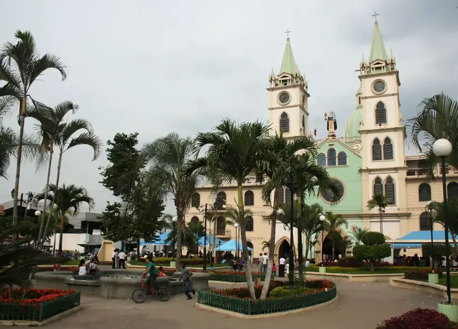
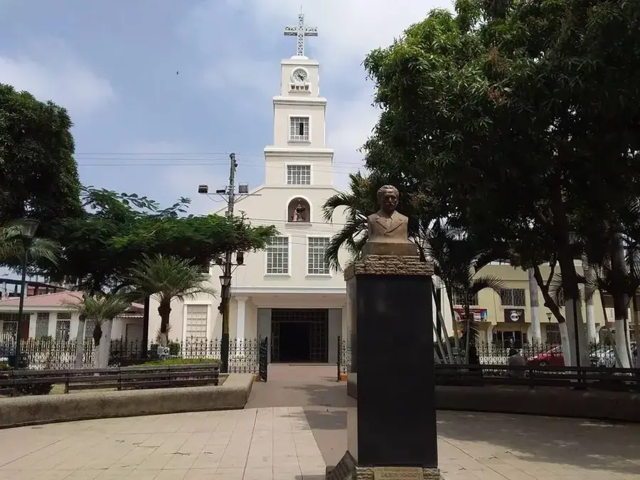
History & landmarks
Nature
More places