Plizio Visual Lab
Guayas River
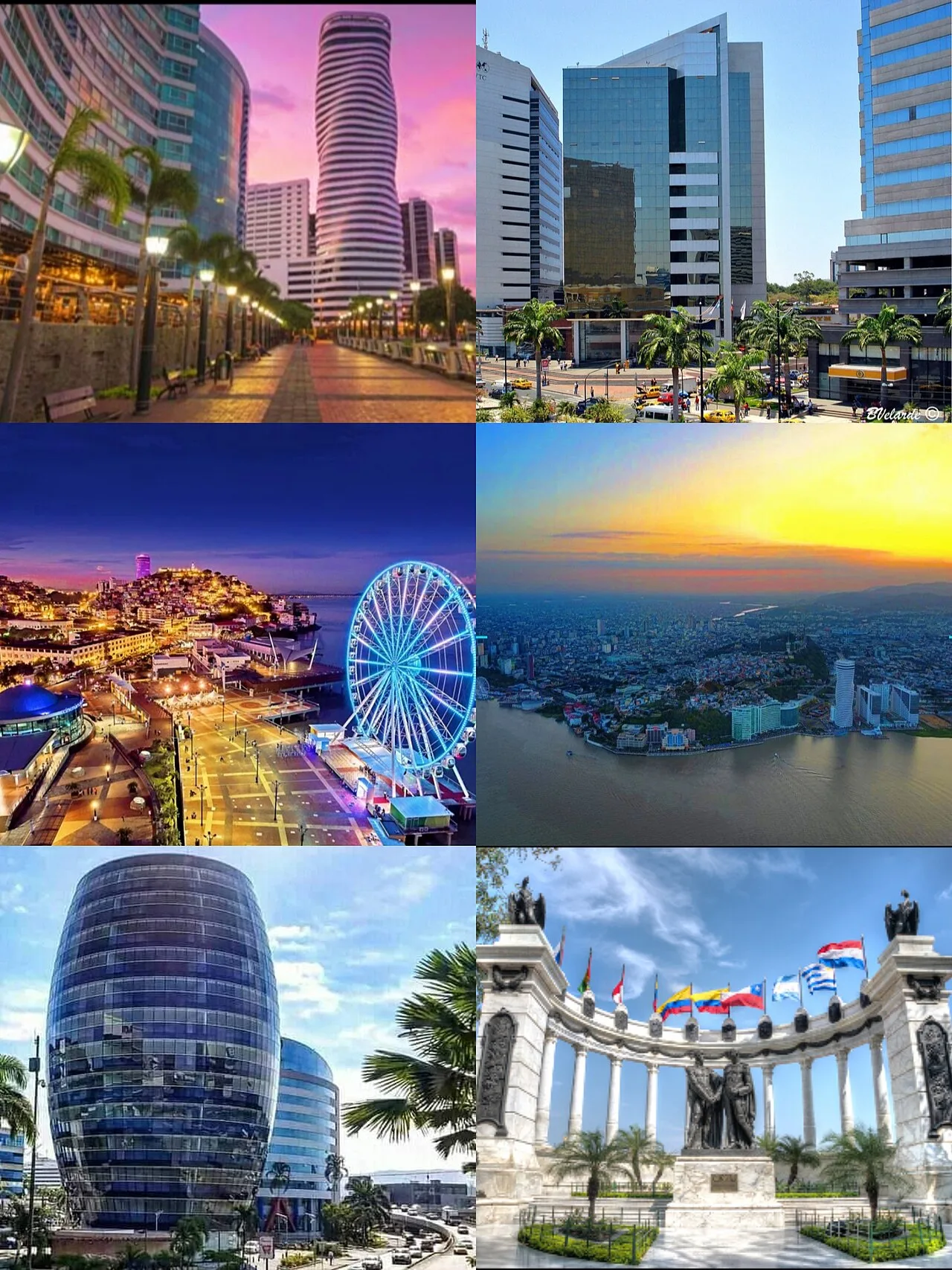
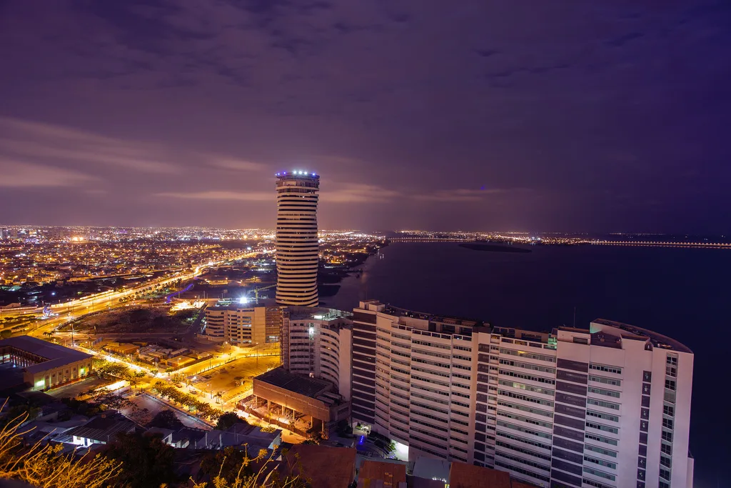
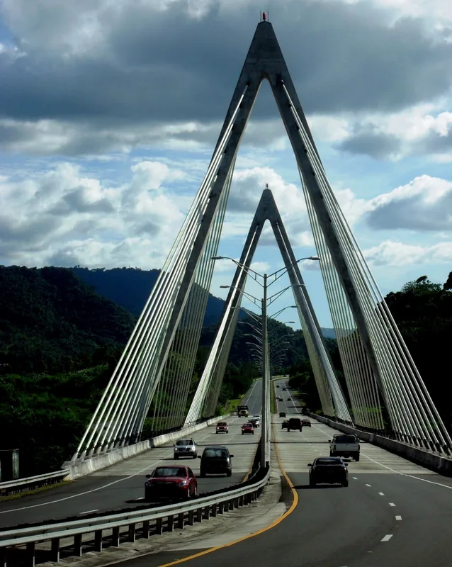
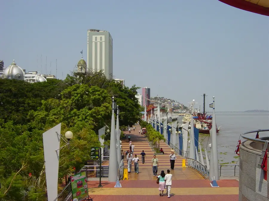
The Guayas River is the most significant waterway in the coastal region of Ecuador, flowing into the Pacific Ocean at the port city of Guayaquil. It is formed by the confluence of the Daule and Babahoyo rivers north of the city, representing the largest drainage basin on South America's west coast. The Guayas basin encompasses fertile lowlands that serve as Ecuador's agricultural heartland, producing vast quantities of bananas, rice, and sugarcane. Due to its exceptional width and water volume, the river plays a central role in the nation's international maritime trade and logistics. The influence of Pacific tides reaches far inland, creating a complex hydrographic dynamic that affects water levels and salinity. Ecologically, the Guayas estuary features extensive mangrove forests that act as vital nurseries for numerous fish and crustacean species. Historically, the river was the primary entry point for explorers and traders and remains a powerful symbol of Guayaquil's economic significance. The "National Unity Bridge" spans the mighty current, connecting the economic hub with the interior of the country.
- Location: Ecuador
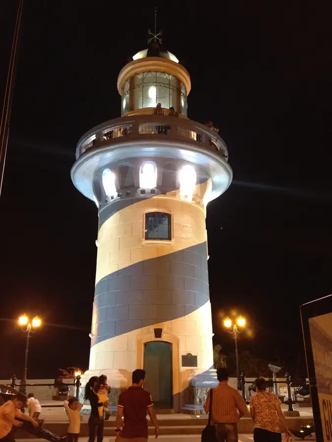
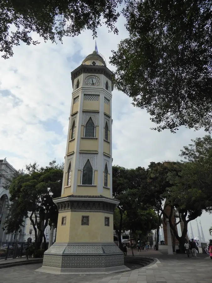
- Top sights: Cinco como un puño · Casa de los Titeres · Mirador de Ecuavisa
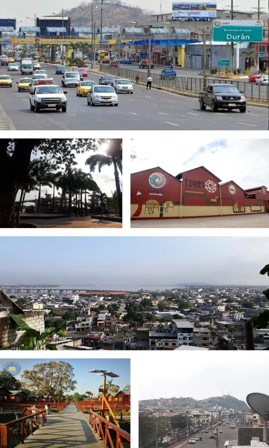
- Nearby: Durán (7 km)
Best time to visit & climate
The most pleasant time to visit is Sep–Nov.
| Jan | Feb | Mar | Apr | May | Jun | Jul | Aug | Sep | Oct | Nov | Dec | |
|---|---|---|---|---|---|---|---|---|---|---|---|---|
| Avg °C | 28 | 27 | 27 | 27 | 27 | 27 | 28 | 28 | 28 | 27 | 27 | 28 |
| Rain mm | 123 | 215 | 212 | 126 | 38 | 10 | 3 | 3 | 2 | 6 | 8 | 24 |
📋 Practical info
Geography
Facts
- The Guayas is the largest river system on the west coast of South America.
- It officially begins at the confluence of the Daule and Babahoyo rivers.
- The river empties into the Gulf of Guayaquil in the Pacific Ocean.
- Pacific tides influence the river's water level as far as 50 km upstream.
- The National Unity Bridge over the Guayas is one of the longest in Ecuador.
- Its drainage basin covers an area of approximately 34,500 square kilometers.
Explore nearby
Notable places around
Route planner — Car & Motorhome
Where do you start? We build the route here, with stops and country notes along the way.
© OpenStreetMap contributors · OpenRouteService
Sights in the town Guayas River (12)
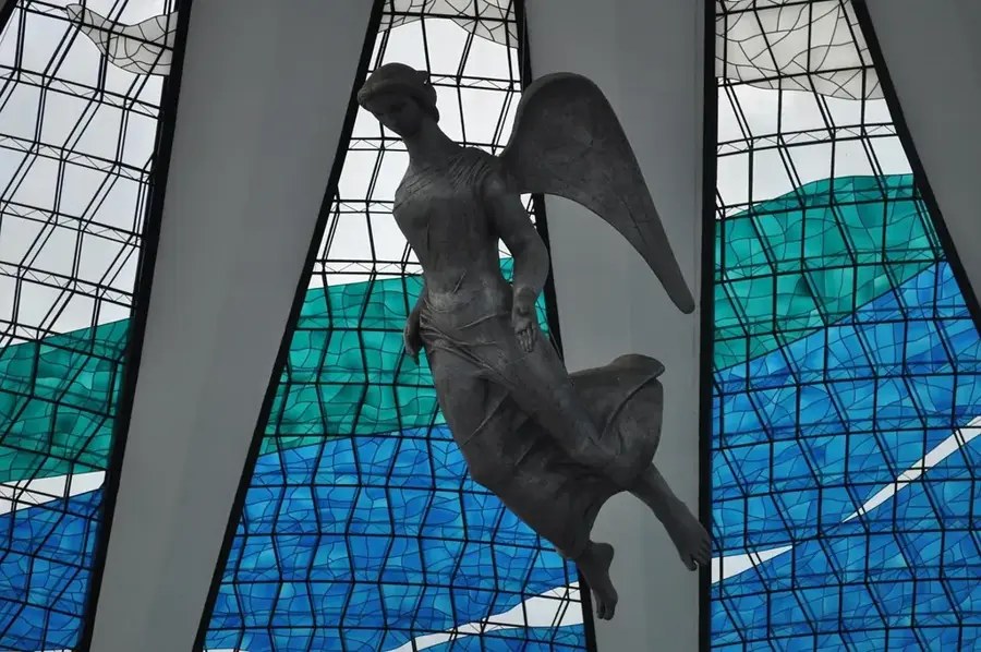
Capilla Espíritu Santo (Radio La Voz de María)⛪ religious
Affiliated with the Catholic broadcaster La Voz de María, this intimate Holy Spirit Chapel serves both as a broadcast site and a quiet place of prayer.
Sights nearby
Frequently asked questions
Which city does the Guayas flow through?
Can you walk along the river?
Are there river cruises?
Is the water clean?
Can you visit Santay Island?
Guayas River: where is it located?
Guayas River: what is there to see?
Guayas River: when is the best time to visit?
Guayas River: why is it worth visiting?

Nearby cities


History & landmarks

More places